Attractions and Places To See in Panamá Oeste - Top 12
Best attractions and places to see in Panamá Oeste include a diverse range of natural features, historical sites, and conservation efforts. This province, located west of the Panama Canal, offers visitors opportunities to explore significant landmarks and varied landscapes. From sandy beaches to cloud forests and important waterways, the region provides numerous points of interest. It serves as a gateway to understanding Panama's engineering marvels and natural beauty.
Best attractions and places to see in Panamá Oeste
- The most popular attractions is Panama Canal, a man_made_monument that is an artificial waterway approximately 82 km long. The lock chambers are filled and emptied solely by the force of gravity.
- Another must-see spot is Golden Frog Conservation Center and Trailhead, a trail and facilities focused on the conservation of Golden Frogs. Visitors can see some frogs on display and explore a small trail that passes by "square trees."
- Visitors also love Playa Teta, a sandy beach at the mouth of Río Teta. This beach offers a secluded feel with rocky cliffs and a mix of black and white sand, and the river forms a small lagoon suitable for bathing.
- Panamá Oeste is known for its beaches, trails, and historical sites. The region offers a variety of attractions to see and explore, from natural coastal areas to significant engineering marvels.
- The attractions in Panamá Oeste are appreciated by the komoot community, with 5 upvotes and 40 photos shared by visitors.
Last updated: May 21, 2026
Panama Canal
Highlight • Monument
Translated by Google •
Tip by

Golden Frog Conservation Center and Trailhead
Highlight • Trail
Tip by

Sign up now to discover places like this
Get recommendations on the best single tracks, peaks, & plenty of other exciting outdoor places.
Sign up for free
Bridge of the Americas
Highlight (Segment) • Bridge
It was inaugurated on October 12, 1962, occupying the same location as the ferry it replaced. The United States authorities attempted to name it Thatcher Bridge, but the Panamanian Legislative Assembly decided on the name "Bridge of the Americas," officially designated by resolution of October 2, 1962, because it not only connected Panama's capital city with the interior of the country by land, but also connected the continental landmasses of North and Central America with South America, separated by the Panama Canal. The bridge has a modillion arch design and is 1,654 m long.
Translated by Google •
Tip by

Las Américas Overlook and Chinese Memorial
Highlight • Viewpoint
It has been restored and embellished by a Chinese pagoda-style gate and memorials to 150 years of Chinese presence and collaboration with Panama. Snacks and souvenirs are sold near shaded picnic areas.
Access feels a bit dicey via the eastbound access ramp onto the bridge, but if staying on the side it is fairly save to reach the wide shoulder toward the overlook, and onward simoly stay on the sidewalk across the bridge.
Tip by
Locks of the Panama Canal
Highlight • Monument
Translated by Google •
Tip by

Panama Canal Transit
Highlight • Structure
The ship locks are located near the two oceans.
The summit level, with a height of 26 m between them, is approximately 57 m long.
Translated by Google •
Tip by

Playa Teta
Highlight • Beach
Tip by
Playa Veracruz
Highlight • Beach
Tip by
Rio Fanfan beach trailhead and dam bridge
Highlight • Trail
Tip by
TuriCentro and Veracruz Park
Highlight • Beach
Tip by
Sign up for free to discover even more attractions in Panamá Oeste.
Sign up for free
Already have an account?
Start today with a free account
Your next adventure awaits.
Login or Signup
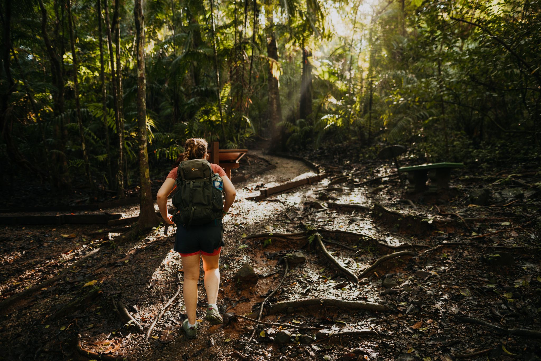
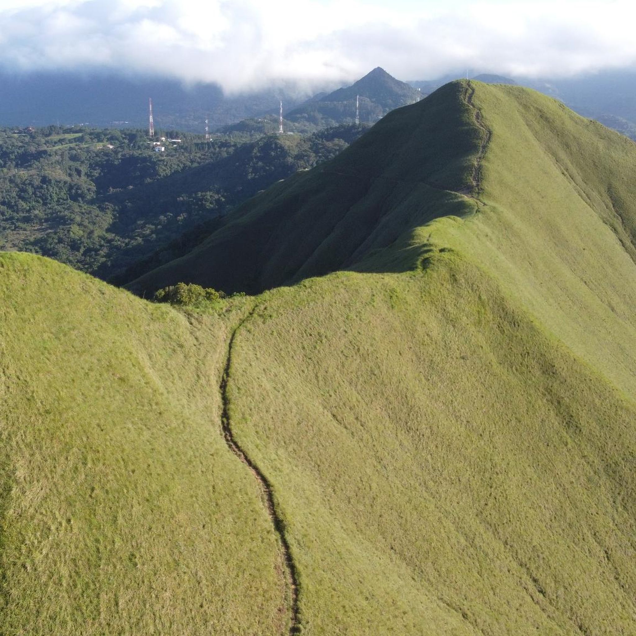

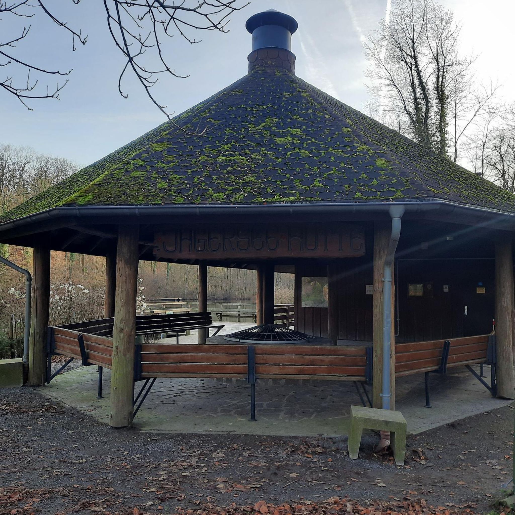

Other adventures in Panamá Oeste

Tips from the Community

The Panama Canal uses a system of three lock complexes to lift ships 26 meters to the level of Gatun Lake and back down. They functioned as water elevators, with ships being pulled into the chambers by locomotives. Since 2016, the larger, modern Neopanamax locks have supplemented the passage. Old locks: Chambers are approx. 304.8 to 327.6 meters long and 33.53 meters wide New locks: Are 427 meters long and 55 meters wide Transit time: A complete passage through the locks and the canal takes about 8 to 10 hours.
0
0
The Panama Canal is an artificial waterway, approximately 82 km long.
2
0
The lock chambers are filled and emptied solely by the force of gravity; there are no pumps. It takes approximately 8 minutes to fill or empty a chamber. Typically, 101,000 cubic meters of water flow in or out of the chamber. The older Panamax locks use a towpath system.
2
0
Our boat trip lasted over 3 hours.
2
0
The Panama Canal is an artificial waterway approximately 82 km long. The ship locks are located near the two oceans. The summit level, with a height of 26 m between them, is approximately 57 m long.
2
0

The Bridge of the Americas is a wheeled vehicle bridge, with a wide shoulder for bicycles and pedestrians, but there are no shoulder ramps, so bicycle access is not very comfortable and appears dangerous due to the shared path with vehicles on both sides. It offers panoramic views of the canal, all the way to Miraflores. It crosses the Panama Canal at its Pacific entrance and connects the towns of Balboa (in Panama City) to the northeast and the district of Arraiján to the southwest. It was inaugurated on October 12, 1962, occupying the same location as the ferry it replaced. The United States authorities attempted to name it Thatcher Bridge, but the Panamanian Legislative Assembly decided on the name "Bridge of the Americas," officially designated by resolution of October 2, 1962, because it not only connected Panama's capital city with the interior of the country by land, but also connected the continental landmasses of North and Central America with South America, separated by the Panama Canal. The bridge has a modillion arch design and is 1,654 m long.
2
0

The Miraflores Locks form the entrance to the canal from the Pacific side. After almost 100 years, they were too small for new container ships, so Panama began building new, supplementary locks after taking over the Canal Zone from the United States. These are located just a little to the west. Feel free to wave to the sailors; they have a lonely job.
1
0
Sandy beach at the mouth of Río Teta that essentially feels like a private spot framed by rocky cliffs on both sides. Black sand higher up alternates with white sand at the water. A watchman seems to guard the road leading down to the beach at the turnoff to a luxury villa development. The river brings clear sweet water and forms a small lagoon to bath in before reaching the ocean.
0
0
Frequently Asked Questions
What natural attractions can I explore in Panamá Oeste?
Panamá Oeste offers a variety of natural attractions, including beautiful beaches and lush parks. You can visit Playa Teta, a secluded sandy beach with rocky cliffs and a mix of black and white sand, or Playa Veracruz, which offers views of the Amador Causeway and Panama City skyline. For a different experience, explore Altos de Campana National Park, known for its cloud forests and hiking trails, or the Lagoon of San Carlos.
Are there any historical sites related to the Panama Canal in Panamá Oeste?
Yes, Panamá Oeste is home to significant sites related to the Panama Canal. The Bridge of the Americas is a prominent landmark connecting the provinces at the Pacific entrance of the canal, offering panoramic views. You can also visit the Las Américas Overlook and Chinese Memorial for excellent views of the bridge and canal, along with a Chinese pagoda-style gate.
What activities are available for families with children in Panamá Oeste?
Families can enjoy several attractions in Panamá Oeste. Many beaches like Playa la Boquilla - Gorgona and TuriCentro and Veracruz Park are family-friendly. The Golden Frog Conservation Center and Trailhead is another great option, where visitors can see golden frogs on display and walk a small trail.
Where can I go hiking or trail walking in Panamá Oeste?
For hiking and trail walking, consider the Golden Frog Conservation Center and Trailhead, which features a small trail passing by 'square trees.' Another option is the Taboga Rainforest Trail, recommended for early morning hikes, though it can be slippery. Altos de Campana National Park also offers rugged cloud forest trails.
What kind of outdoor sports or activities can I do near the attractions?
Panamá Oeste offers various outdoor activities. Surfing is popular at Playa Teta, San Carlos, and Playa El Palmar. For adventure seekers, Punta Chame is known for kiteboarding. You can also find numerous routes for running, road cycling, and general cycling. Explore options like Running Trails in Panamá Oeste, Road Cycling Routes in Panamá Oeste, or Cycling in Panamá Oeste for detailed routes.
Are there any unique conservation efforts or centers to visit?
Yes, the Golden Frog Conservation Center and Trailhead is dedicated to the conservation of Golden Frogs. Visitors can see some of these frogs on display and learn about efforts to reintroduce them into the wild. There's also a small trail on site, and an entrance fee contributes to their conservation work.
What is the historic town of La Chorrera known for?
La Chorrera, the capital of Panamá Oeste, is considered a historic town and a must-see attraction. It offers a glimpse into the region's past and serves as a central point for exploring the province.
Can I see the Panama Canal from different viewpoints in Panamá Oeste?
Absolutely. Besides the Bridge of the Americas, which offers panoramic views, the Las Américas Overlook and Chinese Memorial provides excellent vantage points of the bridge and the canal. Additionally, the Rio Fanfan beach trailhead and dam bridge offers views of the Amador causeway and the Panama City skyline across the water on the canal side.
What kind of wildlife can I spot in Panamá Oeste?
Panamá Oeste's diverse ecosystems, particularly in areas like Altos de Campana National Park and the Taboga Rainforest Trail, are ideal for wildlife spotting. Birdwatching is popular in the cloud forests, and the Taboga Rainforest Trail is home to frogs, tarantulas, and various birds.
Are there any beaches with unique characteristics in Panamá Oeste?
Yes, Playa Coronado is well-known for its distinctive black sand. Playa Teta offers a unique mix of black and white sand, framed by rocky cliffs, and features a small lagoon formed by the Río Teta, suitable for bathing.
What do visitors enjoy most about the attractions in Panamá Oeste?
Visitors appreciate the diverse range of experiences, from the engineering marvel of the Panama Canal to the serene beauty of beaches like Playa Teta. The conservation efforts at the Golden Frog Conservation Center and the opportunity for outdoor activities like hiking and surfing are also highly valued.
Most popular routes in Panamá Oeste

Get inspired with the komoot mobile app


Didn’t find what you were looking for?
Are you keen on exploring more awesome places nearby? Browse our guides:
Explore more
Still not found the Highlight you’re looking for? See guides of the top attractions in other regions:
