The best running trails around Pendilhe
7
runners
2
runs
Jogging around Pendilhe offers exploration of a rural region characterized by mountainous terrain and river valleys. The area features natural paths and historic village streets, providing a tranquil environment for running. Joggers can expect varied elevation changes and opportunities for scenic river views. The landscape combines natural features with traditional village charm, including stone houses and farming traditions.
Best jogging routes around Pendilhe
- The most popular jogging route is GR 64 - Monks' Path, a 26.3 miles (42.4 km)…
Last updated: July 25, 2026
1
runners
42.4km
04:53
650m
1,140m
Jog the 26.3-mile Caminho dos Monges (GR 64) in Portugal, a difficult route with 2122 feet of gain through historic landscapes.
3
runners
Moderate run. Good fitness required. Mostly paved surfaces. Suitable for all skill levels.

Sign up for free
3
runners
11.5km
01:17
260m
260m
Moderate run. Good fitness required. Mostly paved surfaces. Suitable for all skill levels.
Our route recommendations are based on thousands of hikes, rides, and runs completed by other people on komoot.
Start today with a free account
Your next adventure awaits.
Login or Signup
Popular around Pendilhe
Tips from the Community

From the wooden viewpoint, the view is breathtaking: down below, the Varosa River tears through the rock, passing under the enigmatic Devil's Bridge, surrounded by terraces that climb the slopes. Here, the walkways are your allies, as they soften a trail that would otherwise be a pure technical challenge, full of loose rocks and tight bends. A treat for those who enjoy running with excitement and scenery in between.
1
0

Wonderful view of the small gorge of the Rio Varosa with the Devil's Bridge and the surrounding terraced vines
0
0
Frequently Asked Questions
What kind of terrain can I expect on the running routes around Pendilhe?
The region around Pendilhe is characterized by mountainous terrain and river valleys, offering varied and engaging routes. You'll traverse natural paths and historic village streets, often with varied elevation changes and scenic river views. The landscape combines natural features with traditional village charm, including stone houses and farming traditions.
Are there running routes suitable for beginners or those looking for an easier run?
Yes, there are options for different ability levels. While some routes are more challenging, you can find moderate paths like the Orca da Corga dos Moços – Orca Vale dos Carris loop, which is 8.9 miles (14.3 km) long, or the Praia Fluvial do Varosa loop from Tarouca, which is 7.1 miles (11.4 km).
Can I find circular running routes in the Pendilhe area?
Absolutely. Many routes are designed as loops, allowing you to start and finish in the same location. For example, the Orca da Corga dos Moços – Orca Vale dos Carris loop and the Praia Fluvial do Varosa loop from Tarouca are popular circular options.
What interesting sights or landmarks can I see while jogging near Pendilhe?
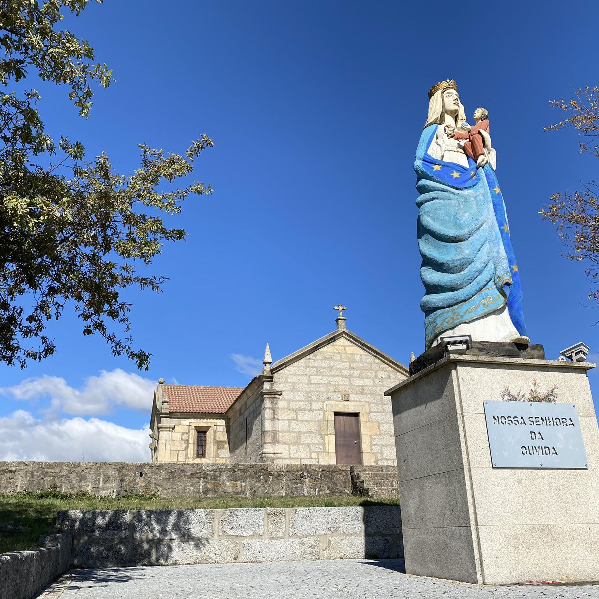
The region offers a mix of natural beauty and historical points of interest. You might encounter traditional stone houses and farming traditions within the villages. While not directly on every route, notable attractions in the broader area include the Baloiço de Pendilhe, a hilltop swing with panoramic views, and the ancient Anta de Pendilhe, a 5000-year-old megalithic tomb. You can also explore highlights like Nossa Senhora da Oliveira or the Ermida do Paiva.
Are the running trails around Pendilhe suitable for families?
The tranquil environment and natural paths can be enjoyable for families. While some routes are more challenging, moderate loops offer a good balance for active families. It's always recommended to check the specific route details for distance and elevation to ensure it matches your family's fitness level.
Is it possible to bring my dog on the jogging routes in Pendilhe?
The natural paths and rural setting of Pendilhe generally make it a welcoming area for dogs. However, it's always best to check local regulations and ensure your dog is well-behaved and kept on a leash, especially when passing through villages or near livestock.
Where can I park my car when accessing the running routes?
As Pendilhe is a rural village, parking is typically available within or near the village center. For specific trailheads, you may find designated parking areas or suitable roadside spots. It's advisable to check the starting points of individual routes for the most convenient parking options.
What is the best time of year to go jogging in Pendilhe?
The region's climate makes spring and autumn particularly pleasant for outdoor activities, with milder temperatures. Summer can be warm, so early morning or late afternoon runs are often preferred. Winter offers a different charm, but trails might be wetter, so appropriate gear is recommended.
Are there any cafes or facilities near the running routes in Pendilhe?
Pendilhe is a small, traditional village. While you might not find extensive facilities directly on every trail, the village itself offers a glimpse into local life and may have small cafes or shops where you can refresh yourself before or after your run.
What is the longest running route available in the area?
For experienced runners seeking a significant challenge, the GR 64 - Monks' Path is a difficult route spanning 26.3 miles (42.4 km). This trail traverses varied terrain and offers a substantial workout.
How many running routes are documented for Pendilhe on komoot?
Komoot currently features a selection of running routes around Pendilhe, with over 2 distinct tours available for exploration. These range from moderate loops to more challenging long-distance trails.
What is the elevation gain like on the running trails?
The mountainous terrain means you can expect varied elevation changes. For instance, the challenging GR 64 - Monks' Path involves an elevation gain of over 640 meters, while moderate routes like the Orca da Corga dos Moços – Orca Vale dos Carris loop have more modest climbs of around 185 meters.
Most popular routes around Pendilhe
Most popular attractions around Pendilhe

Get inspired with the komoot mobile app


Explore more
Browse the best Running Trails & Routes in other regions.
