The best mountain hikes around Baligród
5.0
(3)
42
hikers
6
hikes
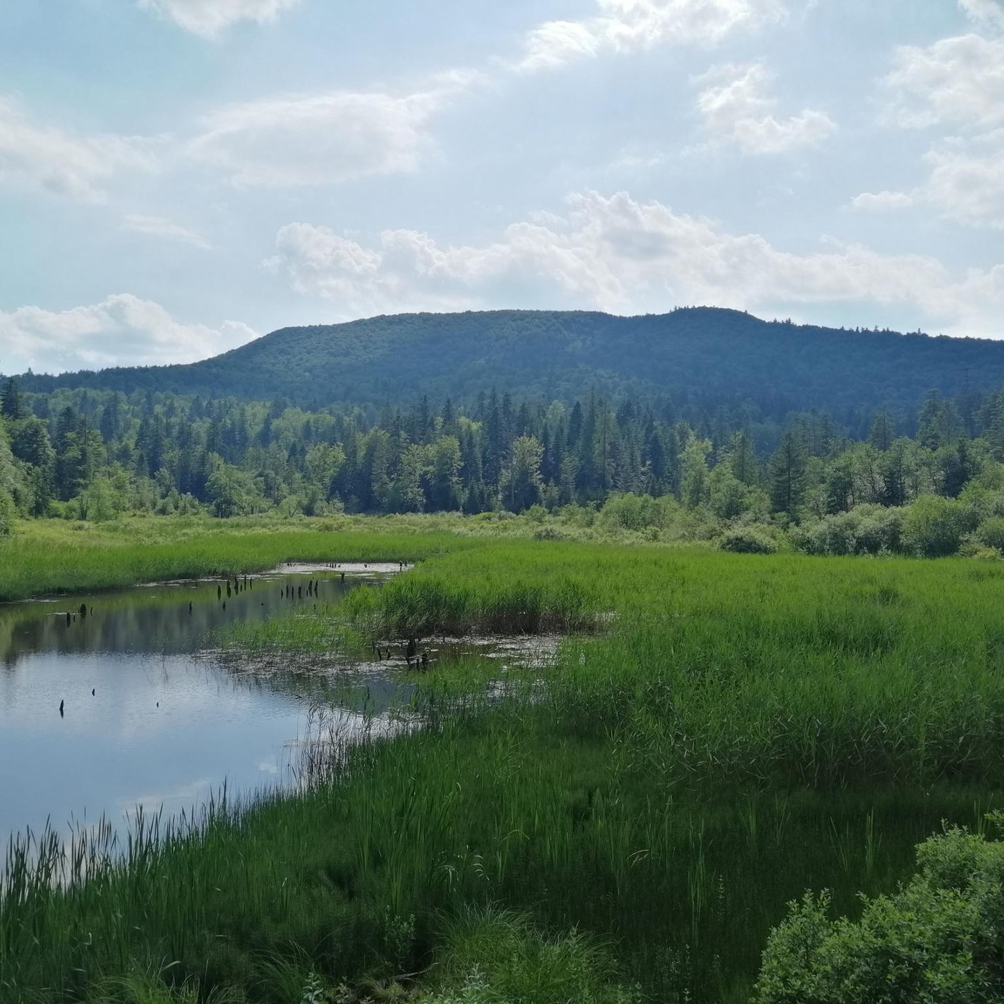
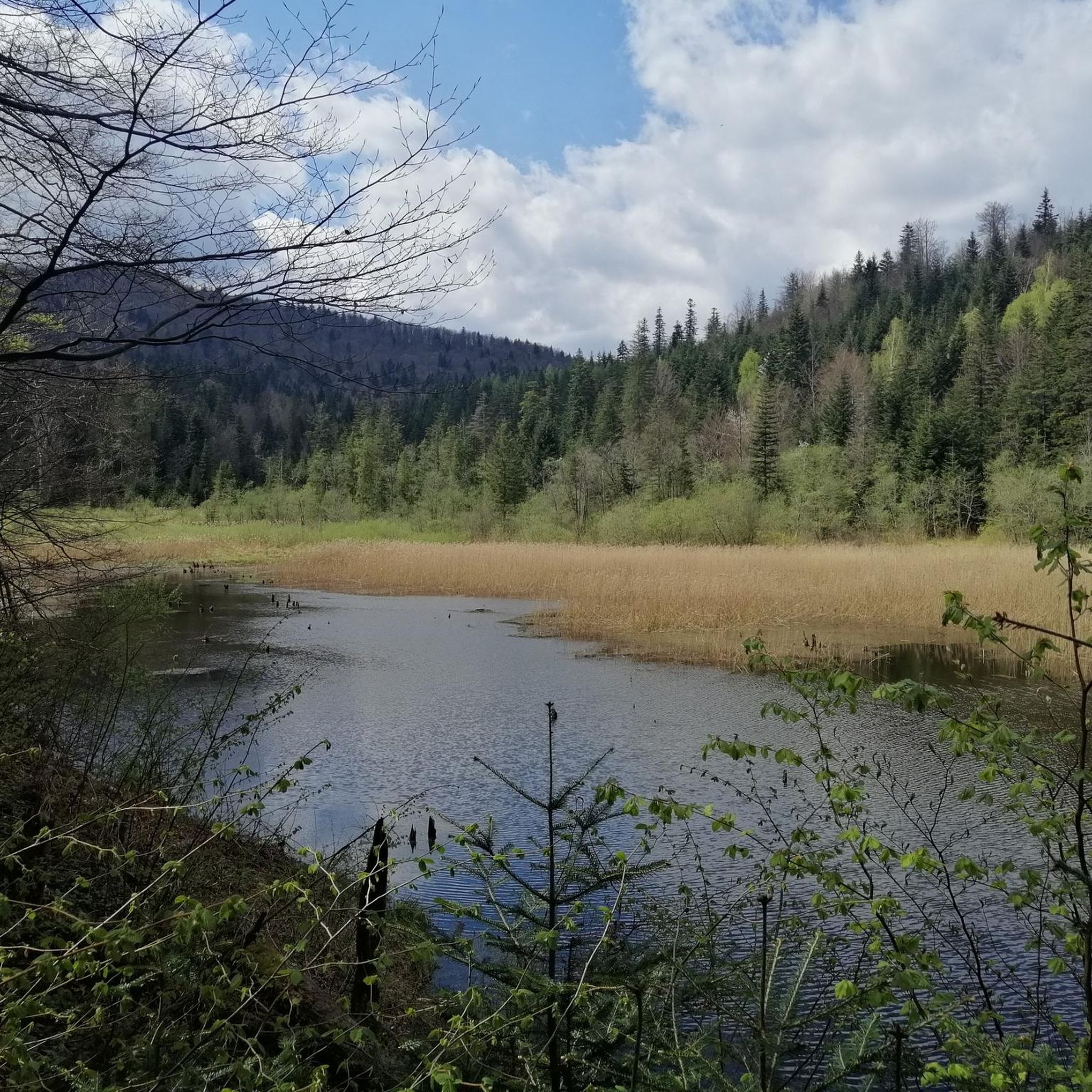
Mountaineering routes around Baligród are situated within the Bieszczady Mountains, a region characterized by rugged terrain and extensive ancient forests in the Podkarpackie region of Poland. The area features prominent natural elements such as the Wetlina Valley and the Hoczewka River Valley, providing diverse landscapes for exploration. This environment offers a mix of challenging ascents and scenic paths through dense woodlands.
Best mountaineering routes around Baligród
- The most popular mountaineering route is Mountaineering loop from Przysłup, a 4.5 miles…
Last updated: October 28, 2026
5.0
(1)
13
hikers
7.39km
02:41
460m
460m
Moderate mountaineering route. Good fitness required. Easily walkable paths.
5.0
(1)
15
hikers
7.82km
02:17
220m
220m
Moderate mountaineering route. Good fitness required. Easily walkable paths.

4
hikers
22.1km
06:43
670m
670m
Hard mountaineering route. Very good fitness required. Easily walkable paths.
5.0
(1)
6
hikers
12.4km
04:07
520m
520m
Moderate mountaineering route. Good fitness required. Easily walkable paths.
2
hikers
8.21km
02:51
430m
430m
Moderate mountaineering route. Good fitness required. Easily walkable paths.
Our route recommendations are based on thousands of hikes, rides, and runs completed by other people on komoot.
Start today with a free account
Your next adventure awaits.
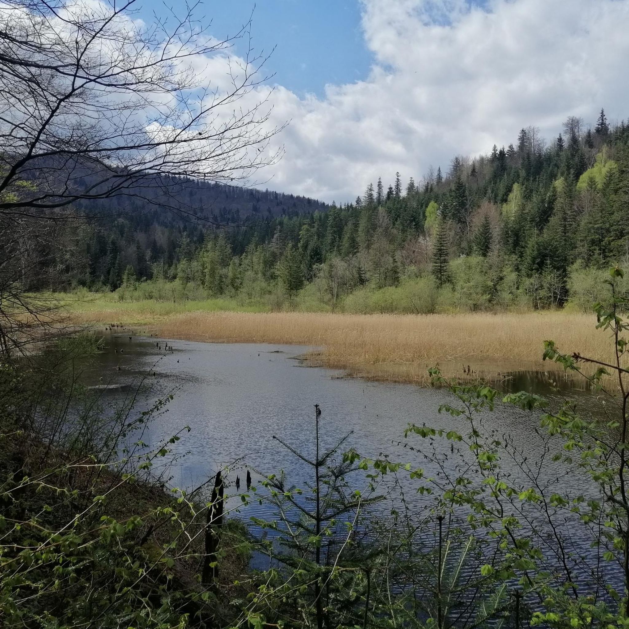
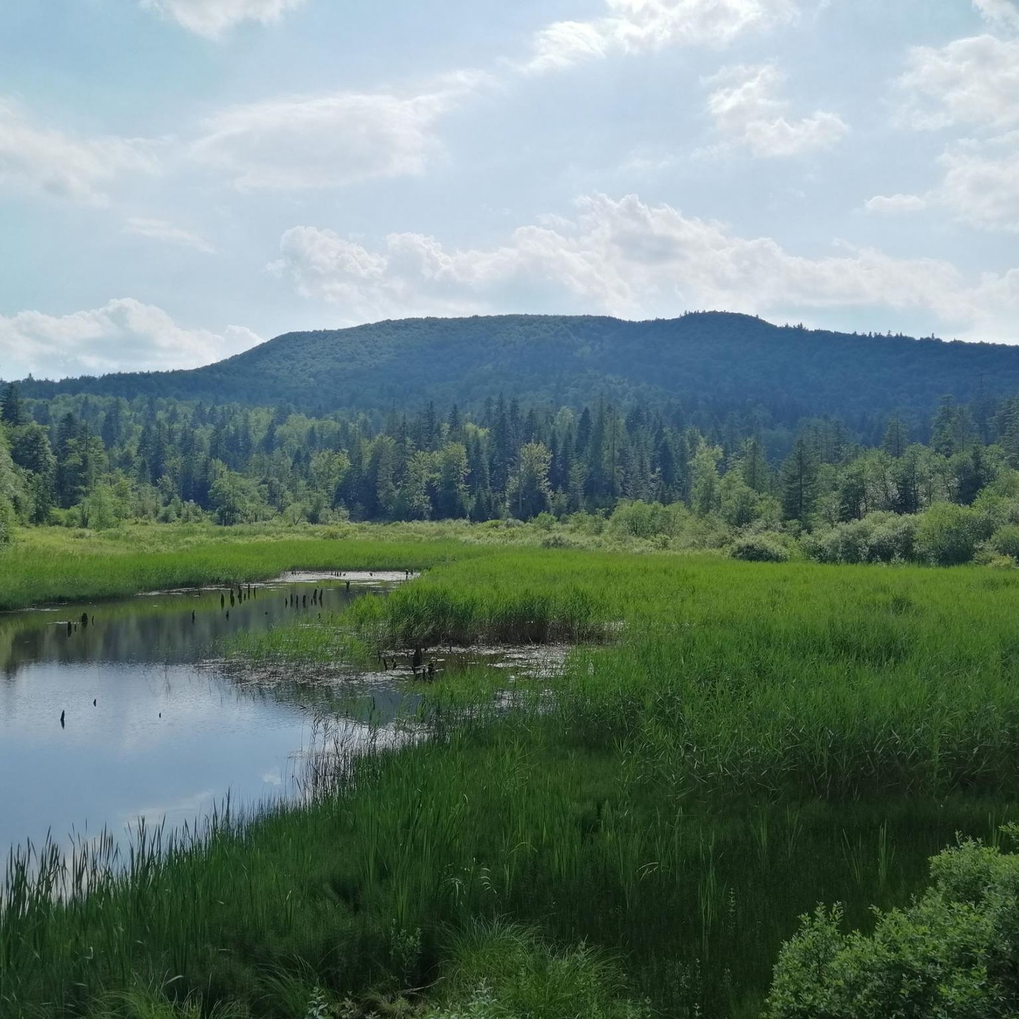
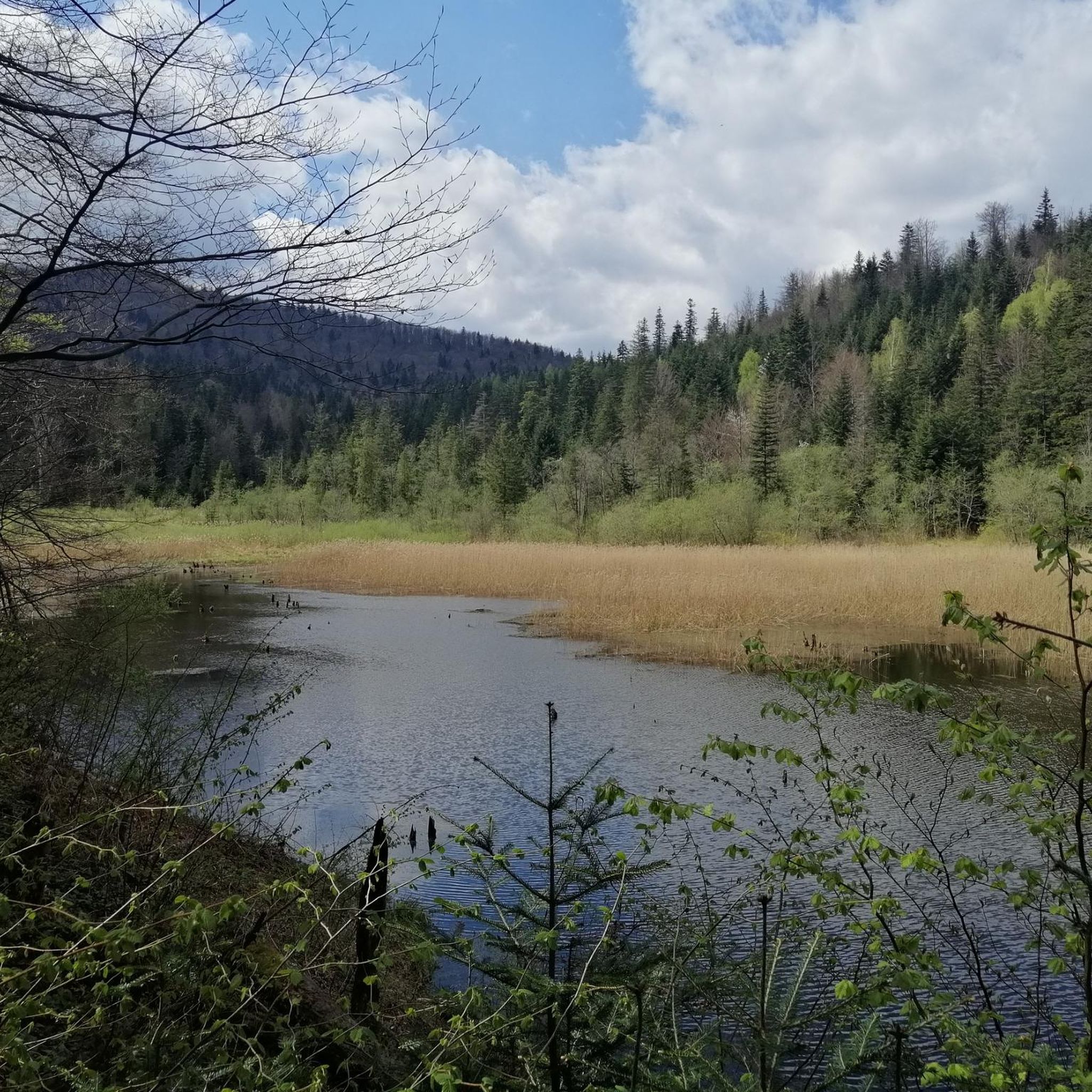
Tips from the Community

More information and photos: https://pl.wikipedia.org/wiki/Prze%C5%82%C4%99cz_nad_Roztokami_G%C3%B3rnymi https://mapa-turystyczna.pl/node/przelecz-nad-roztokami#49.14426/22.33040/14 https://goryaktywnie.pl/przelecz-nad-roztokami https://odtur.pl/atrakcje/cisna-przelecz-nad-roztokami-gornymi-55250.html
2
0
More information and photos: https://pl.wikipedia.org/wiki/Szczawnik_(1098_m) https://podroze.onet.pl/ciekawe/bieszczady-szczawnik-szczyt-informacje-i-szlaki/mgmkq02 https://mapa-turystyczna.pl/trail/16614#49.16088/22.39984/14
2
0
More information and photos: https://pl.wikipedia.org/wiki/Okr%C4%85glik_(Bieszczady) https://mapa-turystyczna.pl/node/okraglik#49.14685/22.36628/14 https://www.nawycieczke.pl/pl/atrakcja/okraglik-1101-m-n-p-m https://poznajgory.pl/attractions/okraglik/ https://www.twojebieszczady.net/piesze/n_plasza.php https://gdziebytudalej.pl/fereczata-okraglik-plasza-paportna/ https://www.planetagor.pl/articles/entry/Wst-p-do-po-onin-Jas-o-Okr-glik-Fereczata https://podroze.onet.pl/ciekawe/okraglik/smcbel8
2
0
More information and photos: https://pl.wikipedia.org/wiki/Jas%C5%82o_(g%C3%B3ra) https://mapa-turystyczna.pl/node/jaslo#49.15796/22.36078/14 https://trasygorskie.pl/jaslo-jaslo/ https://www.twojebieszczady.net/jaslo.php https://gdziebytudalej.pl/na-widokowe-jaslo-i-graniczny-stryb/ https://www.twojebieszczady.net/piesze/przyslup_jaslo.php https://magazynnaszczycie.pl/artykul/skiturowa-klasyka-bieszczadow-n1510246 https://www.twojebieszczady.net/jaslo2.php https://poznajgory.pl/attractions/jaslo/
2
0

A mountain at an altitude of 1,153 meters above sea level in Lesko County. It's called Wielki Jasło (Great Jasło) to distinguish it from the nearby Mały Jasło. The mountain is cleared here and uncrowded, offering a beautiful panorama in every direction.
1
0
Ah, those Bieszczady peaks—why go to paradise when you're already there? Okrąglik, at 1,106 meters above sea level, is in the Western Bieszczady Mountains on the Polish-Slovak border. The views are spectacular—especially towards Slovakia.
1
0

One of my favorite places and with few tourists
0
0
Frequently Asked Questions
What kind of terrain can I expect on mountaineering routes around Baligród?
The mountaineering routes around Baligród are primarily situated within the Bieszczady Mountains, offering a mix of rugged terrain, extensive ancient forests, and picturesque river valleys like the Wetlina and Hoczewka. You'll encounter challenging ascents and scenic paths through dense woodlands, characteristic of the Podkarpackie region of Poland.
Are there any difficult mountaineering routes for experienced climbers?
Yes, for experienced mountaineers seeking a challenge, the Greater Jaslo – Okrąglik loop from Cisna is a difficult route. It spans approximately 22.1 km (13.7 miles) with significant elevation gain, offering a rewarding experience for those with advanced skills.
Which routes are suitable for a moderate mountaineering experience?
Most of the routes around Baligród are classified as moderate. Popular options include the Mountaineering loop from Przysłup, which is about 7.3 km (4.5 miles) long, and the Rezerwat Zwiezło loop from Przełom Osławy pod Duszatynem, a 8.3 km (5.2 miles) path that traverses natural reserve areas and river valleys.
Are there any shorter, moderate routes for a quicker outing?
For a shorter, moderate mountaineering experience, consider the Kopaczówka – Korbania loop from Korbania. This trail is approximately 4.5 km (2.8 miles) and leads through forested hills, typically completed in under two hours.
What natural features or landmarks can I see along the mountaineering routes?
The region is rich in natural beauty. You can explore peaks like Łopiennik Peak (1,069 m) and Hyrlata, or visit the Korbani Observation Tower for panoramic views. The routes also pass by significant water bodies such as the Dushatinskie Lakes and the impressive Solina Dam.
Are there any circular mountaineering routes available?
Yes, many routes around Baligród are designed as loops. Examples include the popular Mountaineering loop from Przysłup, the Rezerwat Zwiezło loop from Przełom Osławy pod Duszatynem, and the Mountaineering loop from Cisna, which is a longer moderate option.
What do other mountaineers say about the routes in Baligród?
The mountaineering routes in Baligród are highly regarded by the komoot community, holding an average rating of 5.0 stars from 4 reviews. Over 40 mountaineers have used komoot to explore the varied terrain, often praising the unspoiled wilderness and diverse landscapes of the Bieszczady Mountains.
Is Baligród a good base for exploring the wider Bieszczady Mountains?
Absolutely. Baligród's prime location within the Bieszczady Mountains makes it an excellent base for exploring the rugged beauty of the Polish Bieszczady, as well as bordering areas in Ukraine and Slovakia. The town is a hub for numerous trails catering to various difficulty levels.
What is the best time of year for mountaineering in Baligród?
The Bieszczady Mountains offer distinct experiences throughout the year. While specific recommendations depend on your preference, late spring to early autumn generally provides the most favorable weather for hiking. Winter offers opportunities for winter sports, but requires appropriate gear and experience due to snow and colder conditions.
Are there any family-friendly activities or trails near Baligród?
While many mountaineering routes are moderate, the region offers broader outdoor activities suitable for families. The Baligród Forest District maintains trails, shelters, and campfire sites. You can also visit the Muczne European Bison Show Farm or explore educational trails that provide insights into local flora and fauna.
Are dogs allowed on the mountaineering trails?
Many trails in the Bieszczady Mountains are dog-friendly, but it's always advisable to check specific park regulations, especially within protected areas like the Cisnańsko-Wetliński Landscape Park. Generally, dogs should be kept on a leash to protect wildlife and ensure the safety of other hikers.
What are some other outdoor activities available in the Baligród area besides mountaineering?
Beyond mountaineering, Baligród and its surroundings offer a diverse range of outdoor pursuits. You can enjoy cycling and gravel biking on numerous scenic routes, quad biking on special off-road trails, or skiing at Bystre during winter. Wildlife observation, particularly at the Muczne European Bison Show Farm, is also a popular activity.
Are there any specific viewpoints or observation towers worth visiting?
Yes, for breathtaking vistas, you can visit the Korbani Observation Tower. Additionally, the region boasts other notable viewpoints, such as the View of Lake Myczkowskie and the Heart on Suchy Berd Hill, offering stunning panoramic views of the landscape.
Most popular routes around Baligród
Most popular attractions around Baligród

Get inspired with the komoot mobile app


Explore more
Browse the best Mountain Hikes & Routes in other regions.
