The best running trails around Baligród
4.6
(15)
1,985
runners
121
runs
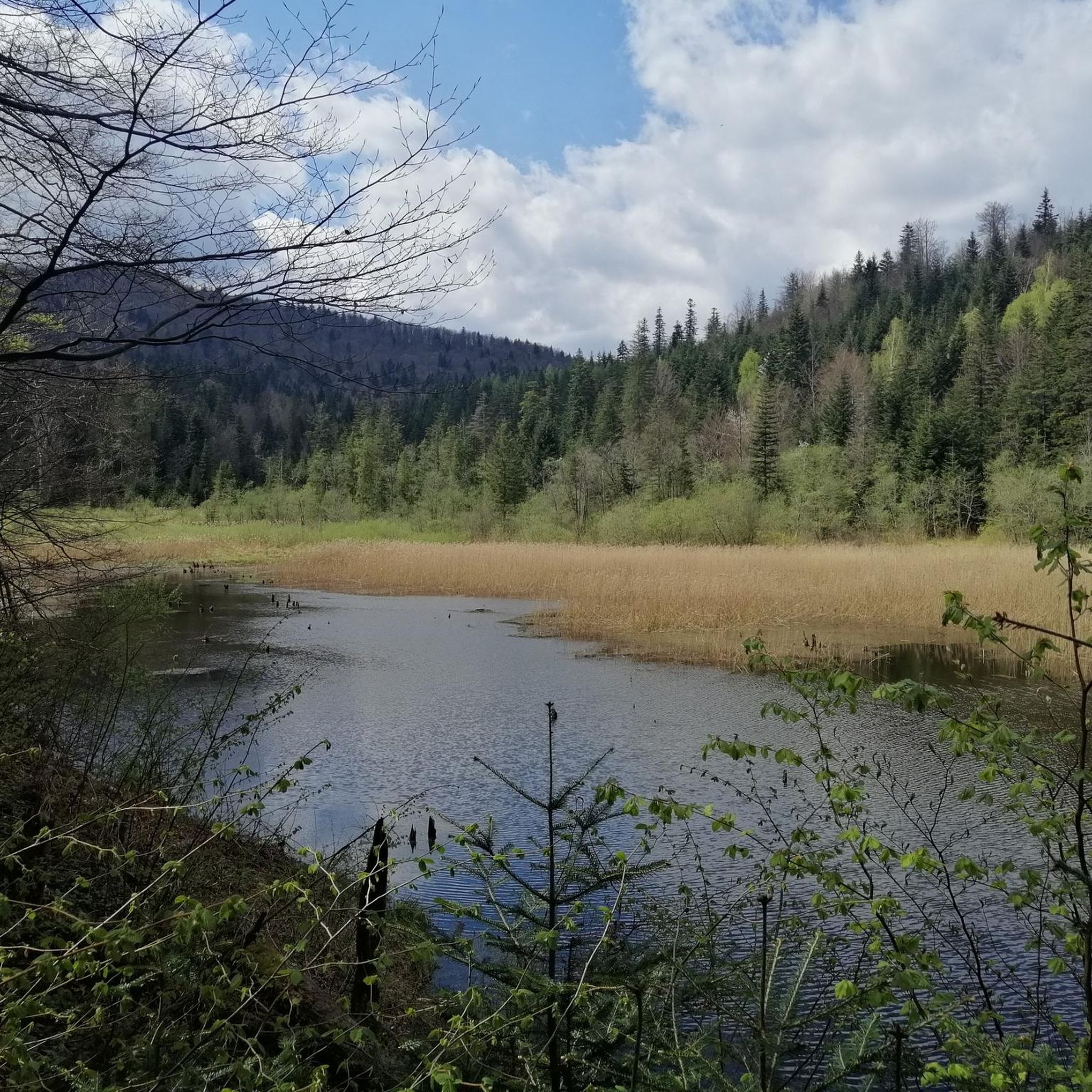
Jogging around Baligród offers access to a diverse landscape within Poland's Podkarpackie region, characterized by extensive forested areas and the foothills of the Bieszczady Mountains. The region features varied terrain, from the serene Wetlina Valley and Hoczewka River valley to more challenging routes within the Ciśniańsko-Wetliński Landscape Park. This environment provides numerous running routes suitable for different fitness levels, often amidst fresh mountain air.
Best jogging routes around Baligród
- The most popular jogging route is Loop over Jeziorko Bobrowe: Ciśniańsko-Wetliński…
Last updated: October 24, 2026
3
runners
11.5km
01:19
280m
280m
Moderate run. Good fitness required. Mostly paved surfaces.
3
runners
16.4km
02:20
670m
670m
Hard run. Very good fitness required. Mostly runnable paths. Some sure-footedness required.

124
runners
37.3km
05:14
1,510m
1,510m
Hard run. Very good fitness required. Mostly paved surfaces.
15
runners
18.7km
02:43
760m
760m
Hard run. Very good fitness required. Mostly paved surfaces.
15
runners
12.5km
01:42
480m
480m
Hard run. Very good fitness required. Mostly paved surfaces.
Get access to more routes and recommendations from other explorers.
Already have an account?
Our route recommendations are based on thousands of hikes, rides, and runs completed by other people on komoot.
Start today with a free account
Your next adventure awaits.
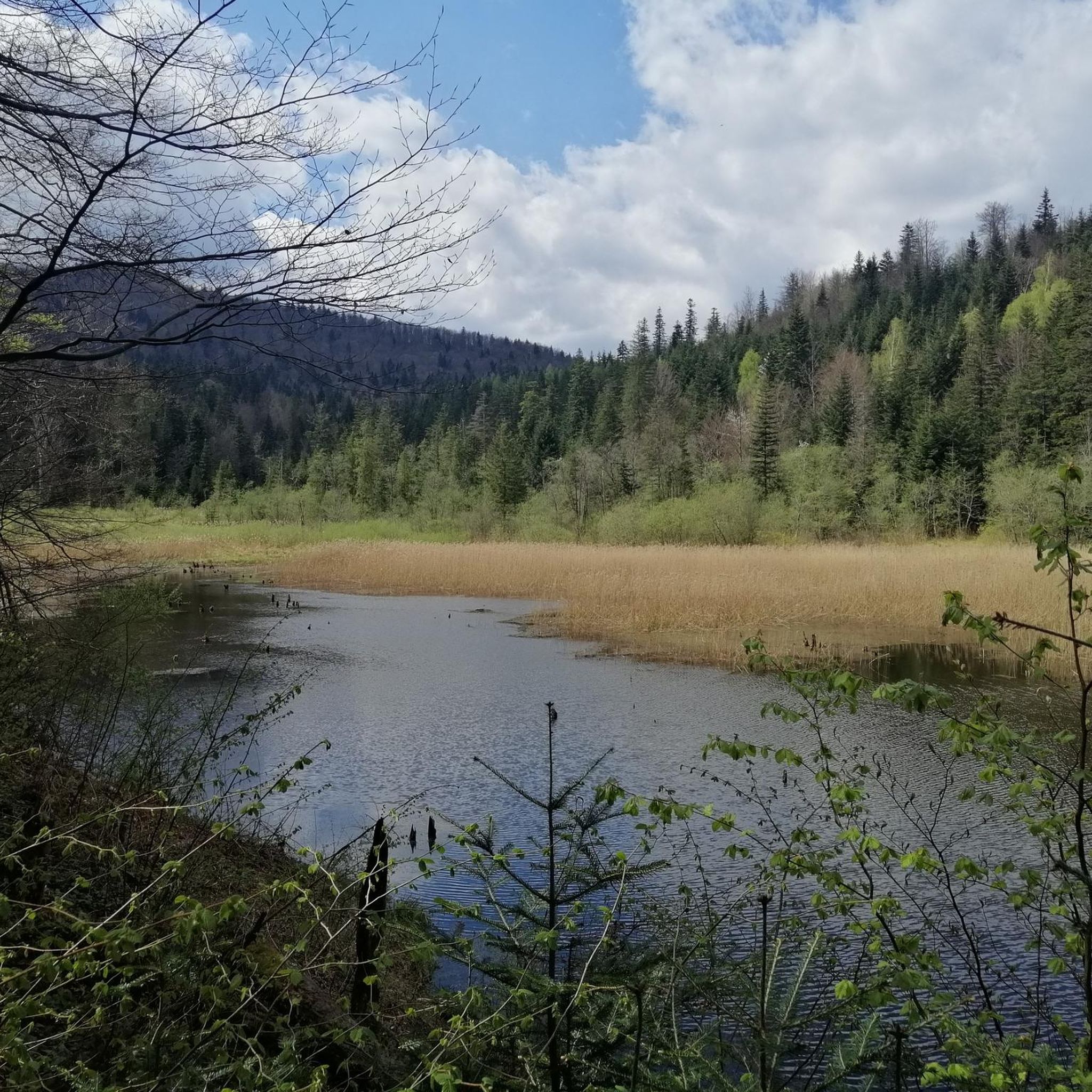
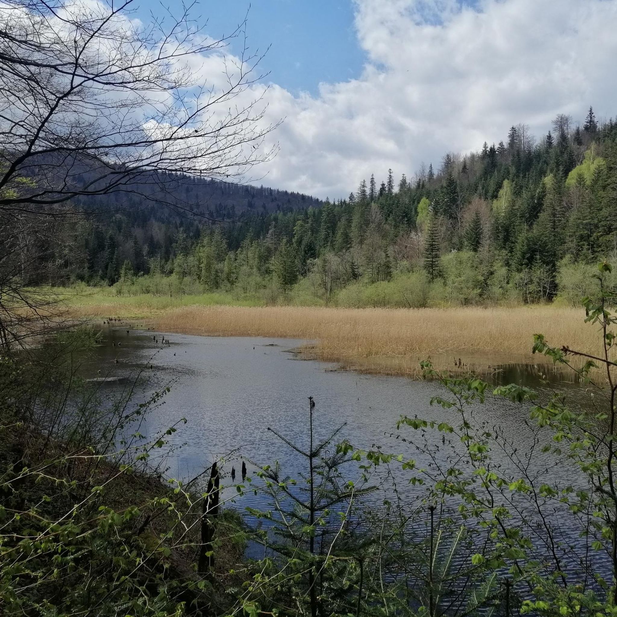
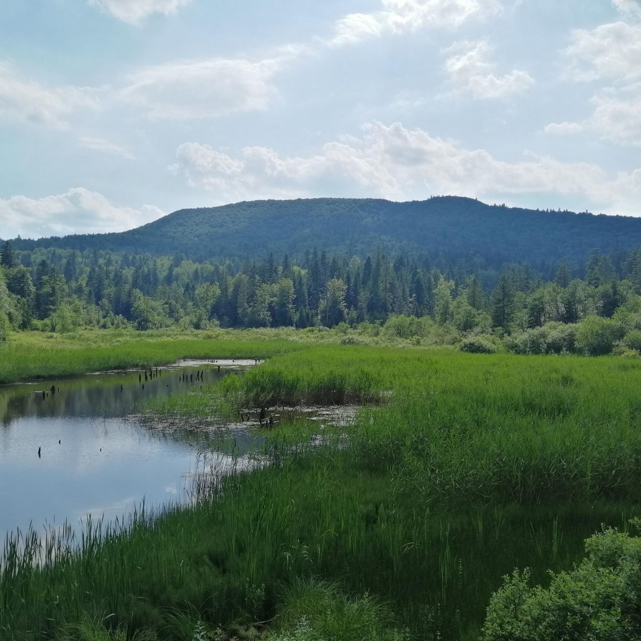

Tips from the Community

More information and photos: https://pttk.pl/accommodations/bacowka-pod-honem/ https://mapa-turystyczna.pl/node/bacowka-pttk-pod-honem#49.21434/22.31358/14 https://pl.wikipedia.org/wiki/Bac%C3%B3wka_PTTK_%E2%80%9EPod_Honem%E2%80%9D https://panoramakoscielisko.pl/bacowka-pod-honem-w-cisnej-planujesz-bieszczady-wszystko-co-musisz-wiedziec https://www.schroniskaturystyczne.pl/bacowka-pttk-pod-honem/
2
0
More information and photos: https://pl.wikipedia.org/wiki/Prze%C5%82%C4%99cz_nad_Roztokami_G%C3%B3rnymi https://mapa-turystyczna.pl/node/przelecz-nad-roztokami#49.14426/22.33040/14 https://goryaktywnie.pl/przelecz-nad-roztokami https://odtur.pl/atrakcje/cisna-przelecz-nad-roztokami-gornymi-55250.html
2
0
More information and photos: https://pl.wikipedia.org/wiki/Szczawnik_(1098_m) https://podroze.onet.pl/ciekawe/bieszczady-szczawnik-szczyt-informacje-i-szlaki/mgmkq02 https://mapa-turystyczna.pl/trail/16614#49.16088/22.39984/14
2
0
More information and photos: https://pl.wikipedia.org/wiki/Okr%C4%85glik_(Bieszczady) https://mapa-turystyczna.pl/node/okraglik#49.14685/22.36628/14 https://www.nawycieczke.pl/pl/atrakcja/okraglik-1101-m-n-p-m https://poznajgory.pl/attractions/okraglik/ https://www.twojebieszczady.net/piesze/n_plasza.php https://gdziebytudalej.pl/fereczata-okraglik-plasza-paportna/ https://www.planetagor.pl/articles/entry/Wst-p-do-po-onin-Jas-o-Okr-glik-Fereczata https://podroze.onet.pl/ciekawe/okraglik/smcbel8
2
0
More information: https://andrzej-banach.eu/w-gorach/bieszczadzkie-poloniny/hyrlata/ https://www.twojebieszczady.net/piesze/hyrlata.php
2
0
More information and photos: https://pl.wikipedia.org/wiki/Jas%C5%82o_(g%C3%B3ra) https://mapa-turystyczna.pl/node/jaslo#49.15796/22.36078/14 https://trasygorskie.pl/jaslo-jaslo/ https://www.twojebieszczady.net/jaslo.php https://gdziebytudalej.pl/na-widokowe-jaslo-i-graniczny-stryb/ https://www.twojebieszczady.net/piesze/przyslup_jaslo.php https://magazynnaszczycie.pl/artykul/skiturowa-klasyka-bieszczadow-n1510246 https://www.twojebieszczady.net/jaslo2.php https://poznajgory.pl/attractions/jaslo/
2
0

A mountain at an altitude of 1,153 meters above sea level in Lesko County. It's called Wielki Jasło (Great Jasło) to distinguish it from the nearby Mały Jasło. The mountain is cleared here and uncrowded, offering a beautiful panorama in every direction.
1
0
Ah, those Bieszczady peaks—why go to paradise when you're already there? Okrąglik, at 1,106 meters above sea level, is in the Western Bieszczady Mountains on the Polish-Slovak border. The views are spectacular—especially towards Slovakia.
1
0
Frequently Asked Questions
How many running routes are available around Baligród?
Baligród offers a wide selection of running trails, with over 100 routes documented on komoot. These routes cater to various preferences, from gentle jogs through valleys to challenging mountain runs in the Bieszczady Mountains.
What kind of terrain can I expect on jogging trails near Baligród?
The terrain around Baligród is highly diverse. You'll find routes through extensive forested areas, along the serene Wetlina Valley and Hoczewka River valley, and into the foothills of the Bieszczady Mountains. This includes well-marked forest trails and more demanding paths within the Ciśniańsko-Wetliński Landscape Park.
Are there any family-friendly jogging routes in the Baligród area?
Yes, the region offers routes suitable for families. While specific 'easy' routes are fewer, many of the moderate trails, especially those through the Baligród Forest District or along river valleys, can be enjoyed by families looking for a less strenuous run. These often feature relatively flat sections and scenic surroundings.
Can I find circular running routes around Baligród?
Absolutely. Many of the trails around Baligród are designed as loops, allowing you to start and finish in the same location. For example, the Loop over Jeziorko Bobrowe is a popular moderate circular route within the Ciśniańsko-Wetliński Landscape Park.
What are some scenic viewpoints or natural attractions I can see while running?
The Baligród area is rich in natural beauty. You might encounter stunning vistas in the Bieszczady Mountains, especially on routes ascending peaks like Łopiennik. Other notable attractions include the captivating Kamień Leski geological formations, the tranquil Sine Wiry Nature Reserve, and various viewpoints offering panoramic views of the landscape, such as Jeleni Skok Viewpoint.
Are there challenging running trails for experienced runners?
Definitely. For experienced runners seeking a challenge, the Bieszczady Mountains provide demanding routes with significant elevation changes. An example is the Jabłonki - Berdo - Łopiennik Loop, a difficult 10.2-mile path that includes a challenging ascent towards Łopiennik Peak, offering expansive views.
What do other runners say about the trails in Baligród?
The running trails in Baligród are highly regarded by the komoot community, holding an impressive average rating of 5.0 stars from numerous reviews. Runners often praise the fresh mountain air, the immersive natural experience, and the variety of routes available, from serene forest paths to challenging mountain ascents.
Are there any running routes that pass by lakes or rivers?
Yes, the region's geography includes several water features. Baligród itself lies in the Hoczewka River valley, offering potential routes alongside the river. Additionally, some trails may lead near or offer views of larger bodies of water like Lake Solina, known as the 'Bieszczady Sea', or the picturesque Dushatinskie Lakes.
What is the best time of year for running in Baligród?
The region is beautiful year-round, but spring, summer, and early autumn generally offer the most pleasant conditions for running. During these seasons, you can fully enjoy the lush greenery, vibrant flora, and comfortable temperatures. Winter running is also possible, but trails may be covered in snow, requiring appropriate gear and caution.
Are there any moderate-difficulty running routes for intermediate joggers?
Yes, Baligród has a good selection of moderate routes perfect for intermediate joggers. These trails offer a balance of distance and elevation without being overly strenuous. A great example is the Studencka Chata Huczwice loop from gmina Baligród, which takes you through local forest areas.
What kind of natural parks or protected areas can I run through?
You can enjoy running within the beautiful Ciśniańsko-Wetliński Landscape Park, which is rich in biodiversity and offers peaceful trails amidst nature. The Baligród Forest District also maintains numerous marked forest trails and educational paths that are excellent for running.
Most popular routes around Baligród
Most popular attractions around Baligród

Get inspired with the komoot mobile app


Explore more
Browse the best Running Trails & Routes in other regions.
