The best gravel rides around Cantalojas
4.0
(1)
27
riders
8
rides
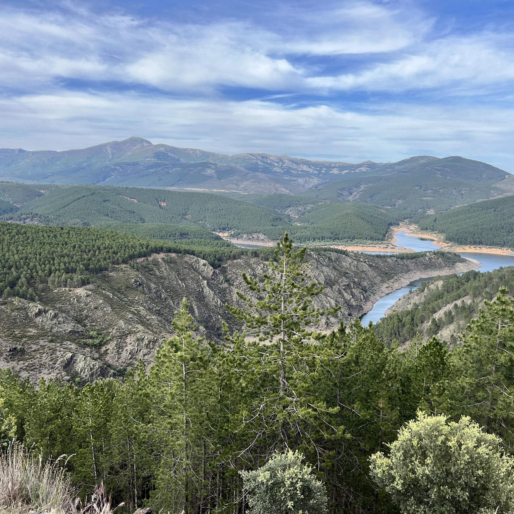
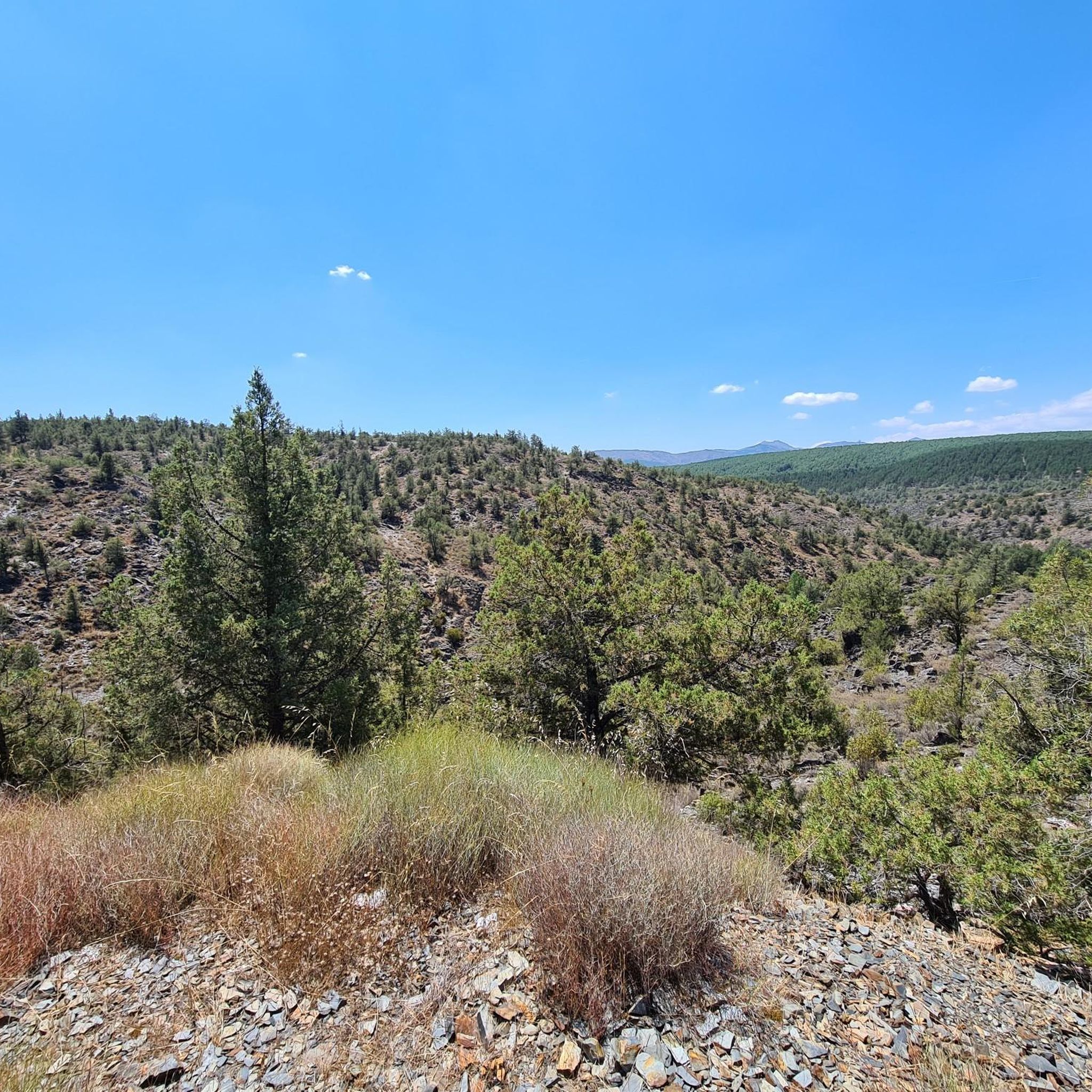
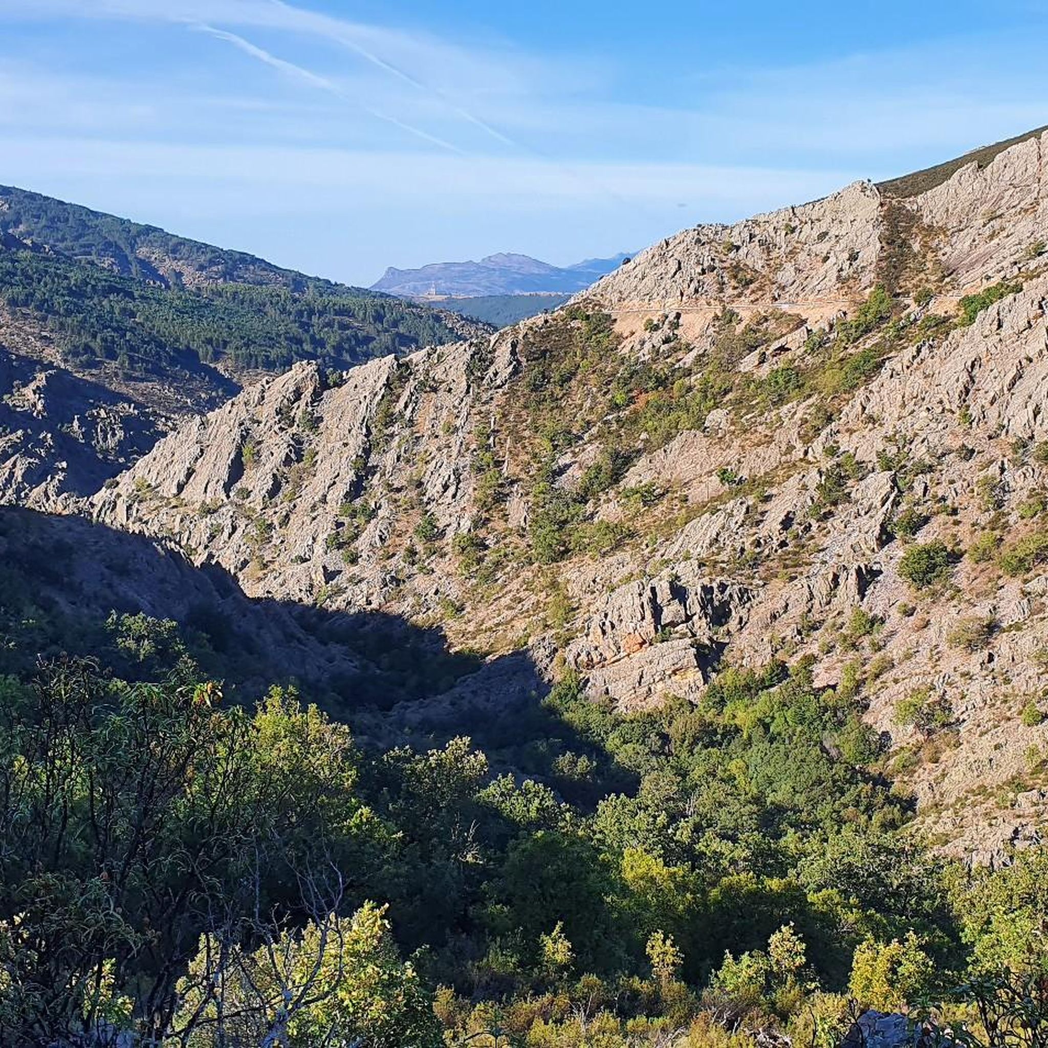
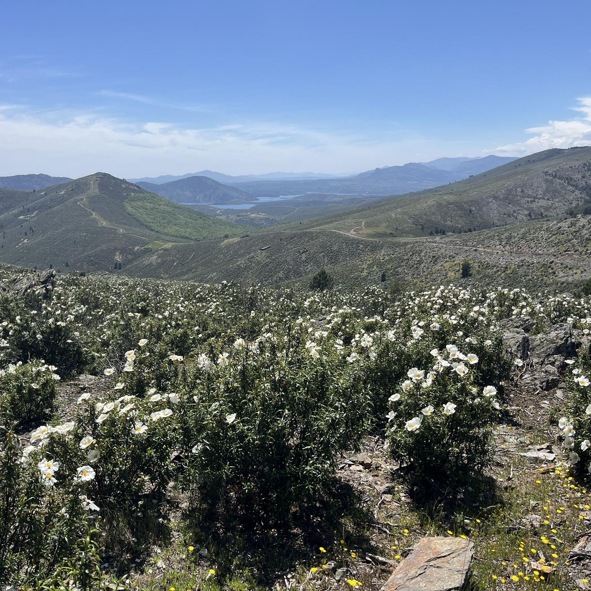
Gravel bike trails around Cantalojas are situated within the Sierra Norte de Guadalajara Natural Park in Spain, offering a diverse landscape for cycling. The region features rugged, mountainous terrain with significant elevation changes, characterized by serrano landscapes and striking slate rock formations. Cyclists can explore routes through extensive forests, including the ancient Hayedo de Tejera Negra beech forest, and along river valleys. The area provides a network of trails with varied surfaces, suitable for challenging gravel biking.
Best gravel bike…
Last updated: September 26, 2026
2
riders
41.4km
04:16
1,200m
1,200m
Hard gravel ride. Very good fitness required. Mostly paved surfaces. Suitable for all skill levels.
7
riders
98.9km
07:40
2,280m
2,280m
Hard gravel ride. Very good fitness required. Mostly paved surfaces. Suitable for all skill levels.

4.0
(1)
3
riders
26.1km
02:06
470m
470m
Hard gravel ride. Very good fitness required. Mostly paved surfaces. Suitable for all skill levels.
2
riders
71.9km
05:14
720m
720m
Hard gravel ride. Very good fitness required. Mostly paved surfaces. Suitable for all skill levels.
2
riders
26.7km
02:12
550m
550m
Hard gravel ride. Very good fitness required. Mostly paved surfaces. Suitable for all skill levels.
Get access to more routes and recommendations from other explorers.
Already have an account?
Our route recommendations are based on thousands of hikes, rides, and runs completed by other people on komoot.
Start today with a free account
Your next adventure awaits.
Tips from the Community

You can also drive through the old city gate.
0
0

A lovely place to spend a good rest
0
2
A beautiful and pleasant Castilian-style square.
0
2

Due to fire the park was closed (Sep 25)
3
0

Steady climb until reaching the Hayedo viewpoint
1
0
Ingang Park Sierda Norta de Guadalajara, Parc Natural
14
0
There is also an information centre next to the car park, highly recommended.
7
0
One of the beautiful "black villages" of Spain.
6
0
Frequently Asked Questions
What kind of terrain can I expect on gravel bike trails around Cantalojas?
The gravel bike trails in the Cantalojas area are characterized by rugged, mountainous terrain within the Sierra de Ayllón. You'll encounter significant elevation changes, serrano landscapes, and striking slate rock formations. The routes often feature a mix of surfaces, including unpaved sections, through extensive forests and rolling hills, offering a challenging experience.
Are there any beginner-friendly gravel bike routes in Cantalojas?
The gravel bike trails around Cantalojas are generally considered challenging, with all listed routes rated as 'difficult'. They feature substantial elevation gains and varied terrain, making them more suitable for experienced riders with good fitness levels rather than beginners.
What are some notable natural features or landmarks I might see while gravel biking in the region?
The region offers several unique natural features. You can explore routes through the ancient Hayedo de Tejera Negra beech forest, known for its vibrant autumn colors. The trails also traverse the majestic Sierra de Ayllón, offering panoramic views. Additionally, you might encounter picturesque river valleys carved by the Lillas and Zarzas rivers. For specific natural highlights, consider visiting Pico Ocejón or Pico del Lobo.
Are there any waterfalls accessible near the gravel bike routes?
Yes, the Cantalojas area is home to some beautiful waterfalls. You can find the Despeñalagua Waterfall and the Cañamar Waterfall, which are popular natural attractions in the vicinity. Some routes may pass close enough for a detour to these scenic spots.
What is the best time of year for gravel biking around Cantalojas?
The Hayedo de Tejera Negra beech forest is particularly captivating in autumn with its vibrant colors, making it a popular time for cycling. However, the mountainous terrain can be enjoyed in spring and early summer for lush greenery, or late summer for drier trails. Winters can be challenging due to snow and colder temperatures at higher elevations.
Are there any loop gravel trails available?
Yes, many of the gravel routes around Cantalojas are designed as loops. For example, the challenging Maderuelo – Plaza Mayor de Riaza loop from Riaza covers 44.8 miles (72.2 km), and the extensive Puente del Cerezo – Puerto de la Quesera loop from Riaza is a 61.4-mile (98.9 km) option with significant ascent.
What are the typical distances and durations for gravel bike routes in this area?
The routes vary in length and duration, reflecting their challenging nature. You can find shorter loops like the Hontanares Hermitage – Plaza Mayor de Riaza loop from Riaza, which is 18.5 miles (29.8 km) and typically takes around 2 hours 51 minutes. Longer, more demanding routes can extend up to 61.4 miles (98.9 km) and require over 5 hours to complete.
Are there any cultural or architectural points of interest along the routes?
Yes, Cantalojas and its neighboring villages are part of the charming 'Black Architecture' region. These settlements are known for their traditional buildings constructed from dark slate and quartzite, offering a unique cultural backdrop to your ride. While specific routes may not pass directly through all villages, they are often visible or accessible nearby.
What should I know about parking or public transport access for gravel biking in Cantalojas?
While specific parking details for each trailhead are best checked on individual route pages, Cantalojas is situated within the Sierra Norte de Guadalajara Natural Park. Access is generally by car, and parking is typically available in or near the villages that serve as starting points for routes. Public transport options to this rural area may be limited, so planning ahead is recommended.
Are there any cafes or pubs near the gravel routes for refreshments?
Cantalojas and nearby villages offer some local establishments where you can find refreshments. Given the rural nature of the Sierra Norte de Guadalajara, it's advisable to carry sufficient water and snacks, especially on longer routes, as services may not be frequently available directly along the trails.
What kind of wildlife might I encounter while gravel biking in Cantalojas?
The Sierra Norte de Guadalajara Natural Park is rich in biodiversity. While cycling, you might spot various bird species, and if you're lucky, some of the local mammals. The extensive forests and river valleys provide habitats for a range of wildlife, making for an immersive natural experience.
Is the area suitable for family-friendly gravel biking?
Given that all listed routes are rated as 'difficult' with significant elevation changes, the immediate area around Cantalojas may not be ideal for very young children or families seeking easy, flat rides. However, families with older, experienced teenage riders who are comfortable with challenging terrain might find some routes suitable.
Most popular routes around Cantalojas
Most popular attractions around Cantalojas

Get inspired with the komoot mobile app


Explore more
Browse the best Gravel rides in other regions.
