The best walks and hikes around Cantalojas
4.5
(315)
2,758
hikers
132
hikes
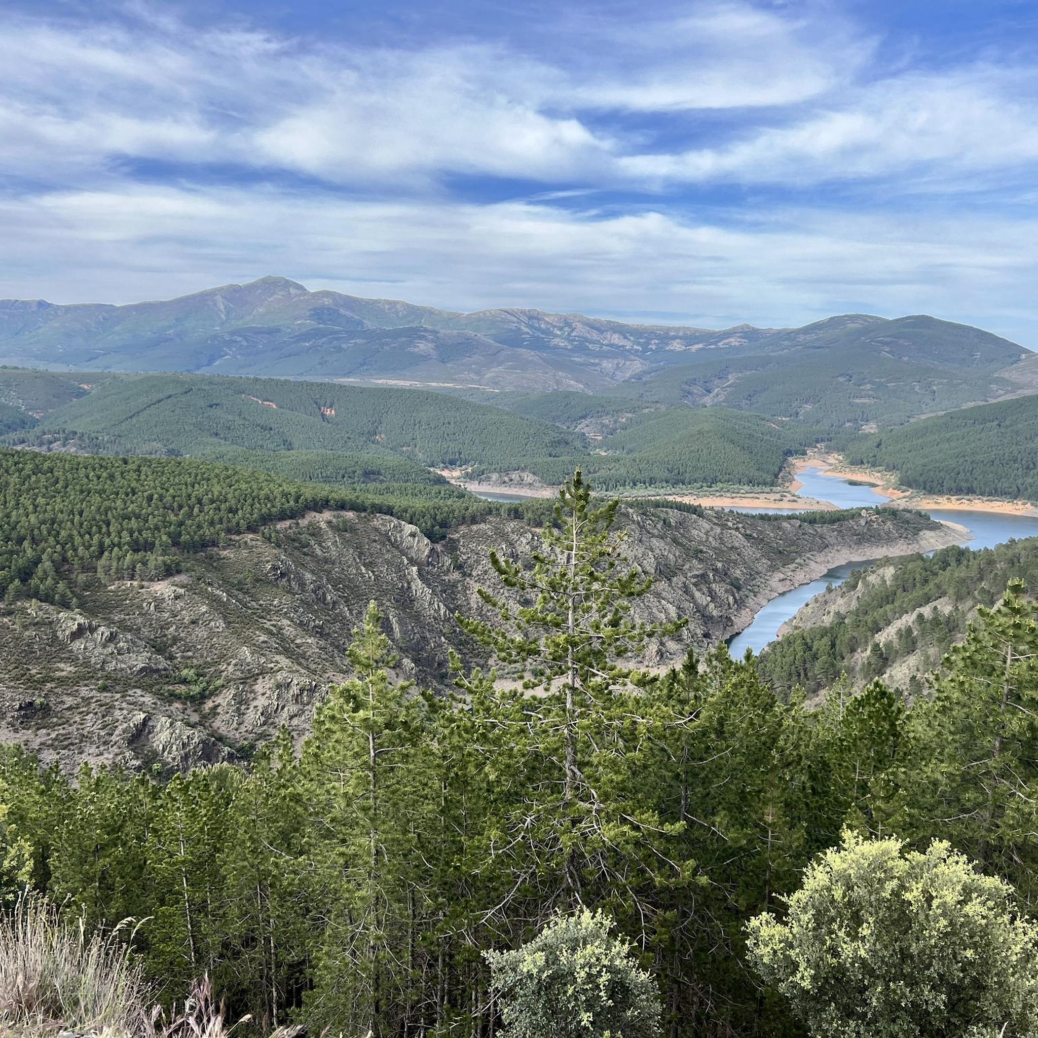
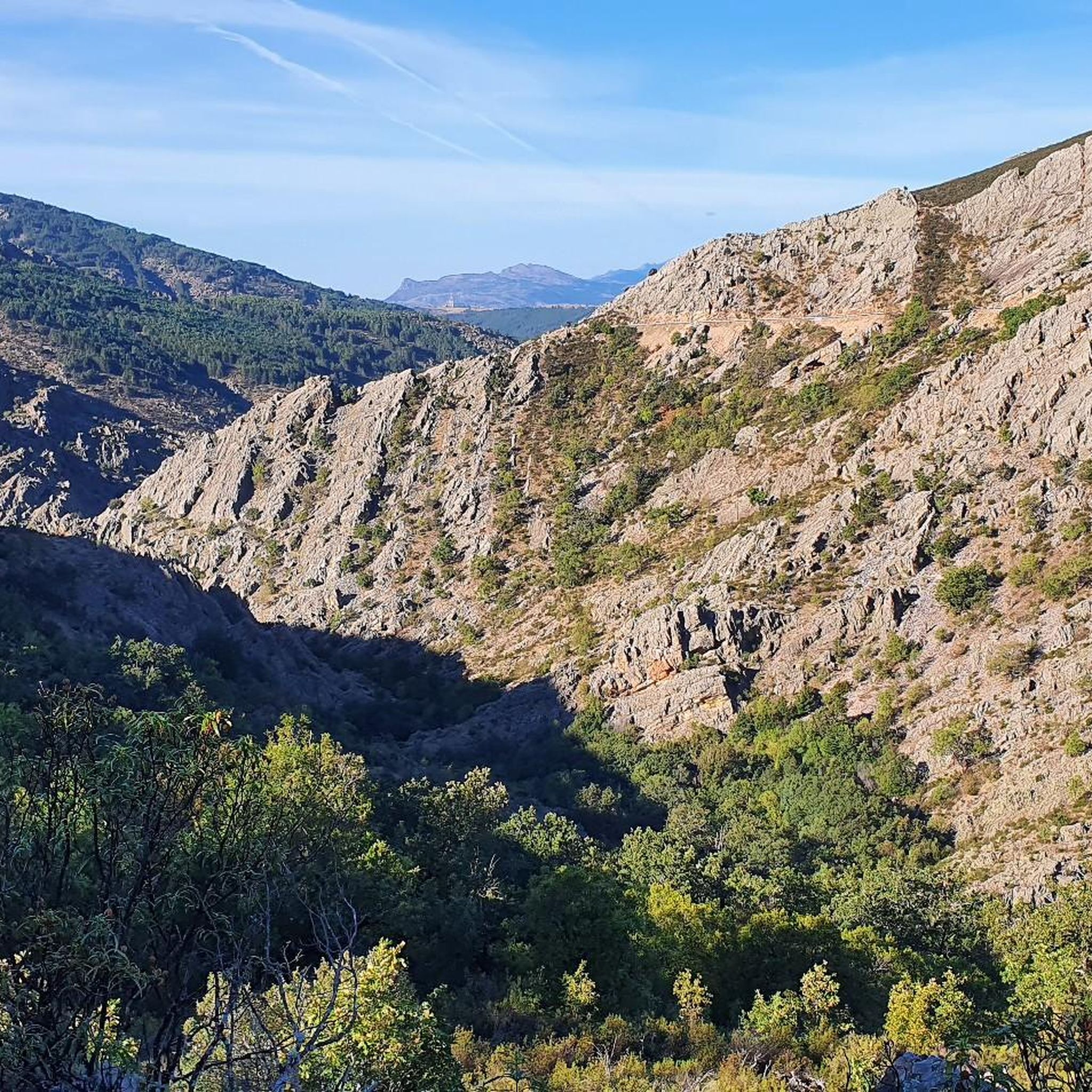
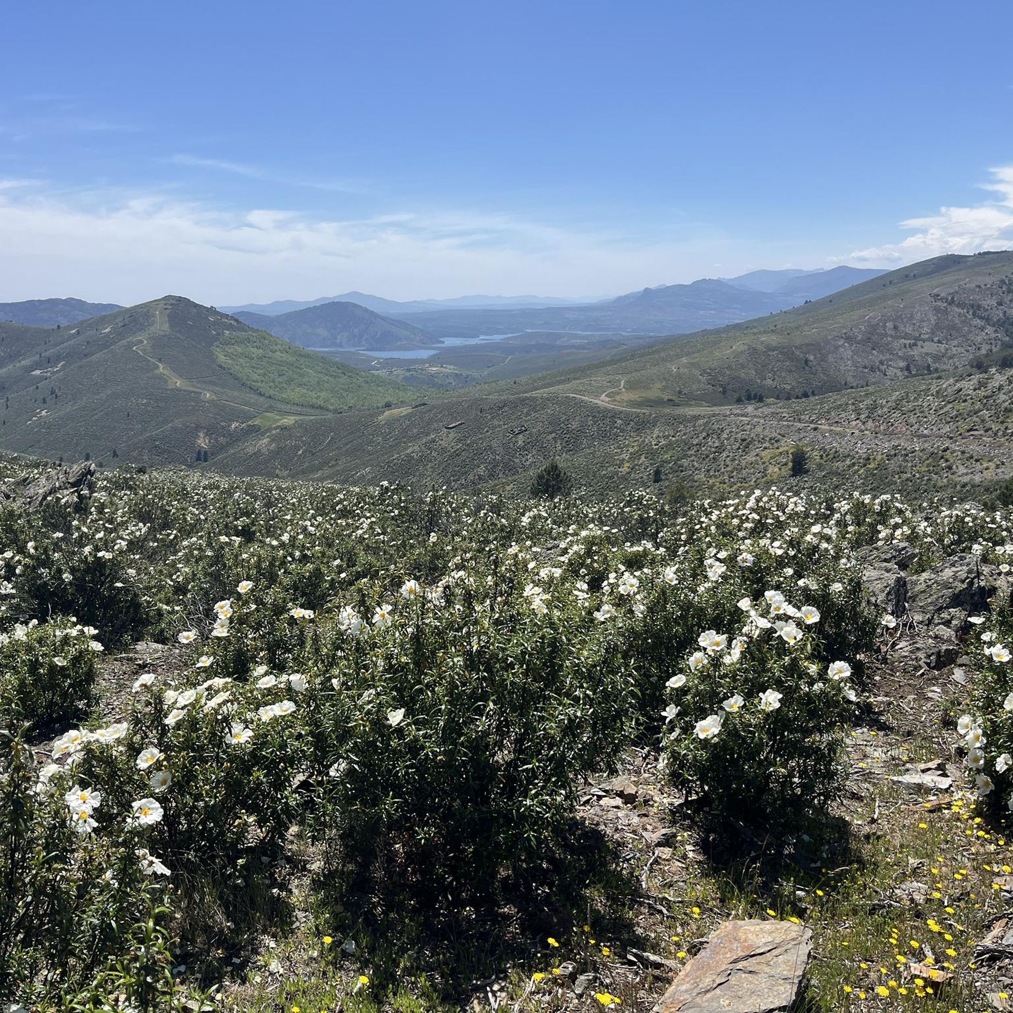
Hiking around Cantalojas offers diverse landscapes within the Sierra de Ayllón, characterized by its mountainous environment and rich flora. The region is home to the Hayedo de Tejera Negra, a UNESCO World Heritage site featuring ancient beech forests, alongside extensive pine and Pyrenean oak groves. Rivers like the Lillas and Sorbe carve through the terrain, creating picturesque valleys and contributing to a unique microclimate.
Best hiking trails around Cantalojas
- The most popular hiking route is The viewpoints of the Hayedo…
Last updated: September 28, 2026
4.5
(2)
15
hikers
Moderate hike. Good fitness required. Mostly accessible paths. Sure-footedness required.
4.26km
01:08
50m
50m
Easy hike. Great for any fitness level. Easily-accessible paths. Suitable for all skill levels.

4.6
(16)
227
hikers
8.30km
03:06
260m
260m
Moderate hike. Good fitness required. Mostly accessible paths. Sure-footedness required.
4.8
(13)
84
hikers
Hard hike. Very good fitness required. Mostly accessible paths. Sure-footedness required.
4.8
(12)
78
hikers
Hard hike. Very good fitness required. Mostly accessible paths. Sure-footedness required.
Get access to more routes and recommendations from other explorers.
Already have an account?
Our route recommendations are based on thousands of hikes, rides, and runs completed by other people on komoot.
Start today with a free account
Your next adventure awaits.
Tips from the Community

This village is also built from natural black/grey slate, which is responsible for the beautiful appearance of the village and the walls around the fields.
6
1
The source of the Aguisejo River is located in the Ayllón Mountains and rises from the confluence of several small rivers that originate on the peaks of this mountain range, which serves as a natural border between the provinces of Guadalajara, Segovia and Madrid.
0
0
Once you have reached this peak point you can take a breather.
15
1

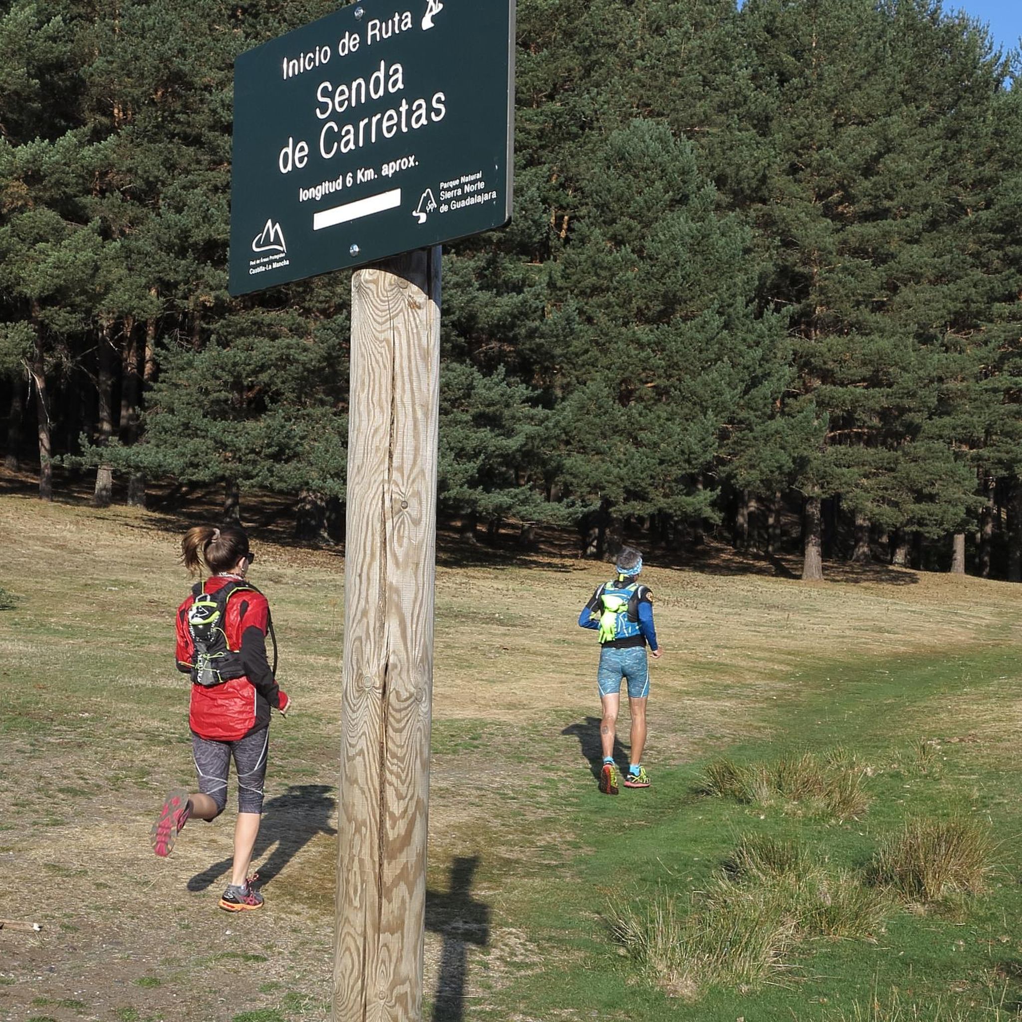
The parking lot in front of the Lillas River is an ideal starting point for exploring the Sierra Norte de Guadalajara Natural Park. Several signposted routes start from here, such as the Senda de Carretas and the Senda del Robledal.
5
0

A Yew among so many Beeches. It is very old and beautiful.
0
0
At this height is La Torrecilla, a pyramid-shaped stone landmark. There is also a viewing point and an information board.
0
0
A hill between mountains and at the same time a crossroads of various paths. Strategic point in El Hayedo de Tejera Negra.
0
0
The fresh water of the river, the meadows on its banks, the green and ochre landscape. A wonder for the eyes and for the spirit.
0
0
Frequently Asked Questions
How many hiking trails are available around Cantalojas?
There are over 115 hiking trails around Cantalojas, offering a wide range of options from easy walks to more challenging treks. The komoot community has explored more than 2,300 routes in the area.
What makes the hiking experience in Cantalojas unique?
Cantalojas is nestled within the Sierra de Ayllón, offering diverse landscapes from mountainous terrain to river valleys. Its most unique feature is the Hayedo de Tejera Negra, a UNESCO World Heritage site and one of Europe's southernmost ancient beech forests. This area boasts a special microclimate supporting rich flora and fauna, including extensive pine and Pyrenean oak groves.
What is the best time of year to go hiking in Cantalojas?
Autumn is particularly renowned for hiking in Cantalojas, especially in the Hayedo de Tejera Negra, due to the spectacular chromatic display of its beech foliage. However, the diverse landscapes offer enjoyable hiking experiences throughout spring and summer as well, with cooler temperatures in the higher elevations.
Are there any easy hiking trails suitable for beginners or families?
Yes, Cantalojas offers several easy trails. For instance, the Nacimiento Río Aguisejo — circular por Grado del Pico is an easy 2.6-mile (4.3 km) path that follows the Aguisejo River, providing a gentle walk through natural scenery. There are 12 easy routes in total.
Can I find circular hiking routes in Cantalojas?
Yes, many routes in Cantalojas are circular. A popular option is The viewpoints of the Hayedo Tejera Negra Natural Park - circular via the Carretas path, a 6.5-mile (10.4 km) trail offering panoramic views within the protected beech forest.
Are there any notable landmarks or attractions to see while hiking?
Beyond the natural beauty, you can explore historical and cultural sites. The charming village of Valverde de los Arroyos, known for its traditional 'black architecture,' is nearby. You can also find the ruins of a 12th-century castle at El Castellar by the Sorbe River, and the impressive Pico Ocejón for more challenging ascents.
Are there any waterfalls in the Cantalojas area?
Yes, the region features beautiful waterfalls. The Despeñalagua Waterfall and the Cañamar Waterfall are notable natural attractions that can be explored, often accessible via dedicated trails like the Interconnection Trail to the Chorrera de Despeñalagua.
What do other hikers enjoy most about hiking in Cantalojas?
The area is highly rated by the komoot community, with an average score of 4.6 stars from over 250 reviews. Hikers often praise the stunning natural beauty of the Hayedo de Tejera Negra, the tranquility of the river valleys, and the variety of trails suitable for different fitness levels.
Is it necessary to obtain permits to hike in the Hayedo de Tejera Negra Natural Park?
Due to its protected status as a UNESCO World Heritage site and natural park, access to the Hayedo de Tejera Negra is often regulated, especially during peak seasons like autumn. It is advisable to check the official park website for current regulations regarding permits or reservations before your visit.
Are there any challenging hikes for experienced trekkers?
Yes, for experienced hikers, there are several challenging routes. The Puerto de la Quesera – Pico del Lobo loop from Puerto de la Quesera is a difficult 9.4-mile (15.2 km) trail with significant elevation gain, offering impressive scenery towards the Pico del Lobo. There are 41 difficult routes in the area.
Can I bring my dog on the hiking trails in Cantalojas?
Generally, dogs are permitted on many trails in the Cantalojas region, especially on public paths. However, specific rules may apply within protected areas like the Hayedo de Tejera Negra Natural Park. It's always best to check park-specific regulations beforehand, and always keep dogs on a leash and clean up after them.
Are there options for parking near the trailheads?
Yes, many popular trailheads, especially those leading into the Hayedo de Tejera Negra, have designated parking areas. For example, the The Thousand-Year-Old Yew loop from Aparcamiento Hayedo Tejera Negra starts from a dedicated parking lot, making access convenient for hikers arriving by car.
Most popular routes around Cantalojas
Most popular attractions around Cantalojas

Get inspired with the komoot mobile app


Explore more
Browse the best Hikes in other regions.
