
The best running trails in Dota
21
runners
3
runs
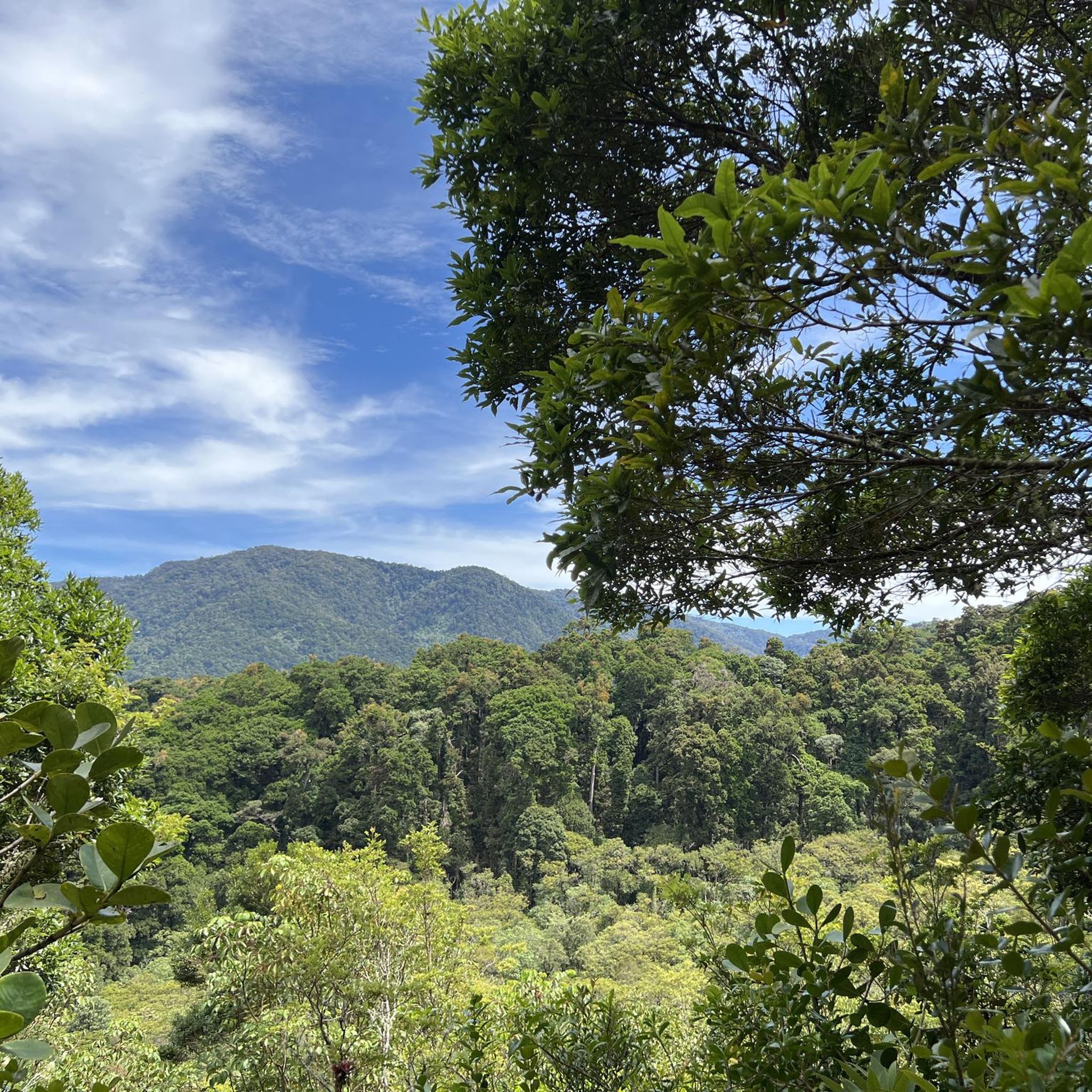
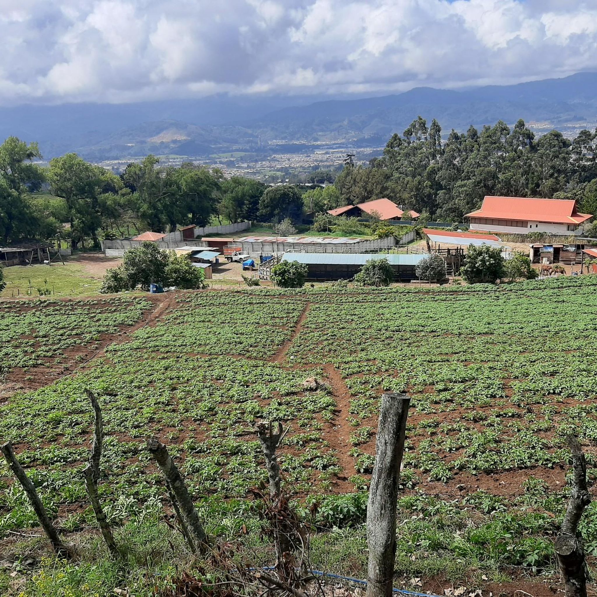
Jogging in Dota takes place within a landscape characterized by lush cloud forests, mountainous terrain, and deep river valleys. The region is home to the Río Savegre, which carves through the landscape, and features numerous waterfalls. Elevations vary significantly, offering diverse challenges for runners.
Best jogging routes in Dota
- The most popular jogging route is Running loop from Santa María, a 3.4 miles (5.5 km) trail that takes 38 minutes to complete. This moderate route offers a good introduction…
Last updated: May 13, 2026
7
runners
13.2km
01:43
590m
600m
Hard run. Very good fitness required. Mostly paved surfaces. Suitable for all skill levels.
8
runners
12.7km
01:31
380m
380m
Hard run. Very good fitness required. Mostly paved surfaces. Suitable for all skill levels.

Sign up for free
3
runners
14.4km
01:47
610m
610m
Hard run. Very good fitness required. Mostly paved surfaces. Suitable for all skill levels.
3
runners
5.45km
00:38
160m
160m
Moderate run. Good fitness required. Mostly paved surfaces. Suitable for all skill levels.
Our route recommendations are based on thousands of hikes, rides, and runs completed by other people on komoot.
Start today with a free account
Your next adventure awaits.
Login or Signup

Frequently Asked Questions
Where exactly is Dota, and what makes it special for running?
Dota refers to San Gerardo de Dota in Costa Rica, a renowned destination for outdoor enthusiasts. It's special for running due to its lush cloud forests, mountainous terrain, and the beautiful Río Savegre, offering a unique and refreshing environment with diverse flora and fauna.
What kind of landscapes can I expect on the running trails in Dota?
You can expect to run through dense cloud forests, characterized by high humidity and mist, offering incredible biodiversity. The region also features mountainous terrain and deep river valleys, providing varied elevations and scenic vistas. Many routes follow the crystal-clear waters of the Río Savegre.
Are there any easy running routes for beginners in Dota?
Yes, for those looking for a more moderate introduction to the region's beauty, the Running loop from Santa María is a great option. It's a 3.4-mile (5.5 km) trail that takes about 38 minutes to complete.
What are some of the more challenging running routes available?
For a more challenging workout, consider the Running loop from Achiotillo, an 8.2-mile (13.2 km) difficult path with significant elevation changes through dense cloud forest. Another difficult option is the Cerro Trinidad loop from El Cedral, covering 7.9 miles (12.7 km).
Can I spot any wildlife while jogging in Dota?
Absolutely! San Gerardo de Dota is famous for its incredible birdlife, particularly as a prime location to spot the Resplendent Quetzal. Jogging through the cloud forests offers excellent opportunities to observe diverse flora and fauna.
Are there any waterfalls along the running routes in Dota?
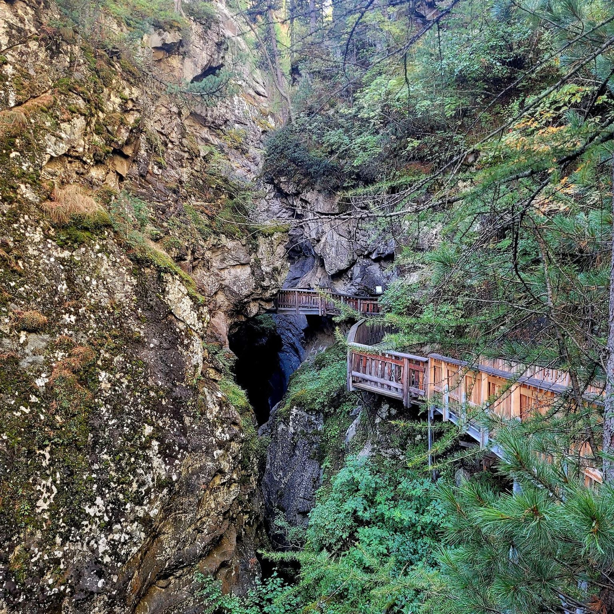
The region boasts several beautiful waterfalls, including those along the Río Savegre. Trails leading to these waterfalls provide picturesque routes for exploration and offer a rewarding visual spectacle. Some paths can be adventurous, so sturdy shoes are recommended.
What should I know about the weather when planning a run in Dota?
The weather in Dota can be variable. It can be chilly at night, and rain can occur at any time of year due to the cloud forest environment. It's advisable to bring a rain jacket and waterproof trail running shoes to stay comfortable.
Are the running routes in Dota typically circular?
Many of the popular running routes in Dota are designed as loops, allowing you to start and finish at the same point. Examples include the Running loop from Santa María and the Running loop from Copey.
How many running routes are featured in this guide for Dota?
This guide features four distinct running routes in Dota, offering a range of difficulties from moderate to difficult, allowing you to choose an adventure that suits your fitness level.
What do other runners say about the trails in Dota?
More than 20 runners have used komoot to explore Dota's varied terrain. They often praise the immersive experience of running through the serene cloud forest environment and the stunning natural beauty of the region.
Are there any viewpoints or scenic spots along the running trails?
Yes, the mountainous terrain offers various viewpoints, such as Mirador SIWÕ', which provide panoramic views of the forest and valleys. Incorporating these into your running route can offer breathtaking breaks and photo opportunities.

Get inspired with the komoot mobile app


Didn’t find what you were looking for?
Check out more Running Trails & Routes throughout Dota below and find the perfect route in your destination.
Explore more
Browse the best Running Trails & Routes in other regions.
