The best walks and hikes in Dota
4.9
(115)
741
hikers
10
hikes
Hiking in Dota offers access to diverse landscapes characterized by cloud forests, river valleys, and prominent oak trees. The region features varied terrain, including moderate ascents and descents, with trails often leading to scenic viewpoints and waterfalls. The Savegre River is a significant natural feature, providing routes along its banks.
Best hiking trails in Dota
- The most popular hiking route is La Quebrada Cloud Forest Trail – The Oak of Hotel Savegre loop from Zapotal, a 6.4 miles (10.3…
Last updated: May 20, 2026
4.8
(60)
290
hikers
10.5km
03:59
470m
470m
Moderate hike. Good fitness required. Mostly accessible paths. Sure-footedness required.
4.8
(18)
153
hikers
5.00km
01:52
240m
240m
Moderate hike. Great for any fitness level. Mostly accessible paths. Sure-footedness required.

Sign up for free
4.7
(13)
76
hikers
6.22km
01:50
180m
180m
Easy hike. Great for any fitness level. Easily-accessible paths. Suitable for all skill levels.
5.0
(7)
46
hikers
3.08km
01:04
100m
110m
Moderate hike. Great for any fitness level. Mostly accessible paths. Sure-footedness required.
5.0
(2)
51
hikers
4.07km
01:45
240m
240m
Moderate hike. Great for any fitness level. Mostly accessible paths. Sure-footedness required.
4.3
(4)
21
hikers
7.70km
02:14
210m
210m
Moderate hike. Good fitness required. Easily-accessible paths. Suitable for all skill levels.
5.0
(3)
21
hikers
14.8km
04:32
520m
520m
Moderate hike. Good fitness required. Easily-accessible paths. Suitable for all skill levels.
5.0
(3)
8
hikers
7.72km
02:43
310m
300m
Moderate hike. Good fitness required. Mostly accessible paths. Sure-footedness required.
5.0
(1)
5
hikers
2.99km
01:10
160m
160m
Moderate hike. Great for any fitness level. Mostly accessible paths. Sure-footedness required.
8
hikers
12.6km
05:00
800m
800m
Hard hike. Very good fitness required. Mostly accessible paths. Sure-footedness required.
Our route recommendations are based on thousands of hikes, rides, and runs completed by other people on komoot.
Start today with a free account
Your next adventure awaits.
Login or Signup


Tips from the Community

Toilets with panoramic views of the forest!
0
0

Hikes cloud forest hotel Savegre
0
0
Here begins the paramo
0
0

Nice Hike, we did it as a family. The trail is starting to get a little bit abandoned, the waterfall is no longer visible (as of June 29, 2024) due to a collapse. Anyways, we enjoyed the beautiful forest.
0
0

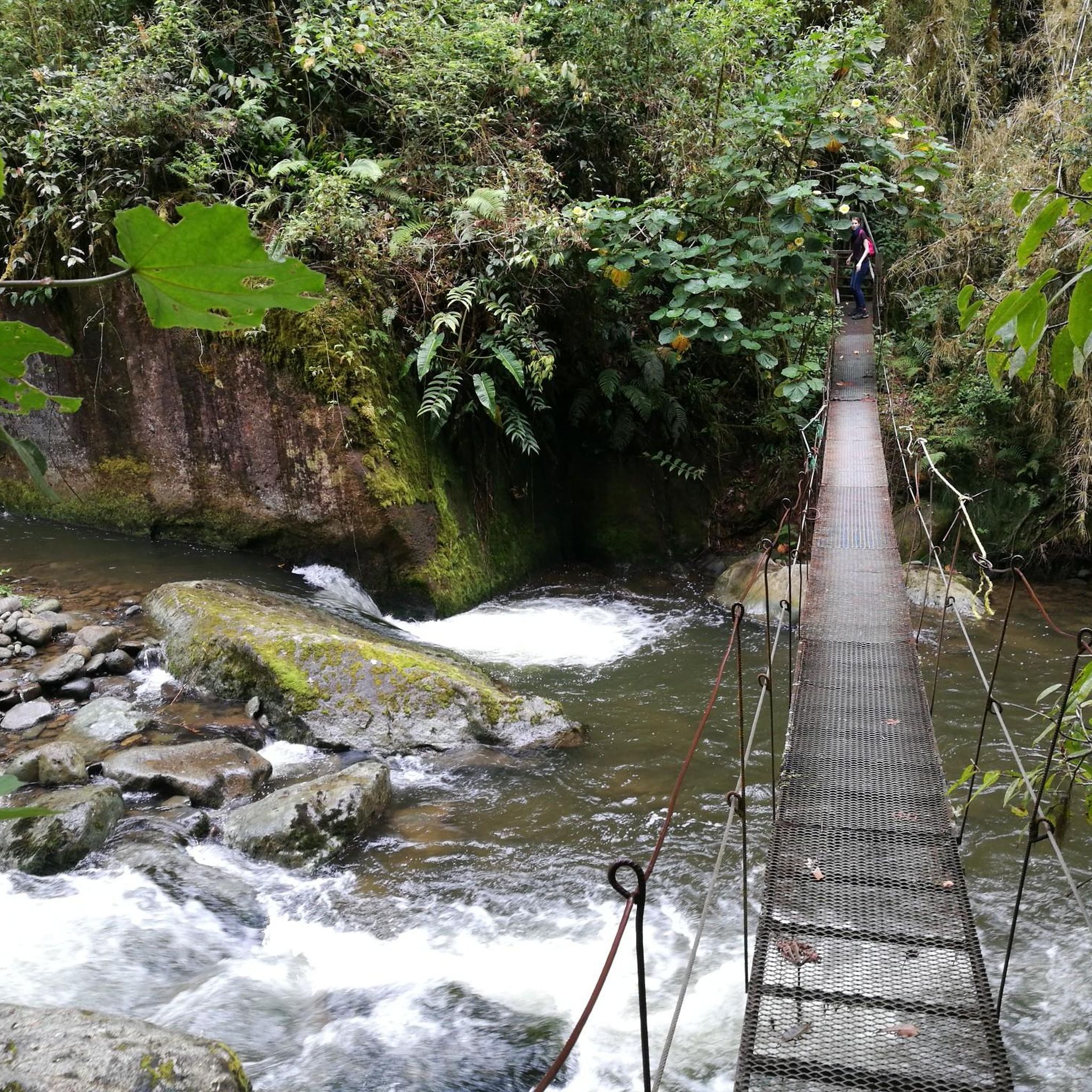
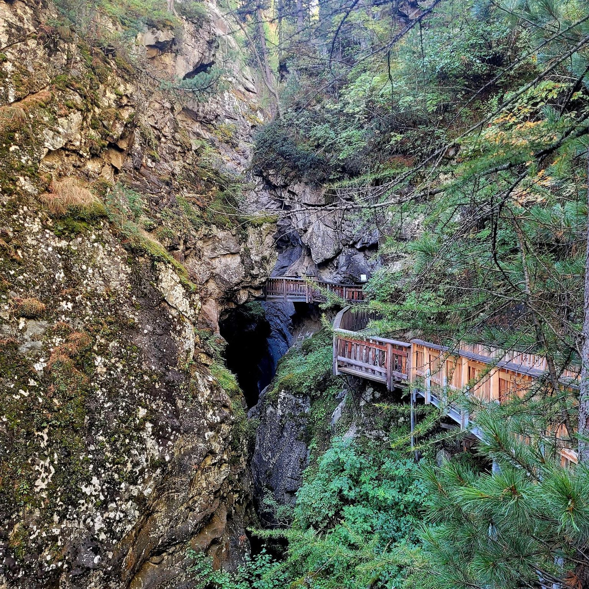
Very difficult path, but worth it! Lots of dilapidated bridges and stairs. Sturdy shoes are definitely recommended. The path runs downstream on the right side (unlike what is shown on the Komoot map). Shortly before the waterfall there is another wild suspension bridge.
0
0
Beautiful waterfall in the Rio Savegre. Access via two dilapidated bridges is a bit adventurous.
0
0


Rustic but cozy wooden bungalows with different occupancy options. Since the lodge is at an altitude of 2000m, it gets a bit chilly in the accommodations at night. Breakfast and dinner are made from regional products and are highly recommended.
1
0
Frequently Asked Questions
How many hiking trails are available in Dota?
Dota offers a selection of 10 hiking routes, catering primarily to moderate ability levels, with one easy trail also available.
Are there any easy hiking trails in Dota suitable for beginners?
Yes, there is one easy trail in Dota. The Savegre River – Waterfall on the Río Savegre loop from San Gerardo is a 3.9-mile (6.2 km) path that leads through riverine landscapes to a waterfall, typically completed in about 1 hour 50 minutes.
What kind of terrain can I expect on Dota's hiking trails?
Dota's hiking trails are characterized by diverse terrain, including dense cloud forests, river valleys, and areas with prominent oak trees. You can expect moderate ascents and descents, with many routes leading to scenic viewpoints and waterfalls, particularly along the Savegre River.
Are there any circular hiking routes in Dota?
Yes, many of Dota's trails are circular. Examples include the La Quebrada Cloud Forest Trail – The Oak of Hotel Savegre loop from Zapotal, a 6.4-mile (10.3 km) route, and the La Quebrada Cloud Forest Trail – Mirador SIWÕ' loop from Zapotal, which is 3.2 miles (5.1 km).
What do other hikers say about the trails in Dota?
The hiking routes in Dota are highly regarded by the komoot community, holding an average rating of 4.8 stars from over 100 reviews. Hikers frequently praise the region's stunning cloud forest scenery, the presence of ancient oak trees, and the beautiful waterfalls.
Are there any trails that feature waterfalls?
Yes, several trails in Dota lead to waterfalls. A notable option is the Savegre River – Waterfall on the Río Savegre loop from San Gerardo, which takes you directly to a waterfall along the Río Savegre. Another option is the longer Savegre River – Waterfall on the Río Savegre loop from El Brujo.
Can I spot wildlife while hiking in Dota?
Dota's cloud forests are rich in biodiversity, making wildlife spotting a common experience. Hikers often encounter various bird species, including the Resplendent Quetzal, and other forest inhabitants. Keeping an eye out along trails like the La Quebrada Cloud Forest Trail can be rewarding.
What is the best time of year to hike in Dota?
The dry season, typically from December to April, is generally considered the best time for hiking in Dota due to more stable weather conditions and clearer skies. However, the cloud forest ecosystem thrives year-round, offering unique beauty even during the wetter months.
Are there any trails with good viewpoints in Dota?
Yes, many trails in Dota offer scenic viewpoints. For example, the La Quebrada Cloud Forest Trail – Mirador SIWÕ' loop from Zapotal specifically highlights views from Mirador SIWÕ' within the cloud forest. The Savegre River – Mirador SIWÕ' loop from Zapotal also includes this viewpoint.
Are there any long-distance hiking options in Dota?
While most routes are moderate in length, the Savegre River – Waterfall on the Río Savegre loop from El Brujo is the longest listed route at 9.2 miles (14.8 km), offering a more extended experience through the region's diverse landscapes.
Are permits required for hiking in Dota?
Most trails in Dota, especially those within private reserves or managed areas, may require an entrance fee or permit. It's advisable to check with local lodges or park authorities in advance for specific requirements for your chosen trail.
What are the typical distances for hikes in Dota?
Hiking distances in Dota vary, with routes ranging from approximately 1.9 miles (3 km) up to 9.2 miles (14.8 km). The majority of trails fall into the moderate category, offering diverse lengths to suit different preferences.

Get inspired with the komoot mobile app


Didn’t find what you were looking for?
Check out more Hikes throughout Dota below and find the perfect route in your destination.
Explore more
Browse the best Hikes in other regions.
