The best walks and hikes around Stikine Region
4.0
(4)
54
hikers
9
hikes
Hiking around Stikine Region offers diverse landscapes, from rugged mountains and deep valleys to lush forests and serene rivers. This area in northwestern British Columbia is characterized by its dramatic topography, including volcanic formations, glacial lakes, and glaciated peaks. The Stikine River carves a significant canyon through volcanic rock, contributing to the region's unique geological features. Hikers can explore a broad spectrum of ecosystems, ranging from coastal rainforest to alpine environments.
Best hiking trails around Stikine Region
- The most popular…
Last updated: August 3, 2026
9
hikers
Hard hike. Very good fitness required. Easily-accessible paths. Suitable for all skill levels.
7
hikers
7.11km
02:07
220m
220m
Hike the moderate 4.4-mile Laughton Glacier Trail in Tongass National Forest, accessible by train, to explore a glacier and Alaskan wilderne

Sign up for free
8
hikers
4.54km
01:34
250m
250m
This easy 2.8-mile hike to Windy Arm Overlook offers panoramic views of Tagish Lake and the historic Venus Silver Mine near Carcross.
3.0
(2)
7
hikers
3.67km
01:03
80m
80m
Hike the easy 2.3-mile Liard Canyon Trail in Yukon for expansive views of the Liard River canyon and interpretive panels.
4
hikers
15.7km
05:24
840m
840m
Hard hike. Very good fitness required. Easily-accessible paths. Suitable for all skill levels.
Get access to more routes and recommendations from other explorers.
Sign up for free
Already have an account?
Our route recommendations are based on thousands of hikes, rides, and runs completed by other people on komoot.
Start today with a free account
Your next adventure awaits.
Login or Signup
Popular around Stikine Region
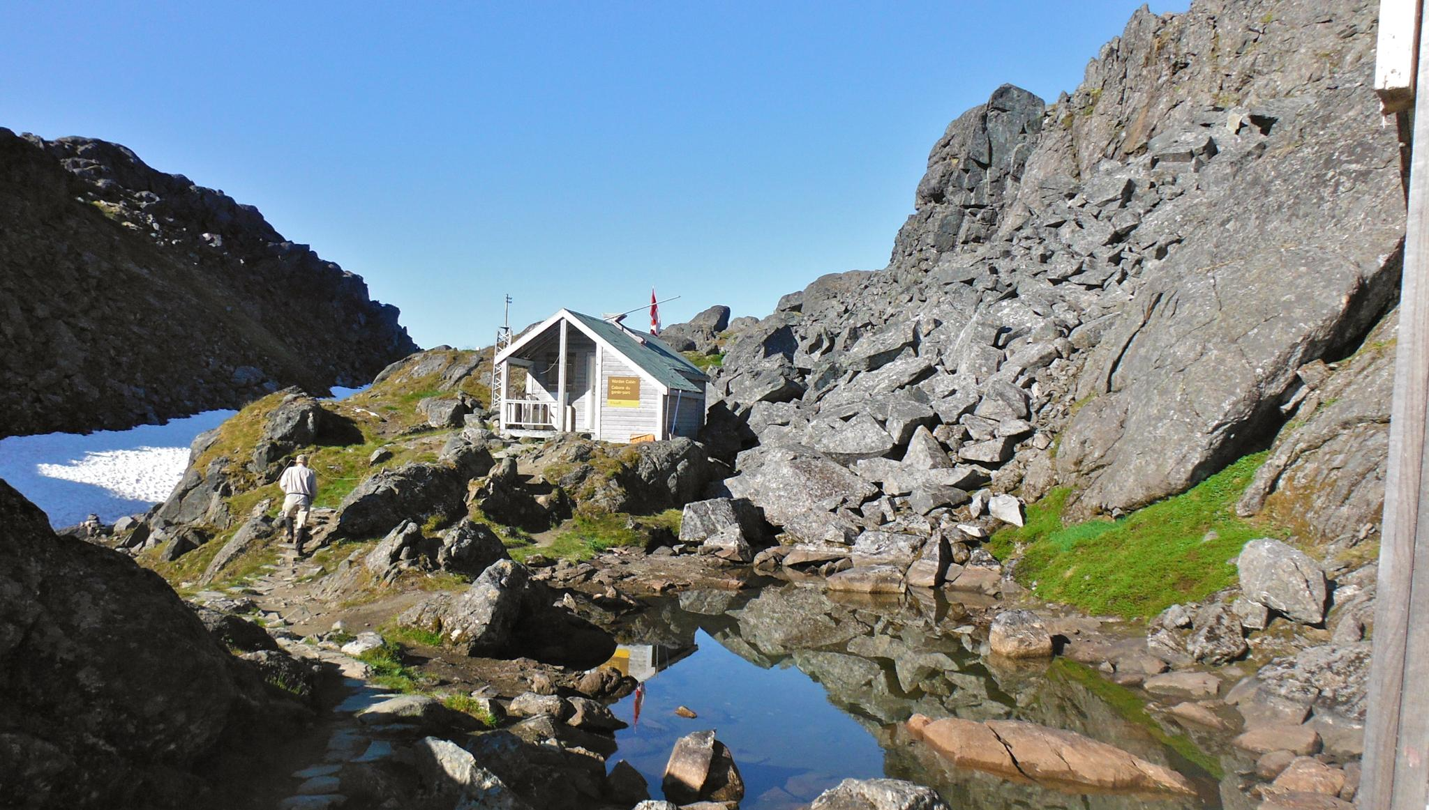
The Chilkoot Trail — Gold Rush history among soaring mountains
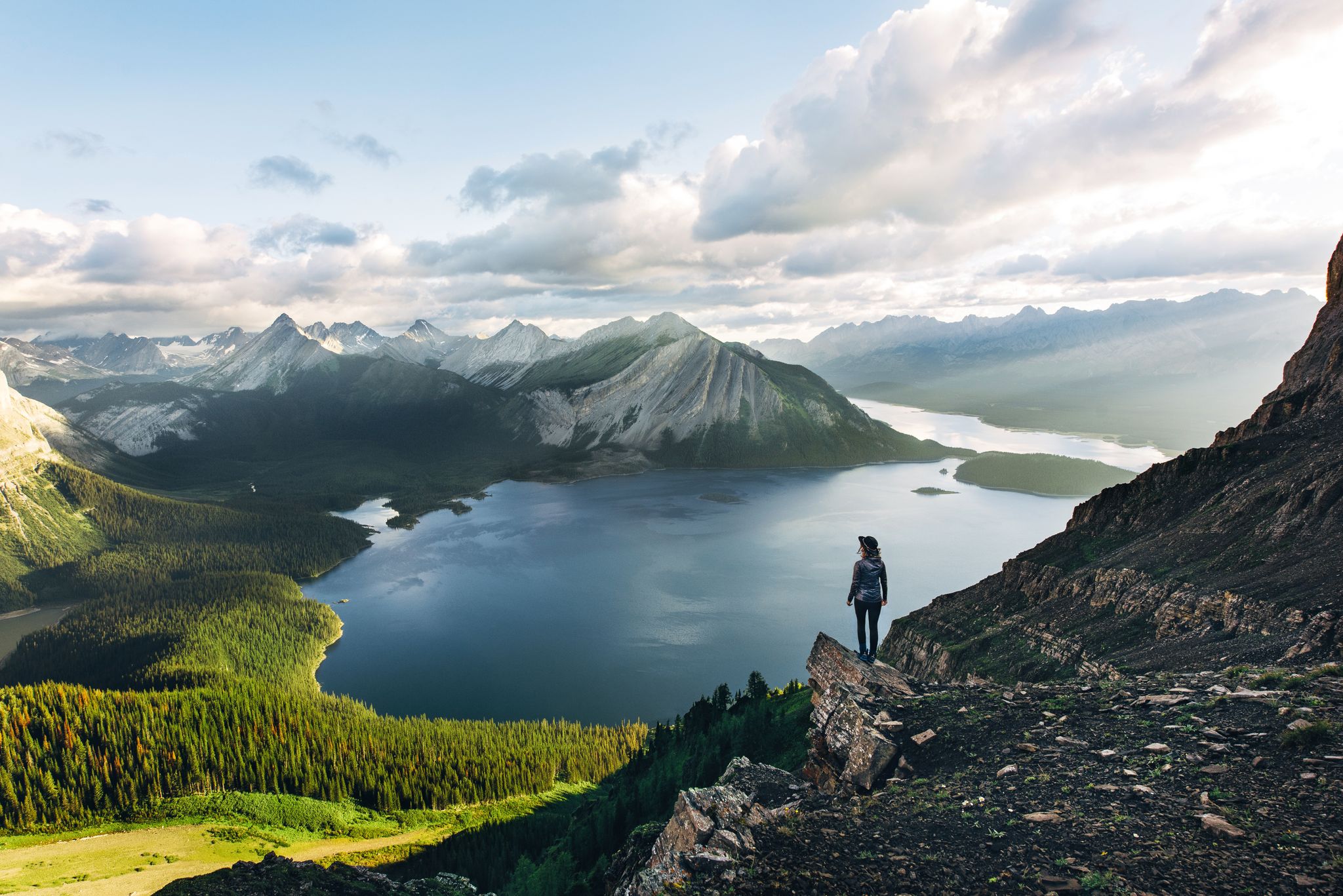
Long-distance hiking in Canada – between mountains and coast
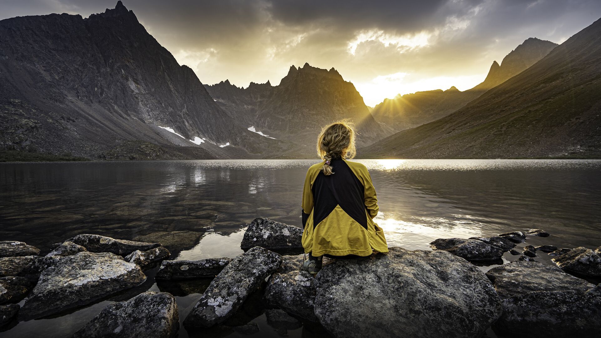
The longest footpath in the world – Trans Canada Trail
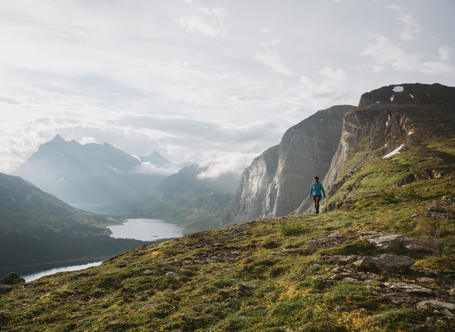
The Great Wilderness – hiking in the vastness of British Columbia
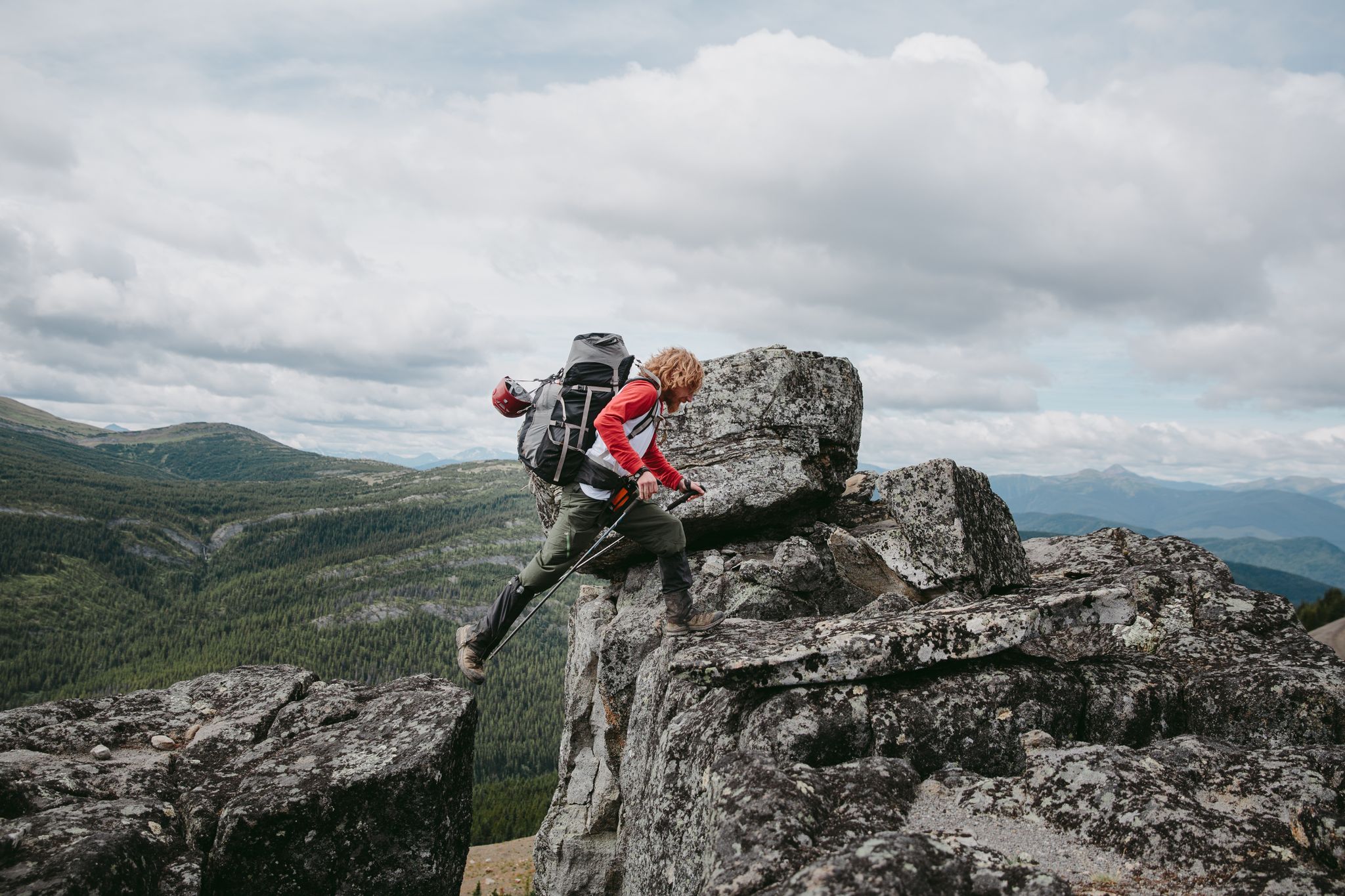
The Great Wilderness – a multi-day route across British Columbia
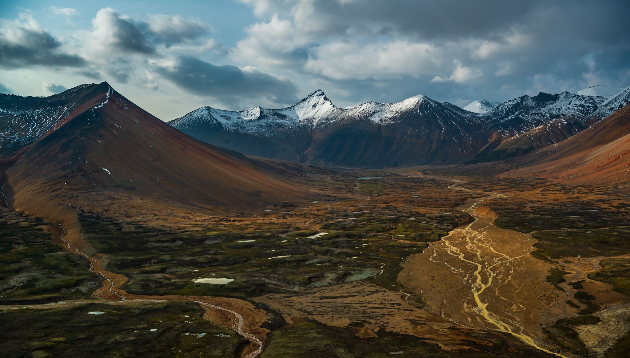
The Great Wilderness – hiking adventures in vast British Columbia
Other adventures around Stikine Region


Tips from the Community

The trailhead for Paddy Peak is located along the Klondike Highway, beside Tutshi Lake. A small roadside pullout marks the start, offering limited parking and direct access to the track that leads to the trail.
0
0
Paddy Peak Trail begins in the valley near Tutshi Lake and ascends through the forest, following small creeks. After passing the tree line, the trail opens to wide views of the St. Elias Mountains and the surrounding wilderness. As you gain elevation, the scenery becomes truly dramatic, with rugged rocky peaks, glacier-fed lakes, and expansive wilderness stretching in every direction. It’s a challenging hike with steep sections, but the 360° summit panorama and the lake at the top make every step worthwhile. The trail splits in several places, so I recommend downloading your komoot map before setting out.
0
0
From the Paddy Peak Trail, you’ll be rewarded with sweeping views of Tutshi Lake and the rugged mountains that surround it. The higher you climb, the wider the panorama becomes, with glacier-carved valleys, deep-blue water, and peaks stretching far into the distance.
0
0

Just south of Lucky Lake Cemetery sits Lucky Lake, best known as a peaceful rest and camping area frequented by travelers heading to or from the Yukon. It has easy access to Liard River Hot Springs and the Liard River Corridor Provincial Park.
0
0
Lucky Lake Recreation Area is just over the border of the Yukon and British Columbia, and has all sorts of things to do. There is a water slide into Lucky Lake, sandy shores, a hiking trail, a welcome to the Yukon sign, a restroom, picnic benches, and more.
0
0
The Liard River stretches 1,115 kilometers and is one of the largest tributaries of the Mackenzie River system. It begins it's journey at the Yukon Plateau near Muncho Lake and flows southeast through the rugged Liard River Valley before finishing at the Mackenzie River. The Liard is a wild river that flows through remote boreal forests and mountains, with natural hot springs along its banks.
0
0
Driving southbound on YT-2, pass under large cables coming down the mountain attaching to an old, wooden structure, the Venus Silver Mine. There is parking on the side of the road right after that, or keep going and park on the right where the trail starts. There is room for a car or two at the trailhead, the base of an old 4x4 trail up with a yellow gate.
0
0
Take a look at this old mining site, a silver, lead, and zinc mine built in the early 1900s. Today, be careful for rusty relics on the trail and check out the old mine ruins from a distance to stay safe.
0
0
Frequently Asked Questions
How many hiking trails are available in the Stikine Region?
The Stikine Region offers a variety of hiking experiences with over 9 trails documented on komoot, ranging from easy walks to challenging multi-day treks. These routes explore diverse landscapes, from volcanic formations to glacial lakes.
Are there easy hiking trails suitable for beginners or families in the Stikine Region?
Yes, the Stikine Region has several easy trails perfect for beginners or families. For instance, the Liard Canyon Trail is an easy 2.3-mile hike offering expansive views of the Liard River canyon. Another option is the Windy Arm Overlook, an easy 2.8-mile hike with panoramic views of Tagish Lake.
What is the best time of year to go hiking in the Stikine Region?
The best time for hiking in the Stikine Region is generally during the summer months, from June to September, when the weather is milder, and trails are free of snow. This period also offers the chance to see vibrant wildflower meadows and abundant wildlife.
What kind of wildlife can I expect to see on the trails in the Stikine Region?
The Stikine Region is rich in wildlife. Hikers often spot grizzly and black bears, wolves, moose, caribou, mountain goats, and Stone's sheep. The diverse ecosystems, from coastal rainforests to alpine environments, support a wide array of species.
Are there any trails that offer views of glaciers or unique geological features?
Absolutely. The region is known for its glaciated peaks and volcanic formations. The Laughton Glacier Trail provides stunning views of glaciated landscapes. Mount Edziza Provincial Park, a UNESCO World Heritage Site, features unique volcanic rock formations, while the Stikine River carves a dramatic canyon through volcanic rock.
Are there any circular hiking routes in the Stikine Region?
While specific circular routes are not detailed in every instance, many trails in the Stikine Region offer out-and-back options that can be enjoyed as a loop if you plan your return. The region's diverse topography allows for varied exploration, often leading to stunning viewpoints before returning.
What do other hikers enjoy most about hiking in the Stikine Region?
The Stikine Region is highly rated by the komoot community, with an average score of 5.0 stars. Reviewers often praise the region's dramatic topography, including towering mountains, deep valleys, and the unique geological features like the Grand Canyon of the Stikine River.
Are there any notable attractions or landmarks to see near the hiking trails?
Yes, the Stikine Region is home to several natural attractions. You can explore Boya Lake, known for its turquoise waters, or visit the Beaver Dam on Beaver Lodge Trail in Tā Ch’ilā Provincial Park. The historic settlement of Bennett is also a point of interest.
Are permits required for hiking in the Stikine Region's provincial parks?
Some provincial parks in the Stikine Region, particularly those offering multi-day wilderness experiences like Tatshenshini-Alsek Provincial Park or Mount Edziza Provincial Park, may require permits for backcountry camping or specific activities. It's always best to check with BC Parks for the most current regulations before your trip.
Can I find trails that lead to hot springs in the Stikine Region?
Yes, natural hot springs are an attraction in the region. While not directly on every hiking trail, the Liard River Hot Springs are a notable feature along the banks of the Liard River, and the Lucky Lake Recreation Area near the Yukon-BC border offers access to these hot springs.
Are there any challenging multi-day hikes in the Stikine Region?
For experienced hikers seeking a challenge, the Stikine Region offers demanding multi-day treks. The Chuck Creek Trail to Samuel Glacier in Tatshenshini-Alsek Provincial Park is a difficult 13-mile route through stunning glaciers and mountains. Another challenging option is the Paddy Peak Trail, which leads through mountainous terrain.
What kind of terrain can I expect on hikes around Telegraph Creek?
Near Telegraph Creek, hikers can find scenic routes that wind through ancient cedar forests alongside rushing rivers. These trails are popular for their natural beauty and offer opportunities for both hiking and photography, showcasing the region's diverse forest ecosystems.
Most popular attractions around Stikine Region

Get inspired with the komoot mobile app


Explore more
Browse the best Hikes in other regions.
