The best gravel rides around Lompnieu
4.8
(4)
40
riders
12
rides
Gravel biking around Lompnieu, located in France's Ain department within the Auvergne Rhône-Alpes region, offers diverse landscapes. The area features varied elevations, from valleys to high plateaus, providing challenging routes through the Bugey region. Unspoilt forests and a network of trails characterize the terrain, suitable for different levels of gravel biking. This region is known for its natural heritage, including limestone soils and access to the Grand Colombier, offering a mix of technical paths and scenic vistas.
Best gravel bike trails around Lompnieu
- The most popular gravel bike trail is Brenod plateau, a 14.6 miles (23.4 km) trail that takes 1 hour 53 minutes to complete. This moderate route explores the elevated plateau landscape.
- Another top favourite among local gravel bikers is Plateau de Retord – Cuvéry Pass loop from Haut Valromey, a difficult 19.7 miles (31.7 km) path. This route features significant elevation gain through the plateau and pass areas.
- Local gravel bikers also love the Lake Nantua – Plateau de Retord loop from Hotonnes, a 38.6 miles (62.1 km) trail leading through varied terrain with significant elevation, often completed in about 4 hours 16 minutes.
- Gravel biking around Lompnieu is defined by mountainous terrain, high plateaus, and extensive forest trails. The network offers options for different ability levels, from moderate paths to more challenging routes with significant climbs.
- The routes in Lompnieu are highly rated by the komoot community with an average score of 4.5 stars from over 2 reviews. More than 25 gravel bikers have used komoot to explore Lompnieu's varied terrain.
Last updated: May 23, 2026
4.5
(2)
4
riders
23.4km
01:53
300m
300m
Moderate gravel ride. Good fitness required. Mostly paved surfaces. Suitable for all skill levels.
3
riders
39.5km
02:51
820m
820m
Hard gravel ride. Very good fitness required. Mostly paved surfaces. Suitable for all skill levels.

Sign up for free
63.6km
04:53
1,680m
1,690m
Hard gravel ride. Very good fitness required. Mostly paved surfaces. Suitable for all skill levels.
5.0
(2)
15
riders
29.7km
02:35
640m
640m
Hard gravel ride. Very good fitness required. Mostly paved surfaces. Suitable for all skill levels.
4
riders
31.7km
02:05
540m
540m
Hard gravel ride. Very good fitness required. Mostly paved surfaces. Suitable for all skill levels.
Get access to more routes and recommendations from other explorers.
Sign up for free
Already have an account?
Our route recommendations are based on thousands of hikes, rides, and runs completed by other people on komoot.
Start today with a free account
Your next adventure awaits.
Login or Signup
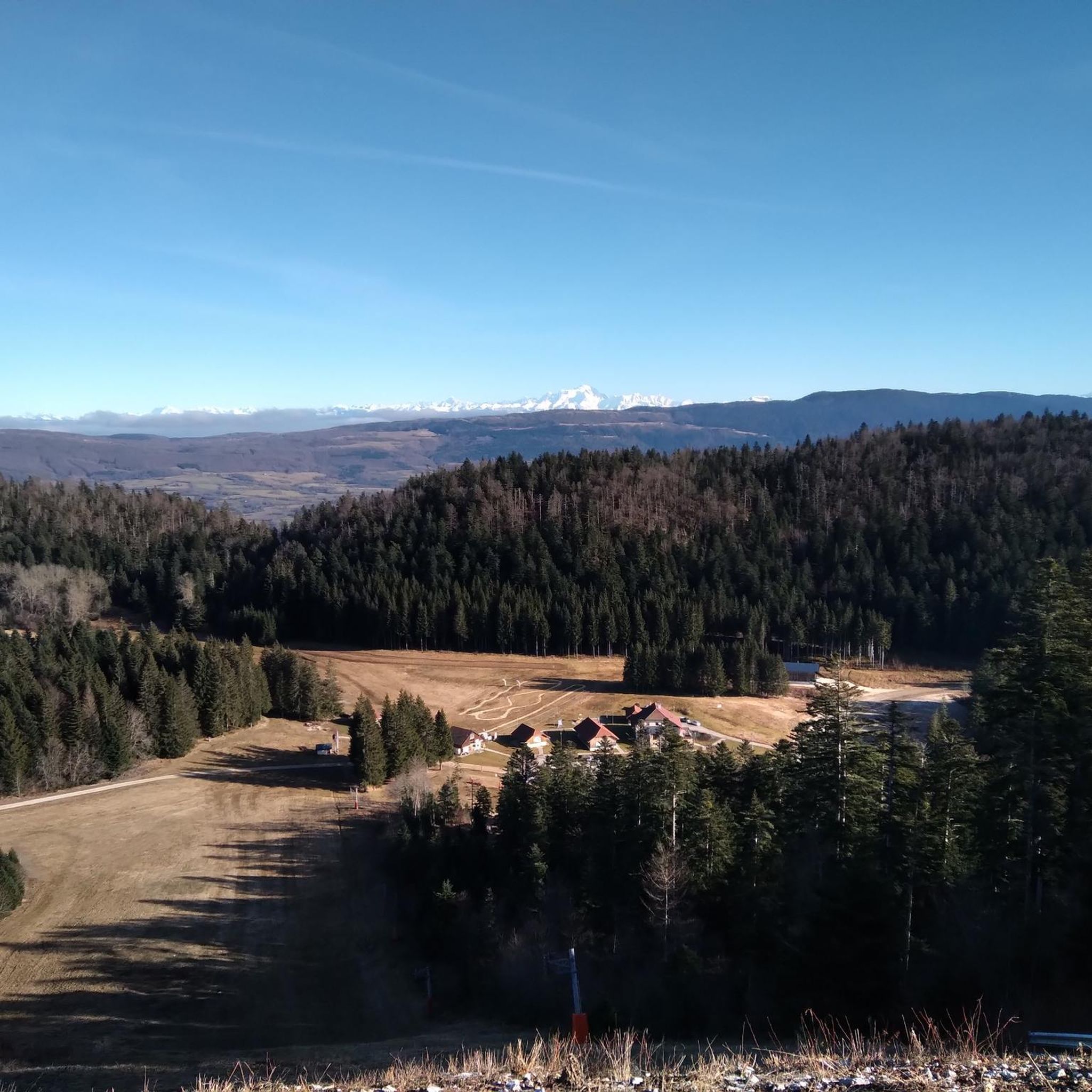
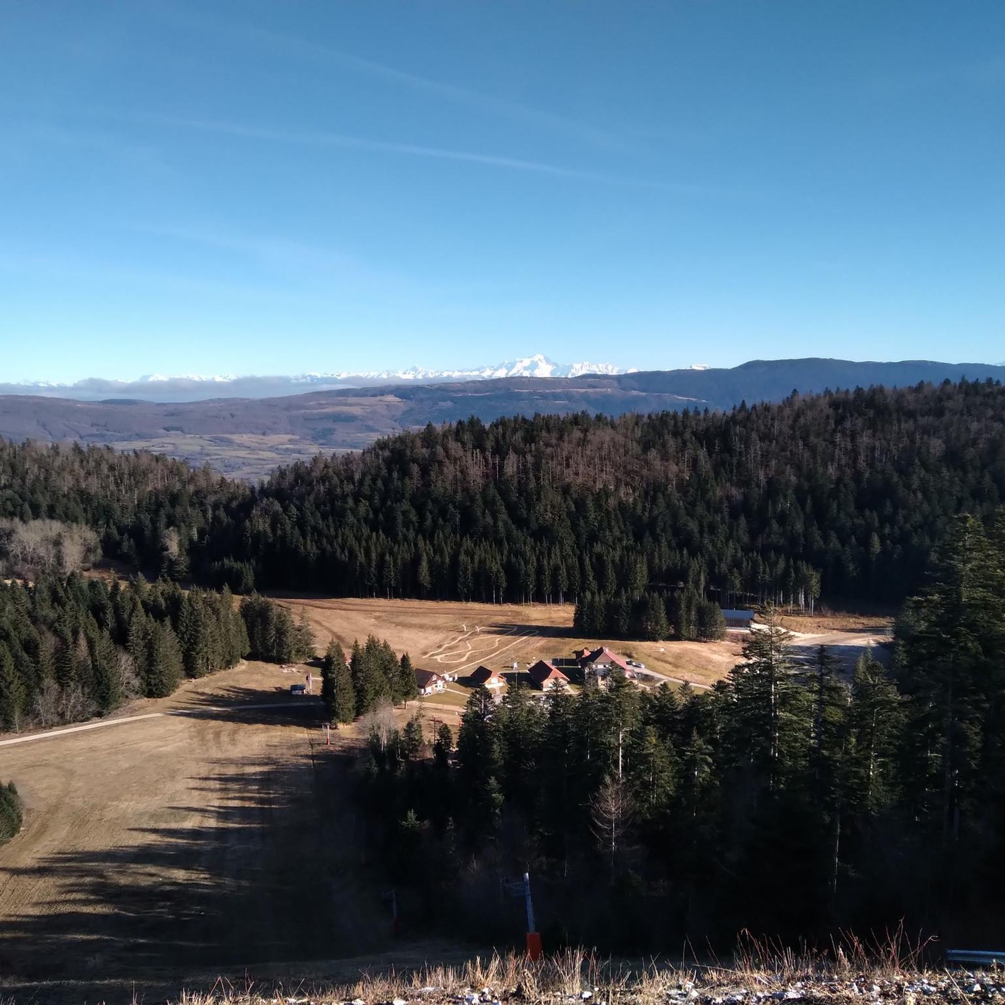
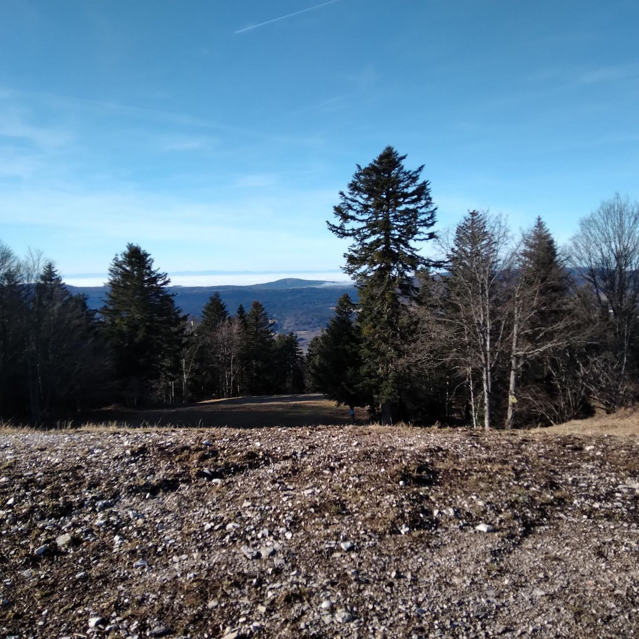
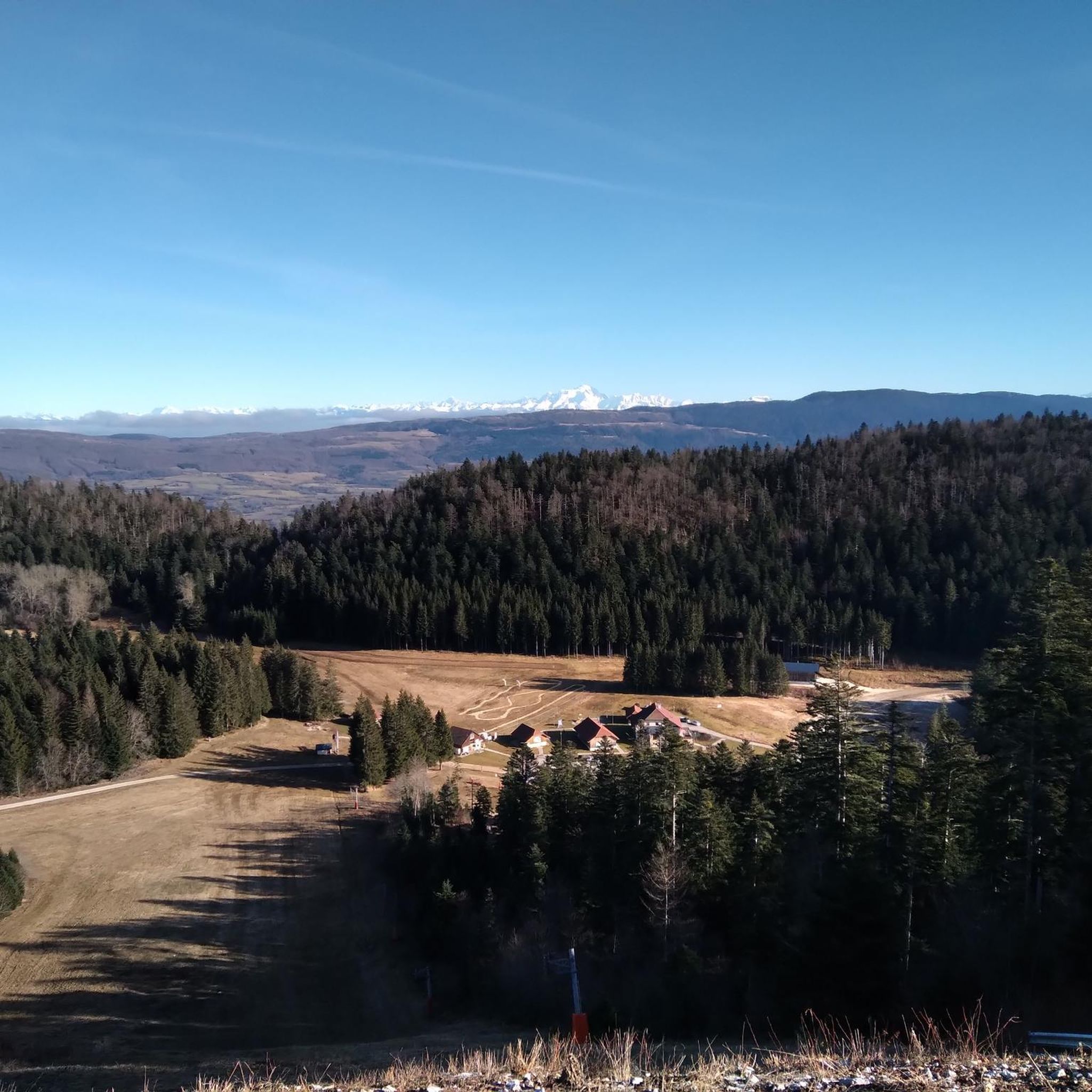

Tips from the Community

The Cormaranche Bike Park is made up of seven downhill trails, five enduro trails, and a Ludi Park for the youngest. Enough to have fun whatever your level. Picnic tables, a barbecue area, and a bivouac area are also available on site.
0
0
In addition to being the starting point for several walking and cycling routes, the La Praille estate offers everything you need to regain your strength after an outing. Besides accommodation and catering at the inn, there is a wellness area (spa and Nordic bath) to recharge your batteries in a magnificent mountain setting.
0
0
These two lovely ponds were built by humans in 1234. They were attached to the old abbey of Saint-Sulpice, the ruins of which can be found a little further north. They offer a pleasant setting for riding in peace and quiet.
0
0

The Retord farm, located on the plateau of the same name, allows you to discover local products and offers a pleasant stop in a relaxing natural setting.
0
0

Little-known pass but very beautiful little road!
0
0


A 10 km climb from the small roundabout in Châtillon, it's more like 14 km from the Nantua road or the center of Bellegarde. The gradient is fairly steady, ranging from 5.5% to 7.2%, with about ten small steep sections at +8.5%. Very quiet, with very few cars. The road is generally in good condition, but nothing more. There are some beautiful views along the way.
1
1

Impressive 115 m high waterfall, the Charabotte is nestled in the Albarine valley. https://www.perouges-bugey-tourisme.com/decouvrir/la-vertigineuse-cascade-de-la-charabotte/
0
0
Frequently Asked Questions
How many gravel bike trails are available around Lompnieu?
There are over 10 gravel bike routes around Lompnieu, offering a variety of experiences for different skill levels. The region is known for its diverse landscapes, from valleys to high plateaus, providing a rich network of trails.
What kind of terrain can I expect on gravel bike trails near Lompnieu?
The terrain around Lompnieu is characterized by mountainous areas, high plateaus, and extensive unspoilt forests. You'll find a mix of paths, from moderate gravel tracks to more challenging routes with significant climbs and technical sections, especially in areas like the Grand Colombier.
Are there any family-friendly gravel biking routes in the Lompnieu area?
While many routes in Lompnieu feature significant elevation changes, some sections or shorter loops can be suitable for families. For a moderate option, consider the Brenod plateau trail, which explores an elevated landscape over about 14.6 miles. Always check the route details for specific difficulty and elevation to ensure it matches your family's ability.
What are some notable landmarks or viewpoints I can see while gravel biking around Lompnieu?
The region offers several scenic highlights. You might encounter impressive natural features like the Thurignin Gorges or the picturesque Cerveyrieu Waterfall. Mountain passes such as the famous Col du Grand Colombier also offer rewarding views and challenging climbs.
What is the best time of year for gravel biking in Lompnieu?
The Auvergne Rhône-Alpes region, including Lompnieu, is generally pleasant for outdoor activities from spring through autumn. Spring offers lush greenery, while autumn provides beautiful foliage. Summer can be warm, especially at lower elevations, but higher plateaus offer cooler temperatures. Always check local weather forecasts before heading out.
Are there any circular gravel bike routes around Lompnieu?
Yes, many of the gravel routes in the area are designed as loops. For example, the challenging Plateau de Retord – Cuvéry Pass loop from Haut Valromey offers a significant elevation gain through scenic areas. Another option is the Saint-Martin-de-Bavel – Culoz loop from Valromey-sur-Séran, which covers varied terrain over a longer distance.
What do other gravel bikers enjoy most about Lompnieu's trails?
The gravel biking routes around Lompnieu are highly rated by the komoot community, with an average score of 4.5 stars. Riders often praise the diverse landscapes, from challenging mountain passes to serene forest trails, and the opportunity to explore the natural heritage of the Auvergne Rhône-Alpes region.
Are there options for advanced gravel bikers seeking a challenge?
Absolutely. Lompnieu and the surrounding Ain department offer several difficult routes with substantial elevation gain. The Col de Richemond (1060 m) – Plans d'Hotonnes Station loop from Hotonnes is a challenging option, featuring significant climbs and descents through mountainous terrain.
Where can I find local amenities like cafes or accommodation near the trails?
While Lompnieu itself is a smaller village, the wider Valromey-sur-Séran area and nearby towns like Hauteville-Lompnes offer various amenities. You can often find cafes, restaurants, and accommodation options in these villages, which are good starting or ending points for your rides. For example, the Fresne Washhouse – Haut Bugey country of calm loop from Hauteville-Lompnes starts from a town with more services.
Is Lompnieu a real place, and where is it located?
Yes, Lompnieu is a real place, a commune located in the Ain department of France, within the Auvergne Rhône-Alpes region. It's nestled in a diverse natural environment, making it an excellent base for exploring the region's outdoor offerings, particularly for gravel biking.
Are there any long-distance gravel cycling routes available?
While specific multi-day routes aren't detailed here, the extensive network of trails and varied terrain in the Auvergne Rhône-Alpes region allows for combining shorter routes into longer adventures. The Saint-Martin-de-Bavel – Culoz loop from Valromey-sur-Séran, at over 33 miles, is one of the longer single-day options that can be part of a more extended tour.
Most popular attractions around Lompnieu

Get inspired with the komoot mobile app


Explore more
Browse the best Gravel rides in other regions.
