The best gravel rides around Glandage
5.0
(3)
46
riders
12
rides
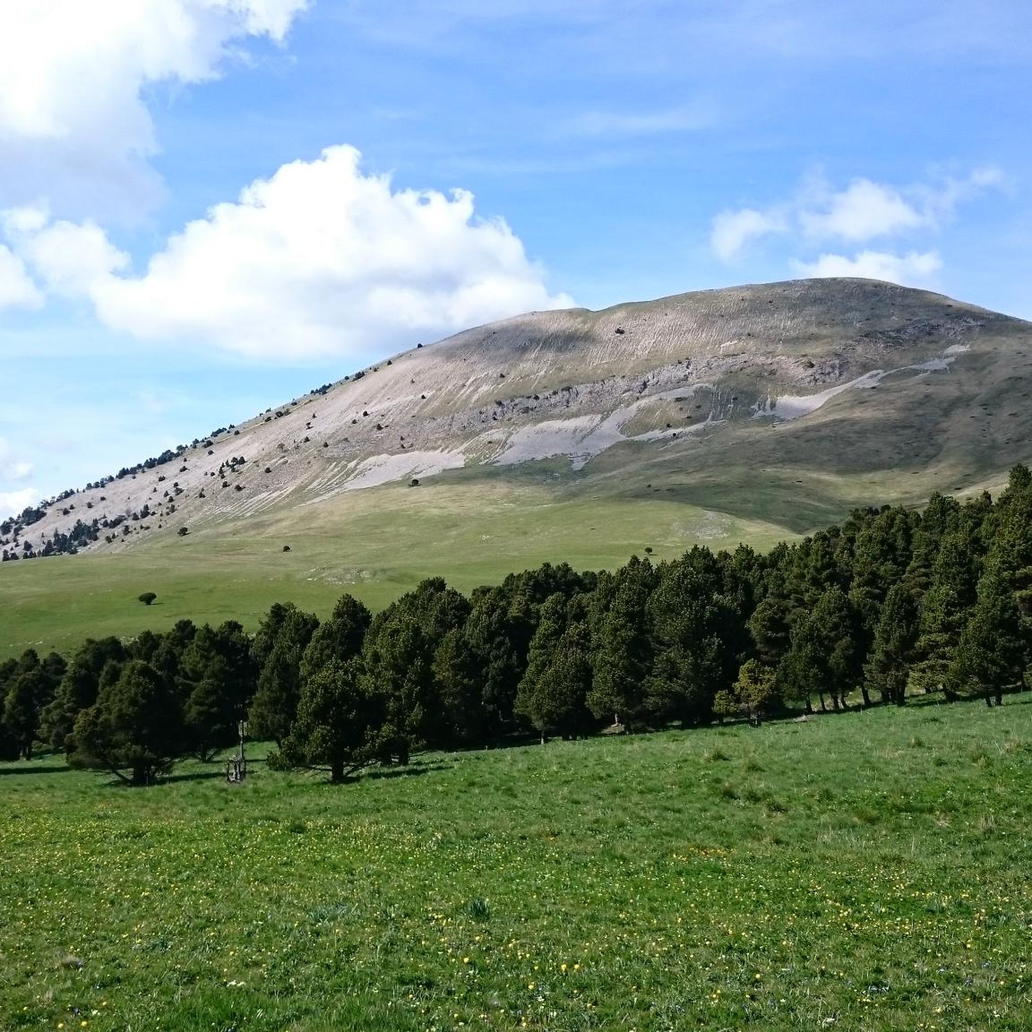
Gravel biking around Glandage offers a diverse landscape for riders. The region features varied terrain, including valleys, mountain passes, and forested sections. Routes often involve significant elevation changes, characteristic of the Diois region. The area provides a mix of challenging climbs and scenic paths suitable for gravel biking.
Best gravel bike trails around Glandage
- The most popular gravel bike trail is Châtillon-en-Diois – Miscon Pass loop from Châtillon-en-Diois, a 25.8 miles (41.5 km) trail that takes 3 hours 42…
Last updated: October 5, 2026
5.0
(1)
10
riders
45.9km
04:10
1,360m
1,360m
Hard gravel ride. Very good fitness required. Mostly paved surfaces. Suitable for all skill levels.
7
riders
47.6km
04:40
1,540m
1,540m
Hard gravel ride. Very good fitness required. Mostly paved surfaces. Suitable for all skill levels.

5
riders
57.3km
05:53
2,030m
2,020m
Hard gravel ride. Very good fitness required. Mostly paved surfaces. Suitable for all skill levels.
5
riders
42.1km
03:16
1,020m
1,020m
Hard gravel ride. Very good fitness required. Mostly paved surfaces. Suitable for all skill levels.
2
riders
27.5km
02:05
580m
590m
Hard gravel ride. Very good fitness required. Mostly paved surfaces. Suitable for all skill levels.
Get access to more routes and recommendations from other explorers.
Already have an account?
Our route recommendations are based on thousands of hikes, rides, and runs completed by other people on komoot.
Start today with a free account
Your next adventure awaits.
Tips from the Community

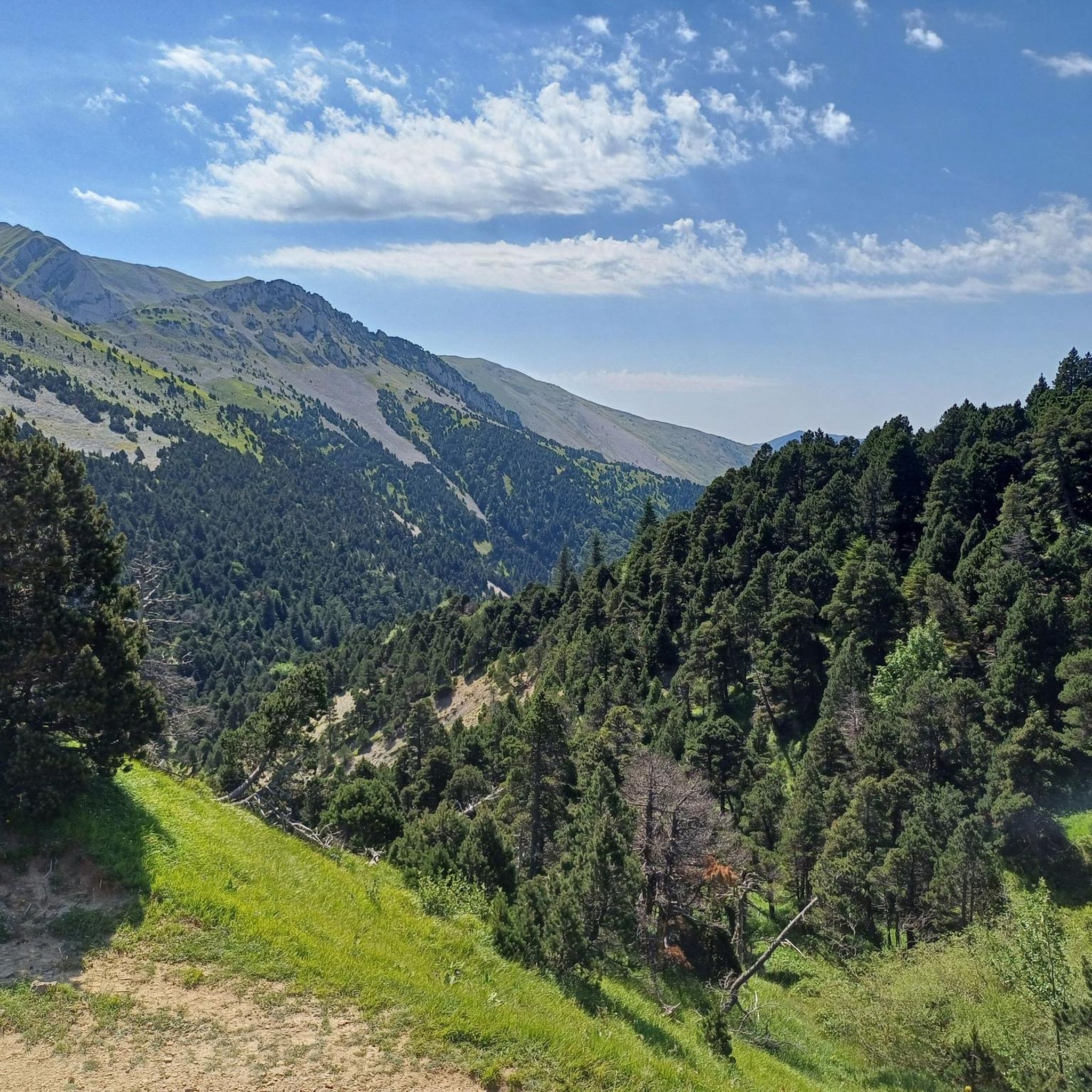
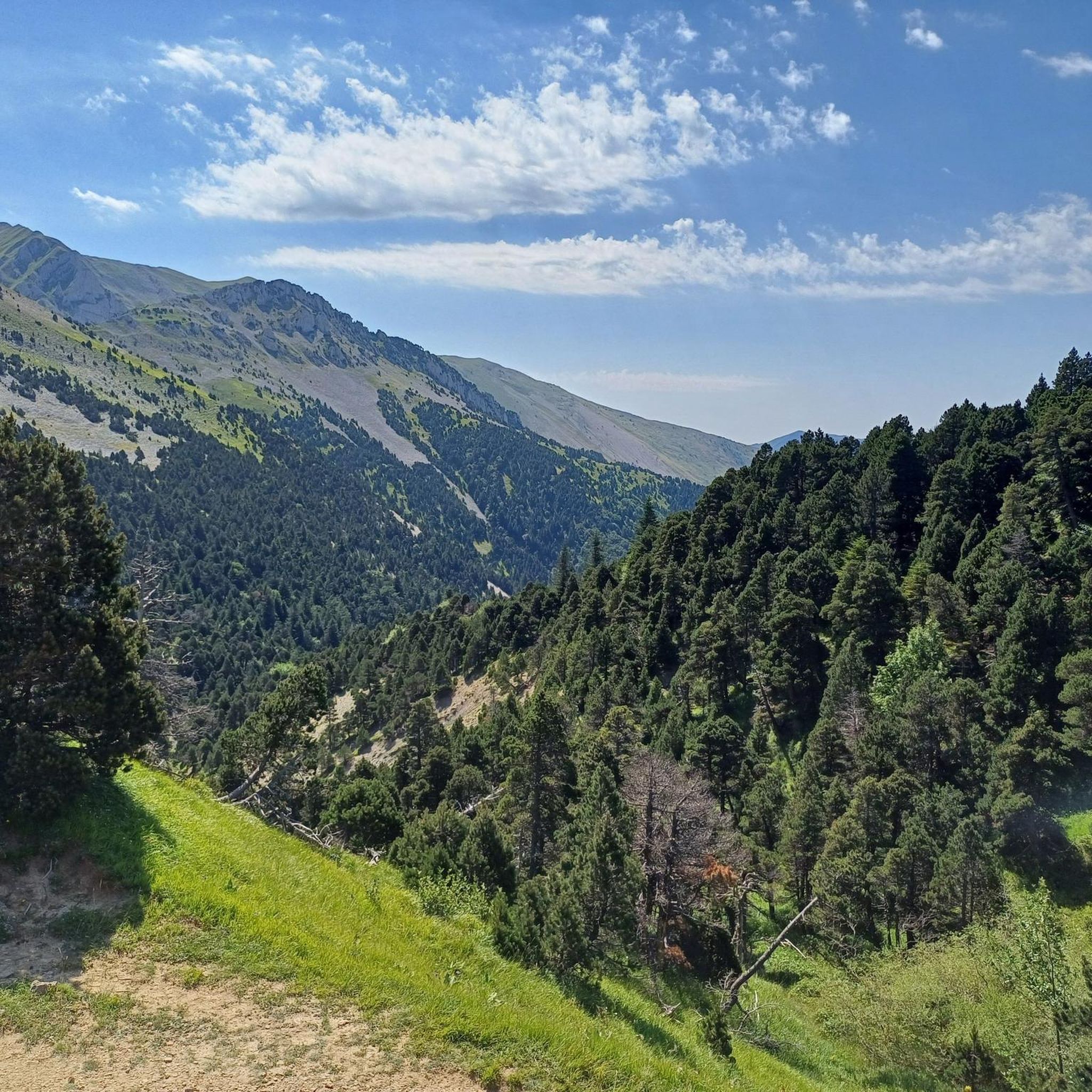
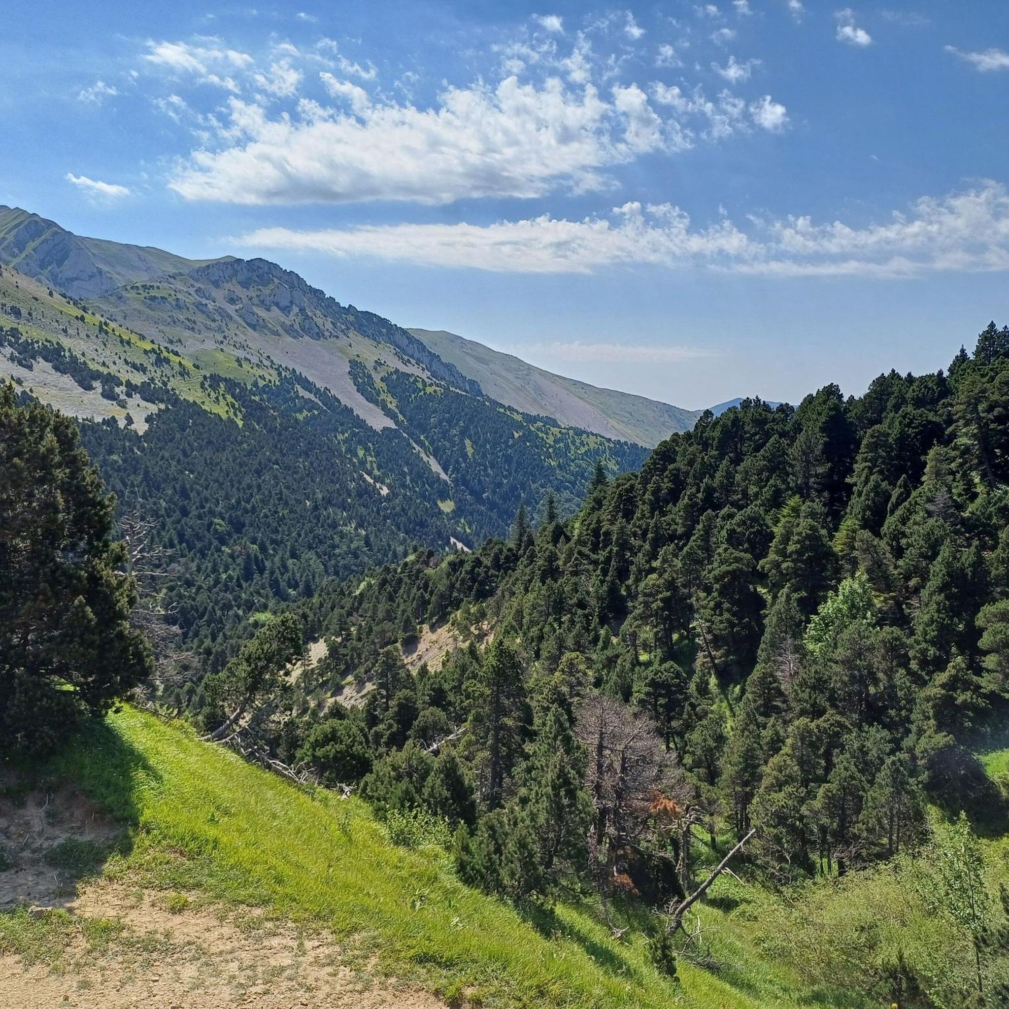
Col de Menée (1,402 m) is one of the most fascinating and scenic passes straddling the border between Drôme and Isère, right on the edge of the Vercors Regional Natural Park.
9
0
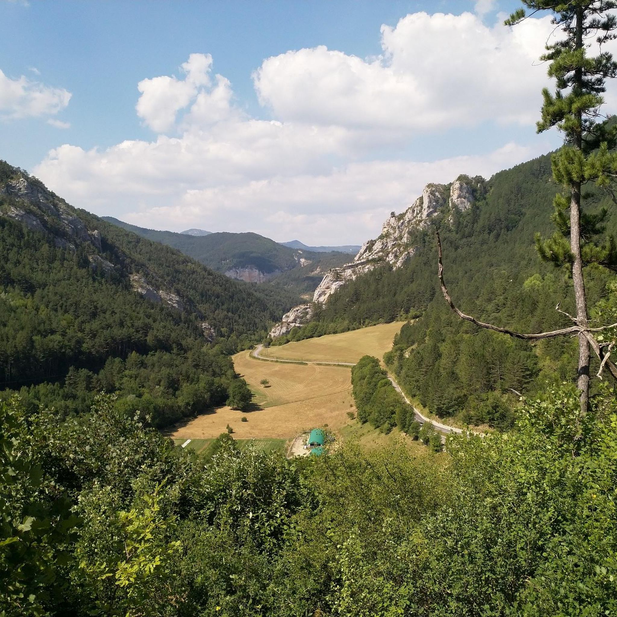
If you are looking for a road that combines the adrenaline of driving with a primordial landscape, the Gorges des Gâts are a must-see stop in the south of the Vercors. This incredible canyon, about 10 kilometers long, carved into the limestone rock by the Gats stream, connects the valley of Châtillon-en-Diois to the Col de Grimone. The route winds along a narrow and winding road that hugs vertical rock faces, crossing stone bridges and short tunnels dug directly into the rock. The view is impressive: the grandeur of the cliffs contrasts with the green of the vegetation and the blue of the stream flowing at the bottom of the gorge.
8
0

This detour up high offers superb views of the walls of the Gâts gorge.
0
0

magnificent little walk to do
0
0

Very charming little village in the heart of the Vercors on the road to the Col de Menée
0
0
Frequently Asked Questions
What is the general difficulty level of gravel biking trails around Glandage?
Gravel biking around Glandage is primarily characterized by challenging routes. Out of the 10 available trails, 9 are rated as difficult, often involving significant elevation changes and mountain passes. There is one easier route available for those seeking a less strenuous ride.
Are there any beginner-friendly gravel bike trails in the Glandage area?
While most routes are challenging, there is one easier gravel bike trail available around Glandage. This route offers a good option for beginners or those looking for a more relaxed ride, allowing you to experience the region's beauty without the intense climbs.
What kind of terrain can I expect on gravel bike routes near Glandage?
The terrain around Glandage is diverse, featuring a mix of valleys, challenging mountain passes, and forested sections. You'll encounter varied surfaces typical of gravel biking, with routes often including significant elevation changes characteristic of the Diois region.
What are some notable viewpoints or natural attractions along the gravel bike trails?
Many routes offer expansive views, especially those navigating mountain passes. For specific natural highlights, consider exploring areas near Pié Ferré (Le Dôme) or the scenic Gorges des Gâts. The Col de Menée Vulture Observation Point also offers unique vistas.
Are there any historical or cultural landmarks to see while gravel biking in Glandage?
Yes, the region offers interesting landmarks. The charming settlement of Châtillon-en-Diois is a common starting point for many routes and is worth exploring. You might also encounter the Pas de l'Aiguille Memorial or the Chaumailloux Refuge, offering glimpses into the area's history and mountain culture.
What is the typical length and duration of gravel bike trails in Glandage?
Gravel bike trails in Glandage vary in length and duration. You can find routes ranging from approximately 17.7 miles (28.6 km) to 35.7 miles (57.4 km). Durations typically range from around 3 hours 42 minutes for shorter, difficult routes to over 5 hours for longer, more challenging ones, depending on your pace and the elevation.
Are there any good loop trails for gravel biking around Glandage?
Yes, all the listed gravel bike routes around Glandage are loop trails, making them convenient for starting and ending at the same point. For example, the Die – The town center loop from Châtillon-en-Diois offers a circular journey through the area.
Where are common starting points or trailheads for gravel biking in Glandage?
Many popular gravel bike routes in the Glandage area start from Châtillon-en-Diois, a central hub in the region. Another starting point for some trails is Treschenu-Creyers, offering access to routes like the Les Nonières loop from Treschenu-Creyers.
What do other gravel bikers say about the trails in Glandage?
The gravel biking routes in Glandage are highly rated by the komoot community, with an average score of 4.6 stars from over 5 reviews. Riders often praise the challenging mountain passes, varied terrain, and the expansive views encountered along the trails.
Can I find longer, more challenging gravel bike routes in Glandage?
Absolutely. For experienced riders seeking a significant challenge, routes like the Miscon Pass – Miscon Pass loop from Châtillon-en-Diois stand out. This route covers approximately 35.7 miles (57.4 km) with over 2000 meters of elevation gain, offering a demanding and rewarding experience.
Is Glandage suitable for family-friendly gravel biking?
Given that most routes around Glandage are rated as difficult with significant elevation, it might be challenging for younger children or families new to gravel biking. However, the single easier route available could be a suitable option for families looking for a less strenuous experience.
Most popular attractions around Glandage

Get inspired with the komoot mobile app


Explore more
Browse the best Gravel rides in other regions.
