The best road cycling routes around Glandage
4.6
(130)
2,391
riders
43
rides
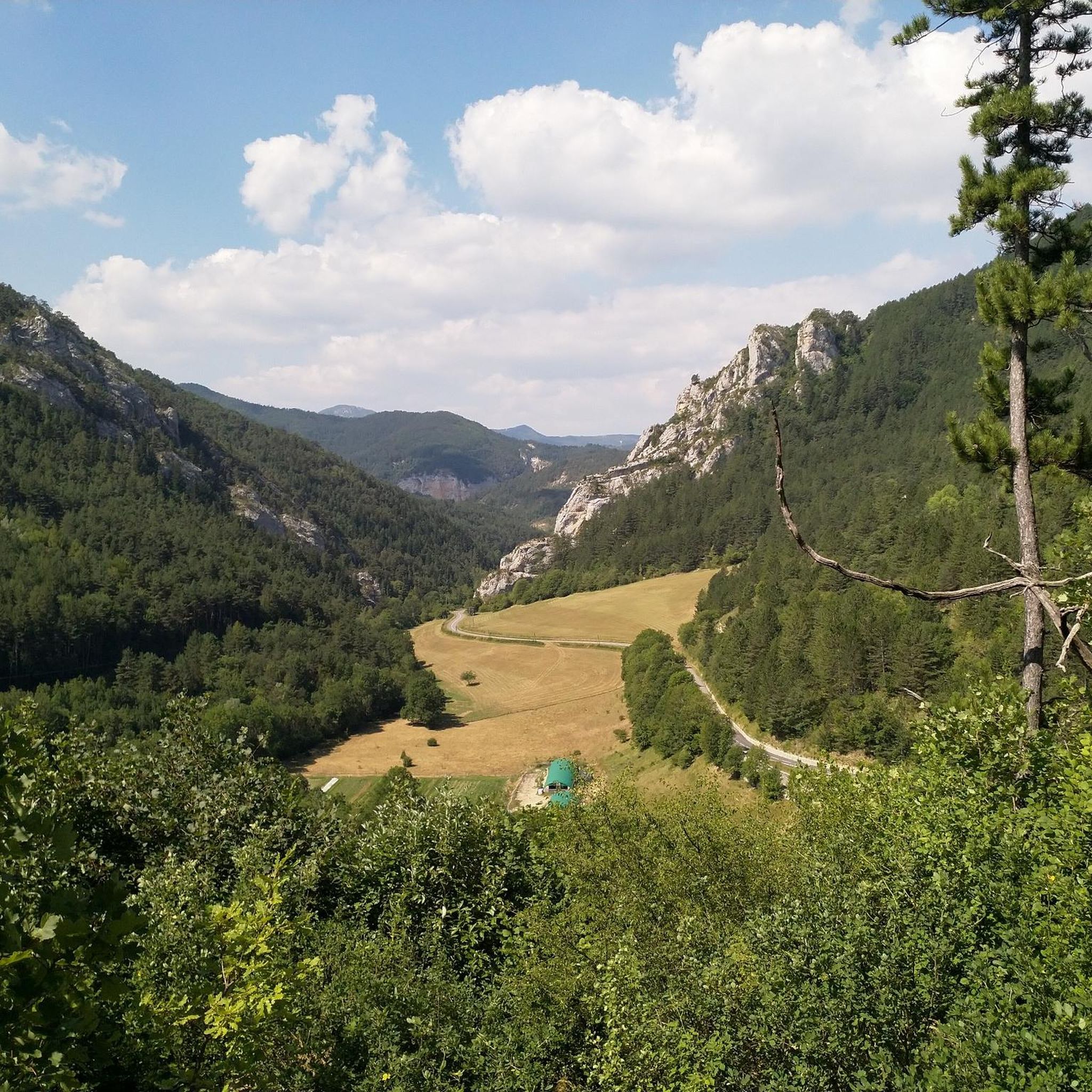
Road cycling routes around Glandage are set within the Drôme department of southeastern France, offering a diverse and striking natural landscape. The region is characterized by significant elevation changes, ranging from 717 to 2,045 meters, providing varied terrain for cyclists. Mountainous environments feature peaks like Le Jocou and Toussière, alongside unique geological formations such as Les Sucettes de Borne. Cyclists encounter diverse forests, from semi-Mediterranean pine to lush mixed woodlands, and dramatic natural amphitheaters like the Cirque d'Archiane.
Best road…
Last updated: October 4, 2026
4.6
(14)
152
riders
51.9km
02:38
870m
870m
This moderate 32.3 miles (51.9 km) road cycling route in Trièves offers panoramic mountain views and charming villages.
5.0
(9)
138
riders
61.6km
03:38
1,450m
1,450m
Hard road ride. Very good fitness required. Mostly well-paved surfaces and easy to ride.

5.0
(1)
30
riders
161km
08:05
2,650m
2,650m
Hard road ride. Very good fitness required. Mostly well-paved surfaces and easy to ride.
5.0
(1)
30
riders
36.4km
01:50
600m
600m
Moderate road ride. Good fitness required. Some segments of this route may be unpaved and difficult to ride.
4.7
(3)
45
riders
32.1km
01:41
600m
600m
Moderate road ride. Good fitness required. Mostly well-paved surfaces and easy to ride.
Get access to more routes and recommendations from other explorers.
Already have an account?
Our route recommendations are based on thousands of hikes, rides, and runs completed by other people on komoot.
Start today with a free account
Your next adventure awaits.

Tips from the Community

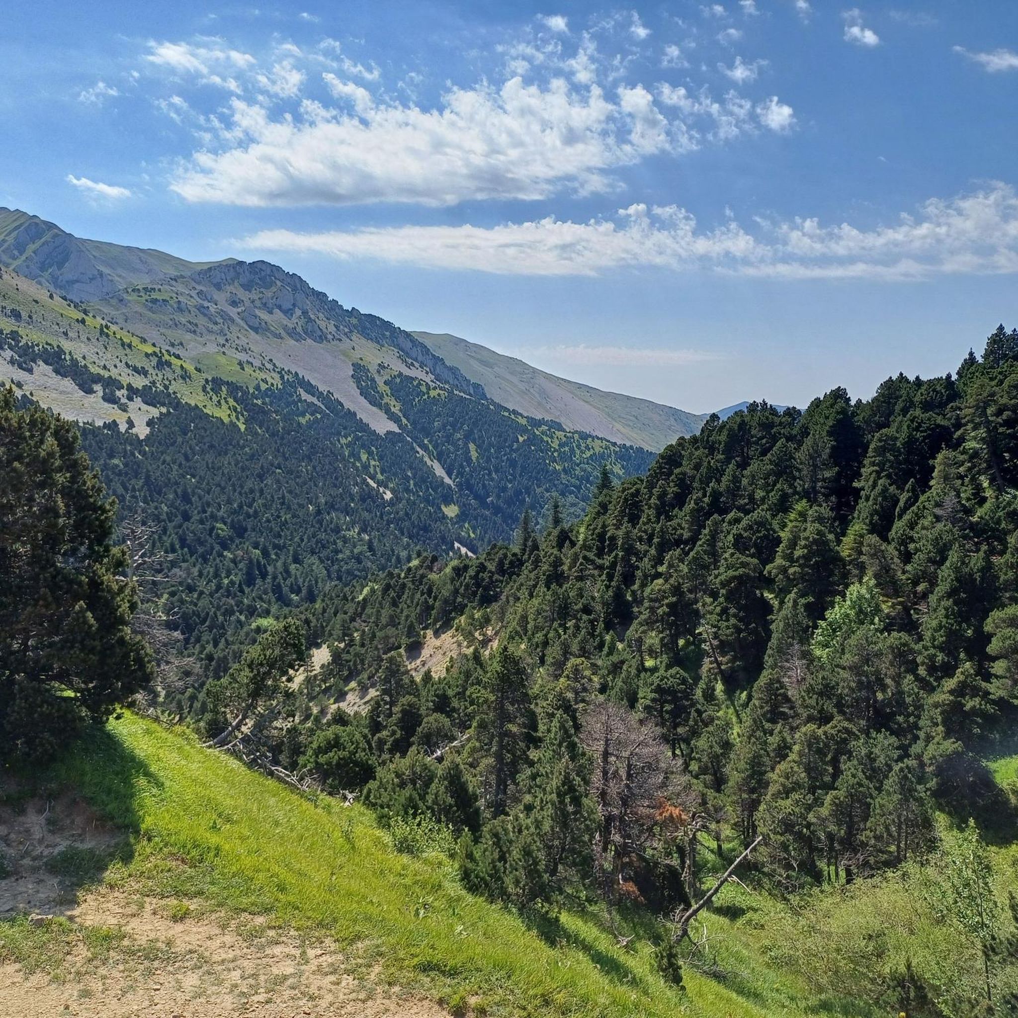
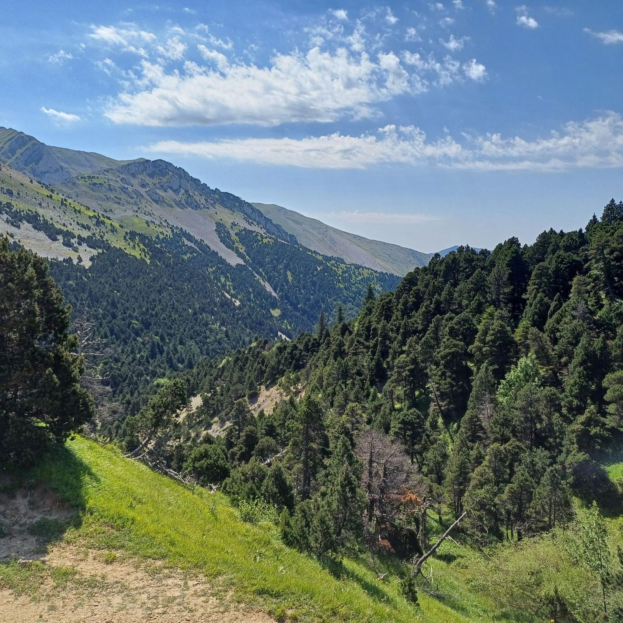
The Col de Menée (1,402 m) is one of the most fascinating and scenic passes straddling the Drôme and Isère, right on the border of the Vercors Regional Natural Park.
9
0
Col de Menée (1,402 m) is one of the most fascinating and scenic passes straddling the border between Drôme and Isère, right on the edge of the Vercors Regional Natural Park.
9
0
The Rocher de Combau is one of the most iconic and spectacular rock formations in the southern part of the Vercors Regional Natural Park, located in the Drôme department, France. This imposing limestone cliff overlooks the Vallon de Combau of the same name, offering a typical landscape of the Vercors high plateaus (Hauts Plateaux), characterized by immense high-altitude pastures that clash with dizzying vertical walls.
8
0
If you are looking for a road that combines the adrenaline of driving with a primordial landscape, the Gorges des Gâts are a must-see stop in the south of Vercors. This incredible canyon, about 10 kilometers long, carved into the limestone by the Gats stream, connects the valley of Châtillon-en-Diois to the Col de Grimone.The route winds along a narrow and winding road that hugs vertical rock faces, crossing stone bridges and short tunnels dug directly into the rock. The view is impressive: the grandeur of the cliffs contrasts with the green of the vegetation and the blue of the stream flowing at the bottom of the gorge.
8
0
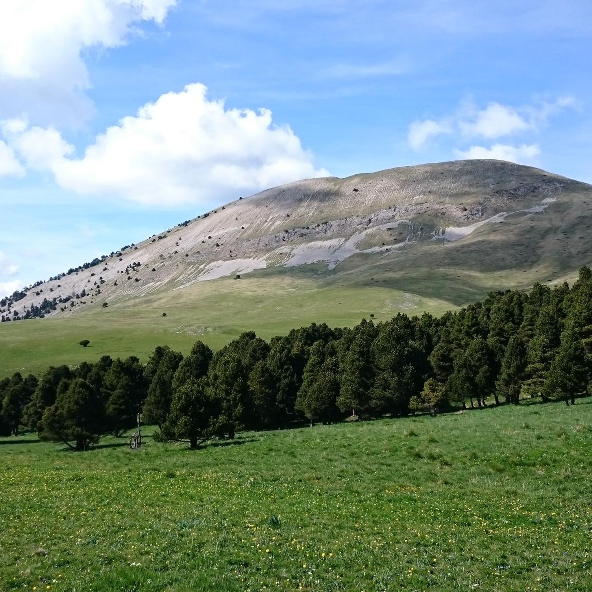
Col de Menée (1,457 m) is a mountain pass of rare beauty, serving as a geographical and climatic border between the regions of Trièves (more alpine and green) and Diois (with its first Provençal influences). Less busy than other nearby passes, it is a much-loved destination for road cyclists and cycle tourists due to the regularity of its gradients and the variety of landscapes.
8
0
One of the symbolic climbs of the Vercors. The road climbs through forests and rocky walls up to the pass, offering spectacular views of the Drôme valley. A very evocative climb, popular with cyclists, ideal for immersing yourself completely in the wild landscape of the Vercors.
10
0
Frequently Asked Questions
How many road cycling routes are available around Glandage?
Glandage offers a wide selection of road cycling routes, with over 35 options available. These routes cater to various skill levels, including easy, moderate, and difficult rides, ensuring there's something for every cyclist.
What is the typical difficulty level of road cycling routes in Glandage?
The road cycling routes in Glandage present a diverse range of difficulties. You'll find 4 easy routes, 20 moderate routes, and 13 challenging routes. This variety allows cyclists to choose paths that match their experience and fitness levels, from gentle rides to demanding ascents.
What kind of landscapes can I expect to see while road cycling in Glandage?
Road cycling in Glandage offers a striking natural landscape characterized by significant elevation changes and diverse scenery. You'll encounter mountainous terrain with prominent peaks like Le Jocou and Toussière, unique geological formations such as Les Sucettes de Borne, and dramatic natural amphitheaters like the Cirque d'Archiane. The routes also traverse varied forests, from semi-Mediterranean pine to lush mixed woodlands, providing shaded sections and changing vistas.
Are there any notable landmarks or natural features to see along the road cycling routes in Glandage?
Yes, Glandage is rich in natural landmarks. Along your rides, you might encounter impressive vertical rock formations like Les Sucettes de Borne, or the dramatic natural amphitheater of the Archiane Cirque. The Gorges des Gâts also offer a beautiful route with a river, enclosed landscapes, and tunnels. For those seeking mountain passes, highlights include Col de Grimone (1318 m) and Col du Banchet.
Can I find challenging climbs in Glandage?
Absolutely. Glandage is known for its mountainous environment and significant elevation changes, making it ideal for challenging road cycling climbs. The Col de Grimone is a notable climb in the area, featuring an average gradient of 4.9% and a total elevation gain of 1,477 feet, reaching an elevation of 4,319 feet. Many routes, like the Col de l'Allimas – Pont de Brion loop from Lus-la-Croix-Haute, offer substantial elevation gain and are classified as difficult.
What do other road cyclists enjoy the most about road cycling in Glandage?
The road cycling experience in Glandage is highly rated by the komoot community, with an average score of 4.6 stars from over 90 reviews. Cyclists often praise the diverse terrain, from challenging mountainous roads to scenic forest paths, and the stunning natural beauty of the Vercors Regional Nature Park. The unique geological formations and rewarding views from ascents are frequently highlighted.
Are there any circular road cycling routes in Glandage?
Yes, Glandage offers several circular road cycling routes. For instance, the Mens Pass – View of the Dévoluy Mountains loop from Lalley is a moderate 23.3-mile path, and the Col de l'Allimas – Pont de Brion loop from Lus-la-Croix-Haute provides a more difficult, longer option. Another choice is the Col du Banchet – Col du Banchet loop from Lalley, a moderate 29.7 km route.
Are there options for family-friendly road cycling in Glandage?
While many routes in Glandage feature significant elevation changes, there are 4 routes classified as easy, which may be more suitable for families or those seeking a less strenuous ride. These routes typically have gentler gradients and shorter distances. Always check the route details for elevation and distance to ensure it matches your family's capabilities.
Where can I park my car when cycling in Glandage?
Specific parking information for each route start point is often available within the individual komoot tour descriptions. Generally, you can find parking in the villages and towns around Glandage, such as Lalley or Lus-la-Croix-Haute, which serve as common starting points for many cycling routes. It's advisable to check local signage for any parking restrictions.
Are there any specific permits required for cycling in Glandage?
Generally, no specific permits are required for road cycling on public roads in Glandage or within the Vercors Regional Nature Park. However, always respect local regulations, especially when cycling through protected areas or private land. For detailed information on the region, you can consult the local tourism office at diois-tourisme.com.
Where can I find accommodation or places to eat near the cycling routes?
Glandage and the surrounding villages within the Pays Diois region offer various options for accommodation and dining. You can find hotels, guesthouses, and restaurants in nearby towns like Lus-la-Croix-Haute or Châtillon-en-Diois. These establishments often cater to outdoor enthusiasts, including cyclists. For more information on local services, you can visit the Diois Tourisme website.
Can I rent a bike in Glandage?
While Glandage itself is a small commune, bike rental services are typically available in larger towns within the Drôme department or the Vercors Regional Nature Park. It's recommended to check with tourism offices in nearby hubs or search online for bike rental shops in the wider region before your visit to secure a road bike for your adventures.
Most popular attractions around Glandage

Get inspired with the komoot mobile app


Explore more
Browse the best Road cycling routes in other regions.
