The best gravel rides in the Grand Mesa
3.0
(1)
22
riders
6
rides
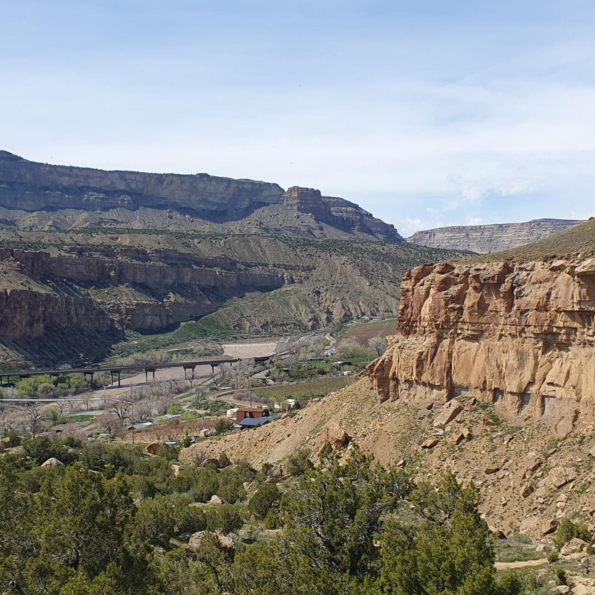
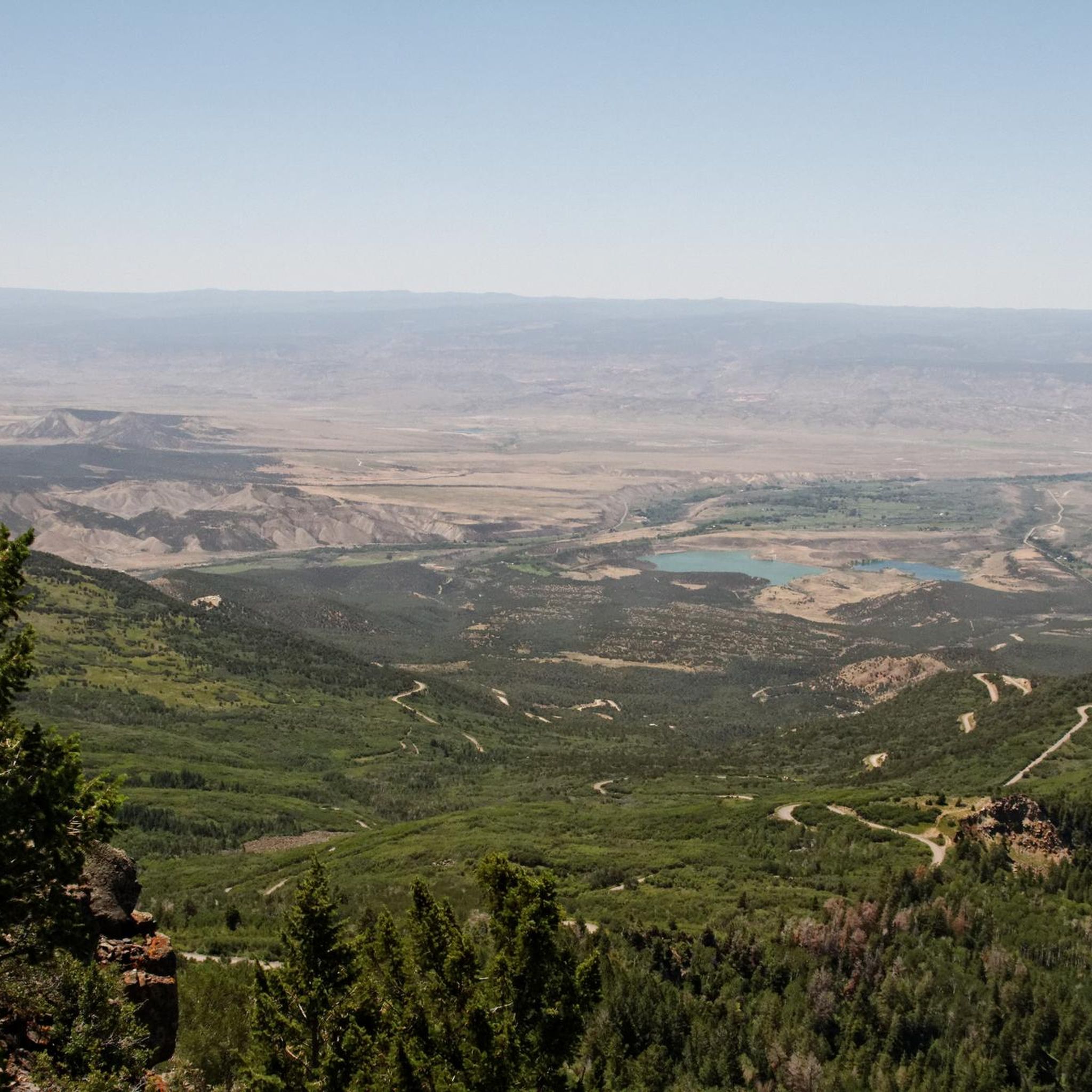
Gravel biking in the Grand Mesa offers diverse terrain across the world's largest flat-top mountain, rising nearly 6,000 feet above surrounding valleys. The region features an extensive network of roads and trails, including paved, gravel, and double-track options. Riders can experience varied climate zones supporting lush aspen forests, pine groves, and abundant wildflowers. Over 300 natural and man-made lakes dot the mesa, providing scenic backdrops for routes.
Best gravel bike trails in the Grand Mesa
- The most popular gravel bike trail is Carbondale loop via Rio Grande Trail, a 46.7 miles (75.2 km) trail that takes 5 hours 52 minutes to complete. This difficult route features significant elevation gain and varied surfaces.
- Another top favourite among local gravel bikers is Talbott's Market loop from Palisade, a moderate 13.0 miles (20.9 km) path. This route offers a mix of gravel and paved sections through scenic agricultural areas.
- Local gravel bikers also love the Carbondale – Satank Bridge loop from Carbondale, a 40.2 miles (64.7 km) trail leading through river valleys and open landscapes, often completed in about 4 hours 18 minutes.
- Gravel biking in the Grand Mesa is defined by flat-top mountain plateaus, diverse forests, and numerous lakes. The network offers options for different ability levels, from moderate loops to challenging climbs.
- The routes in Grand Mesa are highly rated by the komoot community with an average score of 3.0 stars from over 1 reviews. More than 27 gravel bikers have used komoot to explore Grand Mesa's varied terrain.
Last updated: October 12, 2026
75.2km
05:53
1,230m
1,230m
The Carbondale loop via Rio Grande Trail offers a challenging and scenic gravel biking experience through the Roaring Fork Valley. You'll traverse a mix of asphalt and compacted gravel, with significant climbs that lead to breathtaking views of the Roaring Fork River and the iconic Mount Sopris. It's a demanding 46.7-mile (75.2 km) journey that truly showcases the region's natural beauty.
Rated as difficult, this loop involves a substantial 4039 feet (1231 metres) of elevation gain and typically takes around 5 hours and 52 minutes. It requires very good fitness, so plan accordingly. Starting from Carbondale, ensure you're well-prepared with water and supplies, especially during warmer weather, as the full loop extends beyond the gentler sections of the main Rio Grande Trail.
This route is a highlight for gravel enthusiasts, combining the historic rails-to-trails corridor of the Rio Grande Trail with more rugged dirt roads. It acts as a cycling spine for the valley, connecting communities and offering a rich mix of Colorado's diverse landscapes. The varied terrain, including "Colorado Champagne gravel," makes it a rewarding adventure for those seeking a demanding ride.
4
riders
77.3km
05:06
1,450m
1,450m
Hard gravel ride. Very good fitness required. Mostly paved surfaces. Suitable for all skill levels.

3.0
(1)
2
riders
20.9km
01:35
390m
390m
Moderate gravel ride. Good fitness required. Mostly paved surfaces. Suitable for all skill levels.
10
riders
63.7km
04:15
820m
820m
Hard gravel ride. Very good fitness required. Mostly paved surfaces. Suitable for all skill levels.
4
riders
77.3km
05:11
1,120m
1,120m
Hard gravel ride. Very good fitness required. Mostly paved surfaces. Suitable for all skill levels.
2
riders
58.8km
04:39
1,360m
1,360m
Hard gravel ride. Very good fitness required. Mostly paved surfaces. Suitable for all skill levels.
Our route recommendations are based on thousands of hikes, rides, and runs completed by other people on komoot.
Start today with a free account
Your next adventure awaits.
Other adventures in the Grand Mesa

Tips from the Community

From this pedestrian bridge, you can enjoy a view above the Roaring Fork River. Here is the connection between the Rio Grande Trail and the Atkinson Canal Trail. This is an easy walk/bike trail that runs alongside the river. Rio Grande Trail connects Glenwood Springs to Aspen, so you can choose your distance and go for as long as you like.
0
0

The Rio Grande Trail is 42 miles between Glenwood Springs and Aspen. The trail is fully paved and traffic-free, except for crossings at intersections. This is a beautiful section that takes you into Carbondale.
0
0

The Roaring Fork River is a fast-flowing and crystal-clear tributary of the Colorado River, extending for 70 miles through stunning canyons and valleys. It begins at Independence Lake in the Sawatch Range and winds its way past the towns of Aspen, Basalt, and Carbondale before it merges with the Colorado River in Glenwood Springs. Known for its fast and exciting currents, the river attracts many thrill-seekers and is a prime spot for whitewater rafting.
0
0
From this pedestrian bridge, you can enjoy a view above the Roaring Fork River. Here is the connection between the Rio Grande Trail and the Atkinson Canal Trail. This is an easy walk/bike trail that runs alongside the river. Rio Grande Trail connects Glenwood Springs to Aspen, so you can choose your distance and walk for as long as you like.
0
0

Satank Bridge spans the Roaring Fork River and was constructed in a style to resemble the period of wagon bridges. On the bridge, you have a view up the Elk Scenic Corridor and a backdrop of majestic Mount Sopris. The bridge is also called "pink bridge" due to the pink hue it takes at sunset.
0
0

This section of Upper Cattle Creek Road takes you past Spring Park Reservoir on relatively smooth, hard-packed gravel. It is doable on a road bike, but you might want slightly fatter tires (~28mm and up) for a more comfortable ride.
0
0

The Rio Grande Trail is a paved bike path which parallels the highway and Roaring Fork River here between Carbondale and Glenwood Springs. There are public restrooms off the trail near the middle of this segment. From the trail you get splendid views of the canyons and rivers.
1
0

Carbondale is a picturesque town located at the base of Mt. Sopris and confluence of the Crystal and Roaring Fork Rivers. National Geographic Adventure Magazine has ranked it as one of "The Top 10 Adventure Towns in the U.S.", so there is no shortage of outdoor activities. It is also a "Certified Colorado Creative District", so it has a vibrant art scene as well.
1
0
Frequently Asked Questions
How many gravel bike trails are available in Grand Mesa?
Grand Mesa offers a network of 7 gravel bike trails, ranging from moderate to difficult. These routes provide diverse terrain across the world's largest flat-top mountain.
What kind of terrain can I expect on Grand Mesa gravel trails?
You'll find a mix of terrain, from smooth, hard-packed gravel to sections with loose or chunky gravel, and even some double-track options. The routes transition through varied landscapes, from desert to alpine and tundra meadows, offering a dynamic riding experience.
What is the best time of year for gravel biking in Grand Mesa?
Summer and fall are particularly popular for gravel biking on Grand Mesa, offering vibrant wildflowers and stunning changing foliage. However, due to the dynamic elevation, diverse experiences are possible throughout the year, with some routes accessible even in shoulder seasons.
Are there any loop trails for gravel biking on Grand Mesa?
Yes, Grand Mesa features several loop options. For example, the Talbott's Market loop from Palisade is a moderate 13-mile route, and the Carbondale – Satank Bridge loop from Carbondale offers a longer 40-mile ride through river valleys.
Are there gravel biking routes suitable for beginners in Grand Mesa?
While many routes in Grand Mesa are rated difficult, there are moderate options available. The Talbott's Market loop from Palisade is a moderate 13-mile path that includes a mix of gravel and paved sections, making it a good choice for those newer to gravel biking.
What natural features or viewpoints can I see while gravel biking on Grand Mesa?
Grand Mesa is renowned for its breathtaking vistas. You can expect to see over 300 natural and man-made lakes, lush aspen forests, pine groves, and vibrant wildflowers. The Grand Mesa Scenic and Historic Byway and Lands End Road offer spectacular views extending to the La Sal Mountains of Utah and the San Juan Mountains of Colorado.
Are there any lakes I can visit along gravel biking routes?
Absolutely. Grand Mesa is dotted with numerous lakes. While specific routes may vary, you can explore highlights like Mesa Lake, Corn Lake, or Flowing Park Reservoir, which are popular spots for their scenic beauty.
Are there family-friendly gravel biking routes in Grand Mesa?
While the guide focuses on more challenging routes, the extensive network of roads on Grand Mesa includes options suitable for families. Look for routes with less elevation gain and smoother surfaces, often found on the lower sections or around some of the numerous lakes.
Can I bring my dog on Grand Mesa gravel bike trails?
Many areas within the Grand Mesa National Forest are dog-friendly, but regulations can vary by specific trail or protected area. It's always best to check local signage or the Grand Mesa National Forest website for the most current rules regarding pets on trails.
Where can I find cafes or restaurants near Grand Mesa gravel trails?
For amenities, you'll find options in nearby towns surrounding Grand Mesa. Cedaredge, Collbran, and Mesa, Colorado, offer various cafes and restaurants where you can refuel after your ride.
Is public transport available to Grand Mesa trailheads?
Public transport options directly to Grand Mesa trailheads are generally limited. Most visitors access the area by car. Consider checking local shuttle services or ride-sharing options if you do not have personal transportation.
What do other gravel bikers enjoy most about Grand Mesa?
The Grand Mesa routes are highly rated by the komoot community, with an average score of 3.0 stars. Riders frequently praise the immersive experience in nature, the quiet roads, the diverse ecosystems, and the spectacular views, especially from high-elevation points like those found on the Carbondale loop via Rio Grande Trail.
Where can I park for gravel biking on Grand Mesa?
Parking is generally available at various trailheads and access points throughout the Grand Mesa National Forest. Many scenic pull-offs and designated recreation areas offer parking. Always ensure you are parking in an authorized spot and not blocking any roads or access points.
Most popular routes in the Grand Mesa
Most popular attractions in the Grand Mesa

Get inspired with the komoot mobile app


Explore more
Browse the best Gravel rides in other regions.
