The best road cycling routes in the Grand Mesa
4.5
(26)
2,116
riders
20
rides
Road cycling routes in the Grand Mesa traverse the world's largest flat-top mountain, offering diverse landscapes and significant elevation changes. This region is characterized by its high-altitude plateau, dotted with over 300 alpine lakes and surrounded by lush aspen and pine forests. Cyclists encounter varied terrain, from challenging ascents on scenic byways to more gentle rides through valleys. The geological formation, a result of ancient volcanic activity, provides a unique backdrop for road cycling.
Best road cycling routes in the…
Last updated: October 11, 2026
1
riders
43.0km
01:58
470m
470m
Pedal through Garfield County's picturesque landscape on the Rifle to Rifle Gap Reservoir and Falls route, a moderate 26.7-mile (43.0 km) road cycling adventure. You'll enjoy scenic views of Rifle…
65.0km
03:09
930m
930m
Cycle 40.4 miles (65.0 km) from Paonia State Park to McClure Pass on a difficult road ride through Gunnison National Forest.

73.1km
03:40
1,220m
1,220m
The Rifle to Parachute loop offers a truly diverse road cycling experience, taking you on a journey through Colorado's Garfield County. You'll pedal along the Colorado River corridor, then ascend…
5.0
(2)
57
riders
72.8km
03:25
160m
160m
Moderate road ride. Good fitness required. Some segments of this route may be unpaved and difficult to ride.
4.0
(2)
32
riders
51.7km
02:37
100m
100m
Moderate road ride. Good fitness required. Mostly well-paved surfaces and easy to ride.
42
riders
45.4km
02:10
500m
500m
Moderate road ride. Good fitness required. Some segments of this route may be unpaved and difficult to ride.
16
riders
Moderate road ride. Good fitness required. Some segments of this route may be unpaved and difficult to ride.
15
riders
23.4km
01:22
60m
60m
Moderate road ride. Great for any fitness level. Some segments of this route may be unpaved and difficult to ride.
11
riders
54.9km
03:15
1,270m
1,270m
Hard road ride. Very good fitness required. Mostly well-paved surfaces and easy to ride.
10
riders
49.2km
02:25
720m
720m
Moderate road ride. Good fitness required. Some segments of this route may be unpaved and difficult to ride.
Get access to more routes and recommendations from other explorers.
Already have an account?
Our route recommendations are based on thousands of hikes, rides, and runs completed by other people on komoot.
Start today with a free account
Your next adventure awaits.
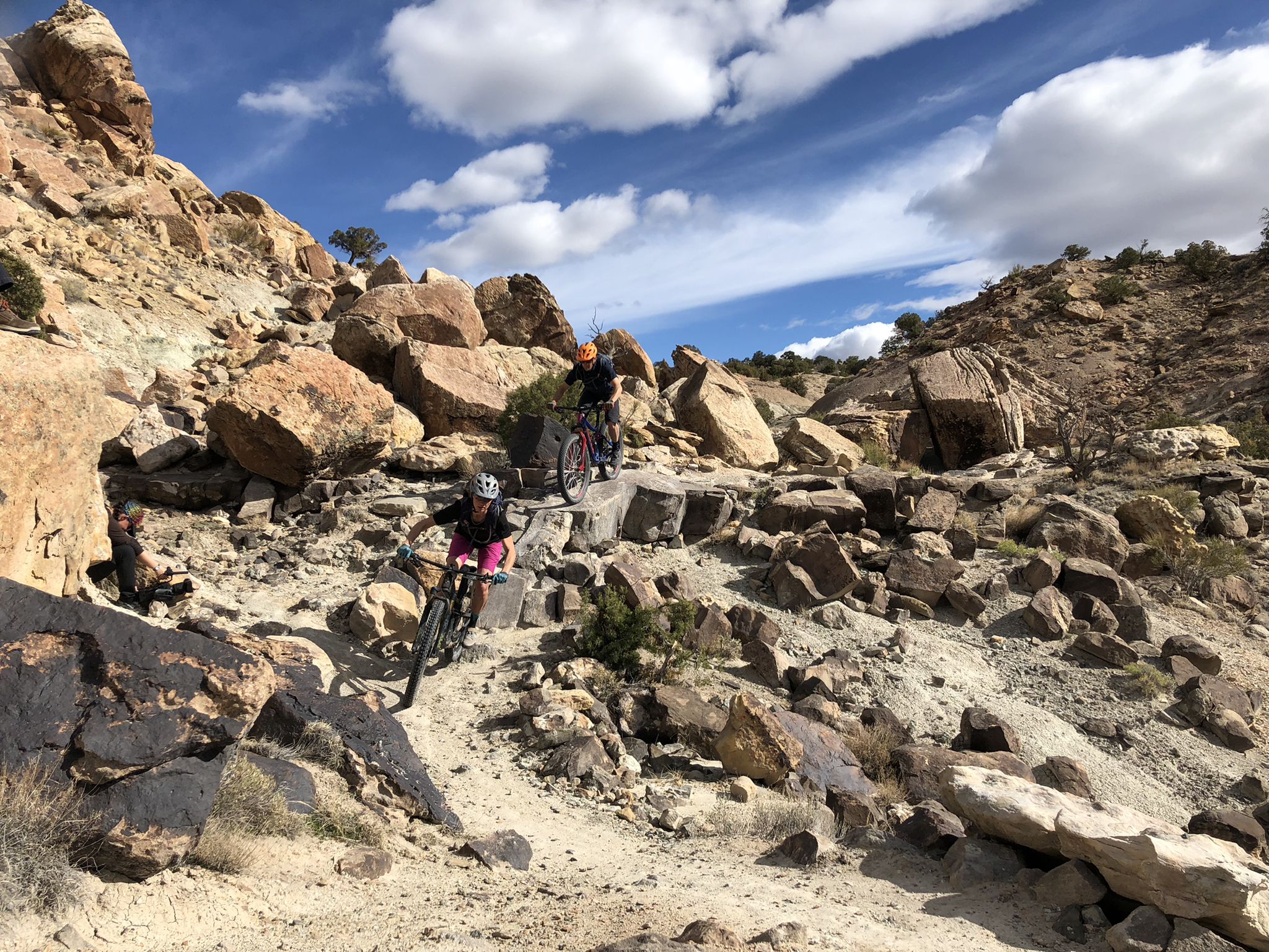
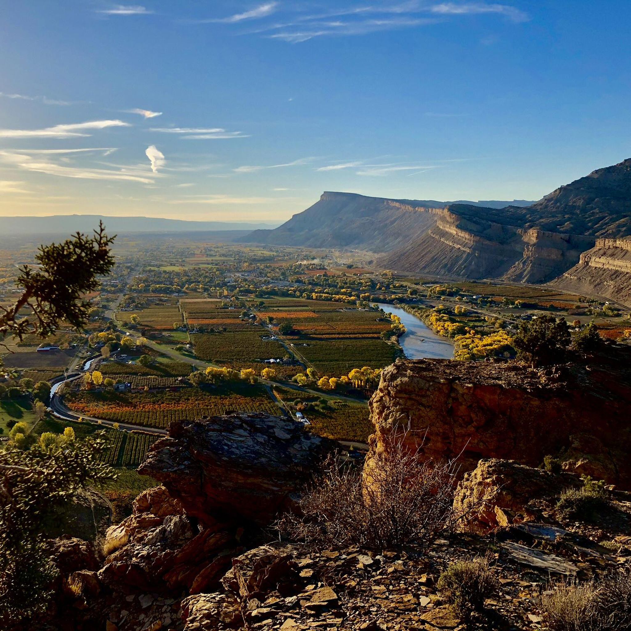
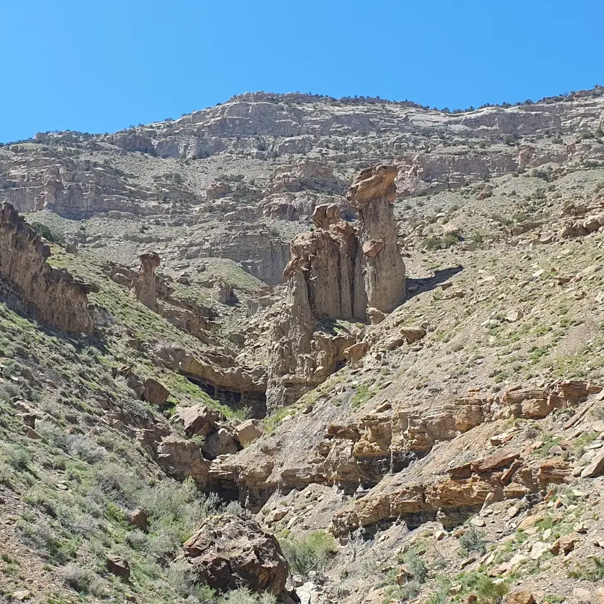
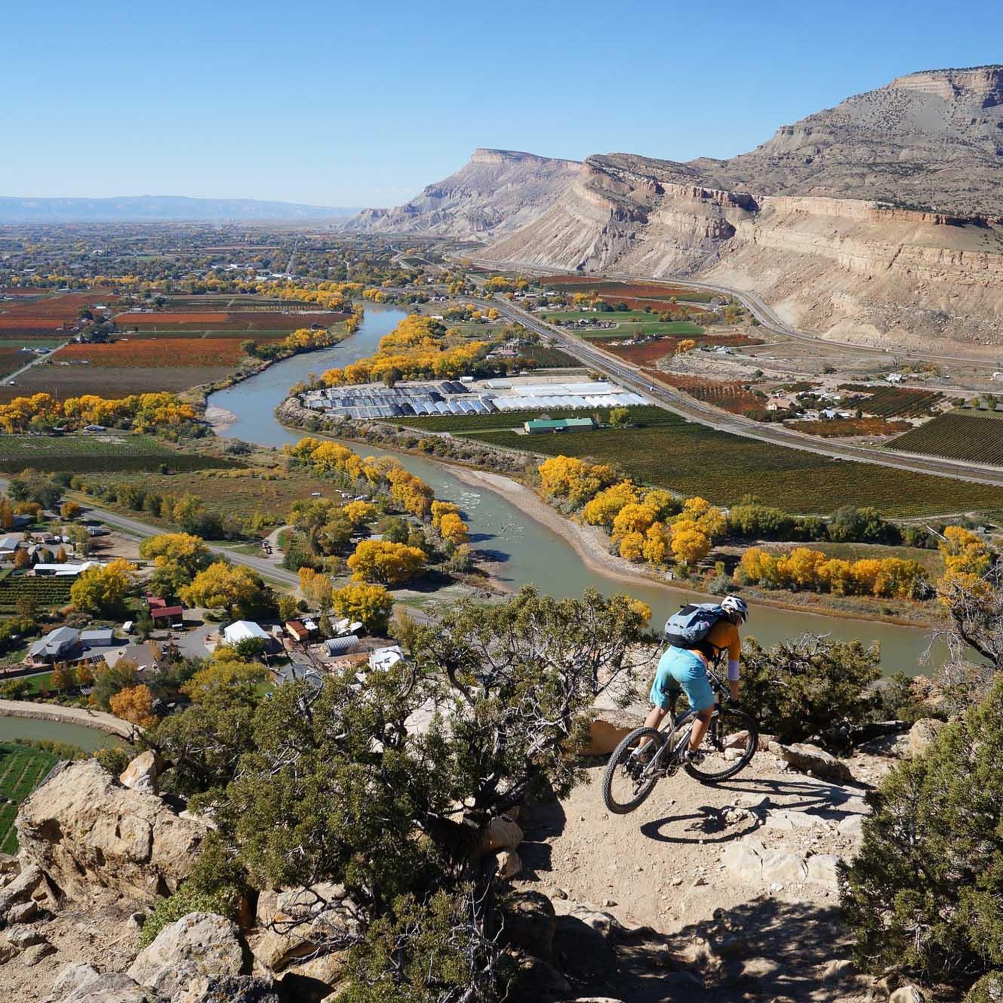
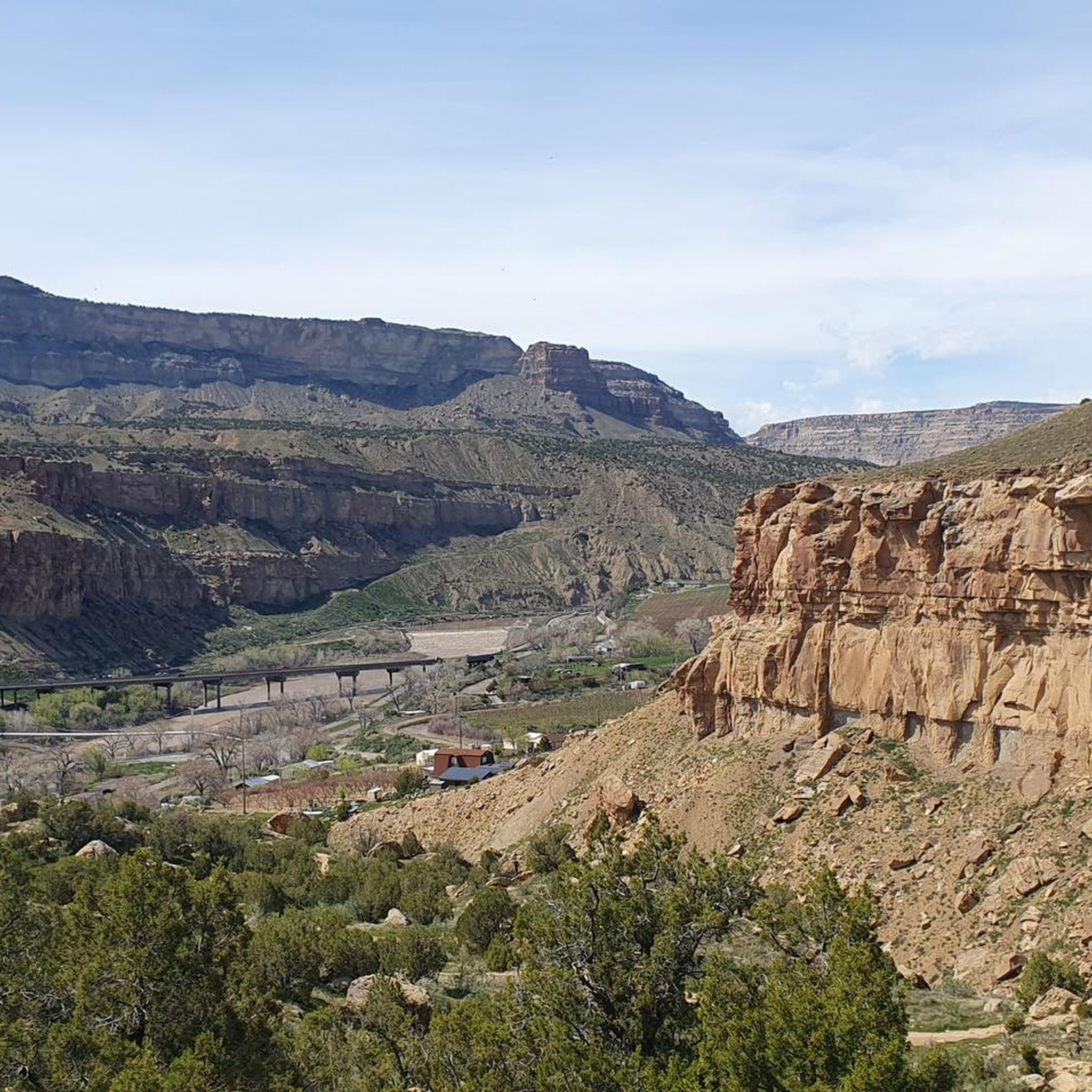
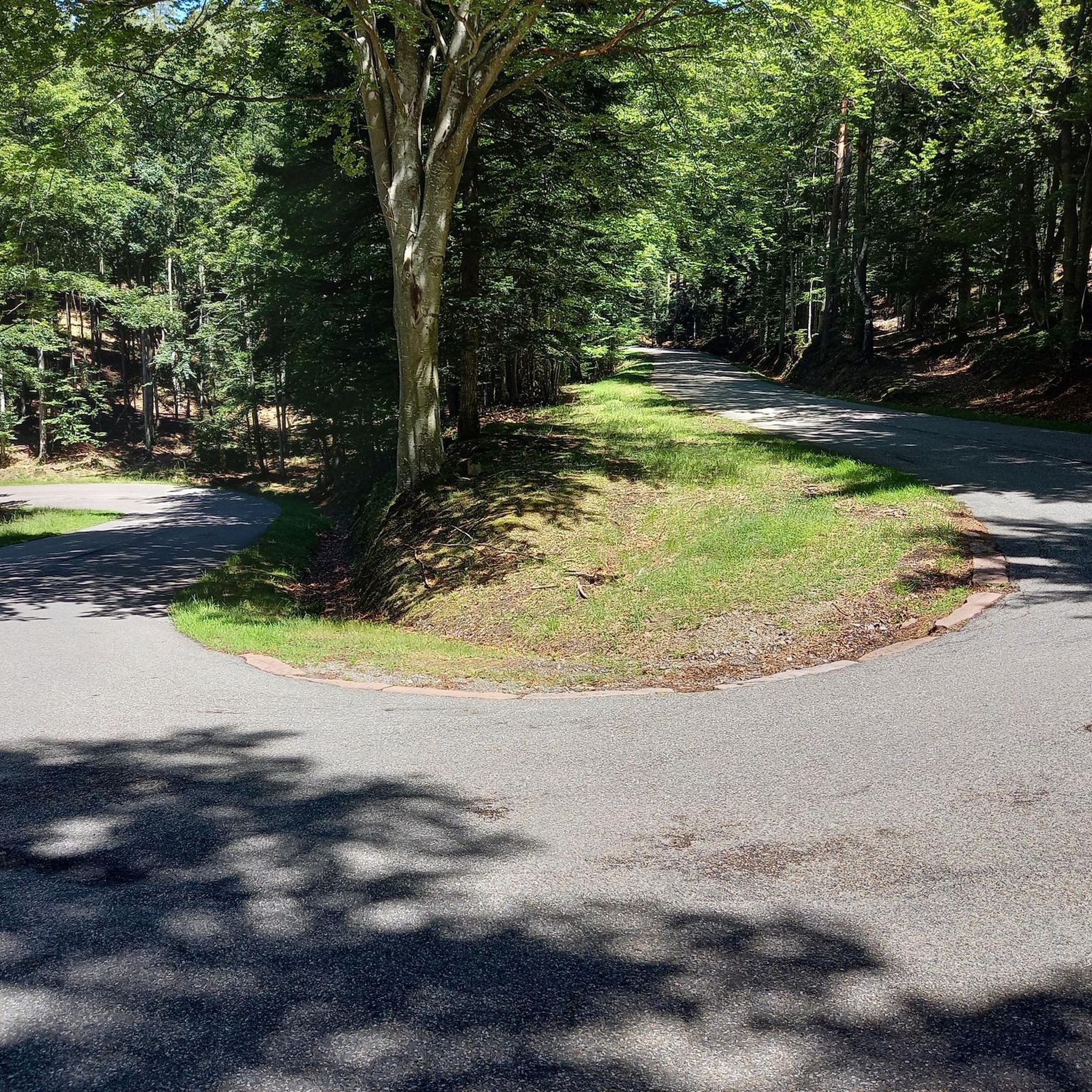
Other adventures in the Grand Mesa

Tips from the Community

Truly beautiful. You can see almost all sides of this waterfall via the hike.
1
0

From this pedestrian bridge, you can enjoy a view above the Roaring Fork River. Here is the connection between the Rio Grande Trail and the Atkinson Canal Trail. This is an easy walk/bike trail that runs alongside the river. Rio Grande Trail connects Glenwood Springs to Aspen, so you can choose your distance and go for as long as you like.
0
0

The Roaring Fork River is a fast-flowing and crystal-clear tributary of the Colorado River, extending for 70 miles through stunning canyons and valleys. It begins at Independence Lake in the Sawatch Range and winds its way past the towns of Aspen, Basalt, and Carbondale before it merges with the Colorado River in Glenwood Springs. Known for its fast and exciting currents, the river attracts many thrill-seekers and is a prime spot for whitewater rafting.
0
0
Las Colonias Park is a lovely riverside spot along the Colorado River and the Riverfront Trail. You’ll find picnic shelters, restrooms, a dog park, playgrounds, and an amphitheater that hosts concerts and events. Take a moment to explore the butterfly-shaped pond or rent a kayak or paddleboard nearby. Swimming isn’t allowed in the ponds, but it’s a great place to relax and enjoy some fresh air before getting back on your ride. You can also access the Western Colorado Botanical Gardens right from the park.
0
0
Ward Creek Reservoir sits just off Highway 65. Take a short detour to stretch your legs, spot birds, and enjoy views of the aspens and calm waters. A few kilometers further, you’ll reach Ward Lake Campground, a great place to spend the night.
0
0
The Riverfront Trail is a paved path that runs alongside the Colorado River, passing several lakes, including Corn Lake. It offers beautiful views of the surrounding mountains and is known for its rich wildlife, while riding you might spot various bird species, including blue herons.
1
0
Cobbett Lake is just off Highway 65 on the Grand Mesa Scenic Byway. It’s an ideal spot for a short break during your ride, with shaded areas and views of the surrounding spruce forest. The adjacent Cobbett Lake Campground offers amenities like picnic tables and vault toilets, and it’s a good option if you’re planning an overnight trip. From the campground, you can also access other lakes and several hiking trails.
0
0
From this pedestrian bridge, you can enjoy a view above the Roaring Fork River. Here is the connection between the Rio Grande Trail and the Atkinson Canal Trail. This is an easy walk/bike trail that runs alongside the river. Rio Grande Trail connects Glenwood Springs to Aspen, so you can choose your distance and walk for as long as you like.
0
0
Frequently Asked Questions
How many road cycling routes are there in Grand Mesa?
The Grand Mesa region offers over 20 dedicated road cycling routes. These routes cater to various skill levels, from moderate valley rides to challenging mountain ascents, all set against the backdrop of the world's largest flat-top mountain.
What is the best time of year for road biking in Grand Mesa?
The ideal time for road cycling in Grand Mesa is typically from late spring through early fall. During these months, you'll experience cooler temperatures at higher elevations compared to the lower valleys, vibrant wildflowers in summer, and stunning golden aspens in the fall. Always check local weather conditions before heading out.
Are there any beginner-friendly road cycling routes in Grand Mesa?
While many routes on Grand Mesa involve significant climbs, there are more accessible options. For a relatively easy experience, consider the scenic 20-mile out-and-back ride through the Plateau Valley Canyon, which follows a river with towering cliffs. Routes like Clifton Nature Park – Corn Lake loop from Clifton are also rated as moderate and offer less elevation gain.
What are some challenging road cycling routes in Grand Mesa?
Grand Mesa is renowned for its challenging ascents. The north side offers a particularly difficult climb, gaining over 6,100 feet over 21.4 miles with a 5% average grade. A notable route for experienced cyclists is the Grand Mesa North Climb – Mesa Lake loop from Truck Emergency, which covers over 109 km and features nearly 2,000 meters of elevation gain.
Are there any family-friendly road cycling options in Grand Mesa?
For families looking for a less strenuous ride, consider routes that stick to lower elevations or flatter sections. While the main mesa climbs are challenging, the Plateau Valley Canyon offers a gentler experience. Always assess the route's distance and elevation profile to ensure it matches your family's comfort and skill levels.
What scenic viewpoints can I expect along Grand Mesa road cycling routes?
Road cycling in Grand Mesa offers continuous stunning views. The Grand Mesa Scenic and Historic Byway (Highway 65) provides vistas of alpine lakes, forests, and geological formations. For panoramic views extending over 70 miles to the La Sal Mountains of Utah and the San Juan Mountains, consider the Lands End Road, which also features View of the Cliffs on Flowing Park Trail.
Where can I find parking for road biking in Grand Mesa?
Parking availability varies depending on your chosen starting point. Many routes begin in towns surrounding the mesa or at designated trailheads along the Grand Mesa Scenic Byway. For specific routes, check the komoot tour details for trailhead access information. Some popular starting points include areas near Rifle, Palisade, and Cedaredge.
Are there any road bike loop routes in Grand Mesa?
Yes, there are several loop routes available for road cyclists. For example, the Rifle to Parachute loop is a 73 km trail that offers varied terrain. Another option is the Clifton Nature Park – Corn Lake loop from Palisade, which is a moderate 50 km ride.
What kind of wildlife might I spot while road biking in Grand Mesa?
Grand Mesa's diverse ecosystems, spanning seven distinct biomes, support a wide array of plant and animal life. While cycling, you might encounter moose, deer, and elk, especially in the quieter, forested areas. Keep an eye out for various bird species around the numerous alpine lakes.
What do other road cyclists enjoy most about road cycling in Grand Mesa?
The Grand Mesa region is highly rated by the komoot community, with an average score of 4.6 stars from over 10 reviews. Cyclists frequently praise the diverse landscapes, from high-altitude plateaus and alpine lakes to dense forests, and the unique challenge of climbing the world's largest flat-top mountain. The continuous stunning views are also a major highlight.
What attractions are near the road cycling routes in Grand Mesa?
Beyond the cycling itself, Grand Mesa offers numerous attractions. You can visit Mesa Lake or Corn Lake, explore parts of the Crag Crest Trail, or enjoy views of the Roaring Fork River. The area is dotted with over 300 alpine lakes and offers opportunities for hiking and other outdoor activities.
Are there any specific road conditions or traffic considerations for cycling on Grand Mesa?
The Grand Mesa Scenic and Historic Byway (Highway 65) is generally in very good condition with a shoulder, making it suitable for cycling. However, traffic can be moderate, especially at the beginning of the route. Always be aware of your surroundings and consider riding during off-peak hours for a quieter experience. Some routes, like Lands End Road, may include switchback dirt sections.
Most popular routes in the Grand Mesa
Most popular attractions in the Grand Mesa

Get inspired with the komoot mobile app


Explore more
Browse the best Road cycling routes in other regions.
