The best mountain hikes in Sint Pietersberg & Jekerdal
4.0
(2)
9
hikers
4
hikes
Mountaineering routes in Sint Pietersberg & Jekerdal traverse a landscape characterized by rolling hills, river valleys, and historical fortifications. The region features a mix of open fields, dense woodlands, and unique geological formations, including former marl quarries. Elevations are generally moderate, offering varied terrain for different skill levels.
Best mountaineering routes in Sint Pietersberg & Jekerdal
- The most popular mountaineering route is Fort Sint Pieter – Château Neercanne loop from Maastricht, a difficult 10.4 miles (16.7 km) trail that…
Last updated: October 8, 2026
4.0
(2)
7
hikers
16.5km
04:33
270m
280m
Hard mountaineering route. Good fitness required. Sure-footedness, sturdy shoes and alpine experience required.
1
hikers
7.02km
01:54
100m
100m
Easy mountaineering route. Great for any fitness level. Easily-accessible paths. Suitable for all skill levels.

1
hikers
11.0km
03:03
190m
190m
Moderate mountaineering route. Good fitness required. Easily-accessible paths. Suitable for all skill levels.
6.50km
01:46
90m
90m
Easy mountaineering route. Great for any fitness level. Easily-accessible paths. Suitable for all skill levels.
Our route recommendations are based on thousands of hikes, rides, and runs completed by other people on komoot.
Start today with a free account
Your next adventure awaits.
Popular around Sint Pietersberg & Jekerdal
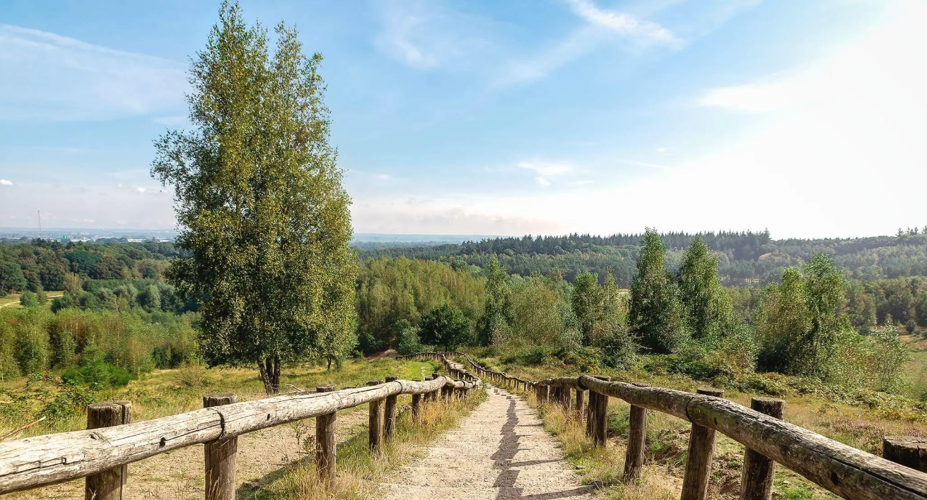
For hill seekers: The best trail runs in the Netherlands
LF-routes
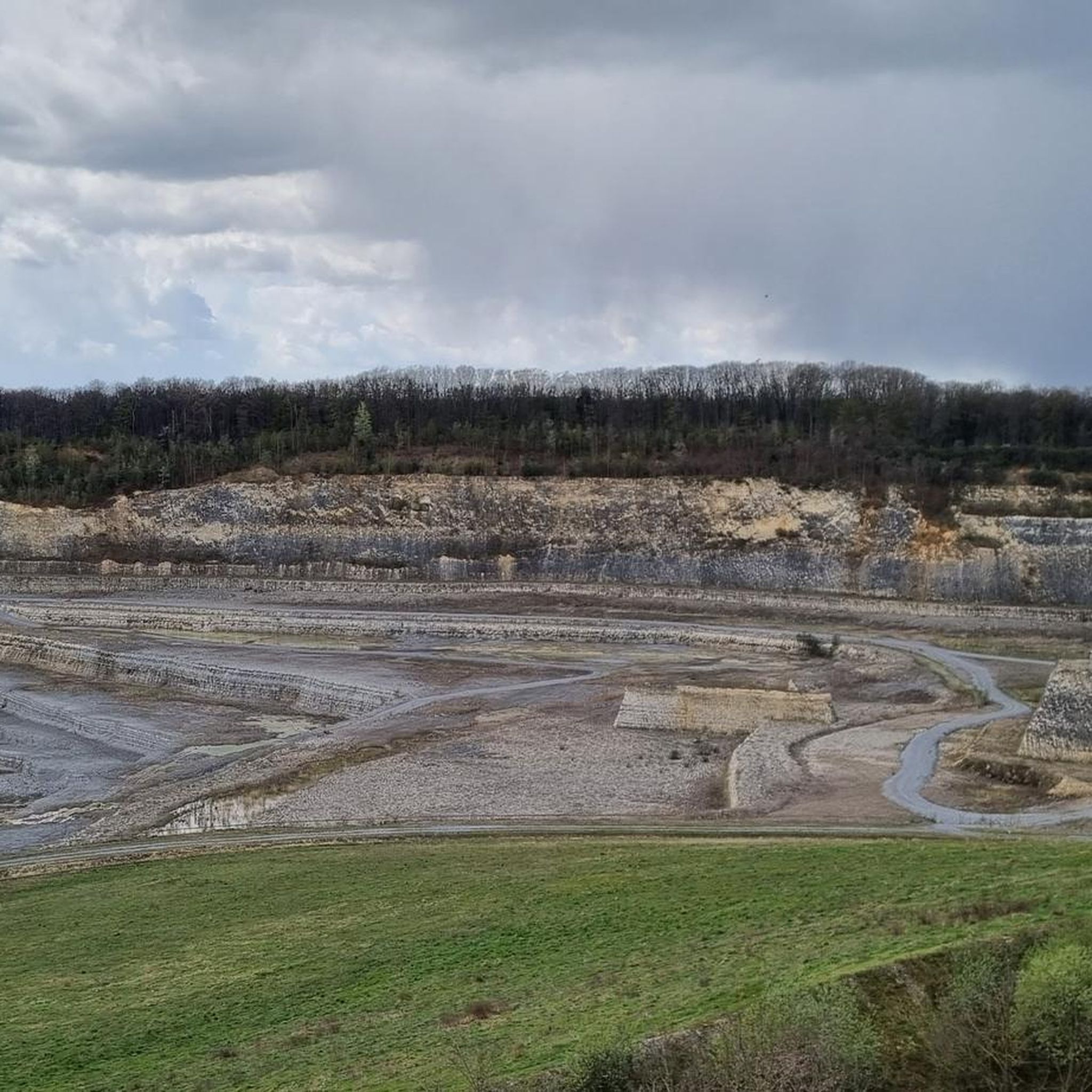
Road Cycling Routes in Sint Pietersberg & Jekerdal
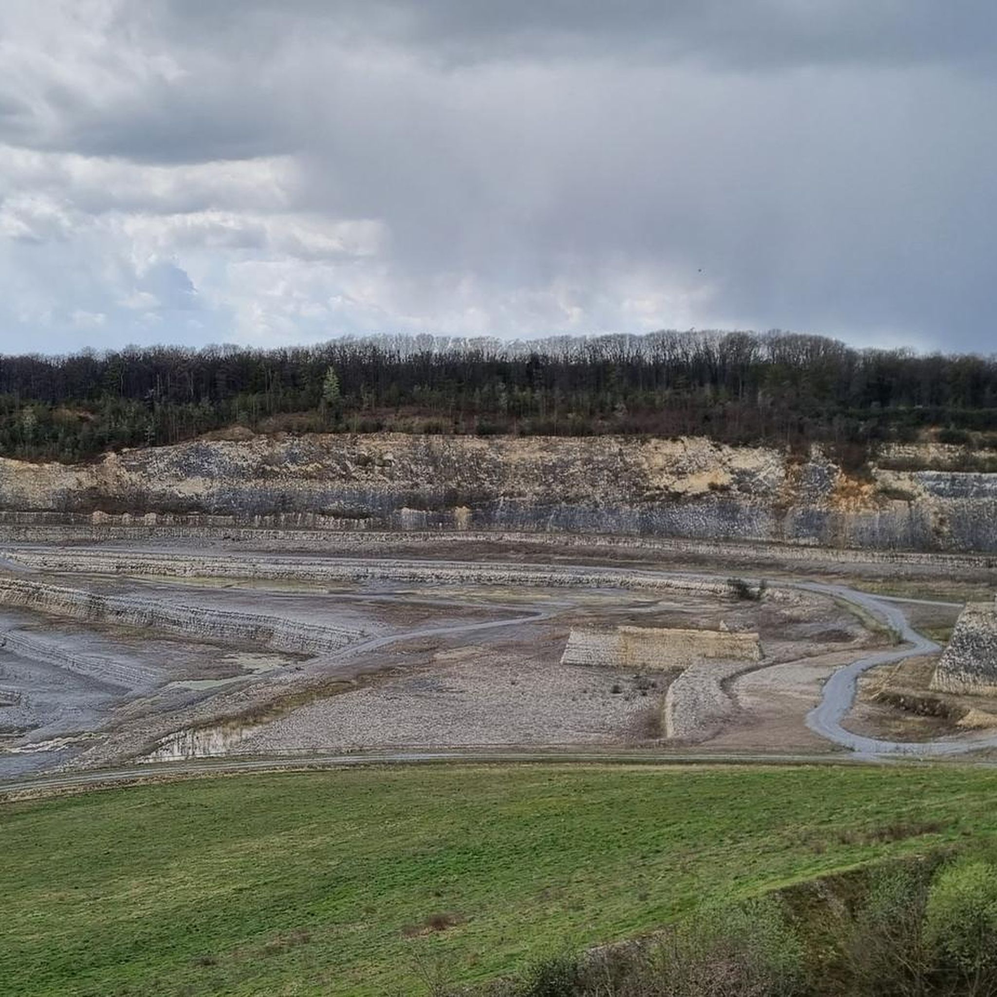
Hiking in Sint Pietersberg & Jekerdal
Running Trails in Sint Pietersberg & Jekerdal
Cycling in Sint Pietersberg & Jekerdal
MTB Trails in Sint Pietersberg & Jekerdal
Gravel biking in Sint Pietersberg & Jekerdal
Other adventures in Sint Pietersberg & Jekerdal


Tips from the Community

Sint-Pietersberg offers a unique mosaic of open chalk grasslands and light-permeable forests, worth visiting for every nature lover. On the 'Sint-Pietersberg' you will feel like you are in a foreign country. Where else can you find such beautiful hills and such a special marl landscape? The Plateau of Caestert consists of valuable slope forests and chalk grasslands, a rare biotope in Flanders. Beneath the forests and grasslands are unique marl quarries, which form a true paradise for a dozen species of bats.
3
0
The Neercanne castle is built on the original site of Roman fortifications whose caves still exist and are used as a wine cellar. In the hall, the original staircase with a railing on wide columns is still present. Weapon trophies are depicted in relief on the ceiling. Currently, the castle is used as a hotel and restaurant. The restaurant has been awarded one star by the Michelin Guide.
5
0

The Moulin du Broukay is a former flint mill on the Geer River near Eben-Emael, built in the 1950s as an industrial flint-grinding mill. It primarily served the Meuse Valley foundations but later fell into disrepair. Today, it is a renovated cultural and recreational center with a café-restaurant, meeting and function rooms, and a starting point for hiking trails in the Montagne Saint-Pierre. The area is part of the "Archéo et Géo Espaces - Moulin du Broukay," which showcases the geology, archaeology, and industrial history of the Jeker/Geer Valley.
4
0

Very challenging and very steep. Be careful here. There is a rope, best to use it.
1
0
There are old flint quarries in this area: the “Carrières de silex du Thier des Vignes”.
1
0
It's a small but valuable reserve consisting of calcareous grasslands, scrub, and former quarry and slope areas. Thanks to the calcareous soil, rare plants such as orchids and thyme thrive here, and butterflies and insects abound. It's a quiet, sunny spot where nature has slowly reclaimed the old quarry slopes.
1
0

Very nice location. Something major seems to have happened here over the weekend (late August 25th), and the following Monday there was a big cleanup.
14
0

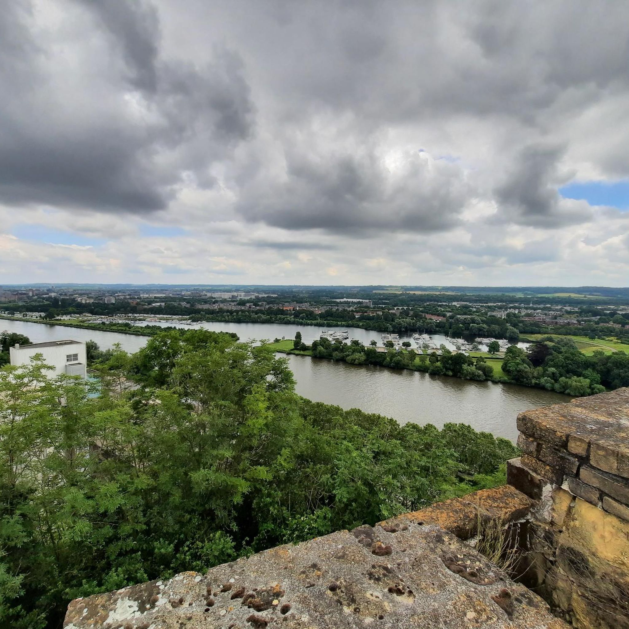
Block 01 is one of the observation and gun emplacements of the iconic Fort Eben-Emael. From this vantage point, you have an impressive view of the Albert Canal and the surrounding area. It's not only a strategic historical point but also a stunning panoramic viewpoint for hikers and photographers. Ideal for a short break during your tour of the area. Tip: Visit on a clear day – you can see for miles!
2
0
Frequently Asked Questions
How many mountaineering routes are available in Sint Pietersberg & Jekerdal?
This guide details 4 mountaineering routes in Sint Pietersberg & Jekerdal, offering a variety of experiences from easy strolls to more challenging treks.
Are there easy mountaineering routes suitable for beginners in Sint Pietersberg & Jekerdal?
Yes, Sint Pietersberg & Jekerdal offers several easy mountaineering routes perfect for beginners. The Fort Sint Pieter – ENCI Quarry Viewpoint loop from Maastricht is an accessible option, as is the Moulin du Broukay – Broukay Mill loop from Bassenge.
What challenging mountaineering trails can I find in the Jekerdal area?
For those seeking a more challenging experience, the Fort Sint Pieter – Château Neercanne loop from Maastricht is a difficult 10.4-mile (16.7 km) route that takes around 4 hours 36 minutes to complete, offering expansive views and historical landmarks.
Are there any circular mountaineering routes in Sint Pietersberg & Jekerdal?
Yes, all the routes featured in this guide are circular. You can enjoy loops such as the Fort Eben-Emael – View of the Lanaye Locks loop from Eben-Emael, which provides scenic vistas over the Meuse river.
What are some interesting landmarks or viewpoints along the mountaineering routes?
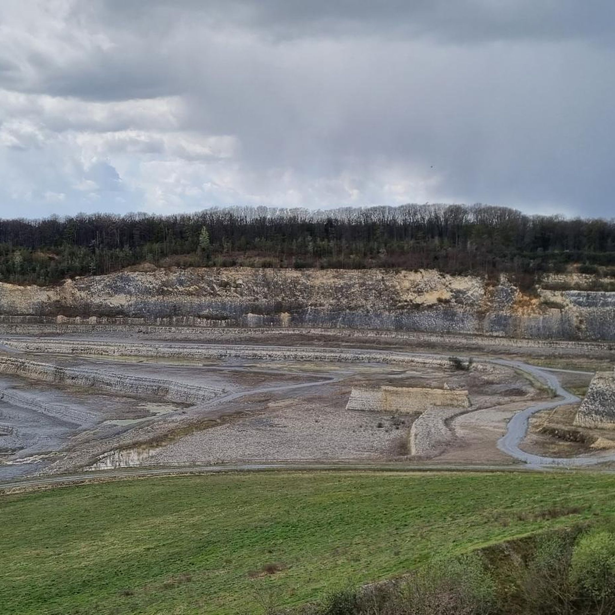
The region is rich in historical sites and natural beauty. Along the routes, you can discover landmarks like Fort Sint Pieter and Château Neercanne. For stunning views, visit the ENCI Quarry Viewpoint or the Kiekoet Viewpoint – Oehoe Valley.
Are the mountaineering routes in Sint Pietersberg & Jekerdal suitable for families?
Many routes in Sint Pietersberg & Jekerdal are suitable for families, especially the easier loops. The terrain is generally moderate with rolling hills, making it enjoyable for various ages. Consider the Moulin du Broukay – Broukay Mill loop from Bassenge for a pleasant family outing.
Can I bring my dog on the mountaineering trails in Sint Pietersberg & Jekerdal?
Yes, the trails in Sint Pietersberg & Jekerdal are generally dog-friendly, offering open fields and woodlands for your canine companion to enjoy. Always keep your dog on a leash, especially near livestock or protected areas, and ensure you clean up after them.
What is the best time of year for mountaineering in Sint Pietersberg & Jekerdal?
The region is beautiful year-round. Spring and autumn offer pleasant temperatures and vibrant scenery, while summer is ideal for longer days. Even winter can be enjoyable, with crisp air and unique views, though some paths might be muddy or slippery.
Are there any cafes or places to eat near the mountaineering routes?
Yes, you'll find charming cafes and restaurants in nearby towns like Maastricht and Eben-Emael, often close to the start or end points of the routes. These are perfect for a post-hike refreshment or meal.
How can I access the Jekerdal trails using public transport?
Many routes, especially those starting near Maastricht, are accessible via public transport. Local bus services connect Maastricht to surrounding areas, allowing you to reach various trailheads. Check local transport schedules for the most up-to-date information.
Where can I park my car when visiting the Sint Pietersberg mountaineering trails?
Parking is generally available at or near the starting points of many routes, particularly in towns like Maastricht or Eben-Emael. Look for designated parking areas or public car parks in these locations.
What do other mountaineers enjoy most about the routes in Sint Pietersberg & Jekerdal?
The area is highly rated by the komoot community, with an average score of 4.0 stars. Reviewers often praise the diverse landscape, which includes rolling hills, river valleys, and unique geological formations like the former marl quarries, as well as the historical landmarks along the way.
Most popular routes in Sint Pietersberg & Jekerdal
Most popular attractions in Sint Pietersberg & Jekerdal

Get inspired with the komoot mobile app


Explore more
Browse the best Mountain Hikes & Routes in other regions.
