The best walks and hikes around Sault Ste. Marie
4.3
(11)
71
hikers
17
hikes
Hiking around Sault Ste. Marie offers diverse landscapes, from dense forests and rocky highlands to pristine lakeshores and the St. Marys River. The region features a network of trails with rocky lookouts and waterfalls, particularly in areas like Hiawatha Highlands. Hikers can explore northern boreal forests, wetlands, and ancient ridges, providing varied terrain for outdoor activities.
Best hiking trails around Sault Ste. Marie
- The most popular hiking route is Round Island Point Nature Preserve Trail, a 1.6 miles (2.6…
Last updated: November 2, 2026
2.57km
00:39
0m
0m
Easy hike. Easily walkable paths.
1
hikers
2.64km
00:40
0m
0m
Easy hike. Easily walkable paths.

3
hikers
2.05km
00:31
0m
0m
Easy hike. Easily walkable paths.
5
hikers
3.77km
00:58
10m
10m
Easy hike. Easily walkable paths.
18.1km
04:33
30m
30m
Moderate hike. Good fitness required. Easily walkable paths.
Get access to more routes and recommendations from other explorers.
Already have an account?
Our route recommendations are based on thousands of hikes, rides, and runs completed by other people on komoot.
Start today with a free account
Your next adventure awaits.

Other adventures around Sault Ste. Marie

Tips from the Community

The ideal place to connect with nature that's still within the city's limits. With well-surfaced paths, numerous public amenities, children's playgrounds and views over St. Mary's River, it's an ideal place for a tranquil stroll or take the kids.
0
0

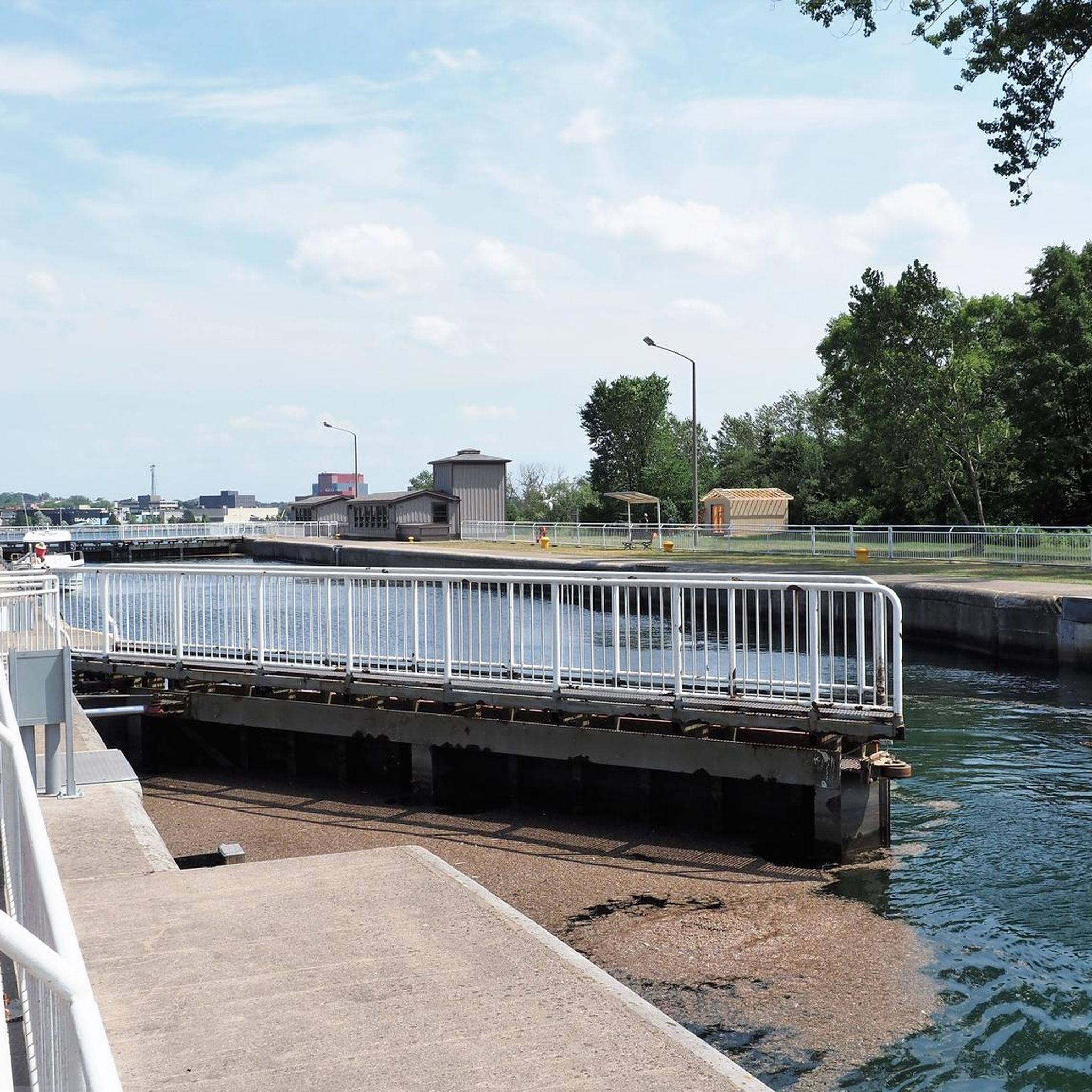
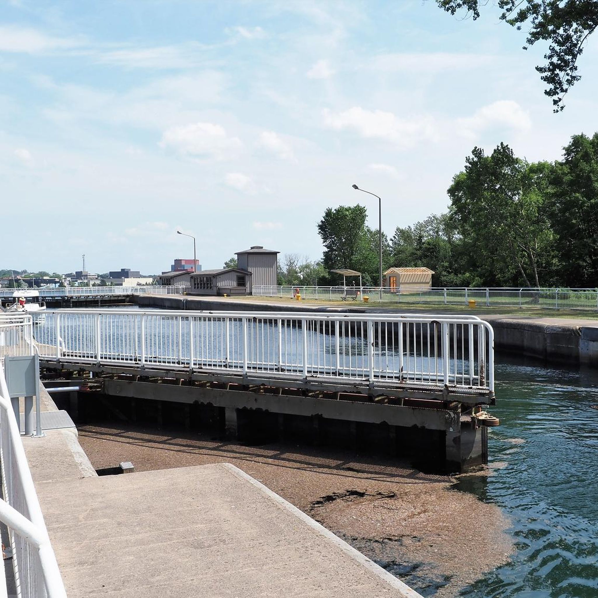
Due to damage, the Sault Ste. Marie Canal was decommissioned in 1987. Only in 1998 was the lock reopened, but with a length of only 77 meters instead of the original 274 meters. The lock is now open from mid-May to mid-October for recreational activities. (Visit on May 27, 2026) https://parks.canada.ca/lhn-nhs/on/ssmarie/culture/histoire-history
0
0
On the Canadian side, two islands lie in the river, St. Marys Island and Whitefish Island. The islands were an important meeting place for the Anishinaabe First Nation for fishing and trade between Lake Huron and Lake Superior until colonization by Europeans and were called Baawaating, place of the rapids. To make the St. Marys River navigable for trade, especially with furs, a huge canal was built through St. Marys Island at the end of the 19th century; it was the longest lock in the world at the time. There is a height difference of approx. 7 meters between Lake Superior and Lake Huron. (Visit on May 27, 2026)
0
0

St. Mary's Island is a popular tourist destination in the Whitefish Channel on the St. Mary's River. There are many wild animals to see on the island, such as beavers, muskrats and minks. You can also observe numerous water birds and songbirds. It's worth packing your binoculars.
1
0
Your way to South St. Mary's Island takes you through one of the lock gates. The Visitor Center is located right next to the lock, where you can find out more about the island and its walking trails.
1
0

Ashmund Bay Park is a great, small park on the banks of the Upper St. Mary's River. There are great views of the river from the park, as well as a picnic area and walking trail.
0
0
The Soo Strong Trail is a 32-mile trail that runs from Sault Ste. Marie to Eckerman. The trail follows the old railroad corridor of the Soo Line. It is a trail that is popular with cyclists and hikers and is made of out crushed stone and gravel.
0
0
Frequently Asked Questions
How many hiking trails are available around Sault Ste. Marie?
There are over 15 hiking trails around Sault Ste. Marie, offering a variety of experiences. The majority, 14 routes, are rated as easy, with 3 routes considered moderate, ensuring options for different skill levels.
What kind of terrain can I expect on hikes in Sault Ste. Marie?
Hiking around Sault Ste. Marie features diverse terrain, including dense forests, rocky highlands, and pristine lakeshores. You'll find trails winding through northern boreal forests, wetlands, and along ancient ridges, often with rocky lookouts and waterfalls, particularly in areas like the Hiawatha Highlands.
Are there any family-friendly hiking options in Sault Ste. Marie?
Yes, Sault Ste. Marie offers several family-friendly hiking options. Trails like the Round Island Point Nature Preserve Trail and Attikamek Trail are easy and relatively short, perfect for outings with children. The Hub Trail, a 22.5 km non-motorized trail, also provides accessible sections within the city, including an easy walk into Fort Creek Conservation Area.
Where can I find trails with scenic views or waterfalls?
For scenic views and waterfalls, the Hiawatha Highlands is a prime destination, featuring a network of trails with gorgeous rocky lookouts and glorious waterfalls along Crystal Creek. The Voyageur Trail around Kinsmen Park also offers picturesque routes with rocky lookouts and waterfalls within city limits. Additionally, the Trap Rock Trail provides incredible views of the St. Marys River, Squirrel Island, and Lake George.
Are there any circular hiking routes in the area?
Yes, you can find circular routes around Sault Ste. Marie. An example is the Algonquin Cross-Country Ski Trail Loop A, which winds through forested areas. The Algonquin Trail just outside of town also offers a series of loops, including a main 1.6-mile loop.
What are some notable landmarks or attractions I can explore while hiking?
While hiking, you can explore various natural and historical landmarks. The Hub Trail connects to historic districts and natural areas within the city, including Fort Creek Conservation Area with its high bridges. The Spirits Rising Monument – St. Mary's Island loop offers a route around a significant local monument. For a broader experience, parts of the North Country Trail lead towards attractions like Tahquamenon Falls State Park, known for its majestic waterfalls.
What do other hikers enjoy most about hiking in Sault Ste. Marie?
The hiking trails around Sault Ste. Marie are highly rated by the komoot community, with an average score of 4.3 stars. Hikers often praise the diverse landscapes, from tranquil nature preserves to trails with rocky lookouts and river views, and the variety of options for different ability levels.
Are there any longer, more challenging hikes available?
For a longer hiking option, the Soo/Strong Trail is a moderate 11.2-mile (18.1 km) route that takes approximately 4 hours and 30 minutes to complete, leading through varied terrain. While there are no routes rated as difficult, this trail provides a more extended and engaging experience.
Can I hike in Sault Ste. Marie during the winter?
Yes, Sault Ste. Marie offers opportunities for winter hiking. Trails like the Algonquin Trail, with its main 1.6-mile loop, are lit at night and suitable for winter activities. The Ashmun Creek Trail in Sault Ste. Marie, Michigan, is also accessible year-round and serves as a snowmobile trail in winter, indicating its suitability for cold-weather use.
Are there guided hiking experiences available in Sault Ste. Marie?
Yes, guided hiking experiences are available. Outfitters like Forest the Canoe offer guided interpretive hikes, providing insights into the local environment. Additionally, Thrive Tours, an Indigenous-owned eco-cultural tour company, provides guided hiking tours that incorporate Indigenous teachings and traditions, offering a unique cultural perspective.
What is the best time of year to go hiking in Sault Ste. Marie?
Sault Ste. Marie offers exceptional hiking throughout all seasons due to its diverse landscape. Spring and summer provide lush greenery and active waterfalls, while autumn showcases spectacular fall colors. Winter offers unique opportunities for snowshoeing and winter hiking on suitable trails. The best time depends on your preferred scenery and activity.
Are there any trails that offer access to the Great Lakes or St. Marys River?
Yes, Sault Ste. Marie's location provides stunning waterfront access. The Trap Rock Trail offers incredible views of the St. Marys River, Squirrel Island, and Lake George from a high rocky overlook. You can also explore areas like Pointe des Chenes, a waterfront park known for its sand beaches and shallow waters, offering recreational activities and scenic views along the Great Lakes shores.
Most popular attractions around Sault Ste. Marie

Get inspired with the komoot mobile app


Explore more
Browse the best Hikes in other regions.
