The best gravel rides around Lower Harpton
5.0
(7)
37
riders
3
rides
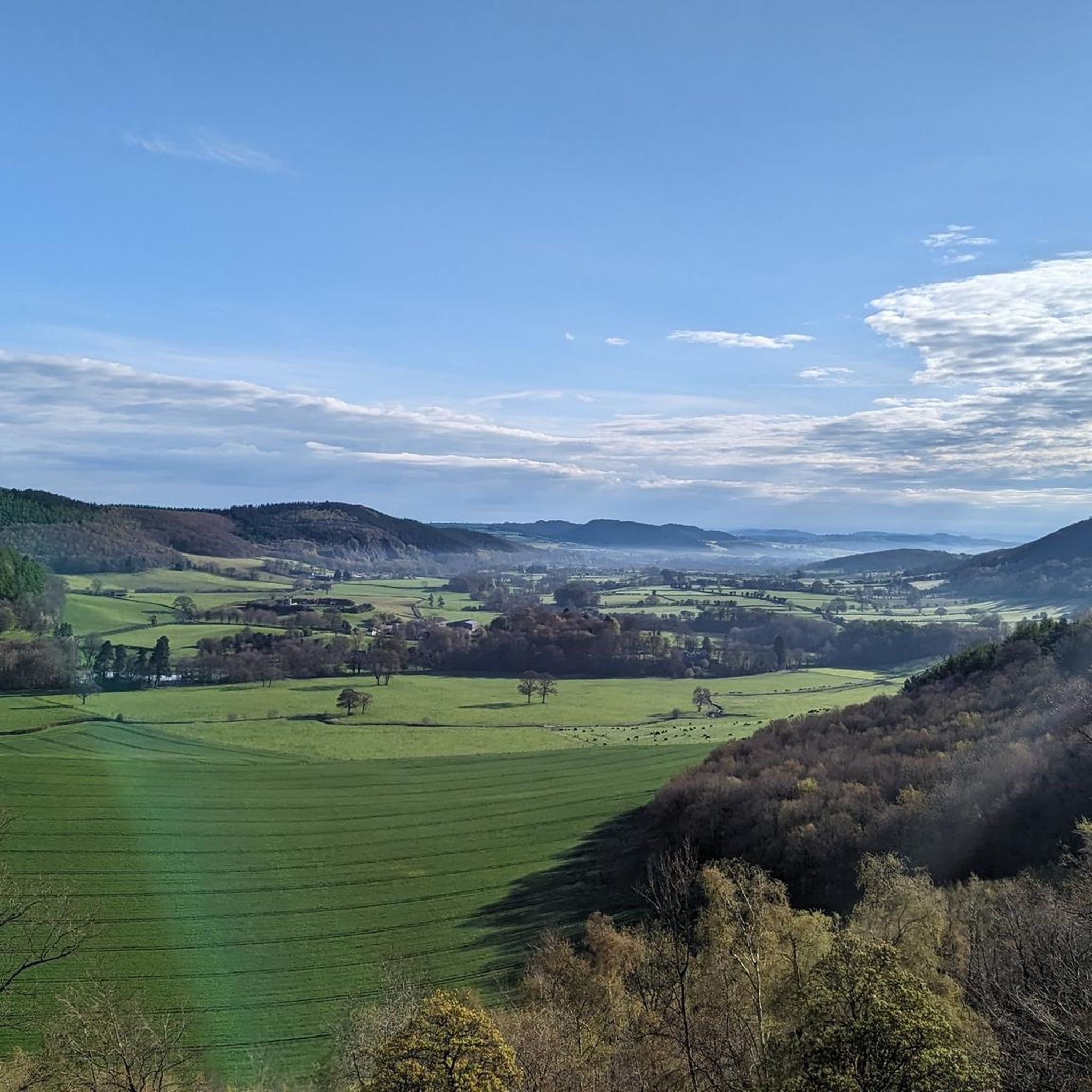
Gravel biking around Lower Harpton offers diverse terrain across the border of Herefordshire, England, and Powys, Wales. The region is characterized by rolling hills, ancient woodlands, and picturesque valleys, providing a varied landscape for exploration. Unpaved tracks, quiet country lanes, and bridleways are common, particularly around features like Hergest Ridge and within the Radnor Forest. This area provides a network of routes suitable for gravel cyclists seeking both challenging climbs and scenic paths.
Best gravel bike trails around Lower Harpton
…Last updated: October 4, 2026
5.0
(5)
22
riders
72.8km
06:09
1,580m
1,580m
Hard gravel ride. Very good fitness required. Mostly paved surfaces. Suitable for all skill levels.
5.0
(2)
12
riders
29.3km
02:45
810m
810m
Hard gravel ride. Very good fitness required. Mostly paved surfaces. Suitable for all skill levels.

3
riders
68.2km
06:35
1,820m
1,820m
Hard gravel ride. Very good fitness required. Mostly paved surfaces. Suitable for all skill levels.
Our route recommendations are based on thousands of hikes, rides, and runs completed by other people on komoot.
Start today with a free account
Your next adventure awaits.
Tips from the Community

Historic ancient monument with a lot of history, and an interesting place to walk around
0
0

The group of Monkey Puzzle trees can be seen for miles around, and are a clear way point on the Offa's Dyke path.
0
0

This is the start point of the Glyndŵr's Way National Trail which winds through mid-Wales and ends at Welshpool. It's not as popular a trail as Offa's Dyke which is the main reason you'll meet other hikers here in Knighton.
1
0

A long push (for most of us), but great views from the top.
0
0

It really feels like the most wild you could possibly experience in Wales!
1
2
This climb is bananas! like, GOOD LUCK… and hold on to your brakes!
1
0

Knighton is a beautiful border market town and is unique in being the only town to sit astride Offa's Dyke national footpath. It is also notable as the starting point of Glyndwr's Way, following the route of the Welsh leader's significant battles. It is also a mecca for border cyclists and there are plenty of routes to navigate the surrounding hills and stunning countryside.
1
0

Frequently Asked Questions
How many gravel bike trails are available around Lower Harpton?
There are several gravel biking routes in the Lower Harpton area, with komoot listing 4 distinct trails. These routes offer diverse terrain across the border of Herefordshire and Powys, providing a varied landscape for exploration.
What is the general difficulty level of gravel biking routes in Lower Harpton?
The gravel biking routes around Lower Harpton are generally considered challenging. All 4 routes listed in the guide are rated as 'difficult', featuring significant elevation gains and varied terrain, making them suitable for experienced gravel cyclists.
What do other gravel bikers enjoy most about the routes in Lower Harpton?
The komoot community highly rates the gravel biking experience in Lower Harpton, with an average score of 5.0 stars from over 5 reviews. More than 40 gravel bikers have explored the area, often praising the extensive views across the Welsh Borders and the rugged, scenic environments found within places like Radnor Forest.
Are there any circular gravel biking routes in the Lower Harpton area?
Yes, all the featured gravel biking routes around Lower Harpton are designed as loops. For example, you can explore the St Mary's Church, Gladestry – View of the Welsh Borders loop from Kington, or the Kinnerton Court Motte – Very Quiet Country Lanes loop from New Radnor, both offering a return to your starting point.
What natural features or landmarks can I see while gravel biking near Lower Harpton?
The region is rich in natural beauty. You can encounter the panoramic views from Hergest Ridge, explore the wild terrain of Radnor Forest, or visit the unique Water-Break-Its-Neck Waterfall. Other notable spots include The Whimble and Black Mixen Summit, offering expansive vistas.
Are there any historical sites accessible by gravel bike in the region?
Yes, the area boasts historical intrigue. The ancient Offa's Dyke Path runs through the region, and while some sections are better for walking, parts are accessible for gravel bikes. You can also find sites like Wapley Hillfort, an Iron Age fort, and the Kinnerton Court Motte, which is part of a quiet country lanes loop.
Are there any family-friendly gravel biking options in Lower Harpton?
The gravel biking routes directly around Lower Harpton, as featured in this guide, are generally rated as 'difficult' due to significant elevation and varied terrain. For easier, family-friendly options, you might consider exploring disused railway lines or canal towpaths in the broader Wye Valley National Landscape, which often feature gravel surfaces and less challenging gradients.
Can I bring my dog on gravel bike trails around Lower Harpton?
While many outdoor areas in the UK are dog-friendly, it's important to keep dogs under control, especially in areas with livestock like the sheep and wild ponies on Hergest Ridge. Always check local signage for specific restrictions, and ensure your dog is well-behaved and on a lead where necessary to protect wildlife and other trail users.
Where can I find parking for gravel biking in Lower Harpton?
Specific parking information for individual trailheads is not detailed in this guide. However, many routes, such as the St Mary's Church, Gladestry loop, start from towns like Kington or New Radnor, where public parking facilities are typically available. It's advisable to check local parking options in these starting towns before your ride.
What is the best time of year for gravel biking in Lower Harpton?
The diverse terrain of Lower Harpton, including unpaved tracks and woodland paths, can be enjoyed throughout much of the year. However, for the best conditions, late spring to early autumn generally offers drier trails and more predictable weather. Winter rides are possible but be prepared for potentially muddy or overgrown sections, especially on trails like Offa's Dyke Path.
Are there any cafes or amenities along the gravel bike trails?
The routes around Lower Harpton often traverse rural and wild areas. While specific cafes directly on the trails are not highlighted, starting points like Kington or New Radnor typically offer amenities such as cafes and shops where you can refuel before or after your ride. It's always recommended to carry sufficient water and snacks, especially on longer routes like the View of Highgate Hill loop.
How long are the gravel trails near Lower Harpton?
The gravel trails near Lower Harpton vary in length. For instance, the Black Mixen Summit loop is about 18.6 miles (30.0 km), while the St Mary's Church, Gladestry loop extends to 45.7 miles (73.6 km). The longest route, View from Goytre Tump loop, covers approximately 42.4 miles (68.3 km).
Most popular attractions around Lower Harpton

Get inspired with the komoot mobile app


Explore more
Browse the best Gravel rides in other regions.
