The best walks and hikes around Area J (Lower Arrow/Columbia)
4.9
(7)
64
hikers
8
hikes
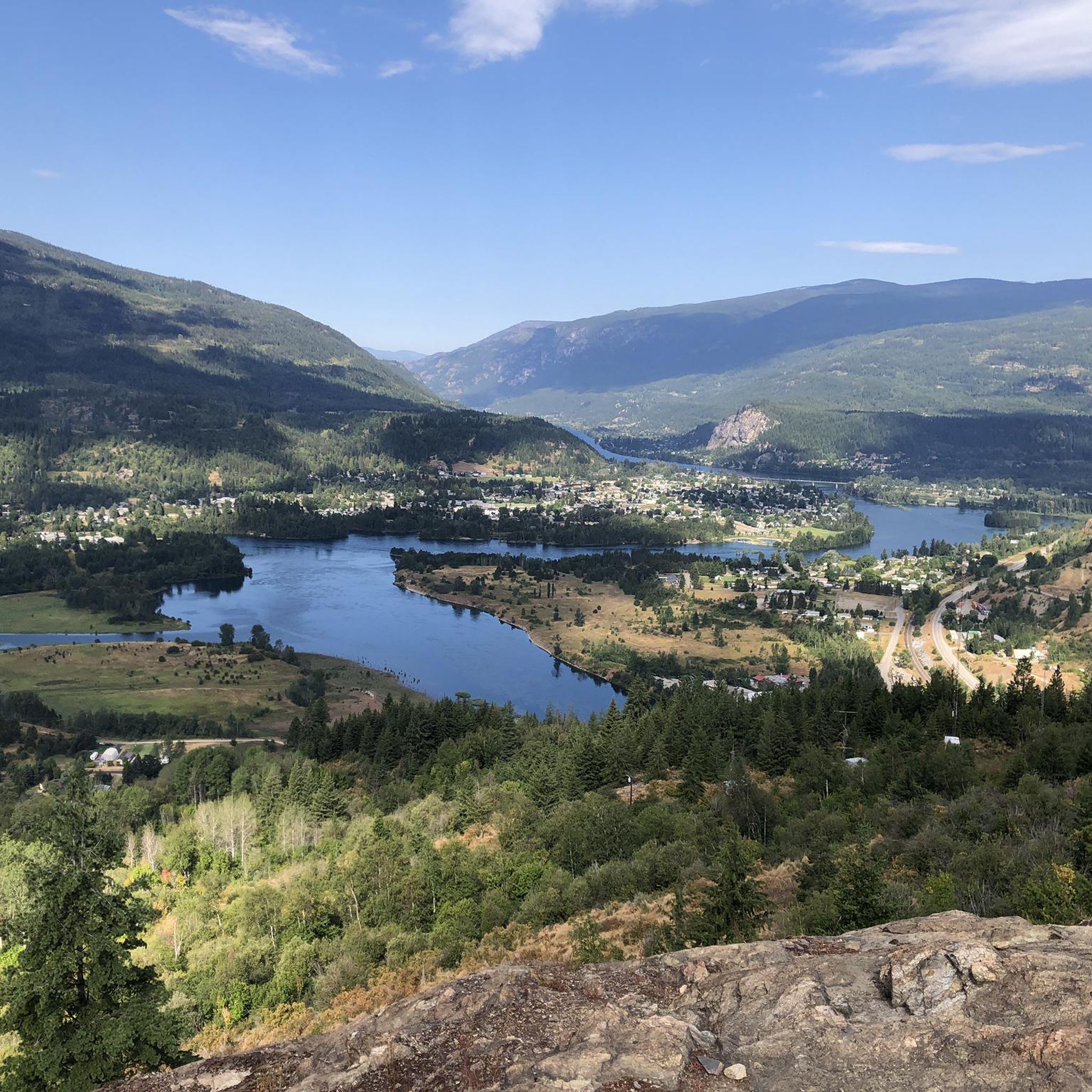
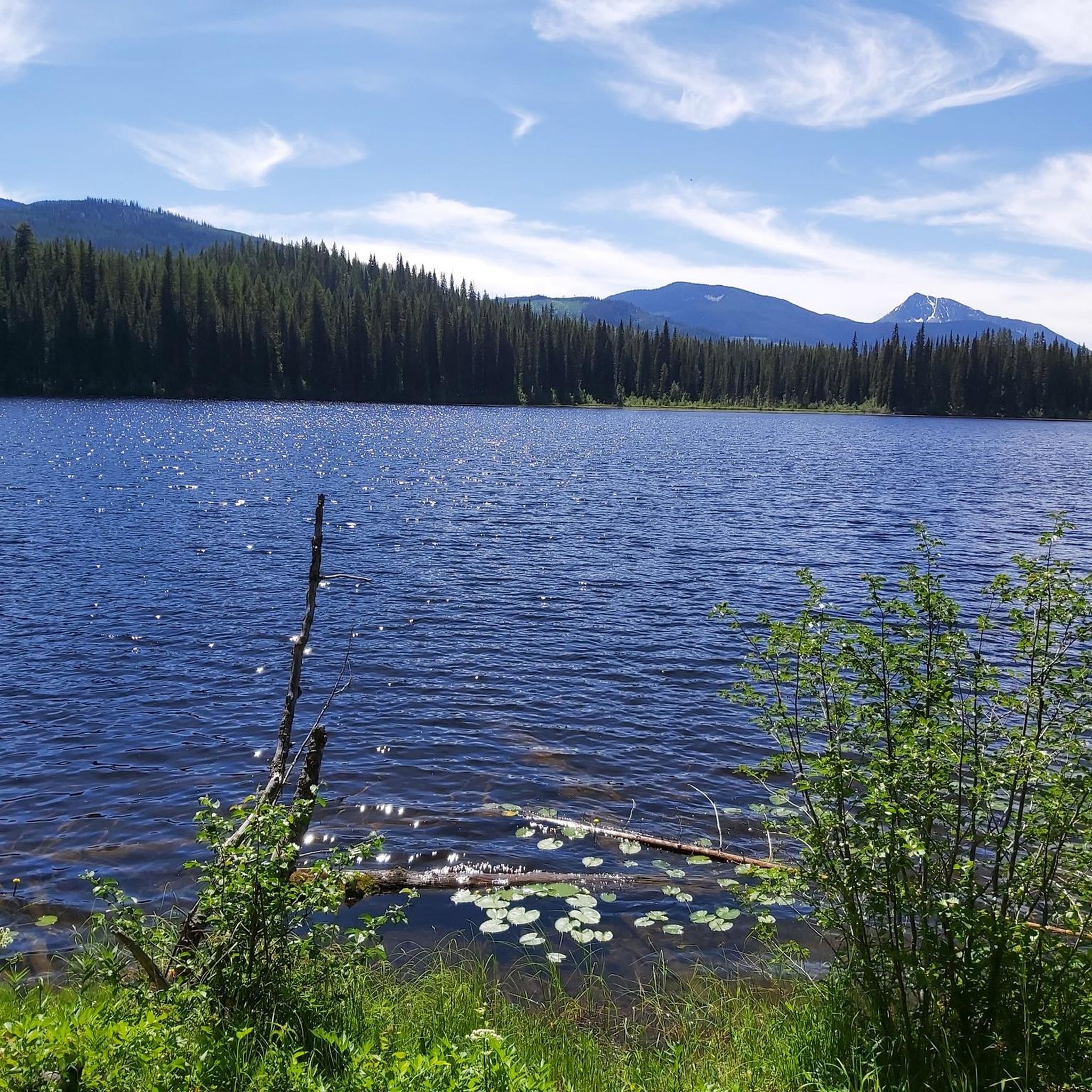
Hiking trails around Area J (Lower Arrow/Columbia) are situated between the Selkirk and Monashee Mountains in British Columbia, offering diverse natural landscapes. The region is characterized by the 90-kilometer-long Lower Arrow Lake, a reservoir on the Columbia River, featuring rocky headlands and steep, heavily forested mountains. Trails also follow the Columbia River Valley, providing scenic river views and varied forest types.
Best hiking trails around Area J (Lower Arrow/Columbia)
- The most popular hiking route is Champion Lakes Trail loop,…
Last updated: November 10, 2026
7
hikers
6.14km
01:49
180m
180m
Easy hike. Easily walkable paths.
1
hikers
2.47km
00:39
20m
20m
Easy hike. Easily walkable paths.

1
hikers
3.06km
00:47
20m
20m
Easy hike. Easily walkable paths.
1.77km
00:34
70m
70m
Easy hike. Easily walkable paths.
4.8
(4)
28
hikers
Easy hike. Easily walkable paths.
Get access to more routes and recommendations from other explorers.
Already have an account?
Our route recommendations are based on thousands of hikes, rides, and runs completed by other people on komoot.
Start today with a free account
Your next adventure awaits.
Popular around Area J (Lower Arrow/Columbia)
Tips from the Community

It's easy to cross Glade Creek here on Glade Road, as there is a short wooden bridge built over the creek. It's a convenient way to cross the waterway and a scenic way to see the river flowing below.
0
0
Glade Road is a dirt road that is part of a part of the Trans Canada Trail. Hikers often use Glade Road to access Glade Creek Falls, which requires a short walk down the road then a turn-off down another short trail to the falls.
0
0
Glade Creek Falls is a peaceful 30-metre waterfall that can be reached via a short hike. It's tucked in an old-growth cedar and spruce forest, spilling into a deep canyon pool known as the “Green Lagoon” at the base of the falls. During the hot summer months, this swimming hole can get busy, with its cold, clear water enticing on a hot day. Spring (May and June) has the most powerful torrent of water due to mountain snow melt and autumn showcases golden foliage from larch and birch trees.
0
0

This exposed viewpoint along the Bluffs Trail looks out across the Columbia River Valley, with clear views over the city below, the Columbia River and the surrounding Rossland Range. From the rocky ridge, the forest drops away sharply toward the valley floor, creating one of the widest panoramas in the trail network. On especially clear days, distant peaks from the Seven Summits area are visible beyond the western ridgelines.
0
0
The Bluffs Trail is named for the exposed rocky bluffs and ridgelines that rise above the Columbia River Valley along this section of the network. After climbing through forest and switchbacks, the trail opens onto steep exposed viewpoints with wide sightlines across the valley, surrounding mountains and the industrial landscape below. The bluff sections are especially scenic near the ridge crest, where the forest falls away and the terrain becomes more open and rugged.
0
0
Miral Heights combines forested ridgelines with exposed bluff viewpoints overlooking the Columbia River Valley and surrounding mountain ranges. Part of a larger multi-use trail network, the area mixes shaded woodland trails with rocky lookouts that open onto wide views across the valley below. Several viewpoints along the ridge offer especially good sightlines toward the Rossland Range on clear days.
0
0

From here you can access the short Waldie Island Trail. Though only 1.5 kilometres long, the trail takes you through prime Great Blue Heron habitat, and if you're lucky you'll have a close encounter of the feathered kind.
1
0
The Waldie Island Trail is a scenic 1.5-kilometer path along the Columbia River in Castlegar, blending local history with a vital riparian ecosystem. As a non-motorized, multi-use route, it’s a favorite for hikers, dog walkers, and cyclists, though pups must remain on a leash to protect the sensitive environment. The trail’s standout feature is its proximity to the Waldie Island Heron Reserve, a crucial sanctuary for Great Blue Heron. By sticking to the marked paths and keeping noise down, visitors can enjoy a rare, up-close look at these majestic birds in their natural habitat.
0
0
Frequently Asked Questions
How many hiking trails are available in Area J (Lower Arrow/Columbia)?
Our guide features a selection of 5 marked hiking routes in Area J (Lower Arrow/Columbia), ranging from easy strolls to more moderate treks. The broader region, nestled between the Selkirk and Monashee Mountains, offers hundreds of kilometers of trails for all skill levels.
Are there easy hiking trails suitable for beginners or families in Area J (Lower Arrow/Columbia)?
Yes, there are several easy trails perfect for beginners and families. Our guide includes 4 easy routes, such as the Champion Lakes Trail loop and the Nancy Greene Provincial Park loop. These trails typically have minimal elevation gain and offer pleasant walks through natural settings.
What kind of natural features and landmarks can I see along the hiking trails?
The region is rich in natural beauty and historical landmarks. You can explore the stunning Lower Arrow Lake, the Columbia River Valley, and the surrounding Selkirk and Monashee Mountains. Notable features include the Columbia and Western Rail Trail, which features the 900-meter-long Bulldog Tunnel, and the impressive Brilliant Suspension Bridge. Valhalla Provincial Park, accessible from the region, is known for its significant peaks and numerous waterfalls.
Are there any circular hiking routes in Area J (Lower Arrow/Columbia)?
Yes, several routes in our guide are circular, allowing you to start and end at the same point. Examples include the easy Champion Lakes Trail loop and the more moderate Brilliant Overlook loop, which offers rewarding views.
Can I find trails with good viewpoints in Area J (Lower Arrow/Columbia)?
Absolutely. Many trails offer panoramic vistas of the Columbia River, Arrow Lakes, and the surrounding mountain ranges. The Dove Hill Viewpoint loop is specifically designed to provide excellent scenic overlooks, and the Brilliant Overlook loop also provides stunning views.
What kind of wildlife can I expect to see while hiking in this region?
Area J is a haven for wildlife. Hikers often spot bighorn sheep, mule deer, white-tailed deer, and elk, particularly on the drier southern slopes. The diverse ecosystems also support various bird species, including the rare canyon wren and white-throated swift in rocky areas.
What do other hikers enjoy most about hiking in Area J (Lower Arrow/Columbia)?
The komoot community highly rates the hiking experiences in Area J, with an average score of 5.0 stars. Reviewers often praise the diverse landscapes, from lush forests to stunning lake and river views, and the variety of trails catering to different skill levels.
Are there any trails that feature waterfalls?
While our specific routes don't highlight waterfalls directly, the region is known for them. Valhalla Provincial Park, accessible from this area, is home to numerous cascades and waterfalls, offering more challenging and rewarding hikes for those seeking such features.
Is it possible to hike near the Arrow Lakes?
Yes, the Lower Arrow Lake is a central feature of the region, offering stunning waterside views. Syringa Creek Provincial Park provides excellent access to the lake and opportunities for hiking along its shores, often combined with camping and wildlife viewing.
What is the best time of year to go hiking in Area J (Lower Arrow/Columbia)?
The region offers an extended hiking season, particularly along the Columbia River Valley trails. Spring and fall provide pleasant temperatures and vibrant scenery, while summer is ideal for higher elevation trails. Always check local conditions before heading out.
Are there any historical sites to explore while hiking?
Beyond natural beauty, the area has significant historical attractions. The Brooklyn Historical Site, near the Bulldog Tunnel, offers a glimpse into the past. The region also has a rich history tied to Doukhobor settlements near Castlegar and Indigenous traditions related to the Arrow Lakes.
Most popular routes around Area J (Lower Arrow/Columbia)
Most popular attractions around Area J (Lower Arrow/Columbia)

Get inspired with the komoot mobile app


Explore more
Browse the best Hikes in other regions.
