Top 20 Mountain Passes around Nunningen
Best mountain passes around Nunningen are characterized by local hiking opportunities and scenic routes rather than traditional high alpine passes. The region, a municipality in the canton of Solothurn, Switzerland, features a landscape of forested and agricultural land. With an elevation of 621 meters, Nunningen offers trails that provide views of the local terrain and access to historical sites. These routes represent the primary elevated and scenic paths available for exploration in the area.
Best mountain passes around Nunningen
- The most popular mountain passes is Schelten Pass from Ramiswil, a mountain pass that features a road rising steadily for 13 km with steep ramps. The route traverses meadows and short woodland, ending with three serpentines leading to the pass height.
- Another must-see spot is Breitenhöchi Pass, a mountain pass with a two-lane asphalt road in good condition. Visitors can expect a moderate slope up to 845 meters, offering views into the Guldental and down to the Upper Hauenstein.
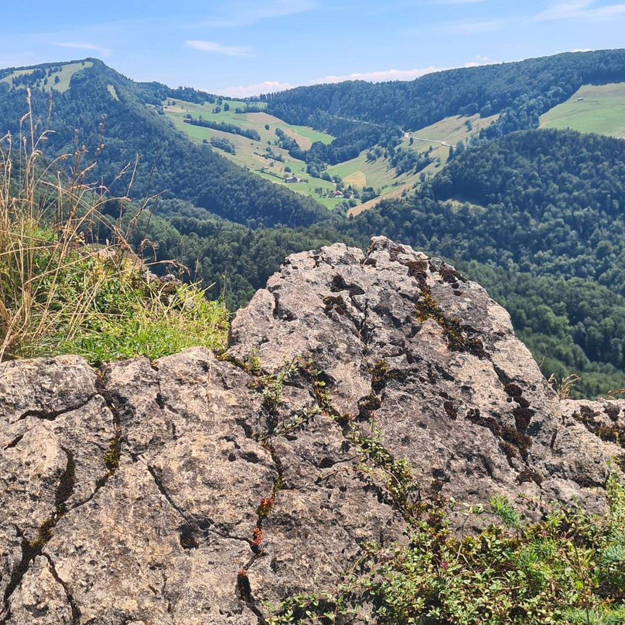
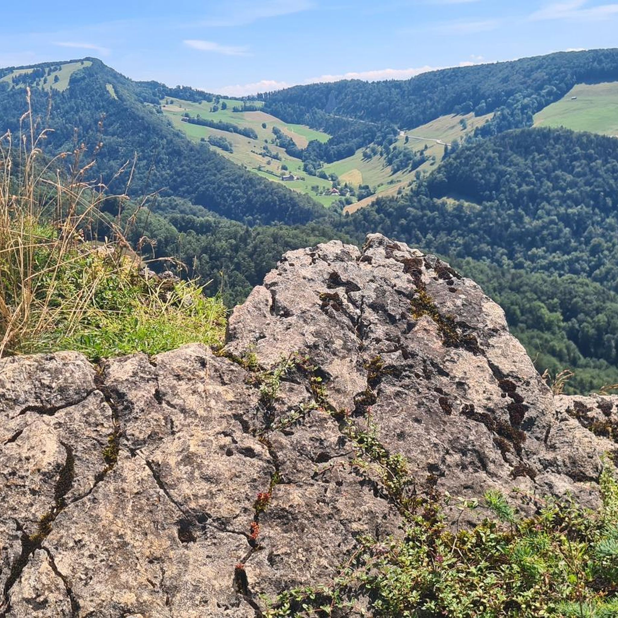
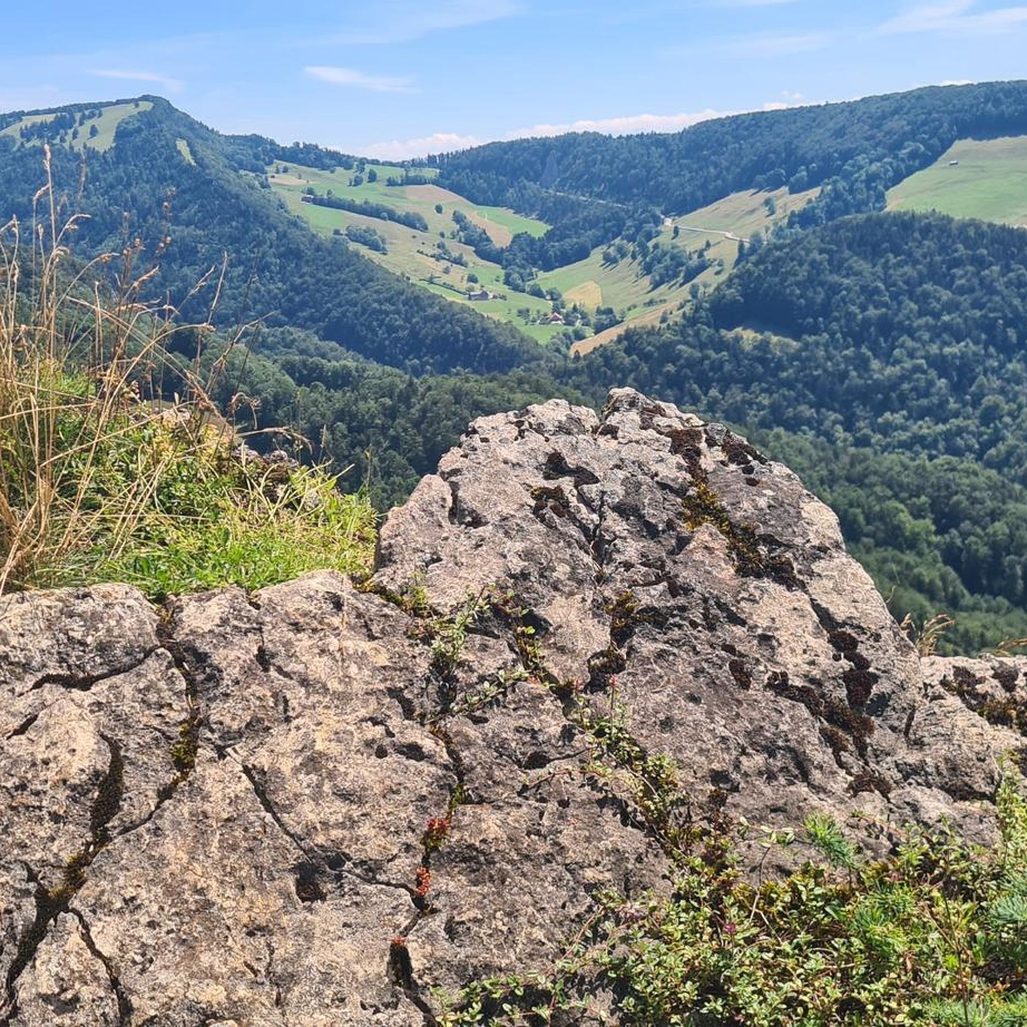
- Visitors also love Big Bench at Blatten Pass, a man-made monument and mountain pass. This location provides a rest area with panoramic views and a barbecue spot.
- Nunningen is known for cycling routes, hiking trails, and scenic viewpoints. These mountain passes offer diverse terrain from forested areas to open meadows.
- The mountain passes around Nunningen are appreciated by the komoot community, with over 770 upvotes and 120 photos shared.
Last updated: May 14, 2026
Big Bench at Blatten Pass
Highlight • Monument
Translated by Google •
Tip by

Schelten Pass from Ramiswil
Highlight (Segment) • Mountain Pass
Translated by Google •
Tip by

Sign up now to discover places like this
Get recommendations on the best single tracks, peaks, & plenty of other exciting outdoor places.
Sign up for free
Breitenhöchi Pass
Highlight • Mountain Pass
Translated by Google •
Tip by

Welschgätterli Pass
Highlight • Mountain Pass
A yellow-marked hiking trail leads over the pass, connecting the two villages. You can also hike past the Welschgätterli on the Chemin du Val Terbi, which takes you on a circular route over the heights around Montsevelier. From the summit of the pass, the hike to Montsevelier takes about half an hour and to Erschwil around 40 minutes.
Translated by Google •
Tip by

Gempenstrasse
Highlight (Segment) • Mountain Pass
Translated by Google •
Tip by
Sign up for free to discover even more mountain passes around Nunningen.
Sign up for free
Already have an account?
Start today with a free account
Your next adventure awaits.
Login or Signup
Tips from the Community


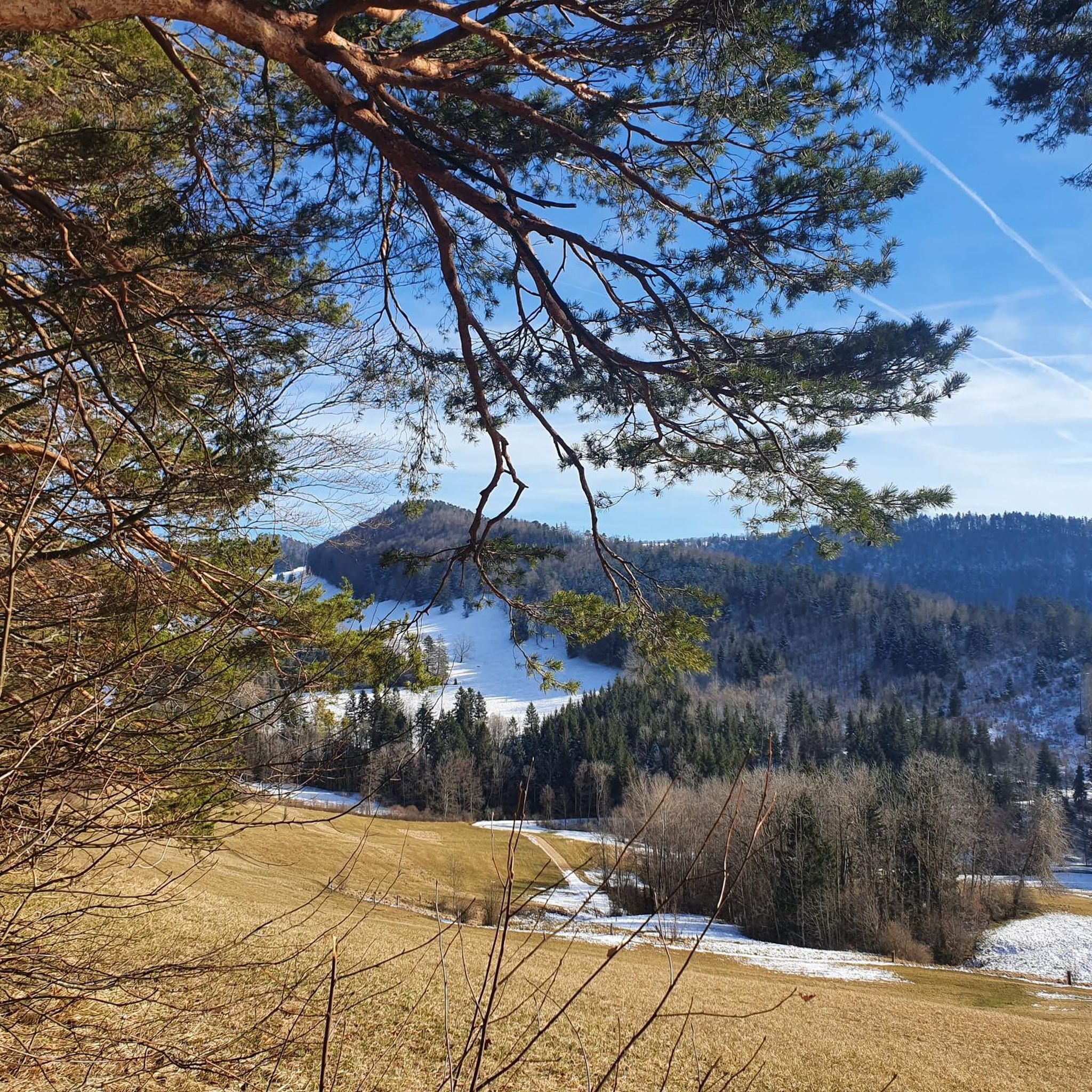
The Welschgätterli is a mountain pass between Montsevelier in the canton of Jura and Erschwil in the canton of Solothurn. Its summit is at an altitude of 810 meters above sea level, directly on the border between the two cantons. A yellow-marked hiking trail leads over the pass, connecting the two villages. You can also hike past the Welschgätterli on the Chemin du Val Terbi, which takes you on a circular route over the heights around Montsevelier. From the summit of the pass, the hike to Montsevelier takes about half an hour and to Erschwil around 40 minutes.
5
0
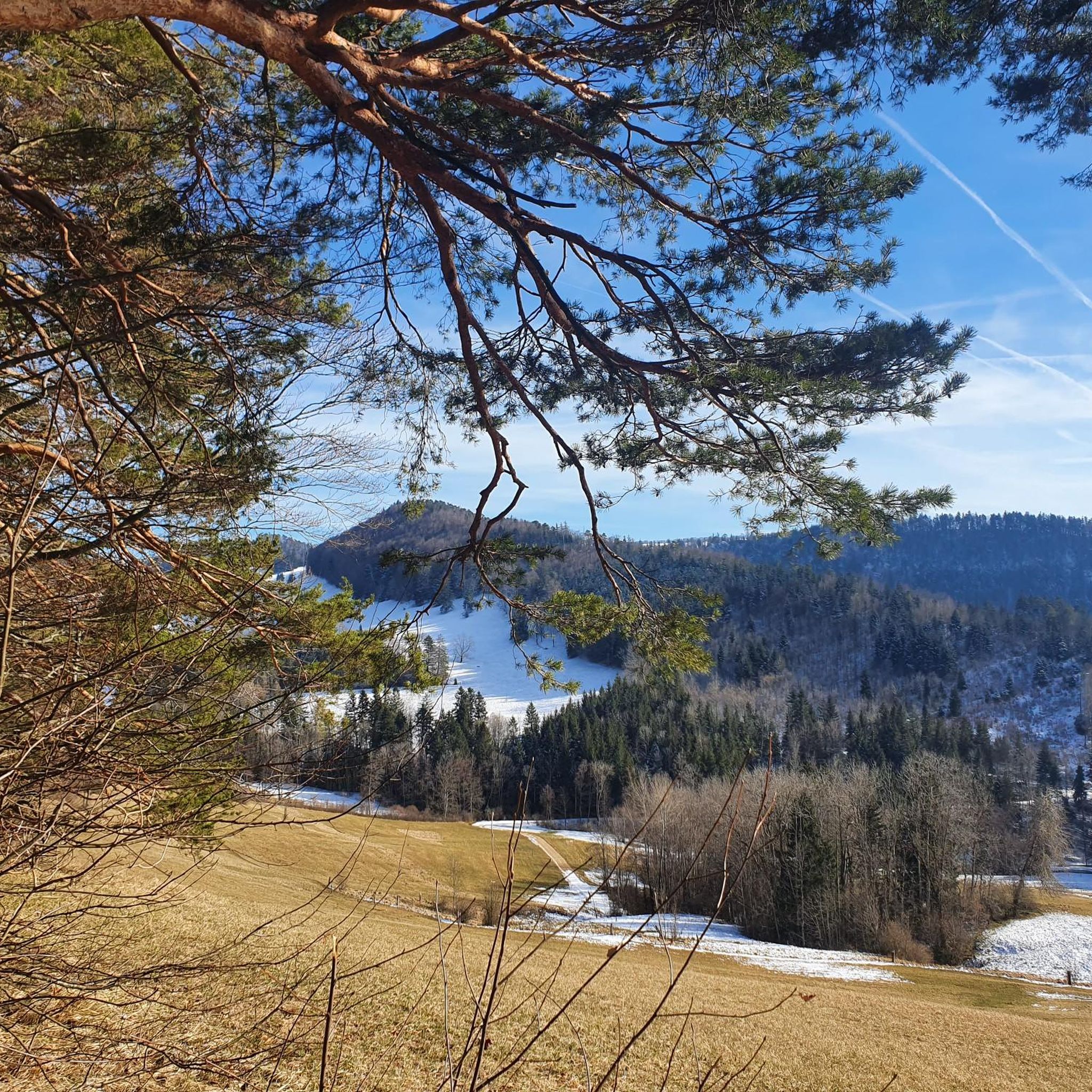
Beautiful rest area with panorama
5
0

Welschgätterli, a "to-do" in the region! 😍
1
0

Coming from Langenbruck, it is only a small pass, but with a magnificent view down to Mümliswil. In the opposite direction, you climb a few meters in altitude, but Langenbruck itself is hidden behind a small forest and down the valley towards Holderbank / Balsthal. You can rest a little off the road on a bench under two trees (also with the best view down to Mümliswil)
0
0

The weather was very nice and very warm on both sides...😉
0
0

Nice quiet pass with slightly steeper climbs
0
0

Transition from the canton of Jura to Baselland
0
0
Frequently Asked Questions
What kind of mountain passes can I expect to find around Nunningen?
The mountain passes around Nunningen are not the high alpine passes found in other parts of Switzerland. Instead, they are characterized by local hiking opportunities and scenic routes through forested and agricultural land. These paths offer views of the local terrain and sometimes access to historical sites, providing a different kind of elevated exploration.
Are there any family-friendly mountain passes or spots in the Nunningen area?
Yes, the Big Bench at Blatten Pass is a great family-friendly option. It's a man-made monument that serves as a rest area with panoramic views and even a barbecue spot, perfect for a leisurely outing with the family.
What are some popular mountain passes for cycling near Nunningen?
For cyclists, Breitenhöchi Pass is highly regarded, featuring a two-lane asphalt road in excellent condition with a moderate slope and extensive views. Another popular choice is Gempenstrasse, known for its wide track and balanced, moderate slope, making it almost like a 'racetrack' for cycling enthusiasts.
Where can I find scenic viewpoints among the mountain passes in Nunningen?
Many of the passes offer scenic views. Breitenhöchi Pass provides views into the Guldental and down to the Upper Hauenstein. The Big Bench at Blatten Pass offers panoramic vistas, and Schelten Pass from Ramiswil rewards climbers with beautiful views after a steady ascent.
What kind of hiking trails are available near Nunningen's mountain passes?
Nunningen offers various hiking opportunities. For instance, a yellow-marked hiking trail leads over Welschgätterli Pass, connecting Montsevelier and Erschwil. You can also find more extensive mountain hiking routes in the region, such as the 'Roggenflue Viewpoint – Ruins of Neu-Falkenstein Castle loop' or the 'Ibachhöhle loop'. For a broader selection of trails, explore the Mountain Hikes around Nunningen guide.
Are there options for mountain biking or gravel biking near Nunningen's passes?
Yes, the Nunningen area is well-suited for both mountain biking and gravel biking. You can find challenging MTB trails like the 'Welschgätterli Pass – Stierenberg Club Hut loop' or explore gravel biking routes such as the 'Big Bench at Blatten Pass – View of the Jura Mountains loop'. For detailed routes, check out the MTB Trails around Nunningen and Gravel biking around Nunningen guides.
What is the difficulty level of the mountain passes around Nunningen?
The difficulty varies. Passes like Schelten Pass from Ramiswil are considered intermediate, featuring steady climbs with steep ramps. Breitenhöchi Pass has a moderate slope, making it accessible for many cyclists. Always check specific route details for the most accurate difficulty assessment.
Are there any places to eat or rest near the mountain passes?
Yes, some passes offer facilities. The Big Bench at Blatten Pass has a barbecue spot, perfect for a picnic. Additionally, Gempenstrasse is known to have a restaurant nearby, providing a convenient stop for refreshments.
What is the best time of year to visit the mountain passes around Nunningen?
The best time to visit is generally during the warmer months, from spring through autumn, when trails are clear and weather conditions are most favorable for hiking and cycling. During summer, it's advisable to start early for climbs to take advantage of cooler temperatures.
What historical sites can be found near Nunningen's mountain passes?
While the passes themselves are primarily natural or man-made routes, the Nunningen region is known for local hiking opportunities that provide access to historical sites. For example, trails around Nunningen can lead to places like the Gilgenberg castle ruins, offering a blend of nature and history.
What do visitors enjoy most about the mountain passes in Nunningen?
Visitors appreciate the diverse terrain, from forested areas to open meadows, and the rewarding views. Cyclists particularly enjoy the well-maintained roads and moderate slopes of passes like Breitenhöchi. The community also values spots like the Big Bench at Blatten Pass for its pleasant rest area and panoramic views.
Most popular routes around Nunningen
Most popular attractions around Nunningen

Get inspired with the komoot mobile app


Explore more
See even more epic mountain passes by checking out these guides around Nunningen:
