The best road cycling routes around Nunningen
4.5
(388)
6,441
riders
70
rides
Road cycling around Nunningen offers a diverse environment within the Solothurn & Baselbieter Jura. The region features varied topography, including significant ascents and descents, providing a range of challenges for cyclists. This area is characterized by its natural features and an extensive network of road cycling routes. Cyclists can expect a mix of terrain, from river paths to winding roads with elevation gains.
Best road cycling routes around Nunningen
- The most popular road cycling route is The Birs River at…
Last updated: September 30, 2026
4.4
(47)
339
riders
Easy road ride. Great for any fitness level. Mostly well-paved surfaces and easy to ride.
4.0
(3)
148
riders
50.2km
02:27
680m
680m
Moderate road ride. Good fitness required. Mostly well-paved surfaces and easy to ride.

5.0
(1)
86
riders
72.0km
03:13
650m
650m
Moderate road ride. Good fitness required. Mostly well-paved surfaces and easy to ride.
61
riders
29.6km
01:25
350m
350m
Moderate road ride. Good fitness required. Mostly well-paved surfaces and easy to ride.
37
riders
25.0km
01:12
330m
330m
Moderate road ride. Good fitness required. Mostly well-paved surfaces and easy to ride.
Get access to more routes and recommendations from other explorers.
Already have an account?
Our route recommendations are based on thousands of hikes, rides, and runs completed by other people on komoot.
Start today with a free account
Your next adventure awaits.
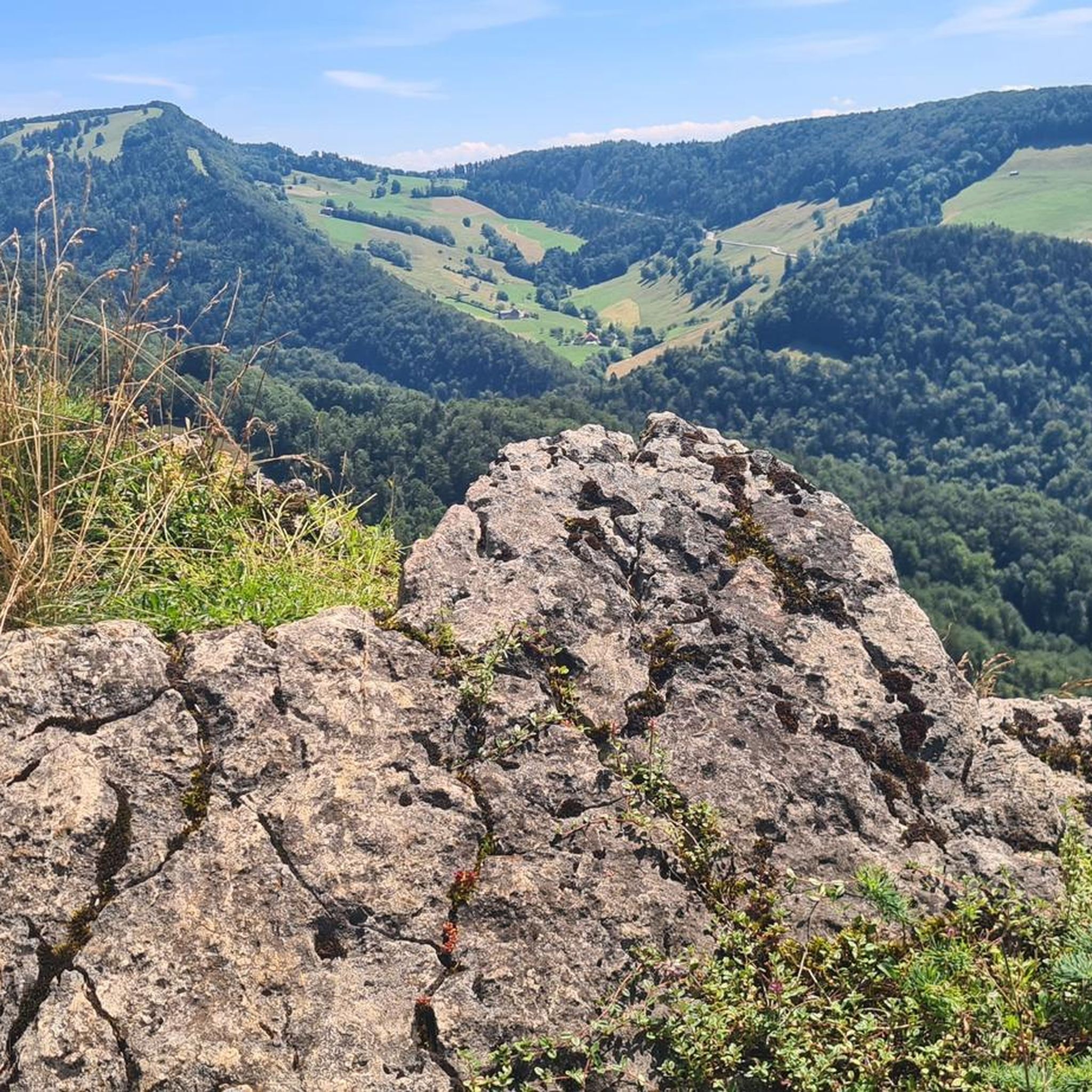
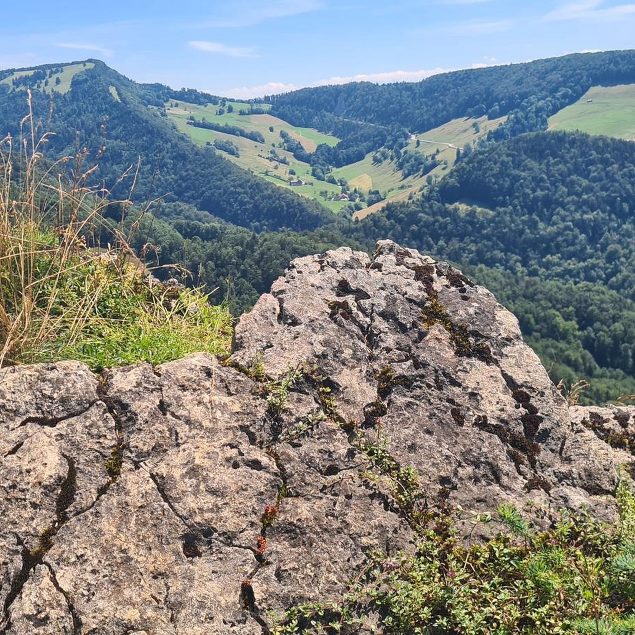
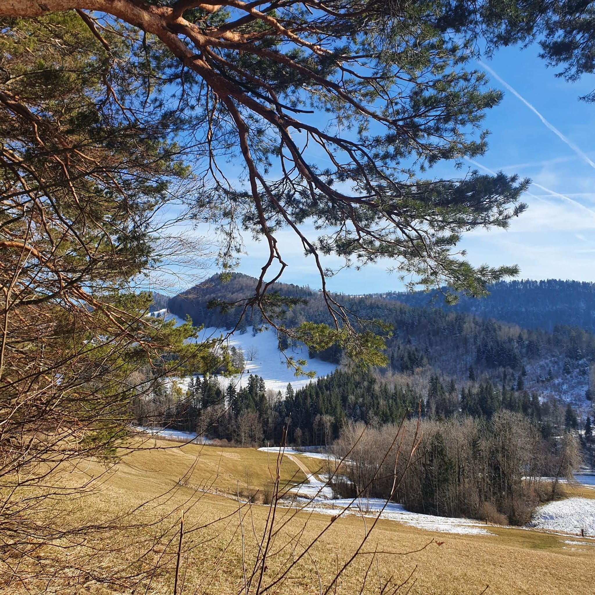
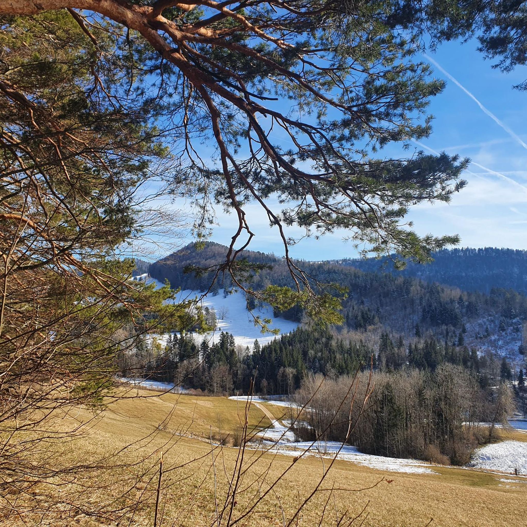
Tips from the Community

The "Obere Tor" (also called Törli) is the landmark of Liestal and the rest of the medieval city fortification. The substructure was built in the first half of the 13th century, the subsequently added barbican had to make way in 1879 for traffic reasons. The tower has probably been painted since 1498/99, the current paintings are by local painter Otto Plattner from the years 1949/50 and show on the inside the Rütli oath and St. George the dragon slayer, on the outside Chronos and a warrior with a Swiss banner.
0
0
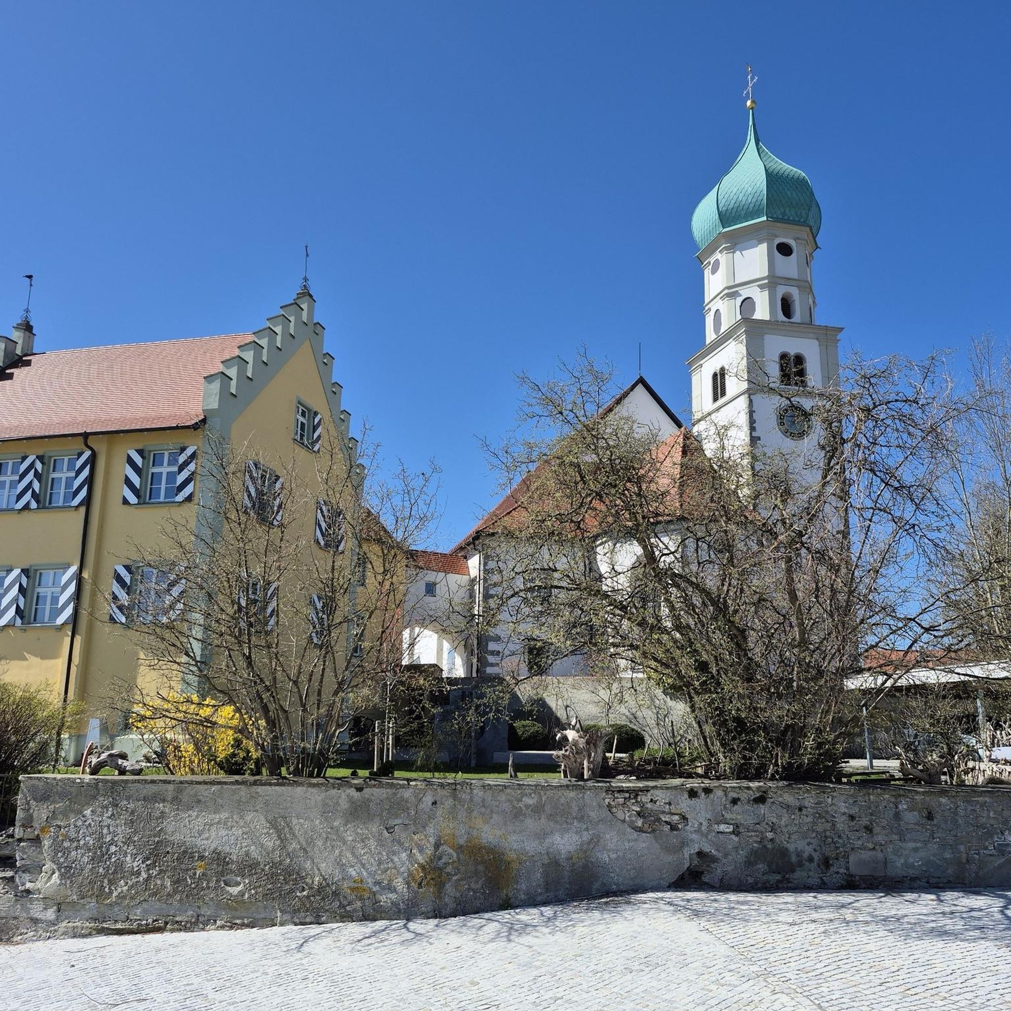
Liestal is a municipality with a rich and eventful past, dating back to Roman and pre-Roman times. The town was often under the influence of Basel. The town's landmark is the Obere Tor (Törli), a remnant of the medieval fortification. Liestal offers a rich cultural scene.
0
0

Newly paved cycle path between Grellingen and Dugingen
1
0

“Behold, the Heart of the Redeemer – an understandable sign of his invincible love and an inexhaustible source of true peace. In him, ‘the whole fullness of deity dwells bodily’ (Col 2:9). The peace that Christ brought to the earth comes precisely from this fullness and this love. It is the gift of a loving God who loved humanity in the heart of his only-begotten Son. ‘He is our peace’ (cf. Phil 2:14) – cries Saint Paul. Yes, Jesus is peace, he is our reconciliation. (…) As we venerate his Most Sacred Heart today, we pray earnestly for peace: first for peace in our hearts, but also for peace in our families, in our country, and throughout the whole world: Heart of Jesus, our peace and our reconciliation, have mercy on us!” (Address by Pope John Paul II on June 7, 1999, in Thorn)
0
0

Whether the body of water is truly a reservoir or more like an Alsatian carp pond, I cannot and will not judge – the location at the very back of the Lützeltal valley and the beautiful nature all around is wonderful nonetheless.
0
0

There are better places to admire the Birs: It's always quite busy and there's heavy traffic here. Therefore, I recommend: Take a look as you drive by and move on.
0
0
With the construction of the new railway line between Aesch and Grellingen, the cycle path was also renovated. It is now completely paved. In Grellingen, near the former paper mill, the path connects to the railway line in such a way that crossing the tracks is no longer necessary. A great connection and very safe, much better than the parallel Grellingerstrasse road above.
1
0

In Laufen, in the old town, there's a superb bakery with delicious things. Cozy and delicious.
0
0
Frequently Asked Questions
How many road cycling routes are available around Nunningen?
There are over 70 road cycling routes in the Nunningen area, catering to various preferences and skill levels. The komoot community has explored more than 70 routes, with options ranging from easy river paths to challenging climbs.
What are the typical difficulty levels for road cycling routes in Nunningen?
The road cycling routes around Nunningen offer a diverse range of difficulty levels. You'll find 13 easy routes, 37 moderate routes, and 24 difficult routes, ensuring options for both leisurely rides and demanding climbs through the Solothurn & Baselbieter Jura.
What kind of terrain can I expect on road cycling routes near Nunningen?
The terrain around Nunningen is highly varied, characterized by the diverse topography of the Solothurn & Baselbieter Jura. Cyclists can expect a mix of river paths, winding roads with significant elevation gains, and scenic descents. Notable features include river valleys like Kaltbrunnental and ascents towards panoramic viewpoints.
When is the best time of year for road cycling in Nunningen?
The region is generally excellent for road cycling during the warmer months, from spring through autumn. The varied topography means conditions can change, especially at higher elevations. It's always a good idea to check local weather forecasts before heading out.
Are there any circular road cycling routes in the Nunningen area?
Yes, many of the road cycling routes around Nunningen are designed as loops, allowing you to start and finish in the same location. For example, the Winding Road Towards Seewen – View of Hochwald loop from Nunningen is a popular moderate option that offers great views.
What scenic viewpoints can I reach by road bike around Nunningen?
The Nunningen area offers several rewarding viewpoints. The Hohe Winde summit provides sensational panoramic views of the distant Alps, Vosges mountains, and the Black Forest. Another excellent vantage point is the Gempenturm Observation Tower, offering further opportunities to appreciate the regional landscape.
Are there any historical landmarks or natural features to see along the road cycling routes?
Absolutely. The region is rich in natural beauty and historical sites. You can explore the romantic paths of the Kaltbrunnental Gorge, which is part of the Monastery Route. Additionally, you might encounter historical structures like the Pfeffingen Castle Ruins or Angenstein Castle along various routes.
Are there family-friendly road cycling routes in Nunningen?
While many routes involve elevation, there are options suitable for families. The The Birs River at Angenstein – Hidden Path Along the Birs loop from Bezirk Thierstein is an easy 44.7 km route that follows the Birs River, offering scenic views along the water and a gentler experience.
What do other road cyclists enjoy most about road cycling in Nunningen?
The komoot community highly rates the road cycling experience in Nunningen, with an average score of 4.5 stars from over 290 reviews. Cyclists often praise the varied topography, the mix of challenging ascents and scenic descents, and the beautiful natural features like river valleys and panoramic viewpoints.
Are there any routes that offer a good challenge for advanced road cyclists?
Yes, advanced cyclists will find plenty of challenging routes. The region is known for significant ascents like those found on the Passwang and towards Hohe Winde. Routes such as the Catholic Church of Laufen – Blasting down to Kleinlützel loop from Grellingen, with its varied terrain and substantial elevation, provide a good test for experienced riders.
Where can I find parking for road cycling trails in Nunningen?
Nunningen and its surrounding villages typically offer various parking options, often near trailheads or public facilities. It's advisable to check local signage or specific route descriptions on komoot for designated parking areas closest to your chosen starting point.
Can I access road cycling routes in Nunningen using public transport?
Nunningen is part of Switzerland's well-connected public transport network. Many routes are accessible from train stations or bus stops in Nunningen or nearby towns like Laufen and Liestal, allowing you to reach starting points without a car. Always check public transport schedules and bicycle transport regulations beforehand.
Most popular routes around Nunningen
Most popular attractions around Nunningen

Get inspired with the komoot mobile app


Explore more
Browse the best Road cycling routes in other regions.
