The best running trails around Kirchschlag bei Linz
4.5
(109)
3,027
runners
13
runs
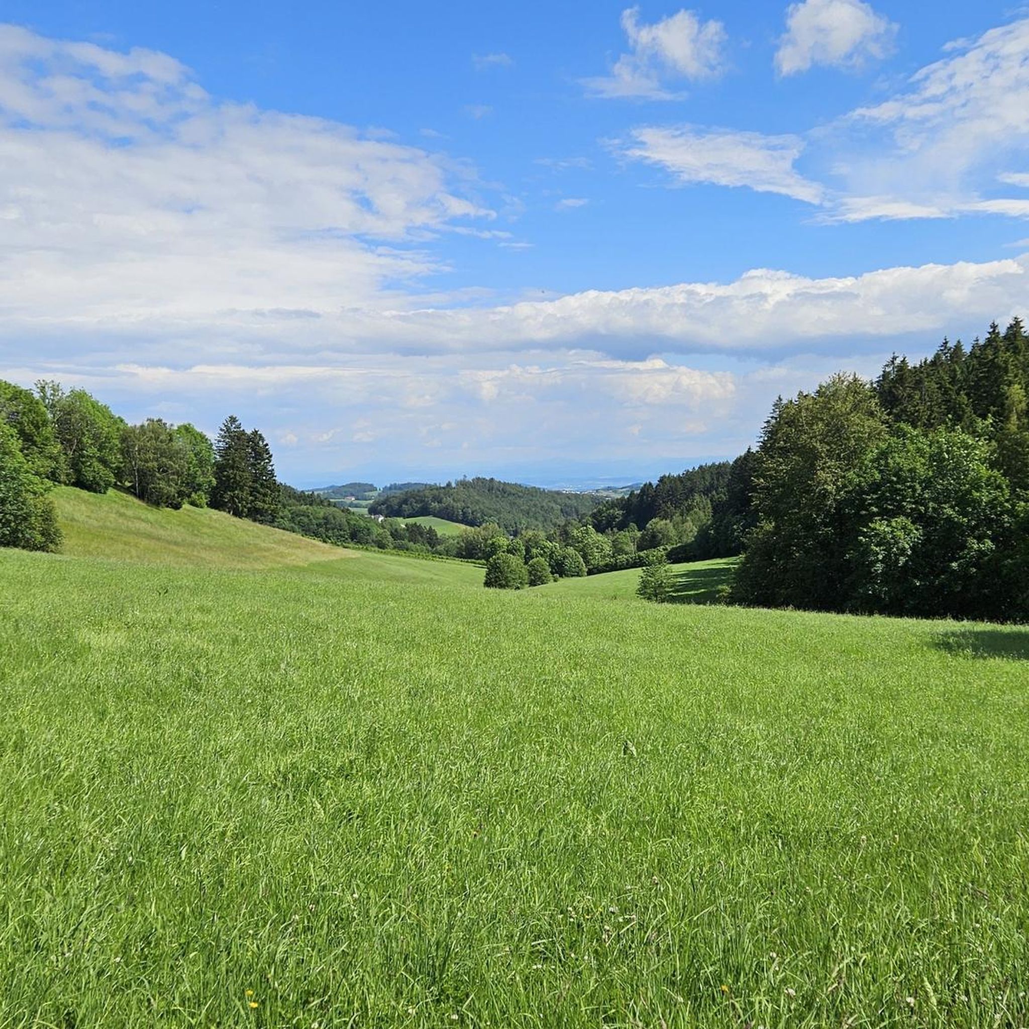
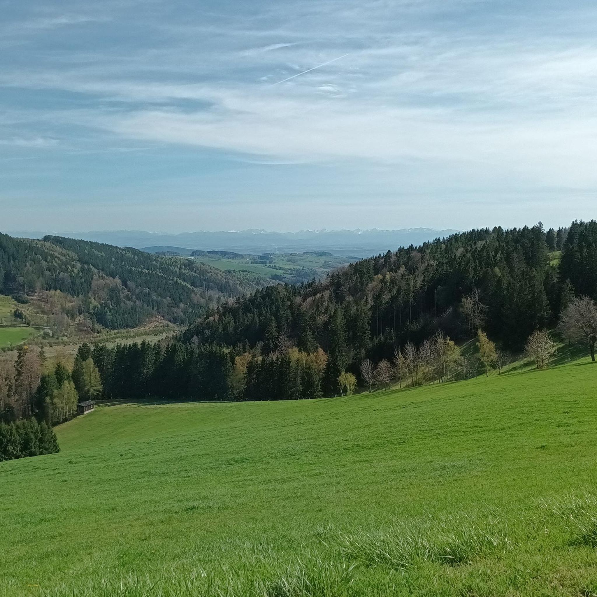
Jogging routes around Kirchschlag bei Linz offer diverse terrain within the rolling hills of the Mühlviertel region, characterized by lush forests and panoramic viewpoints. The area provides a natural setting for running, with features like Breitenstein and Giselawarte offering both elevation and scenic outlooks. Runners can expect a mix of forest paths and trails with varying gradients, providing opportunities for different fitness levels. The region is known for its clear air and captivating views, extending towards Linz.
Best jogging routes around Kirchschlag bei Linz
- The most popular jogging route is Breitenstein Lookout Tower – Breitenstein loop from Bezirk Urfahr-Umgebung, a 5.9 miles (9.5 km) trail that takes 1 hour 3 minutes to complete. This moderate route features the Breitenstein Lookout Tower, offering views over the surroundings.
- Another top favourite among local runners is Great View – Breitenstein Lookout Tower loop from Bezirk Urfahr-Umgebung, a moderate 6.3 miles (10.1 km) path. This running route also incorporates the Breitenstein Lookout Tower, providing a rewarding outlook.
- Local runners also love the Zur Gis Inn – Giselawarte loop from Kirchschlag bei Linz, a 20.8 miles (33.5 km) trail leading through varied terrain towards the Giselawarte, often completed in about 4 hours 2 minutes.
- Jogging around Kirchschlag bei Linz is defined by rolling hills, dense forests, and prominent viewpoints like Breitenstein and Giselawarte. The network offers options for different ability levels, from moderate runs to more challenging trails with significant elevation.
- The routes in Kirchschlag bei Linz are highly rated by the komoot community with an average score of 4.5 stars from over 90 reviews. More than 3000 runners have used komoot to explore Kirchschlag bei Linz's varied terrain.
Last updated: July 20, 2026
4.5
(2)
30
runners
Moderate run. Good fitness required. Mostly paved surfaces. Suitable for all skill levels.
24
runners
10.1km
01:06
200m
200m
Moderate run. Good fitness required. Mostly paved surfaces. Suitable for all skill levels.

Sign up for free
5.0
(1)
14
runners
33.5km
04:02
1,050m
1,050m
Hard run. Very good fitness required. Mostly paved surfaces. Suitable for all skill levels.
13
runners
8.00km
00:53
130m
130m
Moderate run. Good fitness required. Mostly paved surfaces. Suitable for all skill levels.
11
runners
5.00km
00:34
100m
100m
Moderate run. Good fitness required. Mostly paved surfaces. Suitable for all skill levels.
Get access to more routes and recommendations from other explorers.
Sign up for free
Already have an account?
Our route recommendations are based on thousands of hikes, rides, and runs completed by other people on komoot.
Start today with a free account
Your next adventure awaits.
Login or Signup
Tips from the Community

The summit cross on the Gis (Lichtenberg) was completely renewed and re-consecrated in June 2026!
3
0
Giselawarte was built in 1856 and named after Princess Gisela, a daughter of Emperor Franz Joseph. In 1960, it was increased by two stories.
3
0
Built in 1856 and named after Princess Gisela, a daughter of Emperor Franz Joseph. In 1960, two stories were added.
3
0

Built in 1856, the Giselawarte is located at 927m above sea level.
0
0

The parish church of St. Anne, with its attached parish office and parish hall, is well worth a visit.
0
0

Transmitter near Lichtenberg
6
0
Cross at the Gisela Tower
6
0

Frequently Asked Questions
How many running routes are available in Kirchschlag bei Linz?
There are 13 dedicated running routes around Kirchschlag bei Linz, offering a variety of experiences for different fitness levels. These routes are highly rated by the komoot community, with an average score of 4.5 stars.
What kind of terrain can I expect on the jogging trails in Kirchschlag bei Linz?
The jogging trails in Kirchschlag bei Linz feature varied terrain, primarily within the rolling hills of the Mühlviertel region. You'll encounter a mix of forest paths and trails with varying gradients, some requiring good fitness due to elevation changes. The area is known for its lush forests and panoramic viewpoints.
Are there any challenging running routes for experienced runners?
Yes, for experienced runners seeking a challenge, the region offers routes with significant elevation. A notable difficult trail is the Zur Gis Inn – Giselawarte loop from Kirchschlag bei Linz, which spans 20.8 miles (33.5 km) and includes over 1000 meters of elevation gain, leading towards the prominent Giselawarte peak.
Can I find running routes with scenic viewpoints in Kirchschlag bei Linz?
Absolutely. Kirchschlag bei Linz, often called the 'Sonnenterrasse von Linz', is rich in panoramic views. Routes often incorporate prominent viewpoints like the Breitenstein Lookout Tower, which offers views over the surroundings. The 'Höhenrausch' Lookout Point also provides breathtaking vistas over Kirchschlag and towards Linz.
Are there any circular running routes available?
Many of the running routes in Kirchschlag bei Linz are designed as loops, allowing you to start and end at the same point. Examples include the popular Breitenstein Lookout Tower – Breitenstein loop from Bezirk Urfahr-Umgebung and the Running loop from Bezirk Urfahr-Umgebung, both offering a complete circuit.
What natural features or landmarks can I see along the running trails?
The trails often pass through lush forests and offer views of rolling hills. Notable landmarks and natural features include the Breitenstein Lookout Tower and the Giselawarte peak. You might also encounter the Pfenningberg Summit Cross or the Waxenberg Castle Ruins in the wider area around Kirchschlag bei Linz.
Are there any family-friendly jogging options in the area?
While specific 'easy' routes are not highlighted in the top selections, the diverse network of trails includes options suitable for various fitness levels. Many routes offer mostly paved surfaces or easily accessible paths, making them suitable for families looking for a moderate run or walk. The region's pleasant atmosphere and forest-rich location are ideal for outdoor activities with children.
What do other runners enjoy most about jogging in Kirchschlag bei Linz?
The area is highly rated by the komoot community, with an average score of 4.5 stars from over 90 reviews. Runners often praise the diverse terrain, the captivating panoramic views, and the well-maintained trails that provide a natural setting for their runs. The clear, fog-free air, especially around the 'Sonnenterrasse von Linz', is also frequently appreciated.
Are there places to eat or drink near the running routes?
Yes, there are several huts and inns in the vicinity where you can refuel after your run. Options include the Zur Gis Inn, Pelmbergstüberl, and Roadlhof Inn, among others, offering a chance to relax and enjoy local hospitality.
Is Kirchschlag bei Linz suitable for winter jogging?
Kirchschlag bei Linz offers outdoor activities year-round. While specific winter jogging routes are not detailed, the region is known for its winter sports opportunities, suggesting that some trails may be accessible for jogging during the colder months, weather permitting. Always check local conditions and trail maintenance before heading out in winter.
Are there any shorter running loops for a quick workout?
Yes, if you're looking for a shorter run, there are options available. For instance, the Running loop from Kirchschlag bei Linz is a moderate 3.1-mile (5 km) trail that can be completed in about 33 minutes, perfect for a quick and refreshing workout.
What is the best time of year to go running in Kirchschlag bei Linz?
The region is beautiful throughout the year, but spring and autumn are particularly recommended. In spring, the lush green forests are vibrant, and in autumn, the changing foliage creates a stunning backdrop for your runs, especially from viewpoints like 'Höhenrausch'.
Most popular routes around Kirchschlag bei Linz
Most popular attractions around Kirchschlag bei Linz

Get inspired with the komoot mobile app


Explore more
Browse the best Running Trails & Routes in other regions.
