The best mountain hikes around Kirchschlag bei Linz
46
hikers
10
hikes
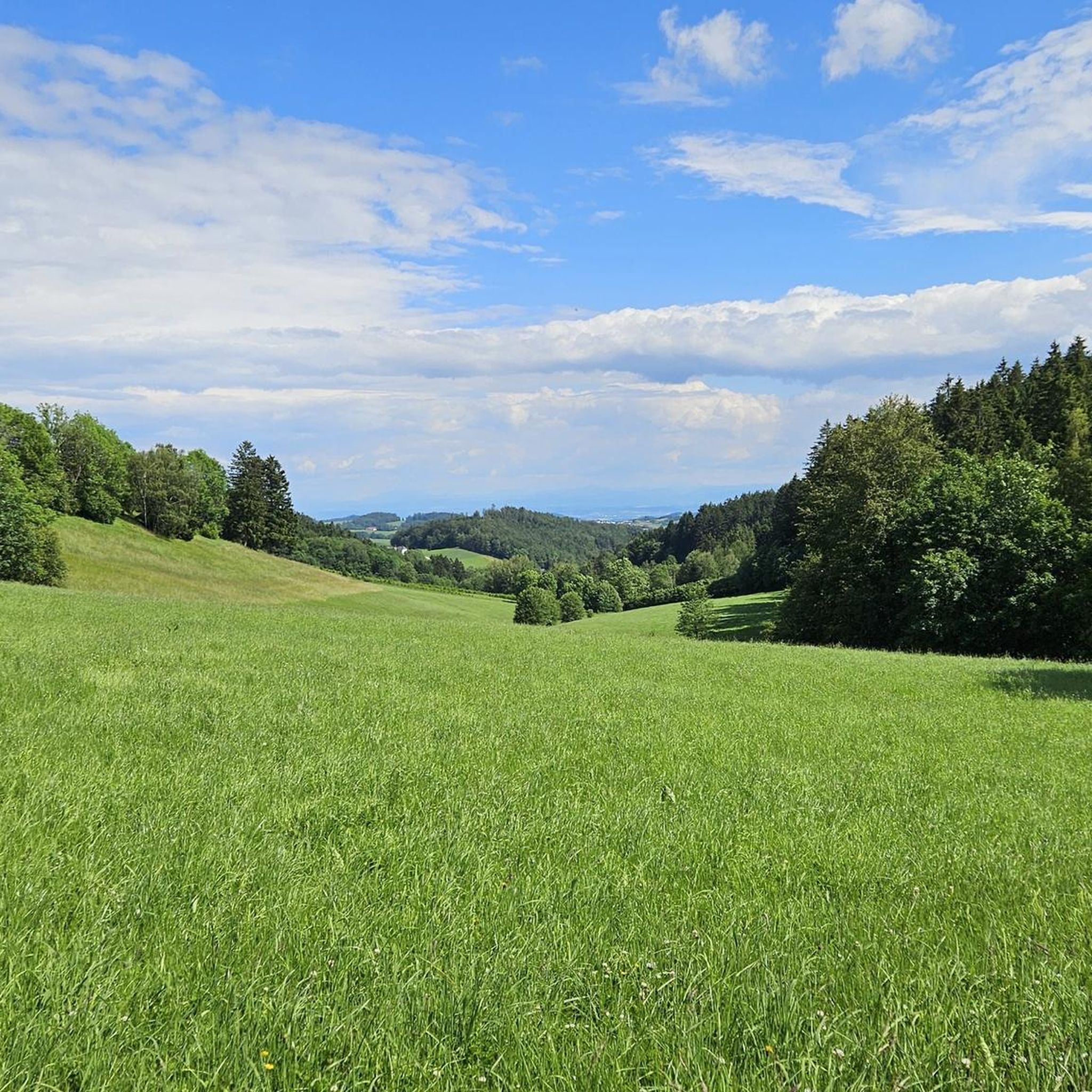
Mountaineering routes around Kirchschlag bei Linz traverse the rolling Mühlviertel Hills, characterized by lush green forests and elevated terrain that offers distant views. The region provides a mix of challenging ascents to peaks like Giselawarte (927 m) and Breitenstein (956 m), alongside routes through scenic woodlands. Its "fog-free high altitude air" contributes to clear conditions for exploring the varied landscape.
Best mountaineering routes around Kirchschlag bei Linz
- The most popular mountaineering route is Gis Transmitter and Rest Area – Giselawarte…
Last updated: May 17, 2026
14
hikers
16.6km
05:11
660m
660m
Hard mountaineering route. Very good fitness required. Easily-accessible paths. Suitable for all skill levels.
5
hikers
Moderate mountaineering route. Good fitness required. Easily-accessible paths. Suitable for all skill levels.

Sign up for free
6
hikers
Moderate mountaineering route. Good fitness required. Easily-accessible paths. Suitable for all skill levels.
3
hikers
Moderate mountaineering route. Good fitness required. Easily-accessible paths. Suitable for all skill levels.
3
hikers
Moderate mountaineering route. Good fitness required. Easily-accessible paths. Suitable for all skill levels.
Get access to more routes and recommendations from other explorers.
Sign up for free
Already have an account?
Our route recommendations are based on thousands of hikes, rides, and runs completed by other people on komoot.
Start today with a free account
Your next adventure awaits.
Login or Signup
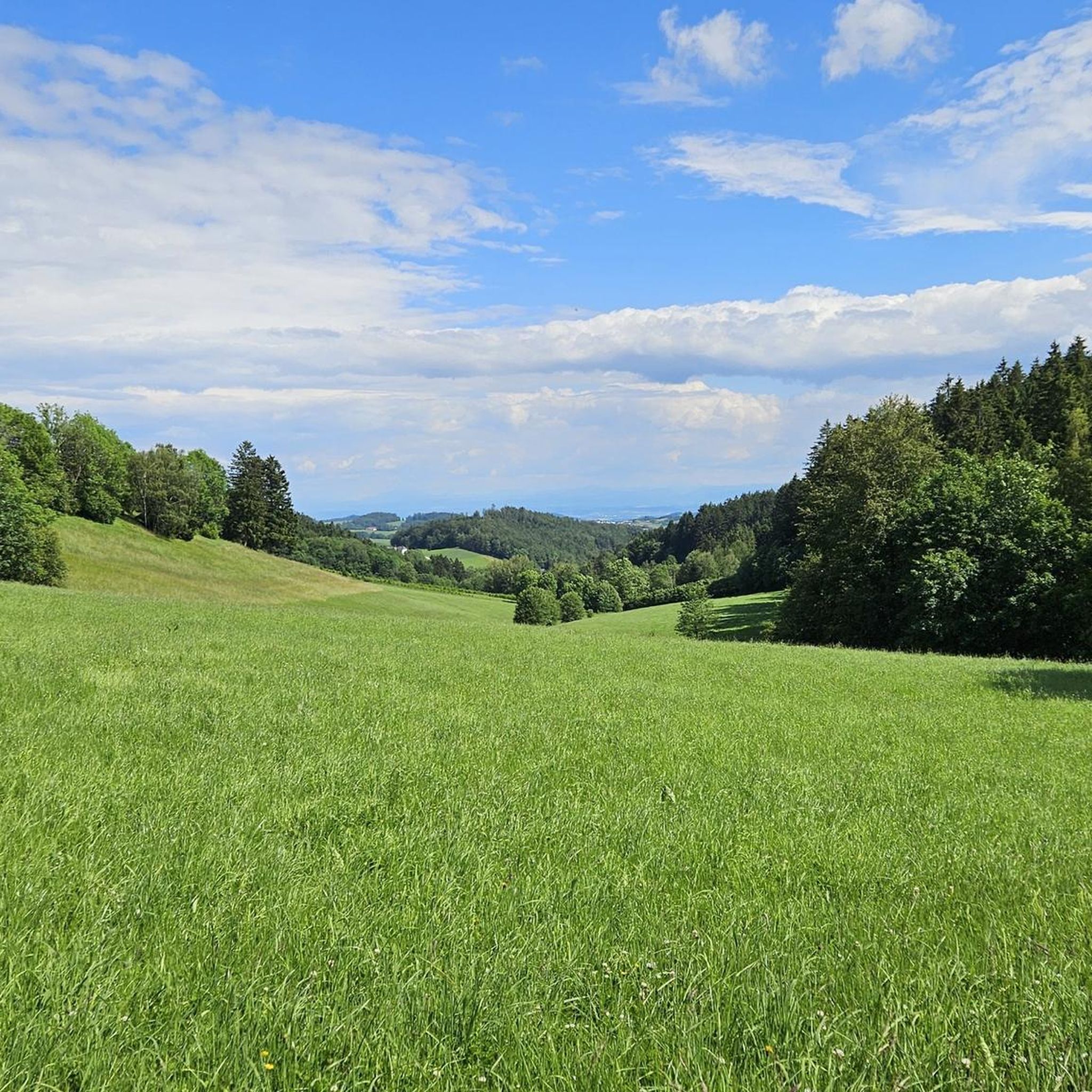
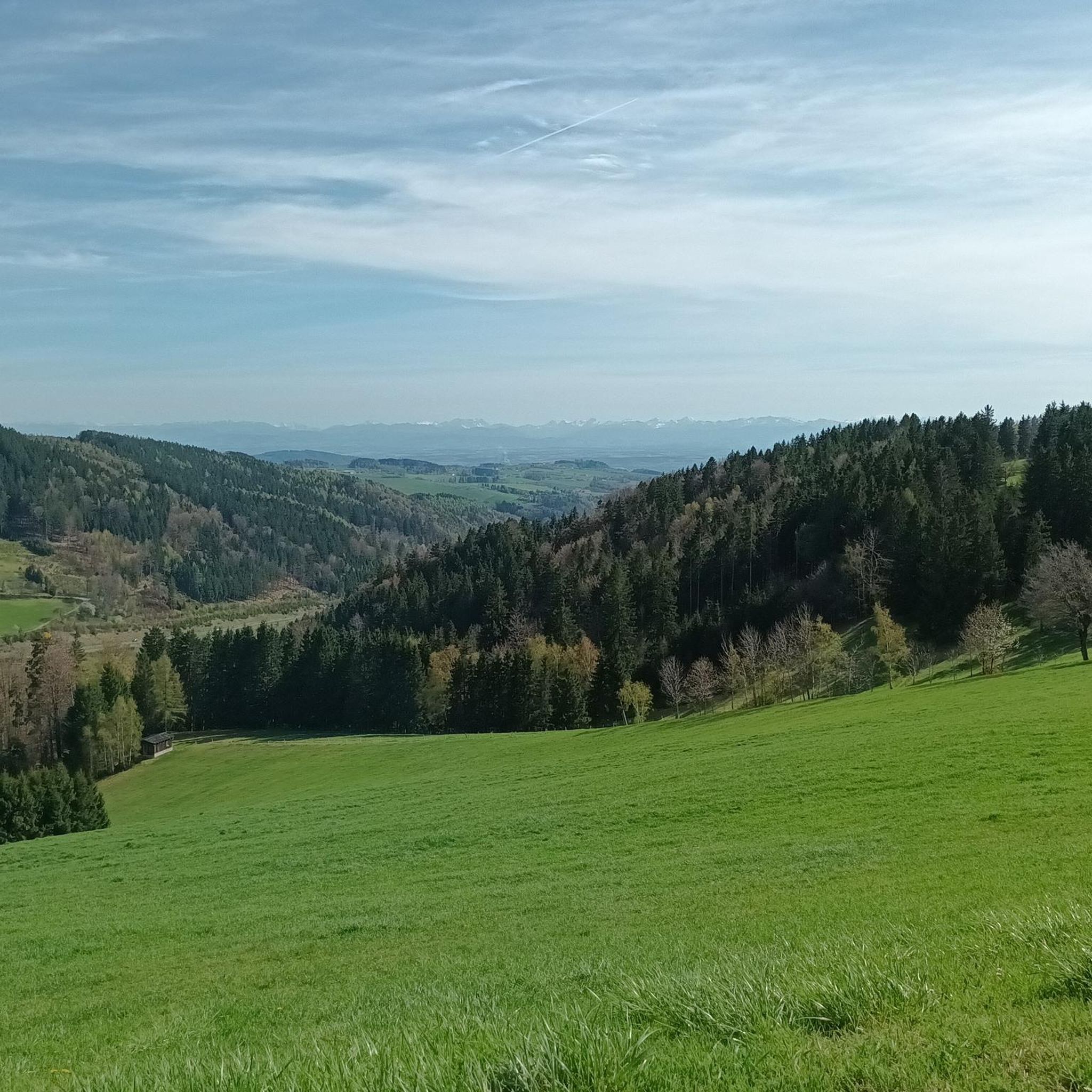
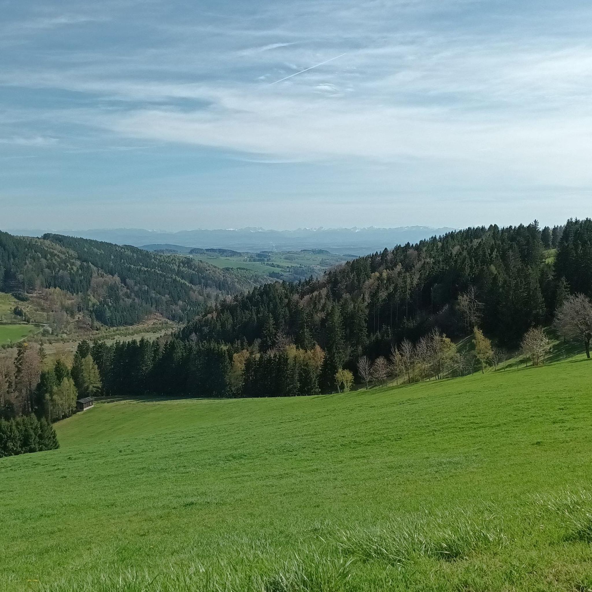
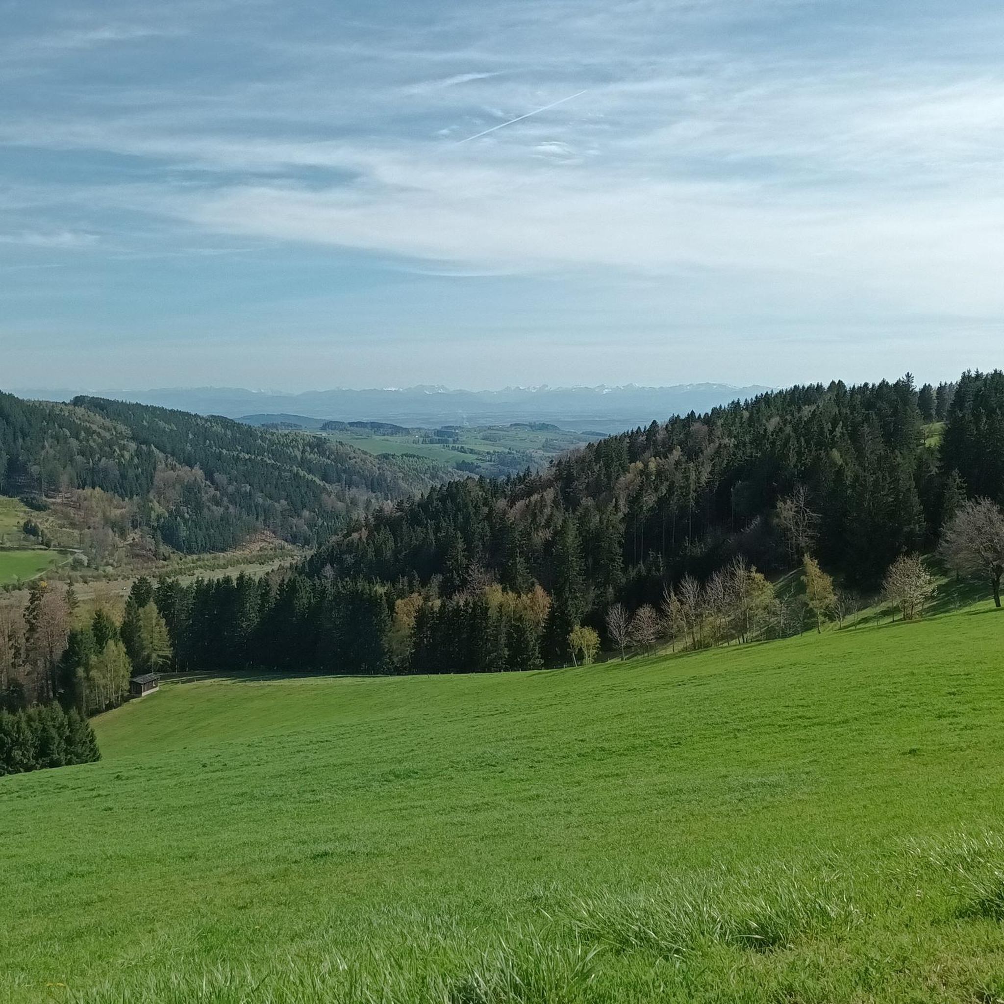
Tips from the Community

Built in 1856, the Giselawarte is located at 927m above sea level.
0
0

Transmitter near Lichtenberg
6
0
Cross at the Gisela Tower
6
0


The mouflon herd inhabits the pulpit.
1
0
A Linz city summit for every season and every type of weather.
2
0
Frequently Asked Questions
How many mountaineering routes are available around Kirchschlag bei Linz?
There are over 10 distinct mountaineering routes around Kirchschlag bei Linz, offering a variety of experiences through the rolling Mühlviertel Hills and lush forests. Most of these are categorized as moderate, with a few more challenging options available.
What kind of terrain can I expect on mountaineering routes in Kirchschlag bei Linz?
Mountaineering routes in Kirchschlag bei Linz primarily traverse the rolling Mühlviertel Hills, characterized by lush green forests and elevated terrain. You can expect a mix of forest paths, open viewpoints, and some demanding ascents, particularly towards peaks like Giselawarte and Breitenstein. The region is known for its 'fog-free high altitude air' which often provides clear, distant views.
Are there mountaineering routes suitable for beginners in Kirchschlag bei Linz?
While traditional 'easy' mountaineering routes are less common, many of the moderate trails can be a good starting point for those with some hiking experience. For example, the Waxenberg Castle Ruins – St. Veit Church in Mühlkreis loop from St. Veit im Mühlkreis is a moderate 5.3-mile route that offers a taste of the region's landscape without extreme difficulty.
Where can I find more challenging mountaineering routes near Kirchschlag bei Linz?
For more demanding experiences, consider routes that lead to higher peaks. The Gis Transmitter and Rest Area – Giselawarte loop from St. Magdalena is a difficult 10.2-mile trail featuring significant elevation gain and panoramic views from Giselawarte (927 m).
Are there family-friendly options for outdoor activities that complement mountaineering in the area?
Absolutely! While dedicated family-friendly mountaineering routes are limited, the region offers several activities suitable for families. The Culture Trail (Kulturweg Kirchschlag) is a circular trail with playgrounds. Additionally, Breitenstein features a high ropes course and a children's climbing park, providing aerial challenges and climbing elements for various age groups under professional supervision.
Are there any circular mountaineering routes around Kirchschlag bei Linz?
Yes, several routes are designed as loops, allowing you to start and end at the same point. A popular option is the Mushroom rock in Silberhartschlag – Sternstein Observation Tower loop from Bad Leonfelden, a moderate 9.7-mile path that takes you through varied terrain.
What natural landmarks or viewpoints can I discover along the mountaineering routes?
The region is rich in natural beauty and offers stunning viewpoints. You can reach the Giselawarte (927 m) for panoramic vistas, or explore the area around Breitenstein (956 m). The 'Höhenrausch' Lookout Point provides breathtaking views over Kirchschlag and Linz, especially vibrant in autumn. Lake Pleschingen, a nature reserve, also offers magnificent views and diverse flora and fauna.
Are there any historical sites or castles to see near the mountaineering trails?
Yes, the region has historical significance. You can explore the Waxenberg Castle Ruins, which is part of a popular mountaineering loop. Other nearby castles include Linz Castle and Reichenau Castle Ruins, offering glimpses into the area's past.
Are there places to eat or rest along the mountaineering routes?
Yes, you'll find several inns and restaurants that can serve as convenient resting points. For example, the Zur Gis Inn is located near a mountaineering loop. Other options include Pelmbergstüberl, Roadlhof Inn, and Eidenberger Alm, which are popular spots for hikers.
What is the best time of year for mountaineering in Kirchschlag bei Linz?
The region is generally pleasant for mountaineering from spring through autumn. The 'Höhenrausch' Lookout Point is particularly vibrant when the autumn leaves change color. While winter mountaineering is possible, conditions can vary, and some trails may require specific gear or experience due to snow and ice.
Are there dog-friendly mountaineering routes in Kirchschlag bei Linz?
Many of the trails in the Mühlviertel Hills are suitable for dogs, provided they are kept on a leash and you adhere to local regulations regarding nature protection. It's always recommended to check specific trail rules or local signage, but generally, the forest paths and open landscapes are welcoming for well-behaved dogs.
What do other mountaineers enjoy most about the routes in Kirchschlag bei Linz?
Mountaineers frequently praise the diverse landscape, from dense forests to open hills, and the rewarding panoramic views from elevated points like Giselawarte. The well-marked trails and the opportunity to combine natural exploration with visits to historical sites like Waxenberg Castle Ruins are also highly appreciated.
Most popular routes around Kirchschlag bei Linz
Most popular attractions around Kirchschlag bei Linz

Get inspired with the komoot mobile app


Explore more
Browse the best Mountain Hikes & Routes in other regions.
