The best gravel rides around Hillsborough
26
riders
4
rides
Gravel biking around Hillsborough offers a diverse landscape for riders, characterized by coastal paths, rolling hills, and routes that often provide views of the Pacific Ocean. The region features varied terrain, including sections with significant elevation gain and forested areas. Many trails incorporate a mix of paved and unpaved surfaces, suitable for gravel bikes.
Best gravel bike trails around Hillsborough
- The most popular gravel bike trail is Baquiano Trail – Rockaway Beach loop from Sky Ridge, a 28.2 miles…
Last updated: August 2, 2026
13
riders
95.0km
06:32
1,750m
1,750m
Hard gravel ride. Very good fitness required. You may need to push your bike for some segments of this route.
7
riders
118km
07:56
1,750m
1,750m
Hard gravel ride. Very good fitness required. Mostly paved surfaces. Suitable for all skill levels.

Sign up for free
3
riders
31.1km
02:05
480m
480m
Hard gravel ride. Very good fitness required. Mostly paved surfaces. Suitable for all skill levels.
3
riders
25.7km
01:44
400m
400m
Moderate gravel ride. Good fitness required. Mostly paved surfaces. Suitable for all skill levels.
Our route recommendations are based on thousands of hikes, rides, and runs completed by other people on komoot.
Start today with a free account
Your next adventure awaits.
Login or Signup
Tips from the Community

A fun, pretty place to stop while riding Cañada road. I has water and an air pump and bathrooms. Take a photo with friends.
0
0

Once part of the Southern Pacific Railroad, this station is now served by local and limited-service Caltrain operations.
0
0

Miramar Beach offers a serene coastal escape with sandy shores and scenic vistas. Visitors can enjoy leisurely walks along the shoreline or explore the nearby California Coastal Trail, which provides stunning ocean views and connects to other local attractions.
0
0
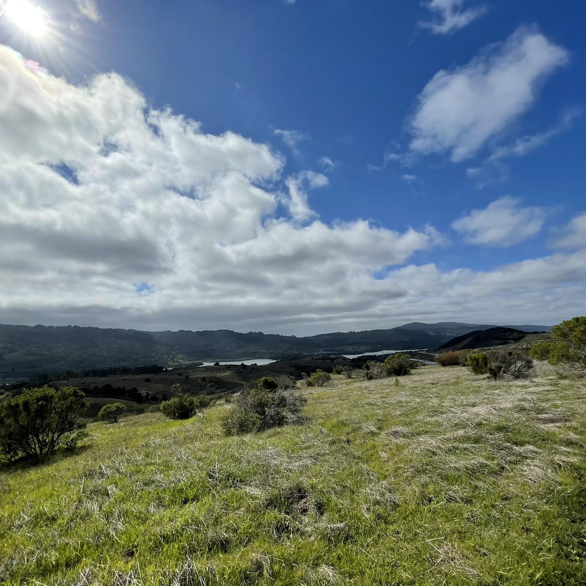
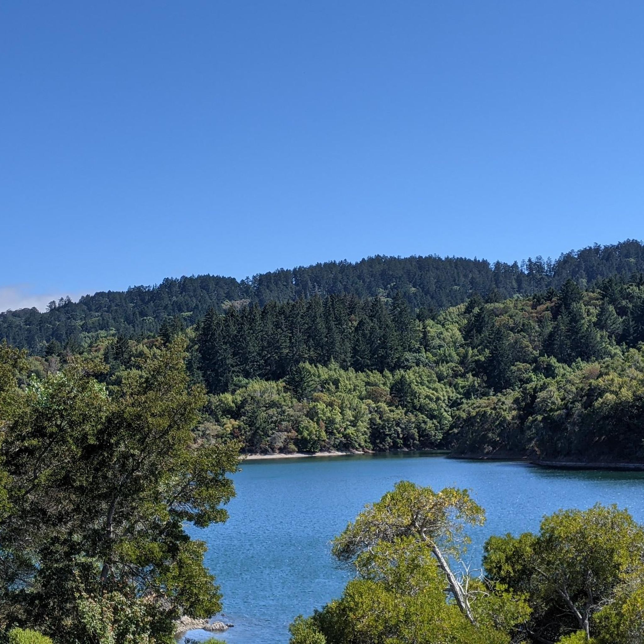
Lower Crystal Springs Reservoir is part of the Crystal Springs Reservoir system, and provides water to the San Francisco Bay Area. The area surrounding the reservoir is rich in biodiversity, home to rare and endangered species like the San Mateo thornmint and the Marin Dwarf Flax. While recreational activities on the water are restricted to protect the watershed, the adjacent Crystal Springs Regional Trail offers scenic views for hikers and cyclists.
0
0
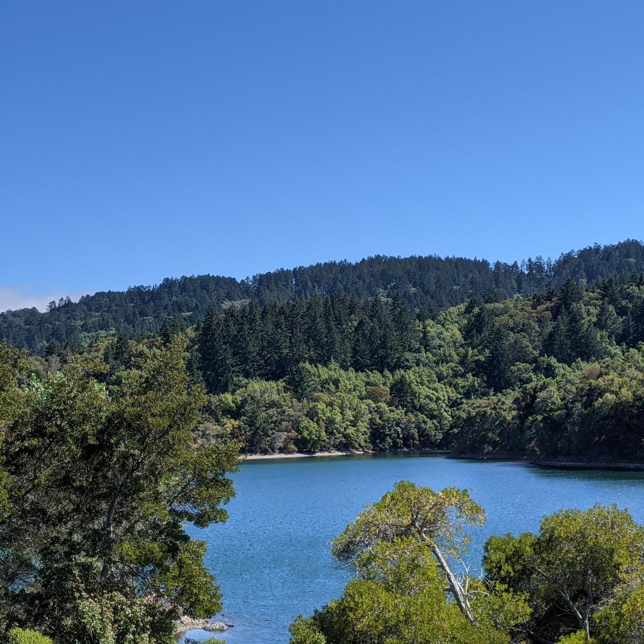
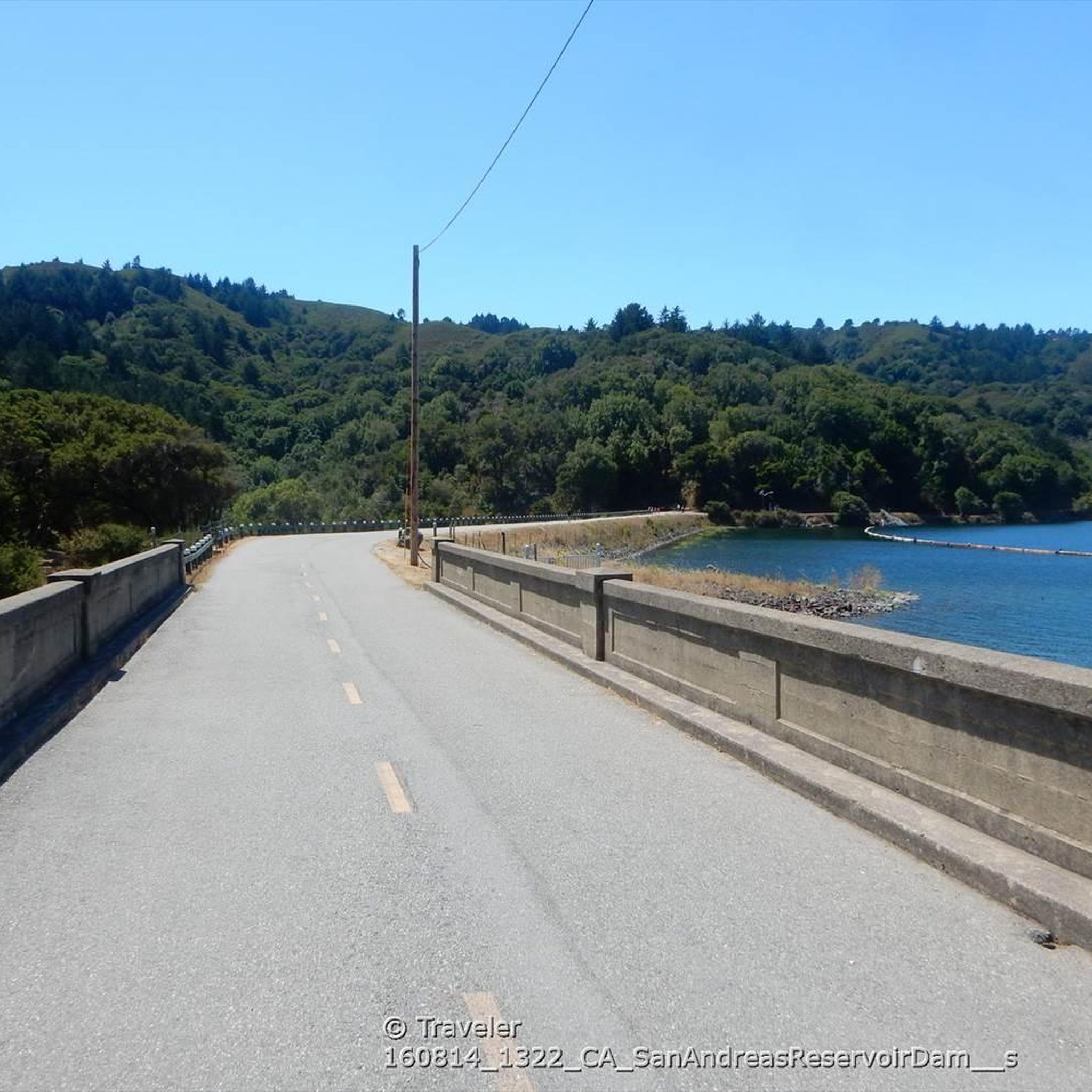
San Andreas Lake is a hidden gem tucked into the hills of San Mateo County, just south of San Francisco. Originally a natural sag pond formed by the San Andreas Fault, it was transformed into a reservoir in the late 1800s and now serves as a vital water source for the region. The lake is off-limits for swimming or boating, but you can enjoy its peaceful beauty from the San Andreas Trail or the popular Sawyer Camp Trail, which runs along its eastern edge. It's a serene spot where you can walk or bike with sweeping views of the water and surrounding hills, all while standing right on one of the world’s most famous fault lines. Despite its proximity to urban life, San Andreas Lake offers a quiet, scenic escape steeped in natural and historical significance.
1
0

At the top of the John Brooks Trail, you're treated to peaceful views of the surrounding San Francisco Peninsula Watershed.
0
0
You're not hallucinating: This monument was deliberately built in the style of ancient Greek and Roman architecture, to commemorate the Great Depression-era Hetchy Hetchy Project that brought water down from the mountains to the Bay Area. The frieze says, “I give waters in the wilderness and rivers in the desert, to give drink to my people.”
1
0

The Crystal Springs Regional Trail is a top spot for cyclists, featuring mostly paved paths with minimal car traffic. The trail runs through scenic areas like Lower Crystal Springs Reservoir, offering beautiful lake views. On Sundays, you can ride the car-free Cañada Road segment for a more relaxed experience. Be mindful of the 15 mph speed limit, especially around hikers. The Sawyer Camp segment provides a gentle descent and stunning views, perfect for an easy ride through woodlands and along the reservoir.
0
1
Frequently Asked Questions
How challenging are the gravel bike trails around Hillsborough?
Gravel biking around Hillsborough primarily offers routes for experienced riders. Most of the trails are rated as difficult, featuring significant elevation gains and varied terrain. For example, the Baquiano Trail – Rockaway Beach loop from Sky Ridge includes over 1,100 meters of ascent. There is one moderate route available, the Gravel loop from Receiving station, which covers 25.9 km with over 500 meters of elevation.
Are there any family-friendly or beginner gravel biking options in Hillsborough?
Given the challenging nature of most routes, Hillsborough is better suited for experienced gravel bikers. There are no easy routes listed, and only one route, the Gravel loop from Receiving station, is rated as moderate. Beginners or families might find the elevation and terrain demanding.
What kind of scenery can I expect on Hillsborough's gravel bike trails?
The gravel bike trails around Hillsborough are known for their diverse and scenic landscapes. You can expect coastal paths with dramatic Pacific Ocean views, such as those found on the Gray Whale Cove State Beach – Devil's Slide South Trailhead loop from Pedro Valley. Many routes also traverse rolling hills and forested areas, offering a mix of natural beauty.
Are there any circular gravel bike routes in Hillsborough?
Yes, many of the gravel bike routes in Hillsborough are designed as loops, allowing you to start and end at the same point. Examples include the popular Baquiano Trail – Rockaway Beach loop from Sky Ridge, the scenic Gray Whale Cove State Beach – Devil's Slide South Trailhead loop from Pedro Valley, and the Gravel loop from Receiving station.
What are some notable landmarks or attractions near the gravel biking routes?
Several natural and man-made attractions are located near the gravel biking routes. You can find the serene San Andreas Lake and the historic Pulgas Water Temple. The coastal routes often pass by beautiful spots like Miramar Beach, offering opportunities to explore beyond the saddle.
How long do the gravel bike trails typically take to complete?
The duration of gravel bike trails in Hillsborough varies significantly based on their length and difficulty. For instance, the Baquiano Trail – Rockaway Beach loop from Sky Ridge, at 45.4 km, typically takes around 3 hours 54 minutes. Shorter, but still difficult, routes like the Sneath Lane Trail – Rockaway Beach loop from Sweeney Ridge (21.4 km) can be completed in about 1 hour 50 minutes.
What is the best season for gravel biking in Hillsborough?
Hillsborough's climate, influenced by its coastal proximity, generally offers pleasant conditions for gravel biking for much of the year. While specific seasonal recommendations depend on personal preference for weather, the varied terrain and coastal views are enjoyable in spring, summer, and fall. Winters can bring rain, which might affect trail conditions on unpaved sections.
Are there any less crowded gravel biking options in Hillsborough?
While specific crowd levels can vary, exploring some of the longer or more challenging routes during off-peak hours or weekdays might offer a more secluded experience. The San Andreas Lake – Kings Mountain Road loop from Hillsdale, being the longest route at 118.4 km, might naturally attract fewer riders seeking a quick spin, potentially offering more solitude.
What should I wear for gravel biking in Hillsborough?
Due to the varied terrain and coastal influence, it's advisable to dress in layers. Weather can change quickly, especially near the coast. Consider moisture-wicking base layers, a windproof or waterproof jacket, and appropriate cycling shorts. Helmets are always recommended, and sturdy gravel-specific shoes will provide comfort and grip on mixed surfaces.
What do other gravel bikers say about the trails in Hillsborough?
The gravel biking routes in Hillsborough are highly regarded by the komoot community, holding an average score of 4.0 stars. Riders often praise the diverse landscapes, from dramatic coastal views to challenging climbs through rolling hills and forested areas, making for a rewarding experience.
Are there options for longer, more extensive gravel bike tours?
Yes, for those seeking a more extensive gravel biking adventure, the San Andreas Lake – Kings Mountain Road loop from Hillsdale stands out. This route is significantly longer, covering 118.4 km with over 1,700 meters of elevation gain, making it a full-day excursion for experienced riders.
Most popular attractions around Hillsborough

Get inspired with the komoot mobile app


Explore more
Browse the best Gravel rides in other regions.
