The best running trails around Hillsborough
4.6
(28)
2,828
runners
141
runs
Jogging around Hillsborough provides access to diverse natural landscapes and dedicated trails. The region is characterized by picturesque riverside forests along the Eno River, varied terrain including bluffs at Occoneechee Mountain State Natural Area, and expansive grounds at historic sites like Ayr Mount. These features create a range of environments suitable for running, from tranquil water views to more challenging elevations.
Best jogging routes around Hillsborough
- The most popular jogging route is Sawyer Camp Recreation Trail – Jepson Laurel loop from Highlands-Baywood Park, a 7.1 miles (11.4 km) trail that takes 1 hour 11 minutes to complete. This route offers a scenic loop along a dedicated recreation trail.
- Another top favourite among local runners is Broadway Caltrain Station – Planespotting location SFO loop from Broadway, a moderate 4.4 miles (7.1 km) path. This route provides open views, including opportunities for planespotting near the airport.
- Local runners also love the Sawyer Camp Recreation Trail loop from Highlands-Baywood Park, a 4.1 miles (6.6 km) trail leading through a well-maintained recreation area, often completed in about 41 minutes.
- Jogging around Hillsborough is defined by riverside paths along the Eno River, diverse terrain at Occoneechee Mountain, and historic trails like the Occoneechee Speedway. The network offers options for various ability levels, from easy greenways to more challenging routes.
- The routes in Hillsborough are highly rated by the komoot community with an average score of 4.6 stars from over 15 reviews. More than 1600 runners have used komoot to explore Hillsborough's varied terrain.
Last updated: October 12, 2026
5.0
(1)
128
runners
6.21km
00:39
40m
40m
Moderate run. Good fitness required. Mostly paved surfaces. Suitable for all skill levels.
74
runners
Moderate run. Good fitness required. Mostly paved surfaces. Suitable for all skill levels.

38
runners
4.82km
00:30
10m
10m
Easy run. Great for any fitness level. Mostly paved surfaces. Suitable for all skill levels.
3.0
(1)
11
runners
9.54km
01:00
30m
30m
Moderate run. Good fitness required. Mostly paved surfaces. Suitable for all skill levels.
9
runners
12.8km
01:21
20m
20m
Moderate run. Good fitness required. Mostly paved surfaces. Suitable for all skill levels.
Get access to more routes and recommendations from other explorers.
Already have an account?
Our route recommendations are based on thousands of hikes, rides, and runs completed by other people on komoot.
Start today with a free account
Your next adventure awaits.

Tips from the Community

Seal Slough, or Marina Lagoon is a narrow tidal channel through salt‑marsh wetlands. It begins at the San Mateo Bay shoreline and winds east into Foster City. It is home to dense cordgrass, pickleweed, and mudflats, as well as invertebrates, fish, and the endangered California clapper rail. Bikers can enjoy the paved Bay Trail segment that follows the slough’s east bank.
1
0

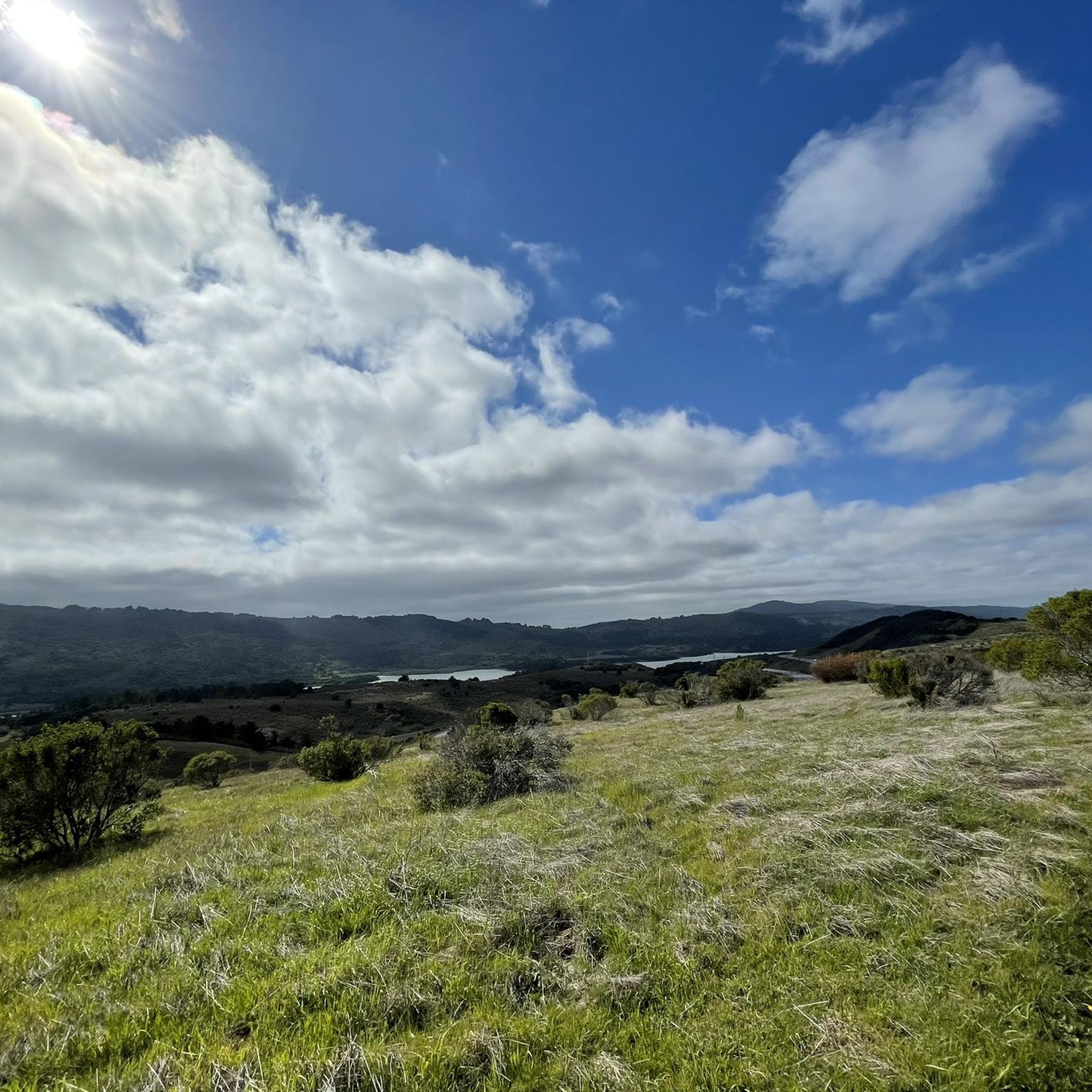
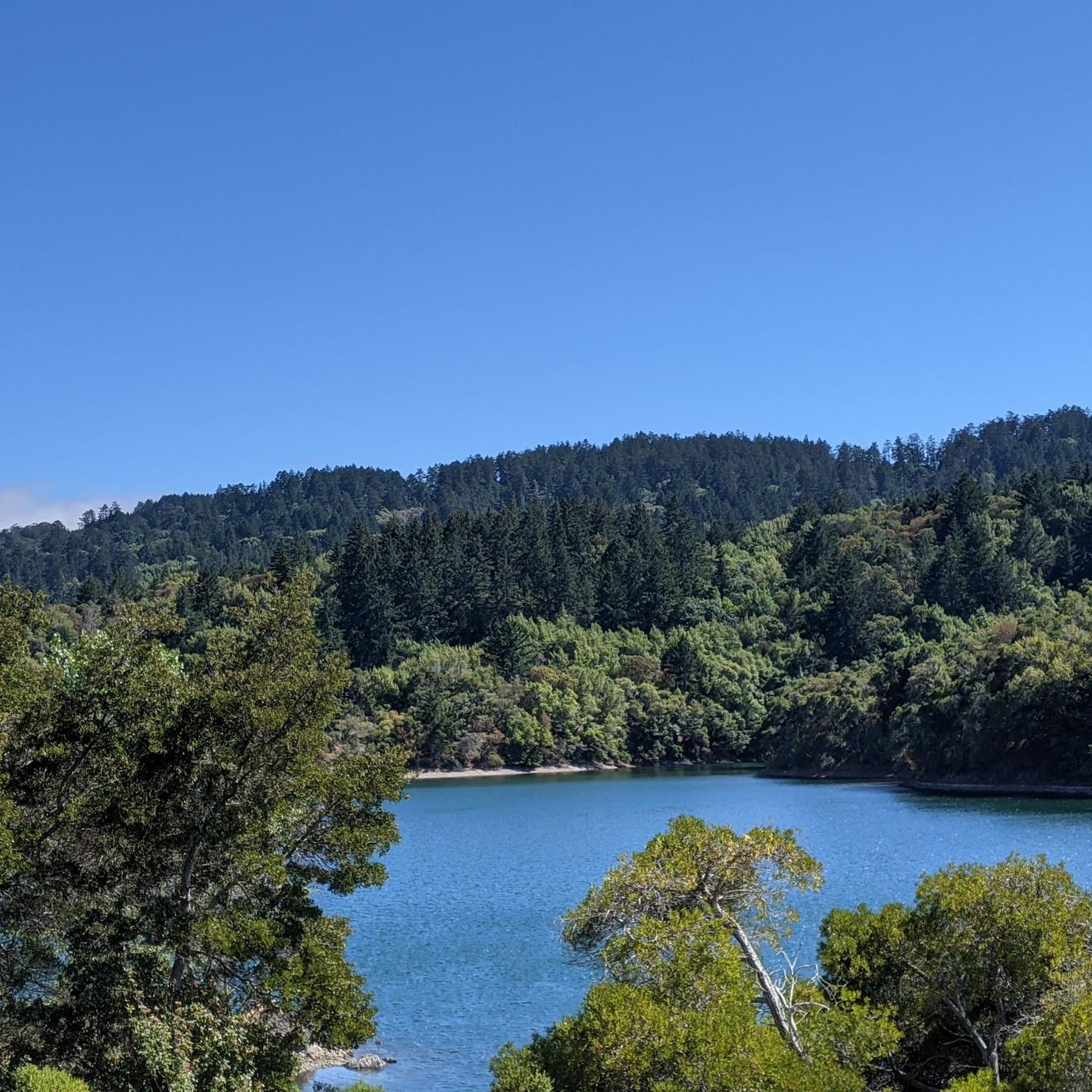
Lower Crystal Springs Reservoir is part of the Crystal Springs Reservoir system, and provides water to the San Francisco Bay Area. The area surrounding the reservoir is rich in biodiversity, home to rare and endangered species like the San Mateo thornmint and the Marin Dwarf Flax. While recreational activities on the water are restricted to protect the watershed, the adjacent Crystal Springs Regional Trail offers scenic views for hikers and cyclists.
0
0
Located right on the water, this is a great place to walk, picnic, or workout on the outdoor gym equipment.
1
0
This small park punches well above its weight. There are great fishing, bird watching, and wildlife viewing opportunities. It's also located just south of SFO, so plane watchers can get their fill of watching the take-offs and landing.
0
0

Seal Point Park has walking and biking trails, a boardwalk that's great for birding, and a 3-acre dog park.
0
0
This is an easy, paved multiuse trail that leads to Seal Point Park.
0
0

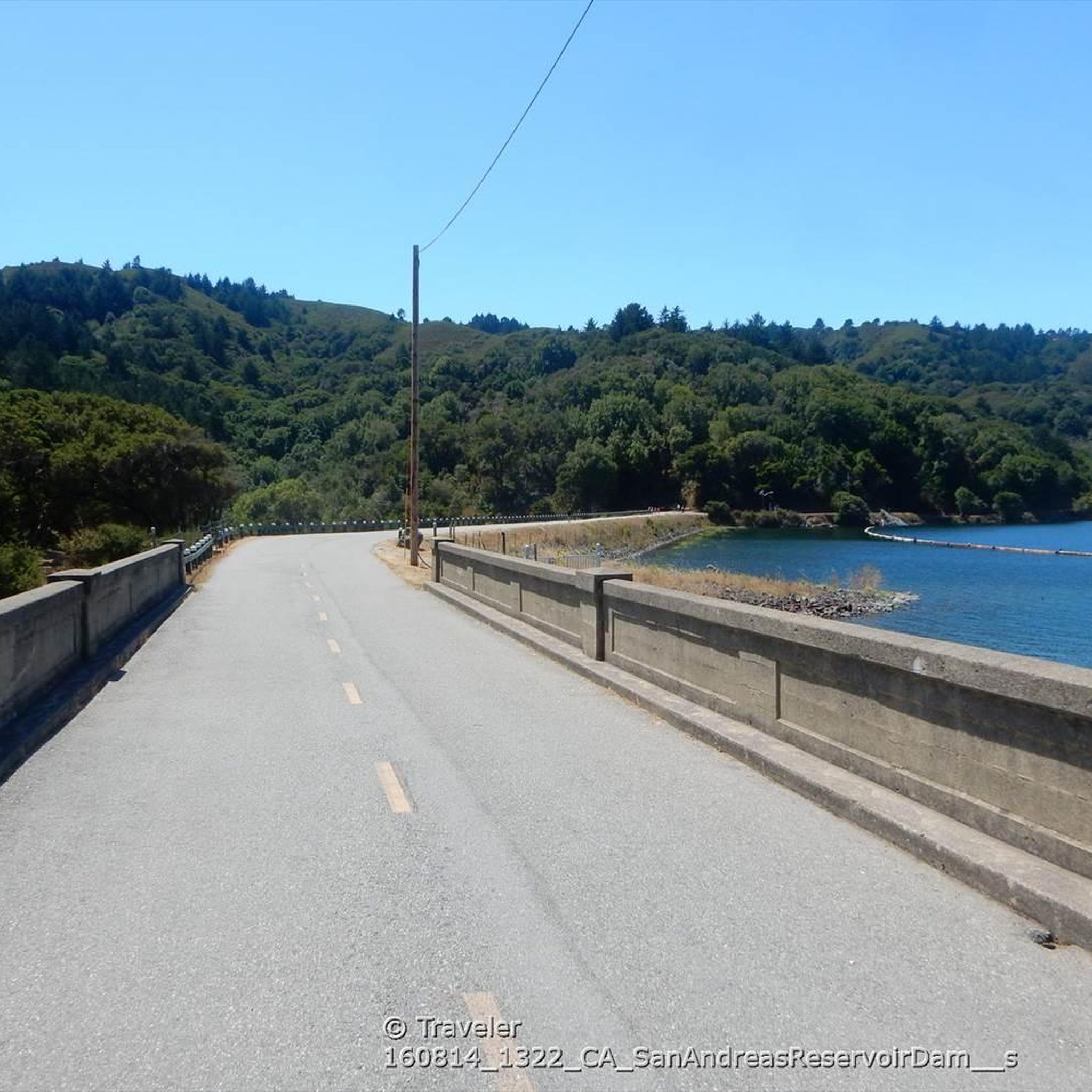
scenic bike ride along the san andreas reservoir
0
0
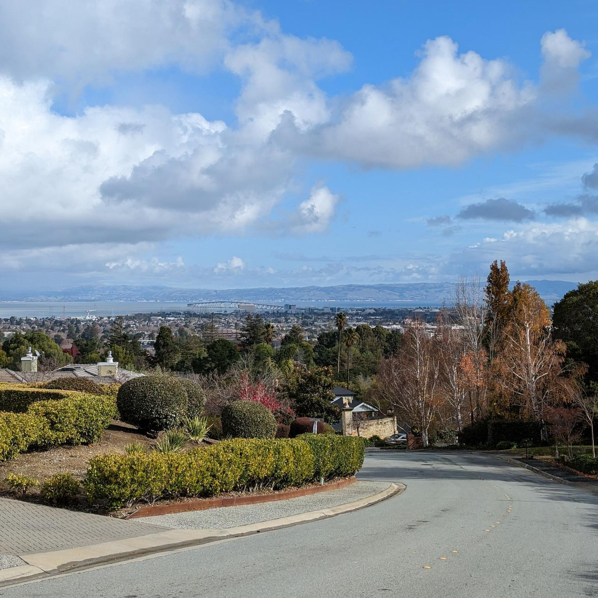
This is a designated place for planespotting. In fact, at low tide the mudflats may be exposed all the way across to the San Francisco/SFO airport runways. Don't even think of walking across them, though; the mudflats can trap you like quicksand, even if your first few steps onto the flats don't feel like that.
0
0
Frequently Asked Questions
How many running routes are available in Hillsborough?
Hillsborough offers a wide variety of running options, with over 100 routes available on komoot. These range from easy strolls to more challenging runs, ensuring there's something for every fitness level.
Are there easy running routes for beginners in Hillsborough?
Yes, Hillsborough has several easy running routes perfect for beginners. Approximately 15 of the routes are classified as easy. While specific beginner routes aren't highlighted here, you can find many gentle paths, especially along the Riverwalk Greenway, which offers a flat and accessible experience.
What are some scenic running routes in Hillsborough?
Many routes in Hillsborough are highly scenic. The Sawyer Camp Recreation Trail – Jepson Laurel loop from Highlands-Baywood Park is a popular choice, offering picturesque views along a dedicated recreation trail. You can also find beautiful riverside forests along the Eno River and diverse terrain at Occoneechee Mountain State Natural Area.
Are there any circular running routes in the area?
Yes, many running routes in Hillsborough are designed as loops. For instance, the Sawyer Camp Recreation Trail loop from Highlands-Baywood Park is a well-maintained circular trail. The Coyote Point Recreation Area – Seal Slough (Marina Lagoon) loop from Burlingame also offers a longer circular option.
Can I bring my dog on the running trails in Hillsborough?
While specific regulations vary by trail, many natural areas and greenways in Hillsborough are dog-friendly, typically requiring dogs to be on a leash. The Riverwalk Greenway and trails within Duke Forest are generally welcoming to leashed dogs. Always check local signage for specific rules before heading out.
Are there family-friendly jogging options in Hillsborough?
Absolutely. The Riverwalk Greenway is an excellent family-friendly option, being a 2-mile shared-use trail that is mostly flat and accessible. It connects to Gold Park, making it convenient for families with children.
What kind of natural landscapes can I expect to see while running in Hillsborough?
Hillsborough's running routes offer diverse natural landscapes. You'll find picturesque riverside forests along the Eno River, varied terrain including bluffs at Occoneechee Mountain State Natural Area, and expansive grounds at historic sites like Ayr Mount. These areas feature everything from serene water views to thickets of mountain laurel and rhododendron.
Are there any historical sites or landmarks along the running paths?
Yes, Hillsborough offers unique historical landmarks along its running paths. The Historic Occoneechee Speedway Trail is a notable example, allowing you to run around the only surviving dirt speedway from NASCAR's inaugural 1949 season. Ayr Mount also provides a historically rich environment with its grounds and trails.
What do other runners say about the trails in Hillsborough?
The running routes in Hillsborough are highly regarded by the komoot community, boasting an average score of 4.6 stars from over 15 reviews. Runners often praise the diverse terrain, scenic beauty, and well-maintained paths, making it a popular destination for outdoor enthusiasts.
Are there routes with good shade for warmer days?
Many trails in Hillsborough, particularly those along the Eno River and within areas like Duke Forest, offer significant tree cover and shade. These forested paths provide a cooler running experience, especially during warmer months. The Sawyer Camp Recreation Trail – Jepson Laurel loop also features shaded sections.
How long are the running trails typically in Hillsborough?
The running trails in Hillsborough vary in length to suit different preferences. You can find shorter routes like the 4.1-mile Sawyer Camp Recreation Trail loop, or longer options such as the 7.1-mile Sawyer Camp Recreation Trail – Jepson Laurel loop. The Riverwalk Greenway is also a convenient 2-mile option.
Is parking available near the running routes?
Yes, many popular running routes and trailheads in Hillsborough offer designated parking areas. For example, the Riverwalk Greenway connects to Gold Park, which provides convenient parking. Areas like Occoneechee Mountain State Natural Area and Ayr Mount also have visitor parking facilities.
Are there any routes near water features like lakes or rivers?
Hillsborough is well-known for its proximity to water features. The Eno River is a central natural feature, with many trails running alongside it, offering serene water views. Additionally, nearby attractions include Lower Crystal Springs Reservoir and San Andreas Lake, providing scenic backdrops for your run.
Most popular attractions around Hillsborough

Get inspired with the komoot mobile app


Explore more
Browse the best Running Trails & Routes in other regions.
