The best road cycling routes in Knutshø Landskapsvernområde
5.0
(2)
68
riders
4
rides
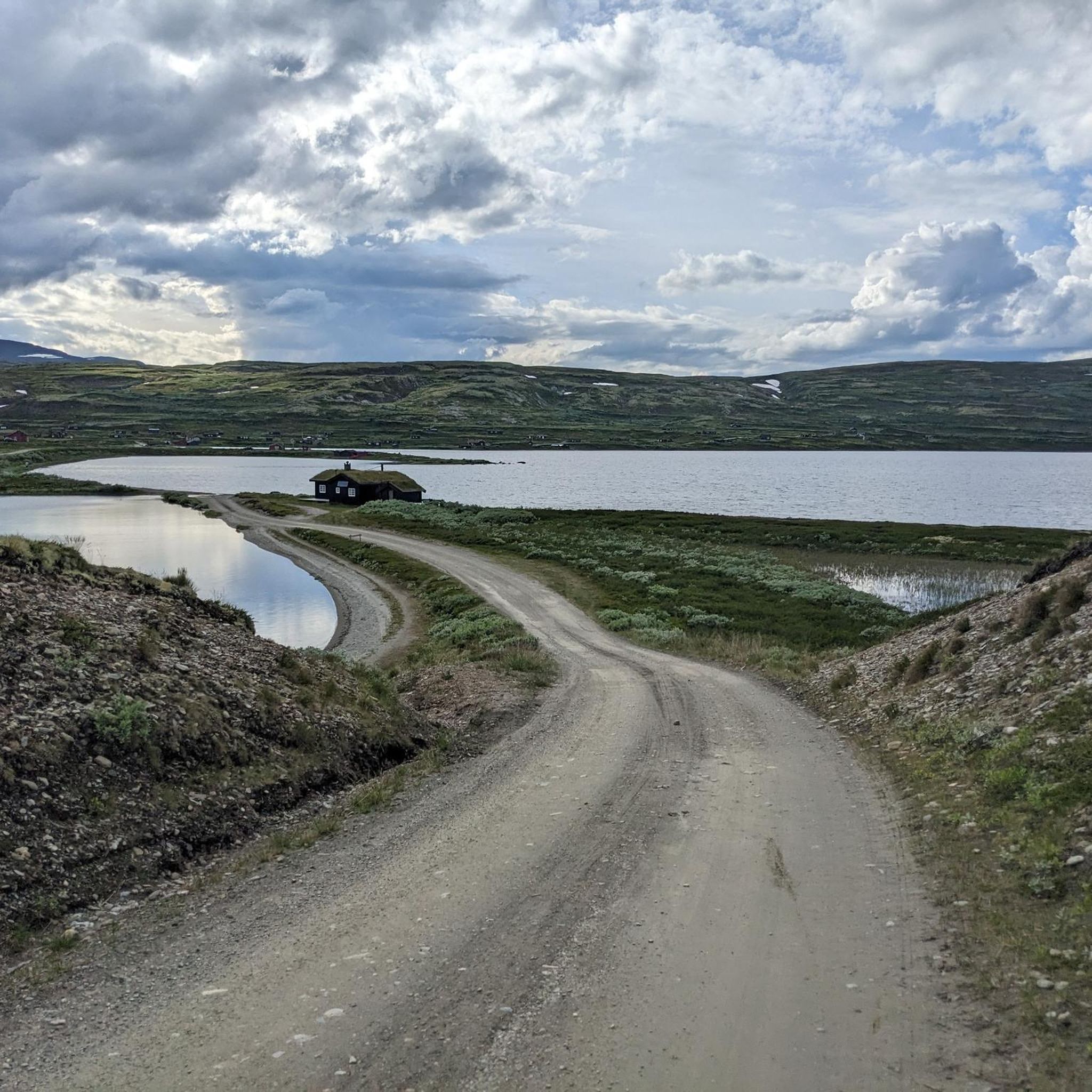
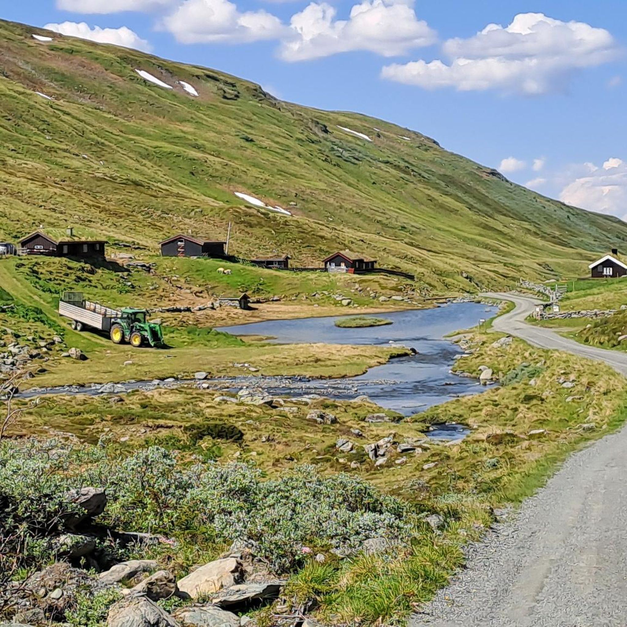
Road cycling in Knutshø Landskapsvernområde offers routes through a large-scale landscape characterized by gentle forms and expansive views. The area features existing car roads, a legacy of historical land use, which provide a network suitable for varied road cycling routes without consistently extreme inclines. Cyclists can explore natural beauty within this conservation area, which is part of the larger Dovrefjell / Sunndalsfjella national park. The terrain provides diverse opportunities for outdoor recreation.
Best road cycling routes in Knutshø Landskapsvernområde
- The…
Last updated: October 7, 2026
5.0
(2)
23
riders
93.7km
04:11
750m
750m
Moderate road ride. Good fitness required. Some segments of this route may be unpaved and difficult to ride.
18
riders
94.3km
04:55
1,360m
1,360m
Hard road ride. Very good fitness required. Some segments of this route may be unpaved and difficult to ride.

15
riders
79.8km
03:30
650m
650m
Moderate road ride. Good fitness required. Some segments of this route may be unpaved and difficult to ride.
6
riders
28.6km
02:10
360m
360m
Moderate road ride. Good fitness required. Some segments of this route may be unpaved and difficult to ride.
6
riders
33.1km
02:33
440m
440m
Moderate road ride. Good fitness required. Some segments of this route may be unpaved and difficult to ride.
Our route recommendations are based on thousands of hikes, rides, and runs completed by other people on komoot.
Start today with a free account
Your next adventure awaits.

Tips from the Community

Bridge is closed!!!
0
0

Partially single track of which half should be ridable with a gravel bike.
0
0

The dam dates back to the early 80's and was built despite huge protests from the locals. The water is feeds through a 10 km long tunnel to a power station further downstream. The route across the dam forms part of some loops to be taken from the Oppdal area.
0
0

A really great hotel with campsites. We had a wonderful stay here with a beautiful view of the lake.
1
0

Bårdsgarden is a traditional Norwegian mountain farm that's been welcoming travellers since the late 19th century. This self-service DNT cabin has many amenities for weary hikers. The cabin was made famous by Berit Brænne’s children's book trilogy: Tørris gutten fra Storlidalen ('The Boy of the Mountains' in the UK). The tales were inspired by life at Bårdsgarden.
1
0
Part of Oppdal's skiing region, Støltroa is also a great place to start a hike in the warmer months. You can hike up to the mountain summits above from here.
0
0
Nestavollan provides a parking area for hikes onto the Øvra Vårstigen. In the winter months, the Drivdalen is home to a number of ice climbing routes.
0
0

A very nice hotel that can be used as a base for tours in Rondane and Dovre National Parks. The hotel is located about 2-3 kilometers (1-2 mi) from a train station. A free shuttle service is available upon request.
2
0
Frequently Asked Questions
What is the typical terrain like for road cycling in Knutshø Landskapsvernområde?
The region is characterized by a "grand scale with gentle forms," offering expansive views without consistently extreme inclines. While it is a high-mountain area, the existing network of roads, historically developed for summer farming, provides accessible routes. You can expect varied terrain, from valleys and open landscapes to areas with notable elevation changes, but generally not overly strenuous climbs across all routes.
Are there challenging climbs for experienced road cyclists in the area?
Yes, for experienced road cyclists seeking a challenge, there are routes with substantial elevation gain. For example, the Oppdal – Støltroa loop from Oppdal is classified as difficult, featuring significant climbs over its 95.4 km distance.
Are there easier or moderate routes suitable for less experienced cyclists?
Absolutely. The area offers several moderate routes. The Oppdal – View of the Driva River loop from Oppdal is a moderate 93.7 km route with manageable elevation. Another good option is the Håmårn – Hjerkinn Fjellstue loop from Børsungsætervegen, which is a shorter, moderate 28.6 km ride.
What scenic viewpoints or landmarks can I expect to see while cycling?
Knutshø Landskapsvernområde offers panoramic scenery and rich botany. You can expect expansive views across the high-mountain landscape. A toll road leads past Storinnsjøen to Dølvad, offering fine touring opportunities and rich botany. The flanks of mountains, such as Stolhøa, are also known for hardy wildflowers, adding to the scenic beauty.
When is the best time of year for road cycling in Knutshø Landskapsvernområde?
Given its high-mountain characteristics, the best time for road cycling is typically during the warmer months, from late spring through early autumn. This period offers the most favorable weather conditions and ensures roads are clear of snow and ice, allowing full access to the scenic routes.
Is parking available near the road cycling routes?
Many routes, such as those starting from Oppdal, are accessible by car, suggesting that parking facilities are available in or near the starting points of these routes. For specific parking information, it's advisable to check the details for individual routes on komoot or local tourist information.
How can I access the road cycling routes using public transport?
Many road cycling routes in the area, including several listed, start from Oppdal. Oppdal is a regional hub that is generally well-connected by public transport, such as trains or buses, making it a convenient starting point for accessing the routes within Knutshø Landskapsvernområde.
Are there family-friendly road cycling routes in Knutshø Landskapsvernområde?
While the guide primarily features moderate to difficult routes, the region's "gentle forms" and existing road network can offer sections suitable for families. For a shorter, moderate option, consider the Hjerkinn Station – Hjerkinn Fjellstue loop from Hjerkinn, which is 33.1 km long and guides cyclists through varied terrain.
Are dogs allowed on the road cycling routes?
Knutshø Landskapsvernområde is part of the Dovrefjell-Sunndalsfjella National Park and is a high-mountain area known for wild reindeer habitats. While dogs are generally allowed in Norwegian outdoors, specific rules may apply in protected areas, especially regarding leashing requirements to protect wildlife. It's recommended to check local regulations for the conservation area before bringing your dog.
What do other road cyclists enjoy most about cycling in Knutshø Landskapsvernområde?
The area is highly rated by the komoot community, with an average score of 5.0 stars. Cyclists often praise the large-scale landscape with its expansive views and the unique experience of cycling on roads that traverse a preserved high-mountain environment. The variety of routes, from moderate to challenging, also contributes to its appeal.
Are there places to eat or stay near the cycling routes?
The region has historical ties to "sætering" (summer farming), and places like Kongsvold Fjeldstue (mentioned in one of the popular routes) suggest that accommodation and dining options are available, particularly in and around larger settlements like Oppdal or along historical routes. It's advisable to plan stops in advance, especially in more remote sections.
Most popular routes in Knutshø Landskapsvernområde

Get inspired with the komoot mobile app


Explore more
Browse the best Road cycling routes in other regions.
