The best mountain hikes in Knutshø Landskapsvernområde
7
hikers
3
hikes
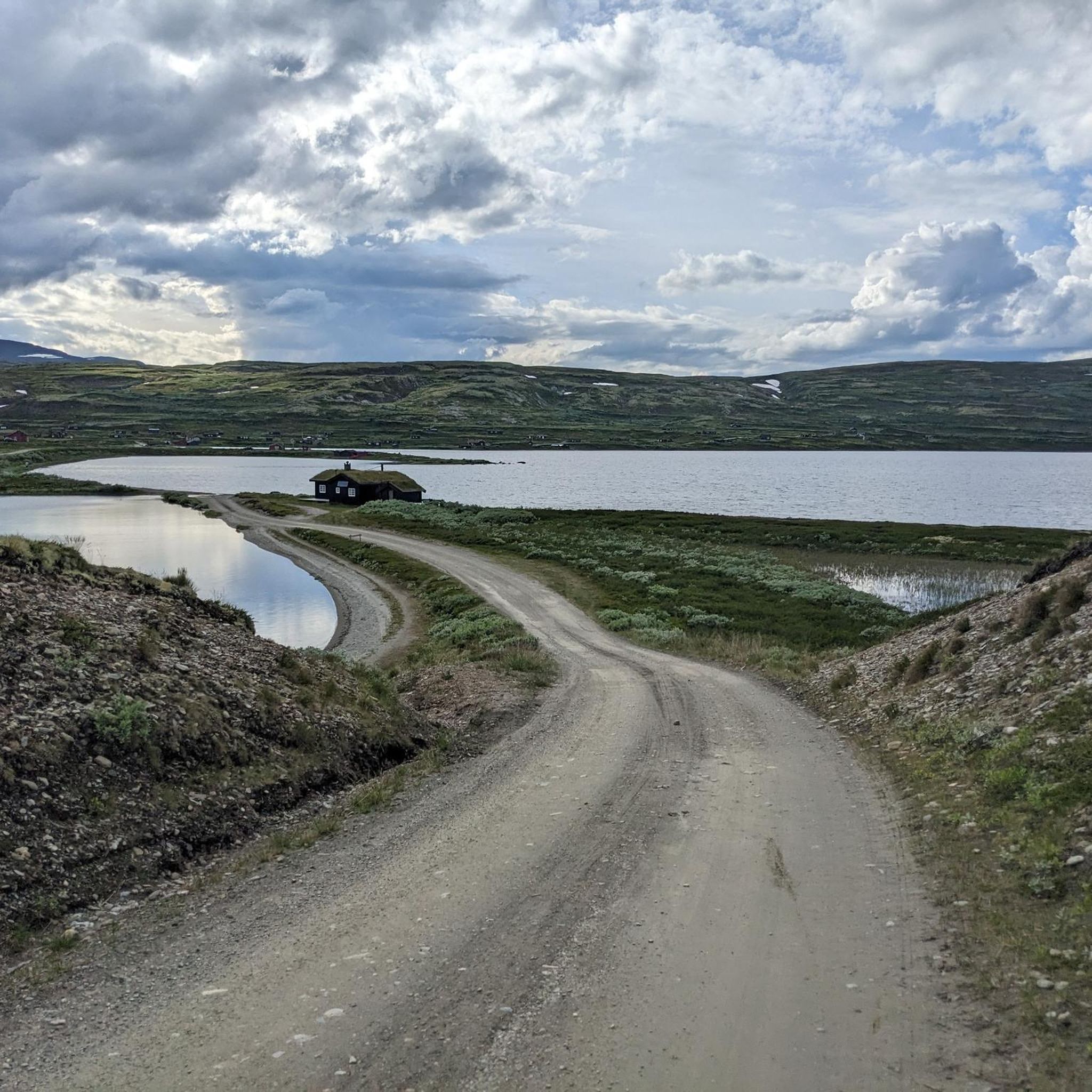
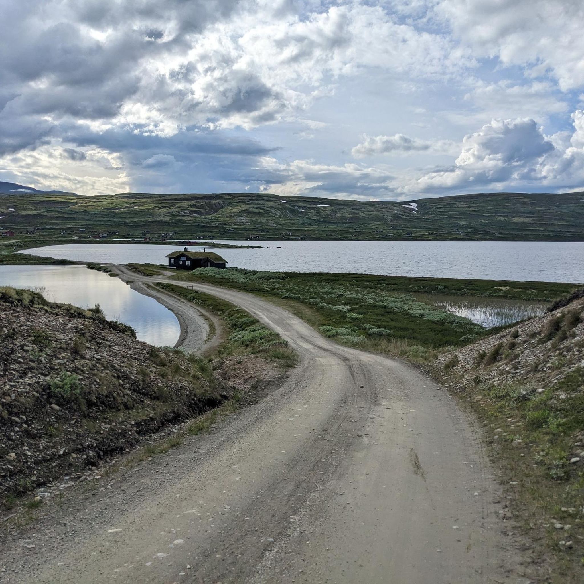
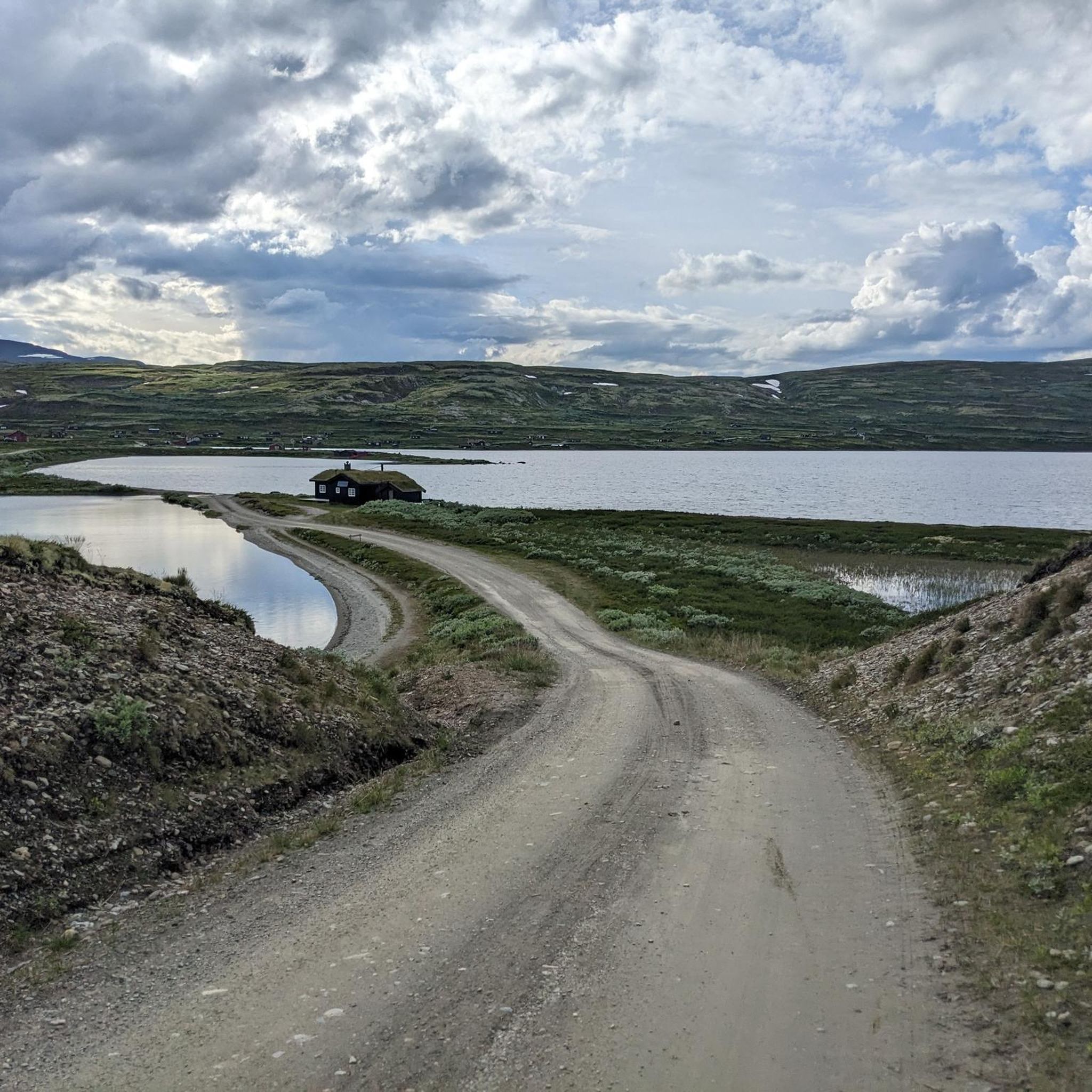
Mountaineering routes in Knutshø Landskapsvernområde traverse a high-mountain environment characterized by large-scale, gently sloping forms. This protected area, part of the Dovrefjell-Sunndalsfjella National Park system, safeguards crucial wild reindeer habitats and a rich botanical diversity. The terrain offers challenging ascents and exploration opportunities for experienced outdoor enthusiasts. It features a distinctive natural and cultural landscape with unique landforms.
Best mountaineering routes in Knutshø Landskapsvernområde
- The most popular mountaineering route is Storhøa loop from Søstosætra, a 7.8 miles (12.6 km)…
Last updated: October 2, 2026
3
hikers
12.7km
04:23
630m
630m
Moderate mountaineering route. Good fitness required. Easily-accessible paths. Suitable for all skill levels.
3
hikers
13.2km
04:03
360m
360m
Moderate mountaineering route. Good fitness required. Mostly accessible paths. Sure-footedness required.

1
hikers
Moderate mountaineering route. Good fitness required. Mostly accessible paths. Sure-footedness required.
Our route recommendations are based on thousands of hikes, rides, and runs completed by other people on komoot.
Start today with a free account
Your next adventure awaits.

Tips from the Community

Bridge is closed!!!
0
0

Delicious 3-course menu, with reindeer as main course. Breakfast was extensive and very tasty. On the pricey side, but you get value for your money.
3
0

Very nice and friendly accommodation. Not exactly cheap, but the warm cinnamon rolls after a long hike are heavenly!
2
0

The oxen live in an area of 15 x 30 km. You have to be lucky to find them.
2
0

Our circular route begins here
0
0
The ascent is rocky, but easy to manage with good footwear. The descent of the loop is more difficult, in parts it can only be walked over stones, so sure-footedness is extremely important.
1
1


Nice accommodation offering both basic pilgrim accommodation and more expensive rooms. If you wish, you can enjoy a delicious dinner in the evening. The breakfast buffet is also recommended. The hotel is located directly on the pilgrimage route (Olavsleden) as well as on the road and is therefore easy to reach.
2
1
Frequently Asked Questions
What kind of terrain can I expect on mountaineering routes in Knutshø Landskapsvernområde?
Knutshø Landskapsvernområde features a high-mountain environment with large-scale, gently sloping forms. While generally expansive, the terrain can be challenging, with some routes requiring sure-footedness, sturdy shoes, and even alpine experience, corresponding to SAC ratings of 4–6. You'll encounter a rich botanical diversity and unique landforms throughout the area.
Are there any routes suitable for beginners in mountaineering?
While many routes in Knutshø Landskapsvernområde offer significant challenges, the area does provide a spectrum of options. The guide indicates routes ranging from easy to very difficult. For those new to mountaineering, it's advisable to start with routes described as moderate, such as the Storhøa loop from Søstosætra, which offers a comprehensive experience of the high-mountain landscape without extreme technical demands.
What is the best time of year for mountaineering in Knutshø Landskapsvernområde?
The best time for mountaineering in Knutshø Landskapsvernområde is typically during the warmer months when snow has receded from higher elevations. Given the high-mountain environment, conditions can change rapidly, so checking local weather forecasts and trail conditions before setting out is always recommended. Winter conditions will present significant challenges and require specialized gear and experience.
Are there any circular mountaineering routes in the area?
Yes, there are circular routes available. For example, the Kongsvoll Station – Kongsvold Fjeldstue loop from Kongsvoll is a moderate 8.2-mile (13.2 km) path that provides expansive views and returns you to your starting point.
What kind of natural features or landmarks can I expect to see?
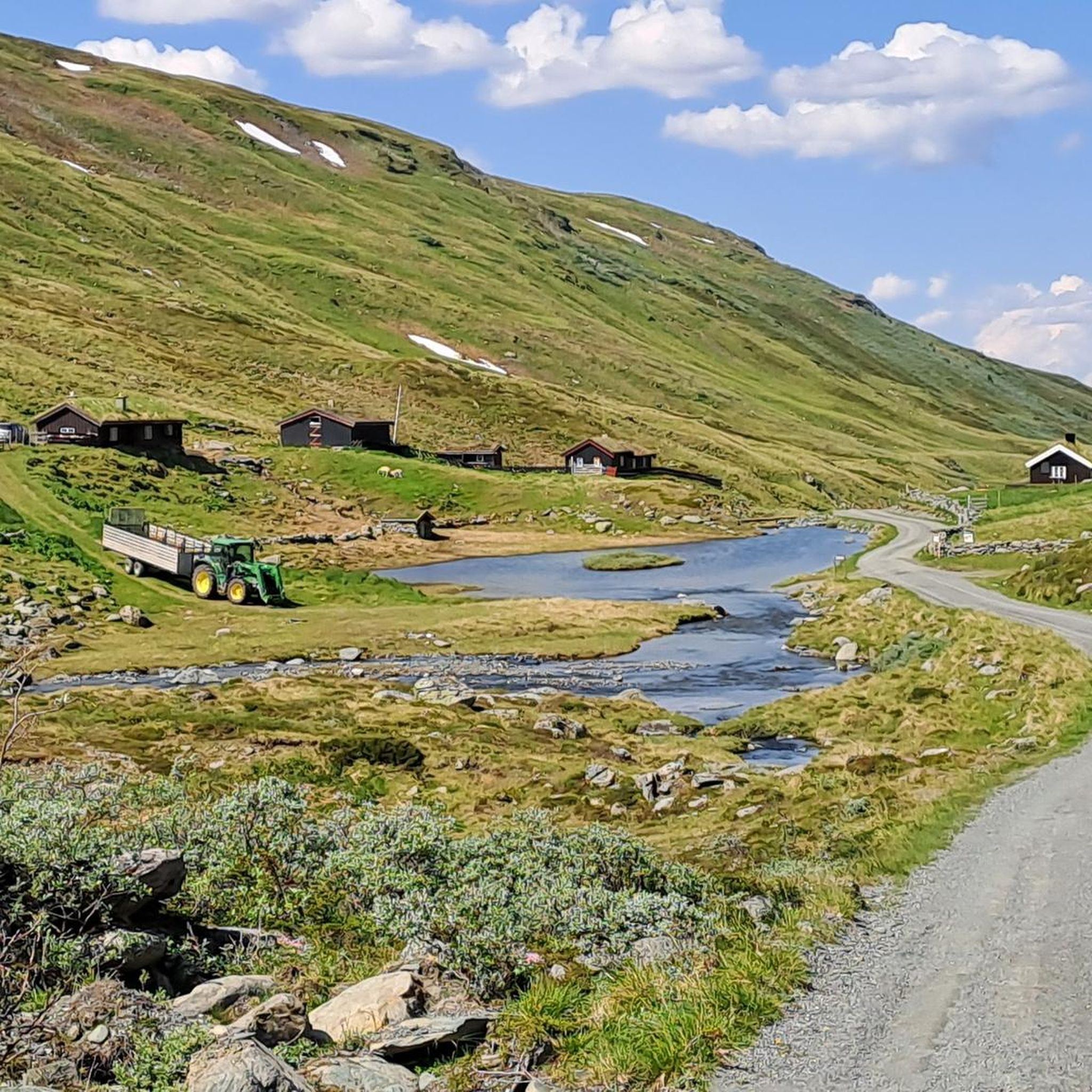
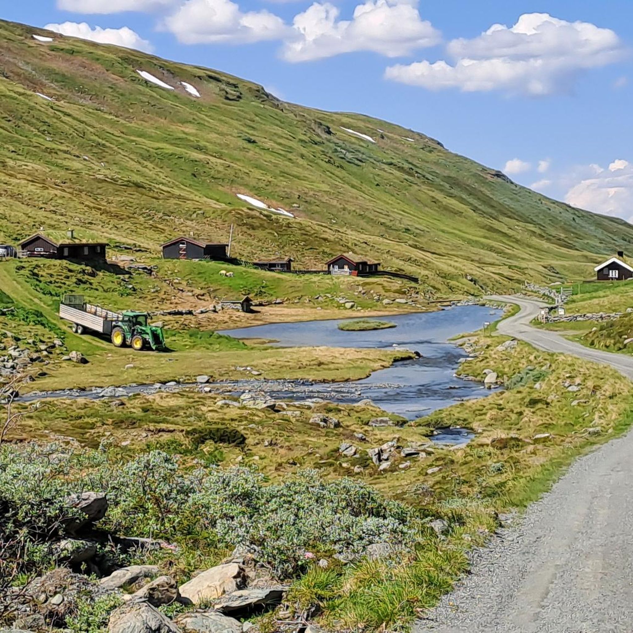
Knutshø Landskapsvernområde is characterized by its distinctive natural and cultural landscape. You'll experience a continuous high-mountain environment, vital wild reindeer habitats, and rich botanical diversity. The area also features cultural remnants like old summer farms (seter), which add a historical dimension to the natural grandeur.
Is Knutshø Landskapsvernområde suitable for family-friendly hiking, or is it mostly for experienced mountaineers?
While some routes require alpine experience and are quite challenging, Knutshø Landskapsvernområde offers a range of trails from easy to very difficult. For families, it's important to choose routes carefully, focusing on those described as easy or moderate, and ensuring everyone has appropriate footwear and fitness levels for the high-mountain environment. The region's natural beauty can be enjoyed by various skill levels.
What should I wear for mountaineering in Knutshø Landskapsvernområde?
Given the high-mountain environment and potential for challenging terrain, it's crucial to wear sturdy hiking boots with good ankle support. Layered clothing is recommended to adapt to changing weather conditions, including waterproof and windproof outer layers. Always carry essentials like a map, compass or GPS, sufficient water, food, and a first-aid kit.
How long do mountaineering routes typically take in Knutshø Landskapsvernområde?
The duration of routes varies significantly based on distance, elevation gain, and difficulty. For instance, a moderate route like the Storhøa loop from Søstosætra, which is 7.8 miles (12.6 km) long, typically takes around 4 hours and 21 minutes to complete. Always check the estimated duration for your chosen route and factor in extra time for breaks and enjoying the scenery.
Are there any options for accommodation or places to eat near the mountaineering trails?
While the region is known for having 'little facilitation for outdoor life' in terms of developed infrastructure, historical summer farms (seter) are still present and important for sheep grazing. For specific accommodation or dining options, you would typically look to nearby towns or established mountain lodges outside the immediate wilderness areas. The Kongsvoll Station – Kongsvold Fjeldstue loop, for example, starts near Kongsvoll, which may offer some facilities.
How many mountaineering routes are available in Knutshø Landskapsvernområde?
Komoot currently lists 4 mountaineering routes in Knutshø Landskapsvernområde. However, the broader region offers over 80 recorded hikes, ranging from easy to very difficult, providing a wide spectrum of options for outdoor enthusiasts.
What makes mountaineering in Knutshø Landskapsvernområde unique?
Mountaineering here offers a unique blend of challenging high-mountain terrain, rich botanical diversity, and cultural heritage. The area is part of the Dovrefjell-Sunndalsfjella National Park system, safeguarding crucial wild reindeer habitats. The large-scale, gently sloping forms of the landscape, combined with remnants of old summer farms, create a distinctive and memorable experience.
Most popular routes in Knutshø Landskapsvernområde

Get inspired with the komoot mobile app


