The best walks and hikes around Rakringen
4.7
(73)
477
hikers
16
hikes
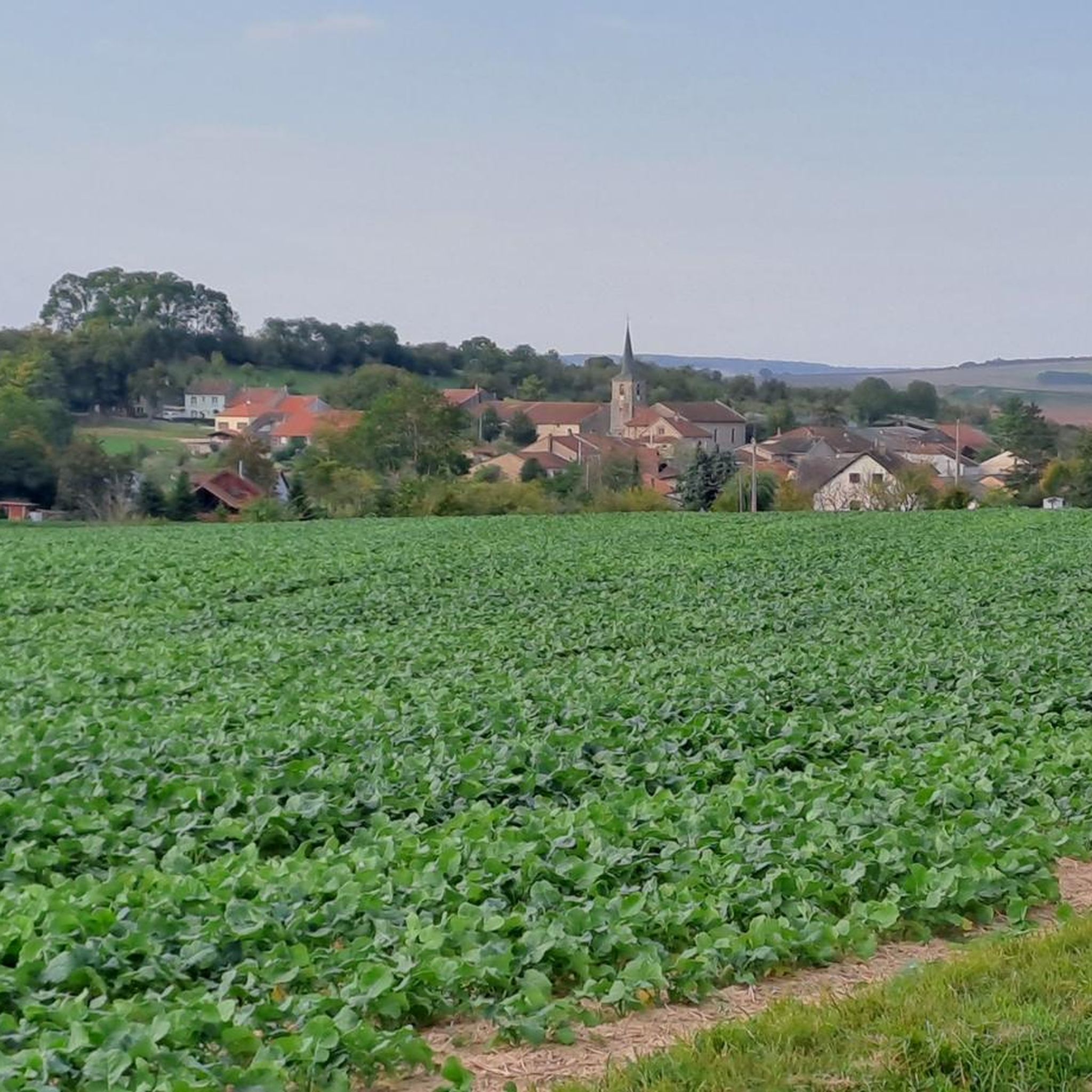
Hiking around Rakringen offers a network of trails through a landscape characterized by gentle elevations and open countryside. The region features areas around ponds and small villages, providing varied scenery for outdoor exploration. While not mountainous, the terrain includes subtle rises that offer local viewpoints. The trails are generally accessible, catering to different levels of hiking experience.
Best hiking trails around Rakringen
- The most popular hiking route is Mutche Pond loop from Harprich, a 4.1 miles (6.5 km) easy…
Last updated: November 4, 2026
4.3
(27)
180
hikers
6.53km
01:40
20m
20m
Easy hike. Easily walkable paths.
4.3
(25)
168
hikers
6.64km
01:42
20m
20m
Easy hike. Easily walkable paths.

4.6
(8)
53
hikers
8.73km
02:14
40m
40m
Moderate hike. Good fitness required. Easily walkable paths.
8
hikers
5.71km
01:28
30m
30m
Easy hike. Easily walkable paths.
5.0
(1)
3
hikers
10.5km
02:46
100m
100m
Moderate hike. Good fitness required. Easily walkable paths.
Get access to more routes and recommendations from other explorers.
Already have an account?
Our route recommendations are based on thousands of hikes, rides, and runs completed by other people on komoot.
Start today with a free account
Your next adventure awaits.


Frequently Asked Questions
What kind of terrain can I expect on hikes around Rakringen?
Hiking around Rakringen features a landscape of gentle elevations and open countryside. You'll find trails winding around ponds and through small villages, offering varied scenery. While not mountainous, the terrain includes subtle rises that provide local viewpoints.
How many hiking trails are available in Rakringen?
There are over 10 hiking routes available in Rakringen, catering to various preferences. The komoot community has explored these trails more than 300 times, indicating a well-used network.
Are there any easy hikes suitable for beginners in Rakringen?
Yes, Rakringen offers several easy trails. For instance, the Mutche Pond loop from Harprich is an easy 4.1-mile (6.5 km) route that circles a local pond, perfect for a relaxed walk.
What are the typical durations for hikes in Rakringen?
Hikes in Rakringen vary in length and duration. Easy trails, like the Mutche Pond loop from Harprich, can take around 1 hour 40 minutes. Moderate routes, such as the Hiking loop from Harprich, typically take about 2 hours 15 minutes to complete.
Are there any circular hiking routes in Rakringen?
Yes, many of the trails in Rakringen are circular, allowing you to start and end at the same point. Popular options include the Mutche Pond loop from Morhange and the Orientation Table Viewpoint loop from Montdidier.
What do other hikers enjoy most about the trails in Rakringen?
The trails in Rakringen are highly rated by the komoot community, with an average score of 4.2 stars from over 40 reviews. Hikers often praise the varied scenery, including pond-side paths, open fields, and the gentle hills that provide local viewpoints.
Are there any viewpoints or natural features to look out for?
While Rakringen is not known for dramatic mountain vistas, the gentle elevations offer local viewpoints. The trails often pass by ponds and through open countryside, providing pleasant natural scenery. The Orientation Table Viewpoint loop from Montdidier specifically highlights a viewpoint.
Are the hiking trails in Rakringen suitable for families?
Yes, with a good selection of easy and moderate trails, Rakringen is suitable for families. The gentle terrain and shorter loop options, like the Mutche Pond loop from Harprich, make it enjoyable for all ages.
What is the best time of year to go hiking in Rakringen?
Given the gentle terrain and open countryside, hiking in Rakringen is generally pleasant during spring, summer, and autumn. These seasons offer comfortable temperatures and vibrant natural scenery. Winter hikes are also possible, though conditions may vary.
Are there any hikes that pass through villages or offer a glimpse of local life?
Yes, some routes in Rakringen lead through or near small villages, offering a chance to experience local life. The Stork village Harprich loop from Viller is an example of a route that explores the area around a village.
What is the overall difficulty level of hiking in Rakringen?
The hiking trails in Rakringen are predominantly easy to moderate. There are 4 easy routes and 8 moderate routes, with no difficult trails, making the area accessible for a wide range of hikers.

Get inspired with the komoot mobile app


Explore more
Browse the best Hikes in other regions.
