The best cycling routes around Rakringen
4.5
(17)
137
riders
35
rides
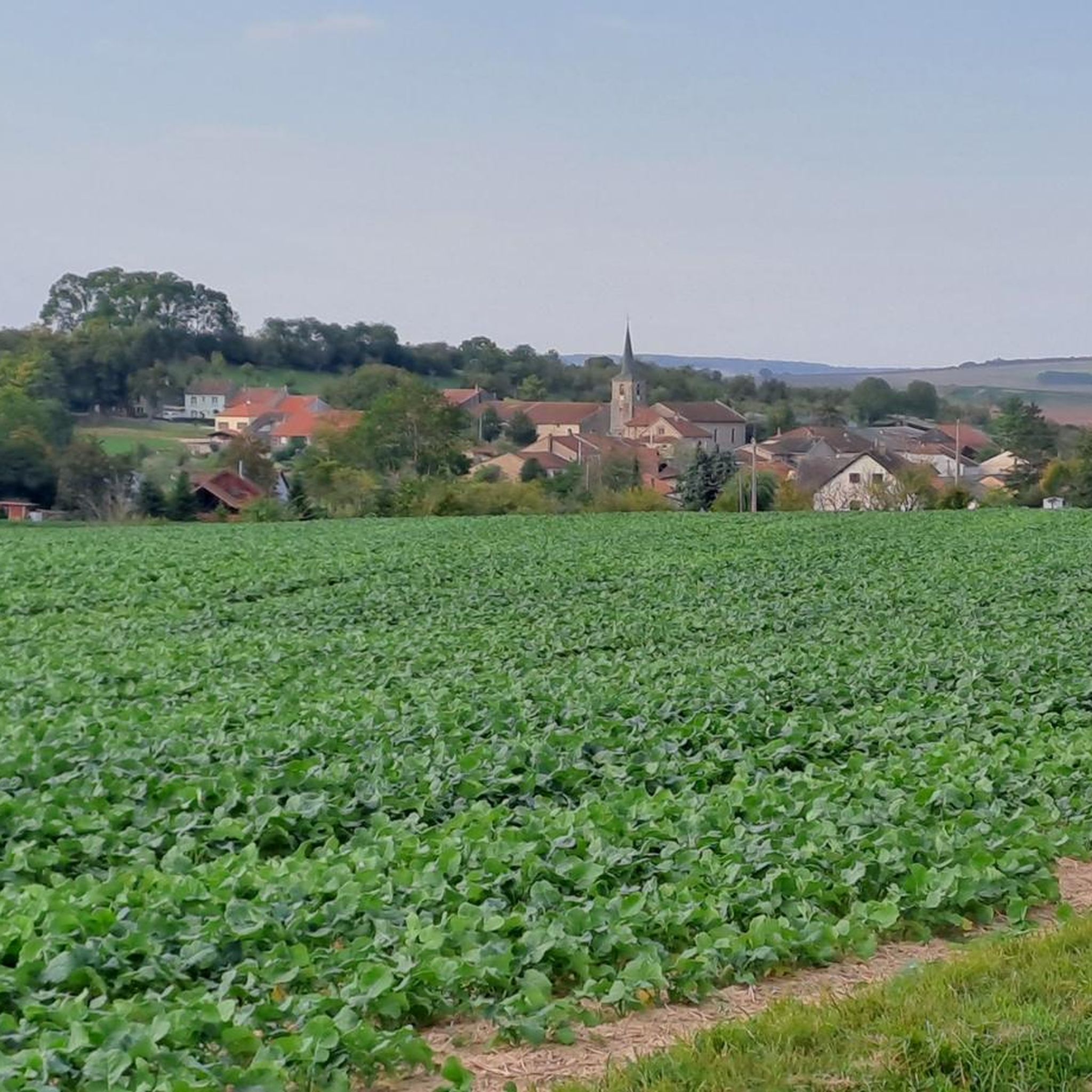
Touring cycling around Rakringen features a landscape characterized by waterways, including large ponds and canals, suggesting relatively flat terrain suitable for cycling. The region also includes rural areas, indicated by references to storks, and some historical elements like old bunkers. Elevation changes are generally moderate across many routes, with some longer, more challenging options available.
Best touring cycling routes around Rakringen
- The most popular touring cycling route is Harprich's storks – Stork valley 😉👍 loop from Morhange, a 19.0…
Last updated: November 5, 2026
4.0
(2)
19
riders
31.5km
01:54
230m
230m
Moderate bike ride. Good fitness required. Mostly paved surfaces.
3.0
(1)
15
riders
66.7km
04:09
470m
470m
Hard bike ride. Very good fitness required. Mostly paved surfaces.

4.8
(5)
13
riders
Hard bike ride. Very good fitness required. You may need to push your bike for some segments of this route.
9
riders
8.56km
00:44
40m
40m
Easy bike ride. Mostly paved surfaces.
5.0
(2)
9
riders
Hard bike ride. Very good fitness required. Mostly paved surfaces.
Get access to more routes and recommendations from other explorers.
Already have an account?
Our route recommendations are based on thousands of hikes, rides, and runs completed by other people on komoot.
Start today with a free account
Your next adventure awaits.


Tips from the Community


A resting place at a small harbor. You can find ones like this again and again along the canals. This one is very well equipped and has a nice little café
0
0

Water great although it is too warm. No blue algae yet.
0
0

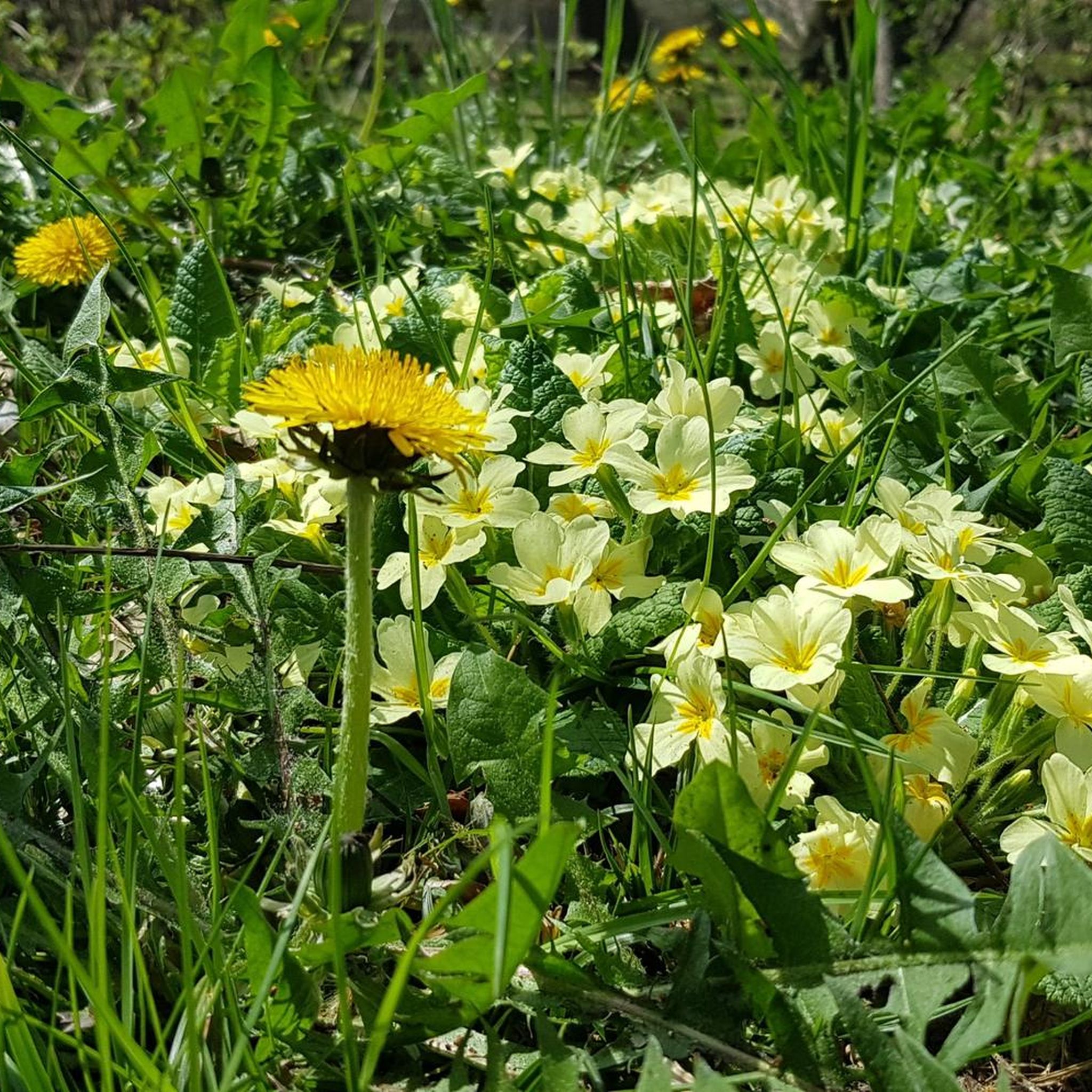
The garden design shown here, which is less based on the flowers planted there but presents wonderfully imaginative objects, will probably inspire almost everyone who passes by to take a short break on their bike ride. It's worth a look: there's much to discover.
0
0

Cozy, friendly, good 👌
0
0
Friendly service is provided here, and snacks and drinks are available.
0
0
Very nicely renovated 👍
0
0

Frequently Asked Questions
How many touring cycling routes are available in Rakringen?
Rakringen offers a diverse network of over 25 touring cycling routes. This includes 6 easy routes, 13 moderate routes, and 6 more challenging options, catering to various skill levels.
What kind of terrain can I expect on touring cycling routes in Rakringen?
The touring cycling routes in Rakringen are primarily characterized by relatively flat terrain, often following waterways such as large ponds and canals. You'll also cycle through rural areas, sometimes spotting storks, and encounter historical elements like old bunkers. Elevation changes are generally moderate across many routes.
Are there any easy touring cycling routes suitable for beginners in Rakringen?
Yes, Rakringen has several easy routes perfect for beginners or those seeking a relaxed ride. For instance, the Bike loop from Harprich is a short 2.9-mile (4.7 km) path with minimal elevation gain, offering a quick ride through local scenery.
Are there any circular touring cycling routes in Rakringen?
Many of the touring cycling routes in Rakringen are designed as loops. A popular moderate option is Harprich's storks – Stork valley 😉👍 loop from Morhange, which is 19.0 miles (30.5 km) long and explores rural areas with gentle elevation changes.
What are some longer, more challenging touring cycling routes in Rakringen?
For experienced touring cyclists looking for a challenge, Rakringen offers longer routes with more significant distances and elevation. Consider the Grand Pond of Mittersheim – The Great Lock of Réchicourt loop from Bénestroff, a substantial 90.2-mile (145.2 km) trail that takes about 8 hours 35 minutes to complete, leading through areas around large ponds and locks.
What do other touring cyclists enjoy most about cycling in Rakringen?
The touring cycling routes in Rakringen are highly rated by the komoot community, with an average score of 5.0 stars from over 11 reviews. Cyclists often praise the varied terrain, from tranquil canal paths to rural landscapes, and the options available for different ability levels.
Are there any touring cycling routes that pass by historical sites or points of interest?
Yes, some routes incorporate historical elements. For example, the Ancien Bunker – Harprich's storks loop from Morhange is a moderate 20.5-mile (33.1 km) route that allows you to explore areas featuring old bunkers while enjoying the rural landscape.
Are there touring cycling routes that focus on the region's waterways?
Absolutely. Rakringen's landscape is defined by its waterways. The Saar Coal Canal at Dieding – Grand Pond of Mittersheim loop from Bénestroff is a challenging 85.5-mile (137.6 km) route that highlights the region's canals and large ponds, offering extensive views of these aquatic features.
What is the typical elevation gain on touring cycling routes in Rakringen?
Elevation gain varies significantly depending on the route. Many routes feature moderate elevation changes, such as the Harprich's storks – Stork valley 😉👍 loop from Morhange with around 221 meters of ascent. Longer, more challenging routes like the Saar Coal Canal at Dieding – Grand Pond of Mittersheim loop from Bénestroff can have over 700 meters of elevation gain.
Are there any touring cycling routes that are particularly scenic or offer good viewpoints?
While specific viewpoints are not detailed, many routes in Rakringen offer scenic views as they traverse rural areas, often with opportunities to spot storks, and follow the picturesque large ponds and canals. The routes around the Grand Pond of Mittersheim are particularly noted for their expansive water views.
Can I find touring cycling routes that are suitable for families with children?
Yes, for families or those looking for a very gentle ride, the easy routes are ideal. The Bike loop from Harprich is a short, flat option that provides a pleasant experience for all ages.

Get inspired with the komoot mobile app


Explore more
Browse the best Cycling routes in other regions.
