Easy hikes and walks around Saint-Omer
4.5
(2072)
11,855
hikers
736
hikes
Easy hiking trails around Saint-Omer navigate a landscape characterized by expansive wetlands, diverse nature reserves, and picturesque rural areas. The region features the unique Audomarois Marshes, a vast network of waterways and market gardens, alongside significant forested areas like the Rihoult-Clairmarais Forest. This terrain offers gentle elevation changes, making it suitable for accessible outdoor exploration.
Best easy hiking trails around Saint-Omer
- The most popular easy hiking route is Le marais audomaroiss — loop from Clairmarais in the parc naturel régional…
Last updated: October 24, 2026
4.6
(147)
600
hikers
Easy hike. Easily walkable paths.
4.5
(15)
57
hikers
Easy hike. Easily walkable paths.

4.7
(69)
536
hikers
6.09km
01:33
10m
10m
Easy hike. Easily walkable paths.
4.8
(43)
278
hikers
5.48km
01:23
10m
10m
Easy hike. Easily walkable paths.
4.3
(28)
131
hikers
5.23km
01:26
80m
80m
Easy hike. Easily walkable paths.
4.6
(147)
617
hikers
7.16km
01:49
10m
10m
Easy hike. Easily walkable paths.
4.6
(37)
288
hikers
6.35km
01:36
10m
10m
Easy hike. Easily walkable paths.
4.5
(19)
102
hikers
3.51km
00:59
70m
70m
Easy hike. Easily walkable paths.
4.9
(15)
83
hikers
2.98km
00:45
0m
0m
Easy hike. Easily walkable paths.
4.5
(19)
95
hikers
Easy hike. Easily walkable paths.
Get access to more routes and recommendations from other explorers.
Already have an account?
Our route recommendations are based on thousands of hikes, rides, and runs completed by other people on komoot.
Start today with a free account
Your next adventure awaits.
Popular around Saint-Omer

Easy hikes around Etangs Du Romelaëre

Easy hikes in Réserve Naturelle Nationale Du Platier D'Oye

Easy hikes in Réserve Naturelle Du Plateau Des Landes

Easy hikes around Forêt Domaniale de Riboult-Clairmarais

Easy hikes around Etang D'Ardres
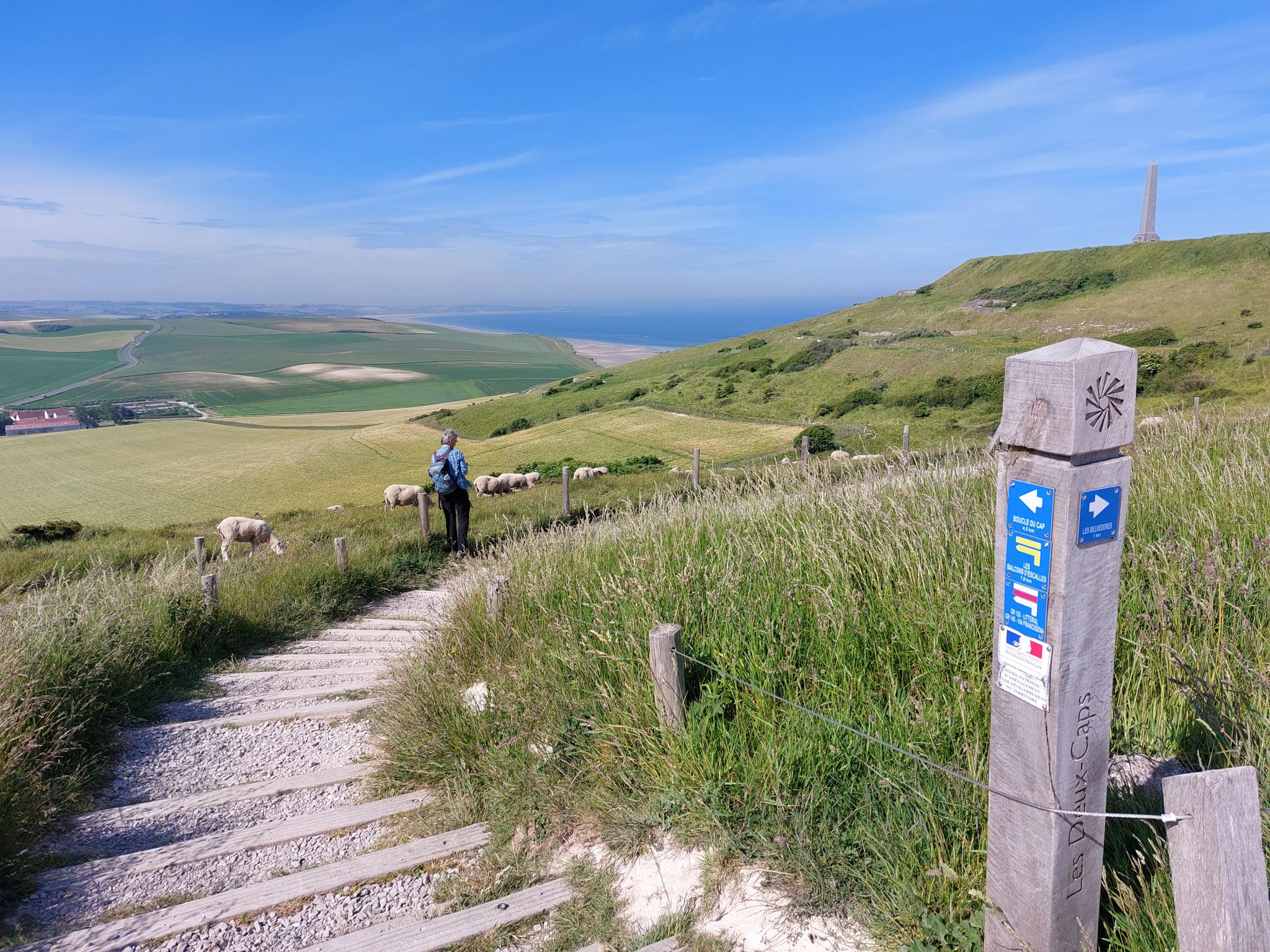
Via Francigena in the Pas-de-Calais – GR 145
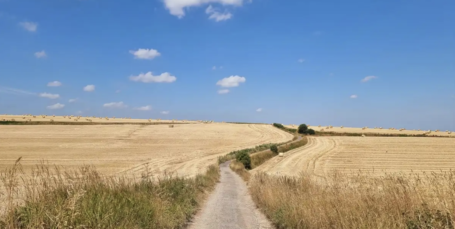
In the footsteps of History — GR 145, the Via Francigena
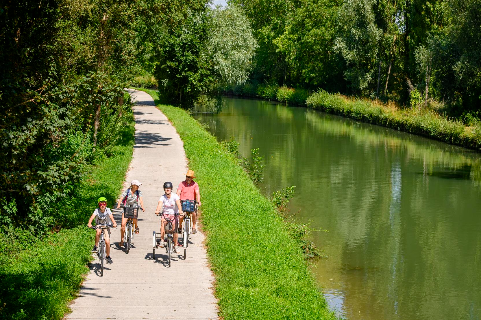
Cycling routes in Hauts-de-France for beginners and families
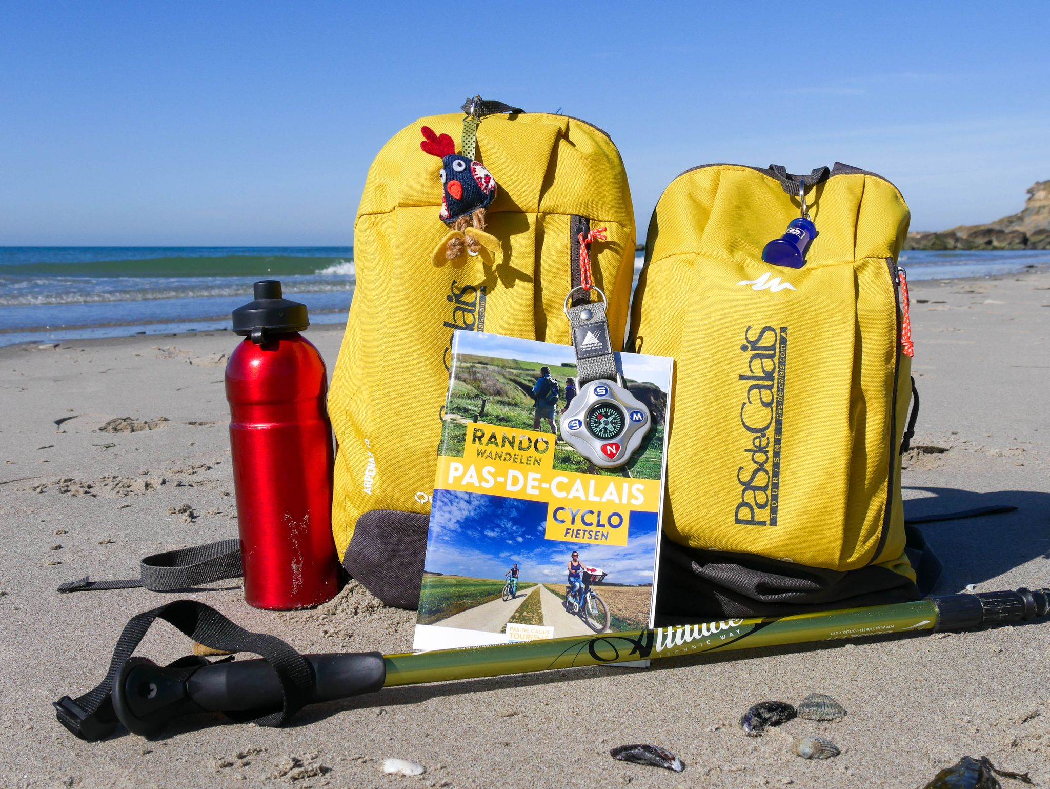
Les Sacados en Rando dans le Pas-de-Calais
Other adventures around Saint-Omer


Tips from the Community

A covered bird hide with a view over the reserve's ponds, ideal for quietly observing birds without disturbing them. Inside, there are large, clear identification charts to help you recognize what you see, including which months each species winters, migrates, or breeds here. On the ponds, you can see all kinds of ducks: dabbling ducks like the common teal, Eurasian wigeon, northern shoveler, gadwall, northern pintail, and common shelduck, and diving ducks like the tufted duck, common pochard, and common goldeneye. Along the banks, waders forage, such as the pied avocet, common redshank, Eurasian oystercatcher, northern lapwing, Eurasian curlew, and bar-tailed godwit. You can also encounter grey herons, little egrets, Eurasian spoonbills, great cormorants, greylag geese, and various gull species. Bring binoculars and give yourself time: the longer you sit still, the more there is to see. Especially during migration periods and in winter, the water is bustling with activity.
0
0
This information board shows nicely how the coast here is constantly changing. Where the “plage du Casino” used to be, a regular sandy beach, the area is gradually silting up. Sea currents and wind bring sand and silt, sandbanks form off the coast, and the former beach becomes overgrown. This is how it changes step by step into a salt marsh and polder-like landscape. Old and recent photos on the board make the difference clearly visible. The board also introduces the breeding birds of the high beach, such as plovers and terns, which depend on exactly such a quiet, open beach. From here you look out over the dunes and the reserve towards the sea. A nice stop to understand why the Platier d’Oye is such a special and dynamic nature reserve.
0
0

A brand new footbridge has just been put in place
0
0


Signposted walking route in the forest
0
0


nature reserve where you can take a short circular walk (1 hour) and go to the observatory
0
0
Frequently Asked Questions
How many easy hiking trails are available around Saint-Omer?
There are over 300 easy hiking trails around Saint-Omer, offering a wide variety of options for accessible outdoor exploration. In total, the region features nearly 700 hiking routes across all difficulty levels.
What natural features can I expect to see on easy hikes around Saint-Omer?
Easy hikes around Saint-Omer primarily explore the unique wetland environment of the Romelaëre Ponds Nature Reserve and the vast Audomarois Marshes, which are France's only cultivated marshland. You'll encounter a network of waterways, market gardens, and diverse flora and fauna. Some trails also lead through forested areas like the Rihoult-Clairmarais Forest or coastal dunes at the Platier d'Oye National Nature Reserve.
Are there any historical sites or landmarks accessible on easy trails?
Yes, several easy trails combine nature with local heritage. For instance, the Fontinettes trail in Arques features an impressive 1887 boat elevator. You can also find historical bunkers, such as the Écardines Bunkers, along some coastal routes. The The Dome – The Helfaut Marsh loop from Wizernes also offers a blend of nature and historical context.
What do other hikers enjoy about easy trails in Saint-Omer?
The easy hiking routes in Saint-Omer are highly rated by the komoot community, with an average score of 4.5 stars from over 1,600 reviews. Hikers often praise the tranquil wetland landscapes, the well-maintained paths, and the opportunity to observe diverse wildlife, especially birds, in the nature reserves.
Are there easy circular routes in Saint-Omer?
Yes, many easy trails in Saint-Omer are circular, allowing you to start and end at the same point. A popular option is the Le marais audomaroiss — loop from Clairmarais, which explores the Audomarois Marshes. Another is the From one bank to the other – Ferry crossing loop from Clairmarais.
Are the easy hiking trails in Saint-Omer suitable for families with children?
Absolutely. The gentle terrain and minimal elevation changes make most easy trails in Saint-Omer ideal for families. Routes through the Audomarois Marshes or the Romelaëre Ponds Nature Reserve offer engaging experiences for children, with opportunities for wildlife spotting and exploring unique landscapes. The Saint-Omer Public Garden also provides a very accessible option for a family stroll.
Can I bring my dog on easy hikes in Saint-Omer?
Many trails in the Saint-Omer region are dog-friendly, especially those in rural and forested areas. However, specific nature reserves, such as the Romelaëre Ponds or Platier d'Oye, may have restrictions or require dogs to be on a leash to protect wildlife. Always check local signage or park regulations before heading out with your dog.
Are there easy trails with good viewpoints?
While the region is generally flat, offering gentle elevation, some trails provide scenic vistas over the expansive marshes or rural landscapes. For example, the Observation point – Écardines Bunkers loop from Oye-Plage offers views of the coastal environment. Trails near the River Aa, like Le Longatte in Blendecques, can offer distant views of industrial heritage blended with nature.
Are there easy trails accessible by public transport in Saint-Omer?
Saint-Omer itself is a hub for public transport. Some trails, like the loop around the city center, are directly accessible. For routes further afield, you may need to combine public transport with a short walk or consider local taxi services. The Saint-Omer station (Saint-Omer station) serves as a good starting point for exploring the area.
Where can I find parking for easy hiking trails?
Many trailheads, especially those starting from villages like Clairmarais or Arques, offer designated parking areas. For example, routes like the War memorial – Clairmarais Church loop from Clairmarais typically have parking available near the starting point. Larger nature reserves also provide visitor parking facilities.
What is the best time of year for easy hikes in Saint-Omer?
Spring and early autumn are ideal for easy hikes in Saint-Omer. During these seasons, the weather is generally mild, and the natural landscapes are vibrant—spring brings blooming wildflowers, while autumn offers beautiful foliage. Summer can also be pleasant, but trails might be busier, and it's advisable to hike in the mornings or late afternoons to avoid the midday heat.
What kind of terrain can I expect on easy hikes in Saint-Omer?
Easy hikes in Saint-Omer are characterized by generally flat terrain with minimal elevation changes. You'll mostly encounter well-maintained paths, often dirt tracks, gravel paths, or boardwalks, especially in wetland areas. Some routes may include short sections on quiet country roads or through small villages.
Are there any easy trails that pass by cafes or places to eat?
Yes, several easy trails pass through or near villages where you can find cafes, restaurants, or local shops. Routes starting or passing through Clairmarais, for instance, often have options for refreshments. The Saint-Omer city center loop provides numerous dining opportunities.
Most popular routes around Saint-Omer
Most popular attractions around Saint-Omer

Get inspired with the komoot mobile app


Didn’t find what you were looking for?
Check out more Hikes throughout Saint-Omer below and find the perfect route in your destination.
Explore more
Browse the best Hikes in other regions.
