The best walks and hikes around Kirchsahr
4.7
(332)
1,180
hikers
41
hikes
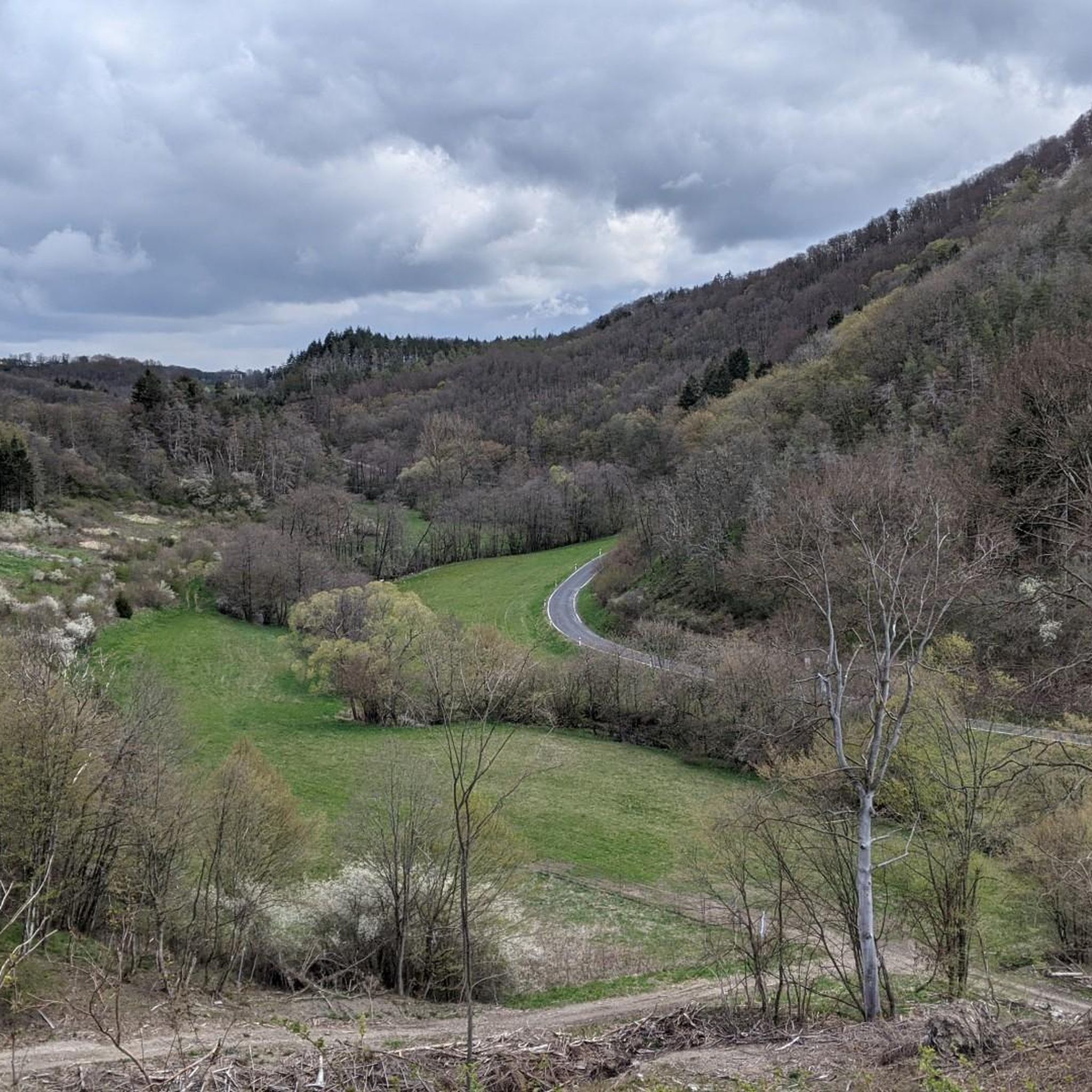
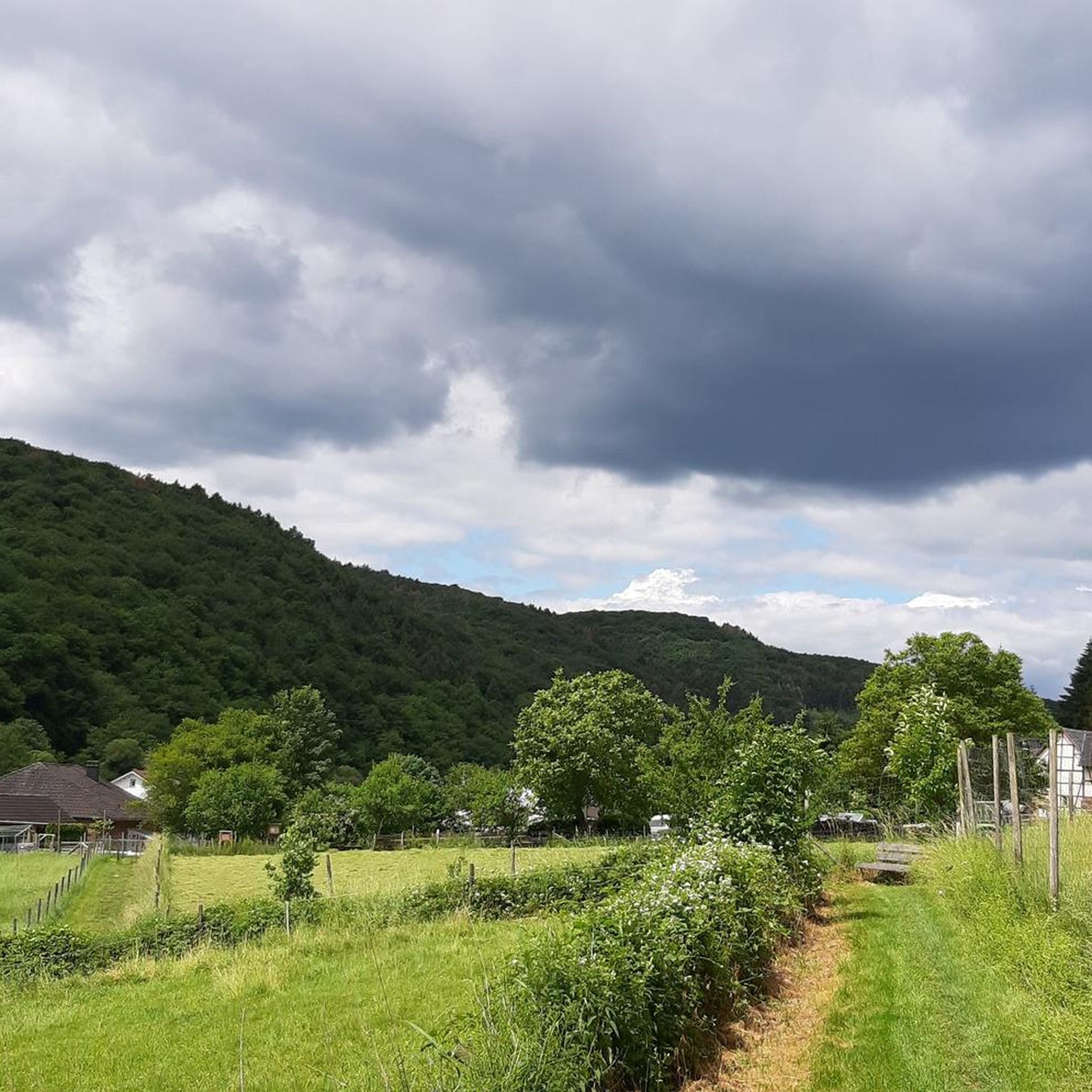
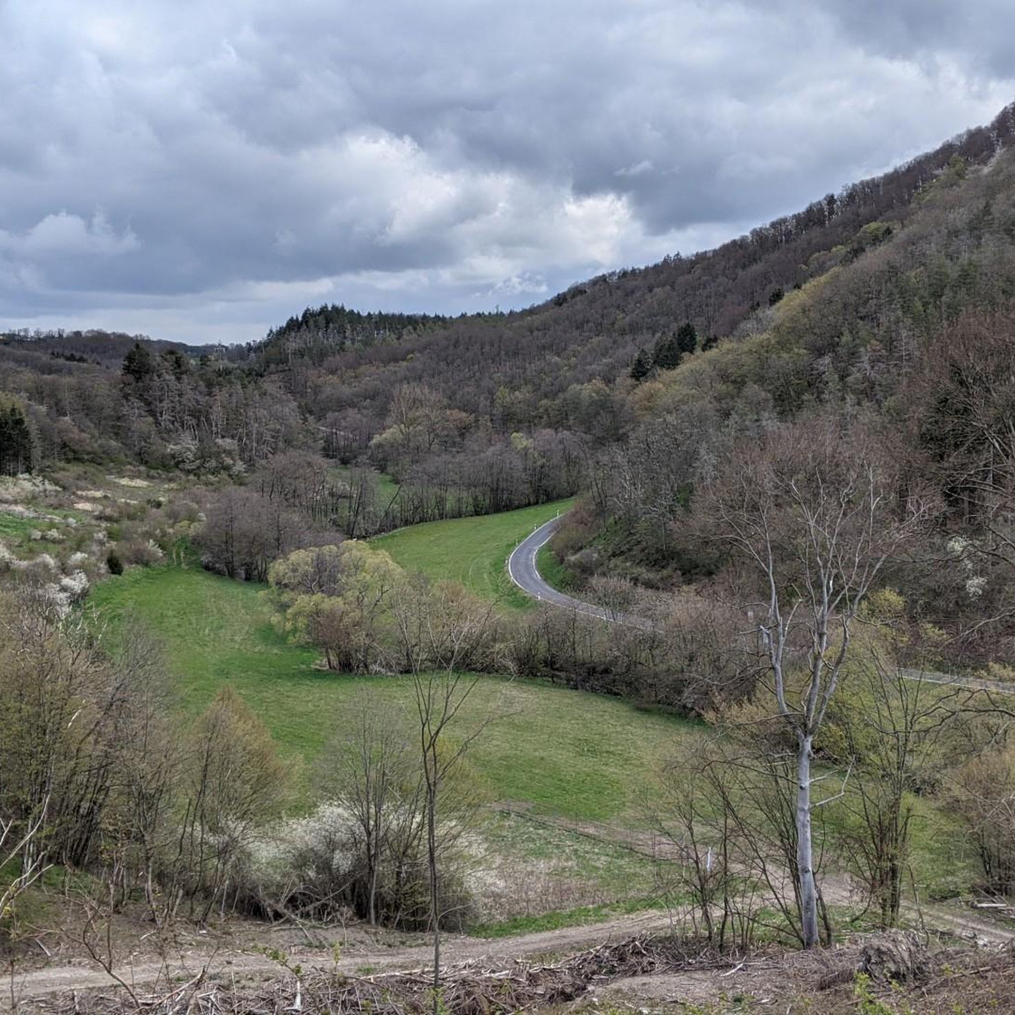
Hiking around Kirchsahr offers diverse landscapes within the Ahrweiler region of Germany. The area features rolling hills, dense forests, and the scenic Ahr valley. The Sahrbachtal, a side valley of the Ahr, is characterized by its stream, wet meadows, and historical traces. Hikers can explore varied terrain, from valley paths to elevated viewpoints.
Best hiking trails around Kirchsahr
- The most popular hiking route is Milky Way Trail - End – Effelsberg Radio Telescope loop from Kirchsahr, a 12.7 miles (20.4 km) difficult trail that takes 5 hours 53 minutes to complete. This route passes by the notable Effelsberg radio telescope.
- Another top favourite among local hikers is Martin's Hut — Grill Cabin – Martinssteig Ridge Trail loop from Kirchsahr, a moderate 4.8 miles (7.7 km) path. This trail explores the ridge with varied forest and open sections.
- Local hikers also love the Galaxies Trail - Start – Effelsberger Bach Trail loop from Kirchsahr, a 3.5 miles (5.6 km) trail leading through the Effelsberger Bach valley, often completed in about 1 hour 33 minutes.
- Hiking around Kirchsahr is defined by the Ahr valley, the Sahrbachtal, and extensive forests. The network offers options for easy strolls, moderate excursions, and more challenging routes.
- The routes in Kirchsahr are highly rated by the komoot community with an average score of 4.7 stars from more than 270 reviews. More than 1200 hikers have used komoot to explore Kirchsahr's varied terrain.
Last updated: September 30, 2026
4.8
(20)
69
hikers
Hard hike. Very good fitness required. Easily-accessible paths. Suitable for all skill levels.
4.4
(17)
81
hikers
7.69km
02:10
160m
160m
Moderate hike. Good fitness required. Easily-accessible paths. Suitable for all skill levels.

4.7
(26)
83
hikers
5.56km
01:33
110m
110m
Easy hike. Great for any fitness level. Easily-accessible paths. Suitable for all skill levels.
4.6
(17)
56
hikers
Hard hike. Very good fitness required. Easily-accessible paths. Suitable for all skill levels.
4.7
(3)
11
hikers
6.23km
01:49
160m
160m
Easy hike. Great for any fitness level. Easily-accessible paths. Suitable for all skill levels.
Get access to more routes and recommendations from other explorers.
Already have an account?
Our route recommendations are based on thousands of hikes, rides, and runs completed by other people on komoot.
Start today with a free account
Your next adventure awaits.
Tips from the Community

The old St. Thomas Church was the Catholic parish church of Houverath until 1913.
1
0
Nice place for a short break.
1
0

Despite it being Sunday, unfortunately too
1
0

With a diameter of 100 meters, the Effelsberg radio telescope, inaugurated on May 12, 1971, is one of the two largest fully articulated radio telescopes on Earth.
0
0

Here, too, you can take a short break after the climb .....
0
0
On various hikes, you can get incredibly close to the telescope. Impressive and enormous, it suddenly appears between the trees. For anyone interested in technology, this is a must-see :-)
0
0

It is amazing what there is to see in Germany
0
0
Frequently Asked Questions
How many hiking trails are available around Kirchsahr?
There are over 40 hiking trails around Kirchsahr, catering to various skill levels. You'll find a good mix of easy strolls, moderate excursions, and more challenging routes through the diverse landscapes of the Ahr valley and Sahrbachtal.
Are there any easy, family-friendly hikes in Kirchsahr?
Yes, Kirchsahr offers several easy trails suitable for families. For instance, the Galaxies Trail - Start – Effelsberger Bach Trail loop from Kirchsahr is an easy 5.6 km route that takes about 1 hour 33 minutes. The "Kirchsaarh Nature Trail" is also ideal for families, featuring interactive stations about local animals and plants.
What are the best times of year for hiking in Kirchsahr?
The best seasons for hiking in Kirchsahr are spring and autumn. During these times, temperatures are mild, and nature displays its full beauty, from blossoming trees in spring to vibrant foliage in autumn. The vineyards of the Ahr valley are particularly picturesque then.
Are there any circular hiking routes in the Kirchsahr area?
Yes, many of the trails around Kirchsahr are circular. The Sahrbachtal, for example, features an extensive network of paths, including various circular routes that offer unique experiences for all ages. You can also find circular routes that incorporate landmarks like the Effelsberg radio telescope.
What kind of scenic viewpoints can I expect on Kirchsahr's trails?
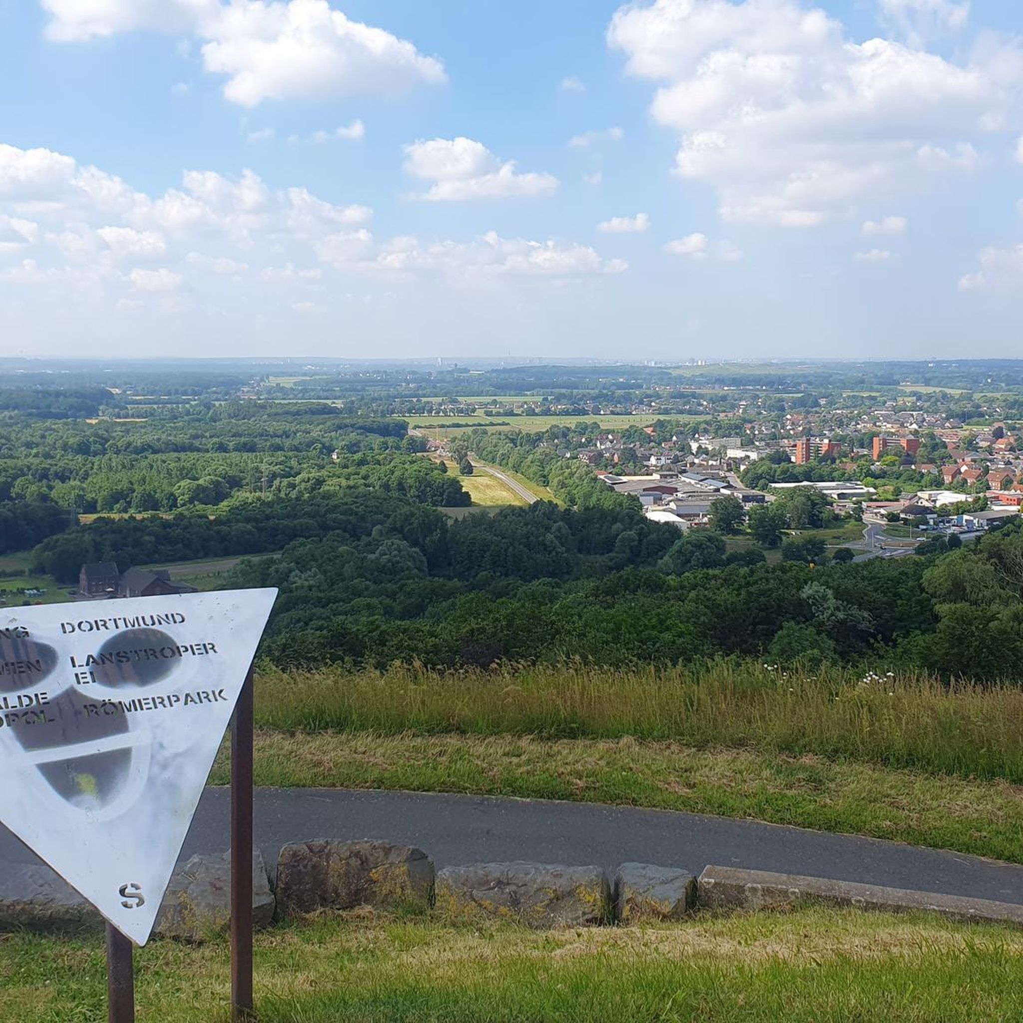
Kirchsahr offers impressive panoramic views, especially from the Ahr heights. Notable peaks like the Hochthürmer Berg (500m) provide extensive views beyond the Ahrgebirge mountains, while the Hasenberg (471.6m) offers breathtaking vistas stretching to the Siebengebirge, Nürburg, and Hohe Acht. The Hochthürmer Viewpoint Bench – St. Thomas Parish Church loop from Kirchsahr is a great option to experience these views.
Are there any dog-friendly hiking trails in Kirchsahr?
Most hiking trails in Kirchsahr are dog-friendly, allowing you and your canine companion to explore the diverse landscapes. The extensive forests and open meadows provide plenty of space for dogs to enjoy. Always remember to keep your dog on a leash where required and clean up after them.
What historical or natural attractions can I discover along the hiking routes?
Hiking around Kirchsahr allows you to discover a rich history and diverse natural features. You can find traces of Celts, Romans, and former mining activities, including tunnels like the Old Tunnel on the Sahrbachweg and the Sahrbachtal Historic Mine Entrance. The Sahrbachtal also features a protected wet meadow, and you can visit the impressive Effelsberg radio telescope via trails like the Milky Way Path.
Where can I find parking for hiking trails near Kirchsahr?
Parking is generally available at various trailheads and central points within and around Kirchsahr. Many routes, especially those starting from the village or leading to popular attractions like the Effelsberg radio telescope, have designated parking areas. Look for 'Wanderparkplatz' signs for specific hiker parking.
What do other hikers enjoy most about hiking in Kirchsahr?
The hiking trails around Kirchsahr are highly rated by the komoot community, with an average score of 4.7 stars from over 270 reviews. Hikers frequently praise the region's diverse landscapes, from the peaceful Sahrbachtal to the panoramic views from the Ahr heights, and the well-maintained paths that cater to all fitness levels.
Are there any longer, more challenging hikes available?
Yes, for those seeking a more challenging experience, Kirchsahr offers longer and more demanding routes. The Milky Way Trail - End – Effelsberg Radio Telescope loop from Kirchsahr is a difficult 20.4 km trail that takes nearly 6 hours to complete, offering significant elevation changes and rewarding views.
Can I combine hiking with other activities, like visiting vineyards?
Absolutely. Kirchsahr is situated near the scenic Ahr valley, renowned for its vineyards. The famous Rotweinwanderweg (Red Wine Trail), spanning about 35 kilometers, winds through picturesque vineyards and villages, offering both stunning scenery and opportunities to sample local wines, making it a perfect combination with hiking.
What is the Sahrbachtal, and why is it special for hikers?
The Sahrbachtal (Sahrbach Valley) is a small, picturesque side valley of the Ahr, considered an insider tip for nature explorers. It's special due to its protected wet meadows, the babbling Sahrbach stream, and historical treasures along its paths, including old mining tunnels. It offers an extensive network of trails, providing a tranquil and historically rich hiking experience.
Most popular routes around Kirchsahr
Most popular attractions around Kirchsahr

Get inspired with the komoot mobile app


Explore more
Browse the best Hikes in other regions.
