Easy hikes and walks around Bruck an der Großglocknerstraße
4.5
(18837)
103,527
hikers
65
hikes
Easy hiking trails around Bruck an der Großglocknerstraße traverse a landscape defined by its alpine setting at the northern gateway to the Hohe Tauern National Park. The region features towering mountains, including views of the Großglockner, and the valley of the Salzach River. Hikers encounter diverse terrain, from gentle paths along Lake Zell to routes through alpine meadows. The area offers a network of trails suitable for various fitness levels.
Best easy hiking trails around Bruck an der Großglocknerstraße
- The…
Last updated: July 14, 2026
4.2
(6)
20
hikers
6.42km
01:55
180m
180m
Easy hike. Great for any fitness level. Easily-accessible paths. Suitable for all skill levels.
3.7
(6)
25
hikers
Easy hike. Great for any fitness level. Easily-accessible paths. Suitable for all skill levels.

Sign up for free
5.0
(1)
23
hikers
Easy hike. Great for any fitness level. Easily-accessible paths. Suitable for all skill levels.
5.0
(1)
26
hikers
Easy hike. Great for any fitness level. Easily-accessible paths. Suitable for all skill levels.
17
hikers
Easy hike. Great for any fitness level. Easily-accessible paths. Suitable for all skill levels.
Get access to more routes and recommendations from other explorers.
Sign up for free
Already have an account?
Our route recommendations are based on thousands of hikes, rides, and runs completed by other people on komoot.
Start today with a free account
Your next adventure awaits.
Login or Signup
Popular around Bruck an der Großglocknerstraße
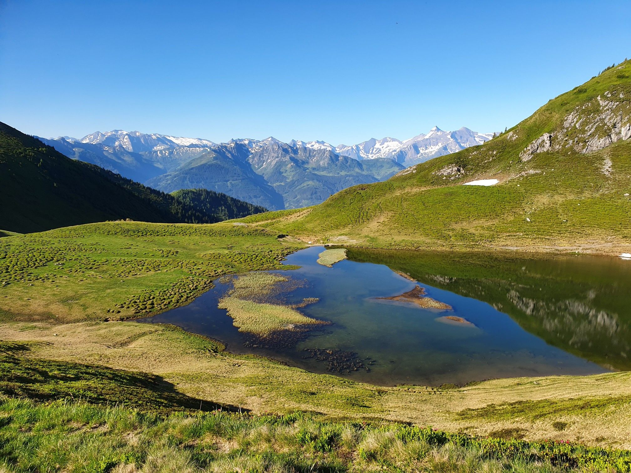
Hohe Tauern Panorama Trail – Face-to-face with 3000-metre peaks
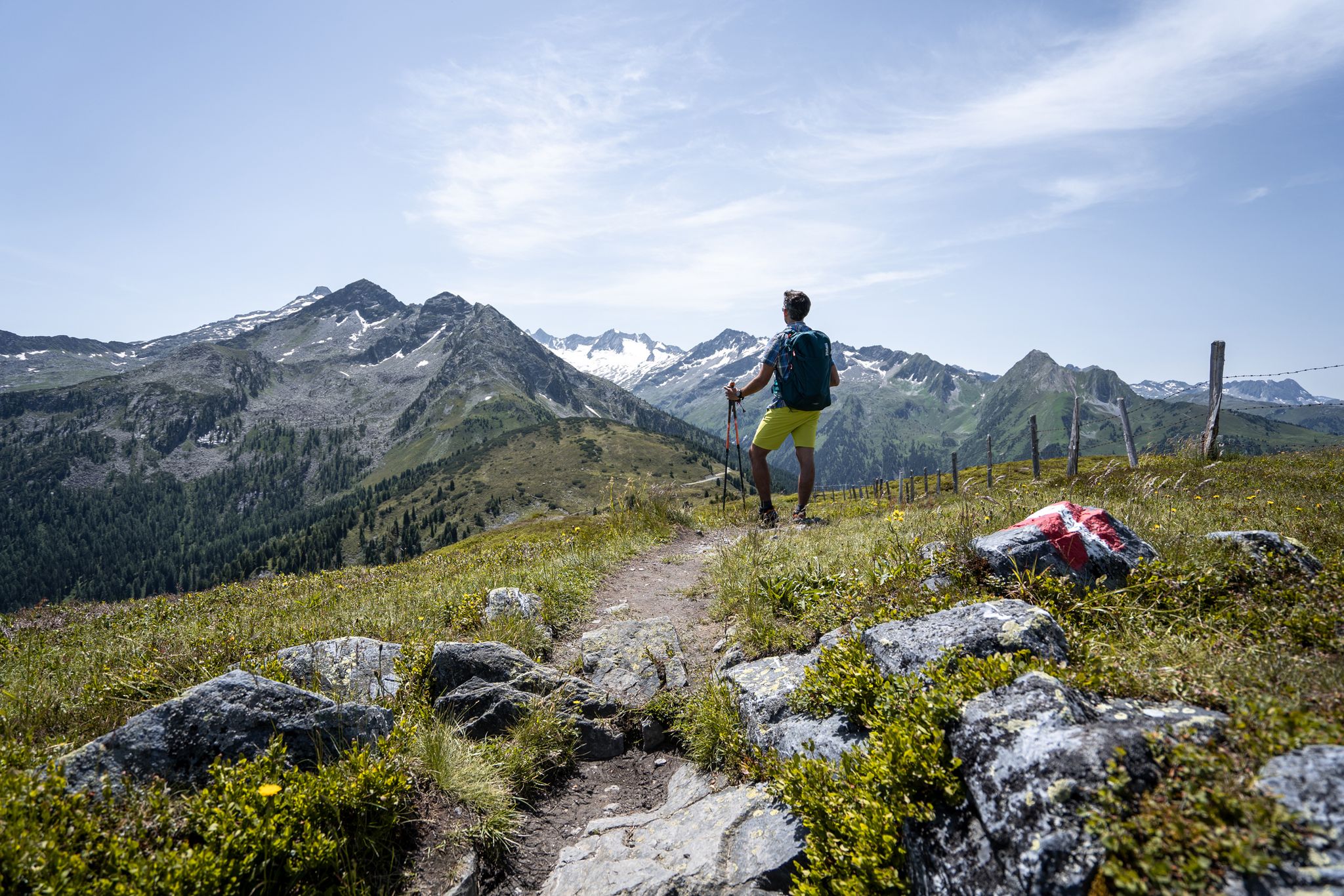
Best views of the highest mountains — Hohe Tauern Panorama Trail
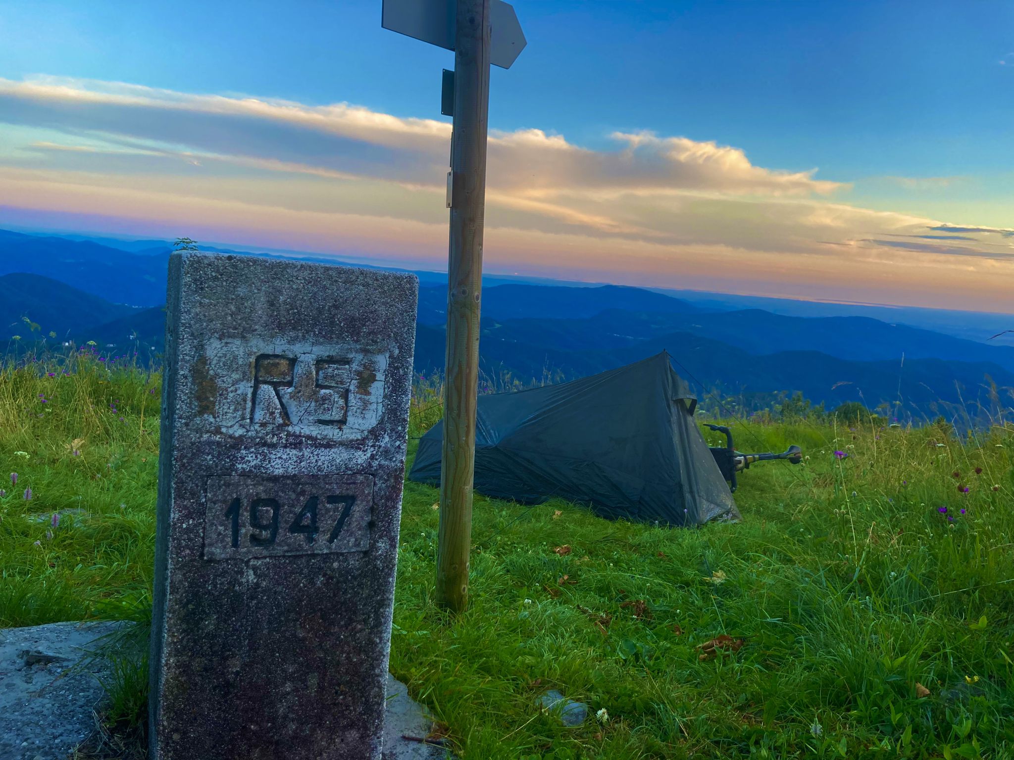
From Bavaria to the Adriatic - My Bikepacking Adventure to Croatia 2023

Magnificent mountain biking on Austria's alpine pastures
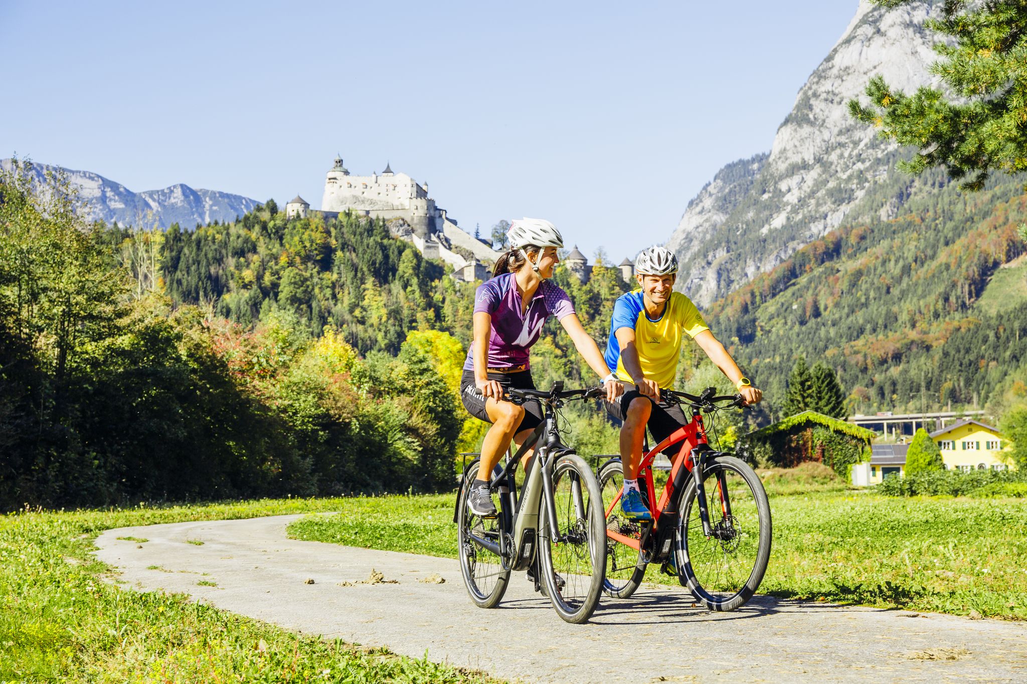
The Krimml-Passau Tauern Cycle Path and the Tauern Cycle Trail Circuit
Top Tour tips from the bike hotels in Austria’s SalzburgerLand
10 epic Alpine challenges
Bike Hotels im Salzburgerland
Other adventures around Bruck an der Großglocknerstraße


Tips from the Community


The bench overlooking the mountains is an ideal resting place along the trail. From here, your gaze sweeps over the surrounding peaks while you can quietly enjoy the tranquility of nature. A perfect place to pause for a moment and recharge.
3
0
The huts on the Erlhofplatte offer a picturesque setting amidst alpine meadows. Surrounded by mountain panoramas and tranquil nature, they are an idyllic place to rest and enjoy. From here, the vastness of the Hohe Tauern can be experienced in a particularly beautiful way.
3
0
The shady rest area invites you to take a relaxing break. Sitting under the trees, you can enjoy the fresh air—a pleasant place to catch your breath before continuing on.
4
0

Bruck, a beautiful little town at the beginning of the Großglockner Road.
0
0

cozy terrace in the sun, ideal to refuel. Delicious kitchen, super friendly service
0
0

A beautiful church
3
0
Frequently Asked Questions
How many easy hiking trails are available around Bruck an der Großglocknerstraße?
There are over 20 easy hiking trails in the Bruck an der Großglocknerstraße region. These routes are designed to be accessible and enjoyable for a wide range of hikers, offering diverse landscapes from valley paths to scenic viewpoints.
What do other hikers enjoy most about the easy trails in Bruck an der Großglocknerstraße?
The easy trails in Bruck an der Großglocknerstraße are highly rated by the komoot community, with an average score of 4.6 stars from over 1500 reviews. Hikers often praise the stunning views of Lake Zell and the surrounding alpine scenery, as well as the well-maintained paths that make for a pleasant walking experience.
Are there any easy circular hiking routes in Bruck an der Großglocknerstraße?
Yes, many easy trails in the region are circular, allowing you to start and end at the same point. For example, the Bench With a View of Lake Zell – View of Lake Zell loop from Bruck an der Großglocknerstraße is a popular circular route offering beautiful lake views.
Which easy trails offer the best views of Lake Zell?
Several easy trails provide excellent views of Lake Zell. The Bench With a View of Lake Zell – View of Lake Zell loop from Bruck an der Großglocknerstraße and the Bench With a View of Lake Zell – View of Lake Zell loop from Bruck-Fusch are both highly recommended for their panoramic vistas of the lake and the surrounding mountains.
Are there family-friendly easy hikes suitable for children?
Absolutely. The region offers several family-friendly options. The View of the Mountains – Goldfröschlein Legend Trail loop from St. Georgen is a themed path ideal for families, featuring wide forest paths and engaging points of interest for younger hikers.
Can I bring my dog on the easy hiking trails?
Many easy hiking trails in the Bruck an der Großglocknerstraße region are dog-friendly. It's always advisable to keep your dog on a leash, especially in areas with livestock or wildlife, and to check local regulations for specific trails. Ensure you carry water for your pet.
What natural attractions can I see on an easy hike?
Beyond the stunning alpine scenery and views of the Großglockner, you can explore natural wonders like the Sigmund Thun Gorge near Kaprun, known for its steep rock faces and thundering waterfalls. The gorge leads to the turquoise Klammsee, which also has an easy circular path.
Are there any historical landmarks or castles visible from easy trails?
Yes, you can spot historical landmarks. For instance, the Gasthof Lukasbrunn – Fischhorn Castle loop from Bruck an der Großglocknerstraße offers views of Fischhorn Castle. You might also catch a glimpse of Kaprun Castle from various viewpoints in the area.
When is the best time of year for easy hiking in Bruck an der Großglocknerstraße?
The best seasons for easy hiking in Bruck an der Großglocknerstraße are spring, summer, and autumn. During these months, the weather is generally mild, and the landscapes are at their most beautiful, with vibrant alpine meadows in spring and summer, and colorful foliage in autumn.
Are there places to eat or rest along the easy hiking routes?
While specific cafes directly on every easy route vary, the region has numerous mountain huts and inns. For example, the Gasthof Lukasbrunn – Sporthotel Kitz loop from Bruck an der Großglocknerstraße passes by local establishments. Many trails are also close to towns where you can find restaurants and cafes.
Is public transport available to access easy hiking trailheads?
Bruck an der Großglocknerstraße is well-connected within the Pinzgau region. Public transport, including buses, can provide access to various starting points for hikes. It's recommended to check local bus schedules for specific routes to plan your journey to the trailheads.
Where can I find parking for easy hikes?
Parking is generally available near popular trailheads and in the towns of Bruck an der Großglocknerstraße and nearby communities. Many routes, especially circular ones, often have designated parking areas at their starting points. Look for signs indicating 'Wanderparkplatz' (hiker's parking).
Most popular routes around Bruck an der Großglocknerstraße
Most popular attractions around Bruck an der Großglocknerstraße

Get inspired with the komoot mobile app


Explore more
Browse the best Hikes in other regions.
