The best walks and hikes around Bruck an der Großglocknerstraße
4.5
(20979)
110,563
hikers
64
hikes
Hiking around Bruck an der Großglocknerstraße offers access to diverse alpine terrain, situated between the Hohe Tauern National Park and the Salzach River. The region features high mountain peaks, glaciers, and numerous lakes within the national park, alongside the scenic Grossglockner High Alpine Road. This geographical setting provides a variety of landscapes, from river valleys to high alpine environments, suitable for different hiking experiences.
Best hiking trails around Bruck an der Großglocknerstraße
- The most popular hiking route is View of Lake Zell – Bench With a View of Lake Zell loop from Bruck-Fusch, a 7.1 miles (11.4 km) trail that takes 3 hours 40 minutes to complete. This moderate route offers panoramic views of Lake Zell.
- Another top favourite among local hikers is Rest stop at Adamhütte – View from Moosalm loop from Großsonnberg, a moderate 7.4 miles (11.9 km) path. This trail leads through alpine pastures with opportunities for rest at mountain huts.
- Local hikers also love the View of the Drei Brüder – Schafelkopf Summit loop from Kösslrieß, a 10.2 miles (16.4 km) trail leading through mountainous terrain to a summit viewpoint, often completed in about 7 hours 6 minutes.
- Hiking around Bruck an der Großglocknerstraße is defined by high alpine peaks, glacial landscapes, and river valleys. The network offers options for easy walks, family-friendly routes, and challenging multi-day treks.
- The routes in Bruck an der Großglocknerstraße are highly rated by the komoot community with an average score of 4.6 stars from more than 1500 reviews. More than 6800 hikers have used komoot to explore Bruck an der Großglocknerstraße's varied terrain.
Last updated: October 4, 2026
4.5
(170)
679
hikers
11.9km
03:47
470m
470m
Moderate hike. Good fitness required. Easily-accessible paths. Suitable for all skill levels.
4.9
(24)
165
hikers
12.0km
04:32
790m
790m
Moderate hike. Good fitness required. Mostly accessible paths. Sure-footedness required.

4.9
(18)
148
hikers
16.4km
07:06
1,200m
1,200m
Hard hike. Very good fitness required. Sure-footedness, sturdy shoes and alpine experience required.
4.4
(38)
124
hikers
Moderate hike. Good fitness required. Easily-accessible paths. Suitable for all skill levels.
4.4
(28)
121
hikers
19.2km
05:02
140m
140m
Hard hike. Very good fitness required. Easily-accessible paths. Suitable for all skill levels.
Get access to more routes and recommendations from other explorers.
Already have an account?
Our route recommendations are based on thousands of hikes, rides, and runs completed by other people on komoot.
Start today with a free account
Your next adventure awaits.
Popular around Bruck an der Großglocknerstraße
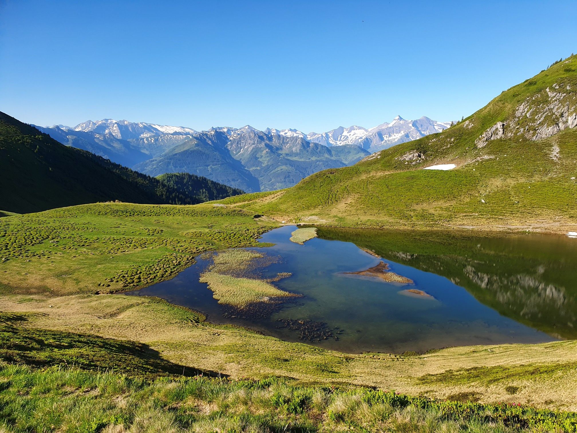
Hohe Tauern Panorama Trail – Face-to-face with 3000-metre peaks
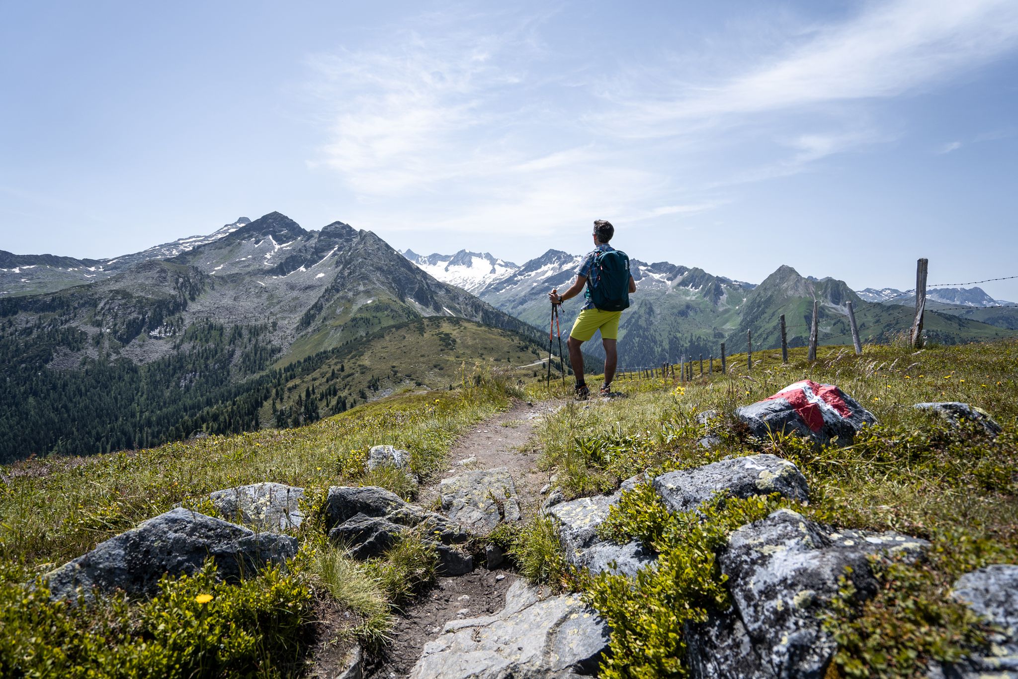
Best views of the highest mountains — Hohe Tauern Panorama Trail
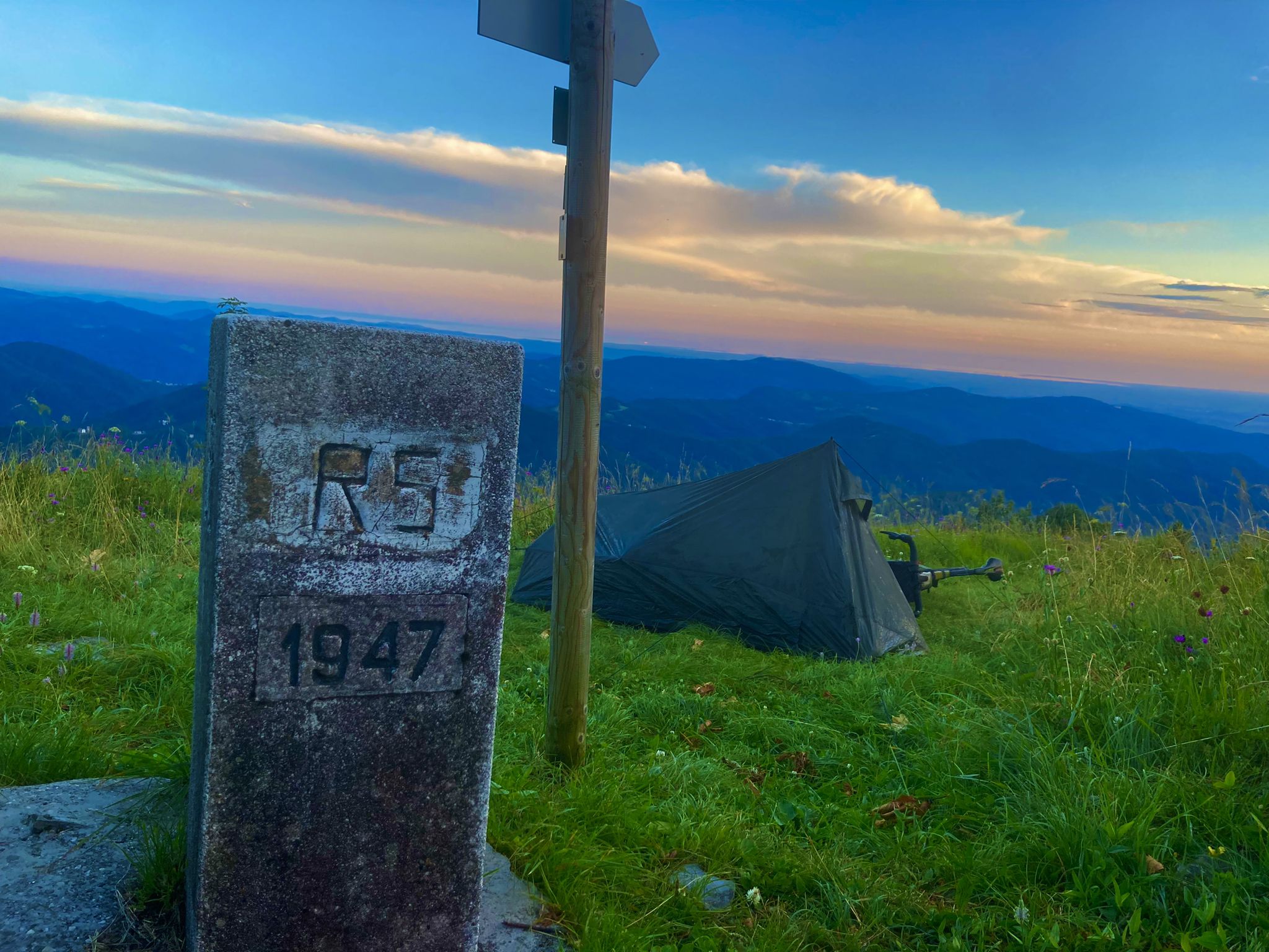
From Bavaria to the Adriatic - My Bikepacking Adventure to Croatia 2023

Magnificent mountain biking on Austria's alpine pastures
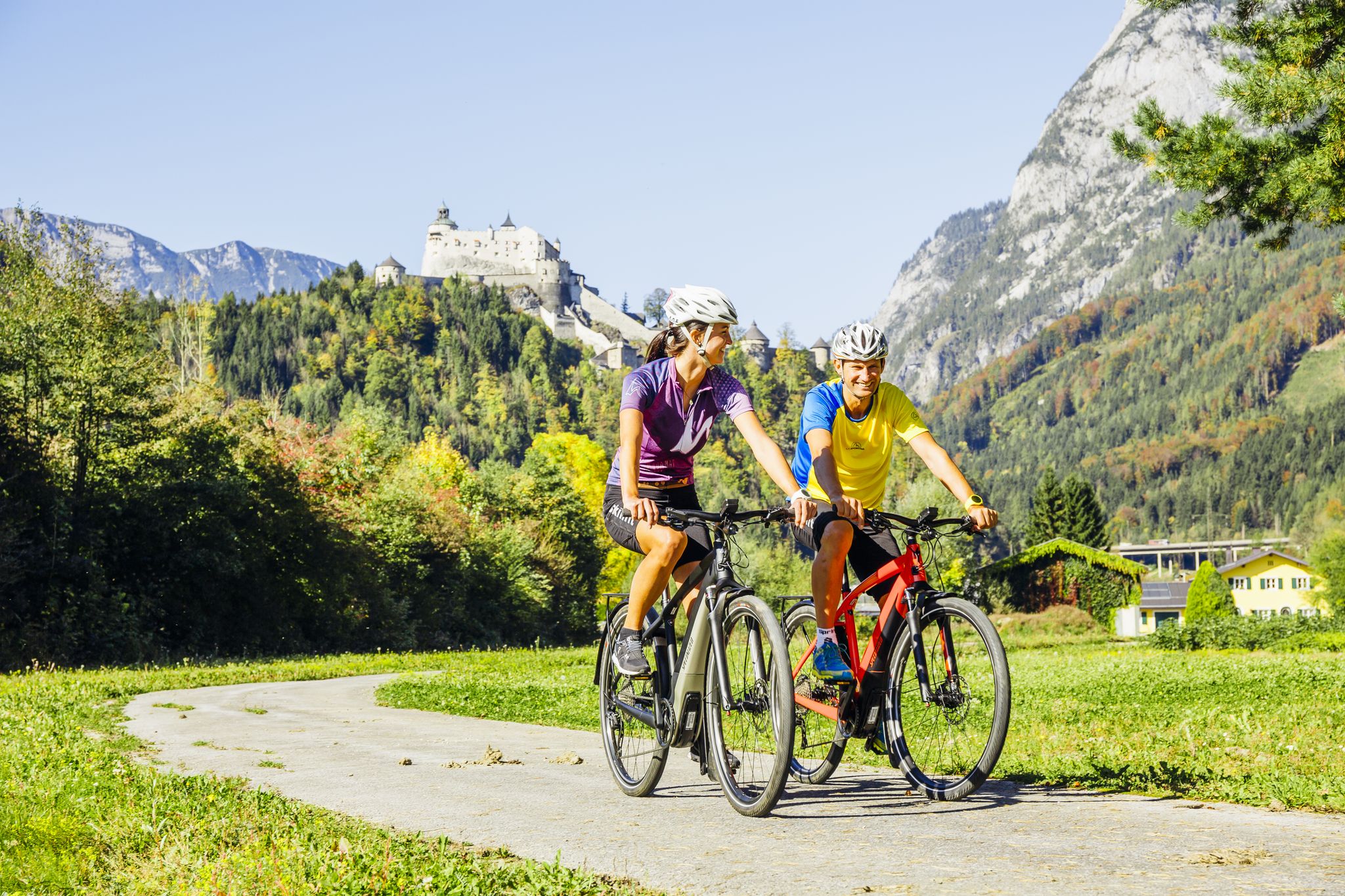
The Krimml-Passau Tauern Cycle Path and the Tauern Cycle Trail Circuit
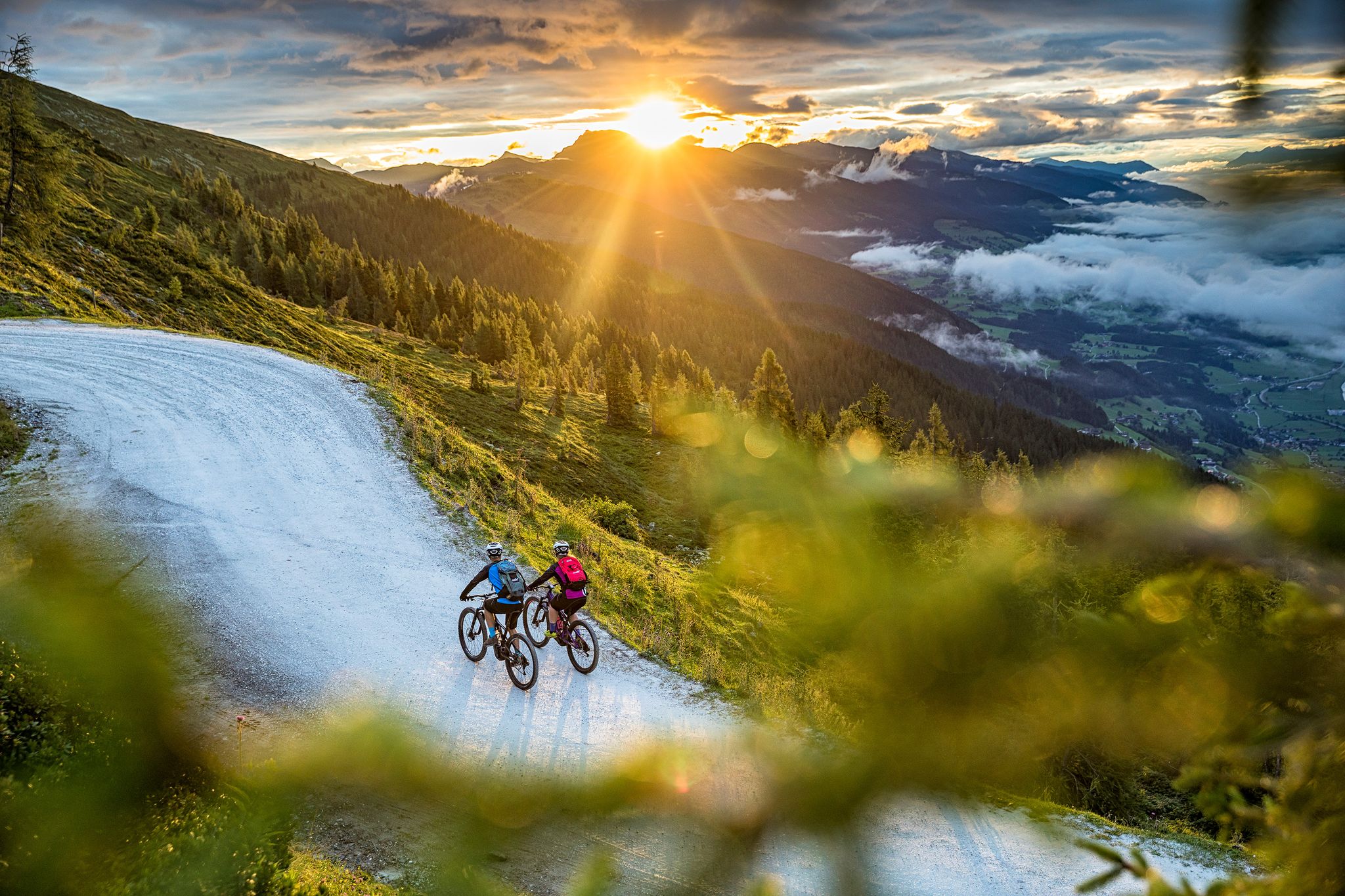
Top Tour tips from the bike hotels in Austria’s SalzburgerLand
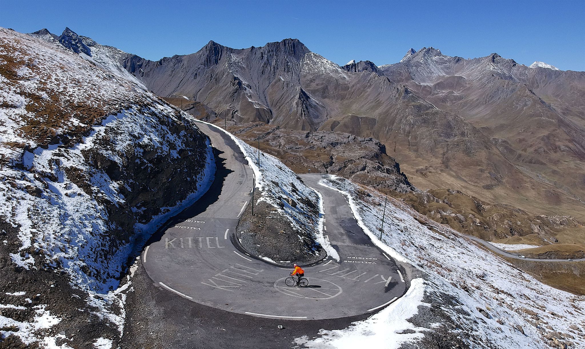
10 epic Alpine challenges
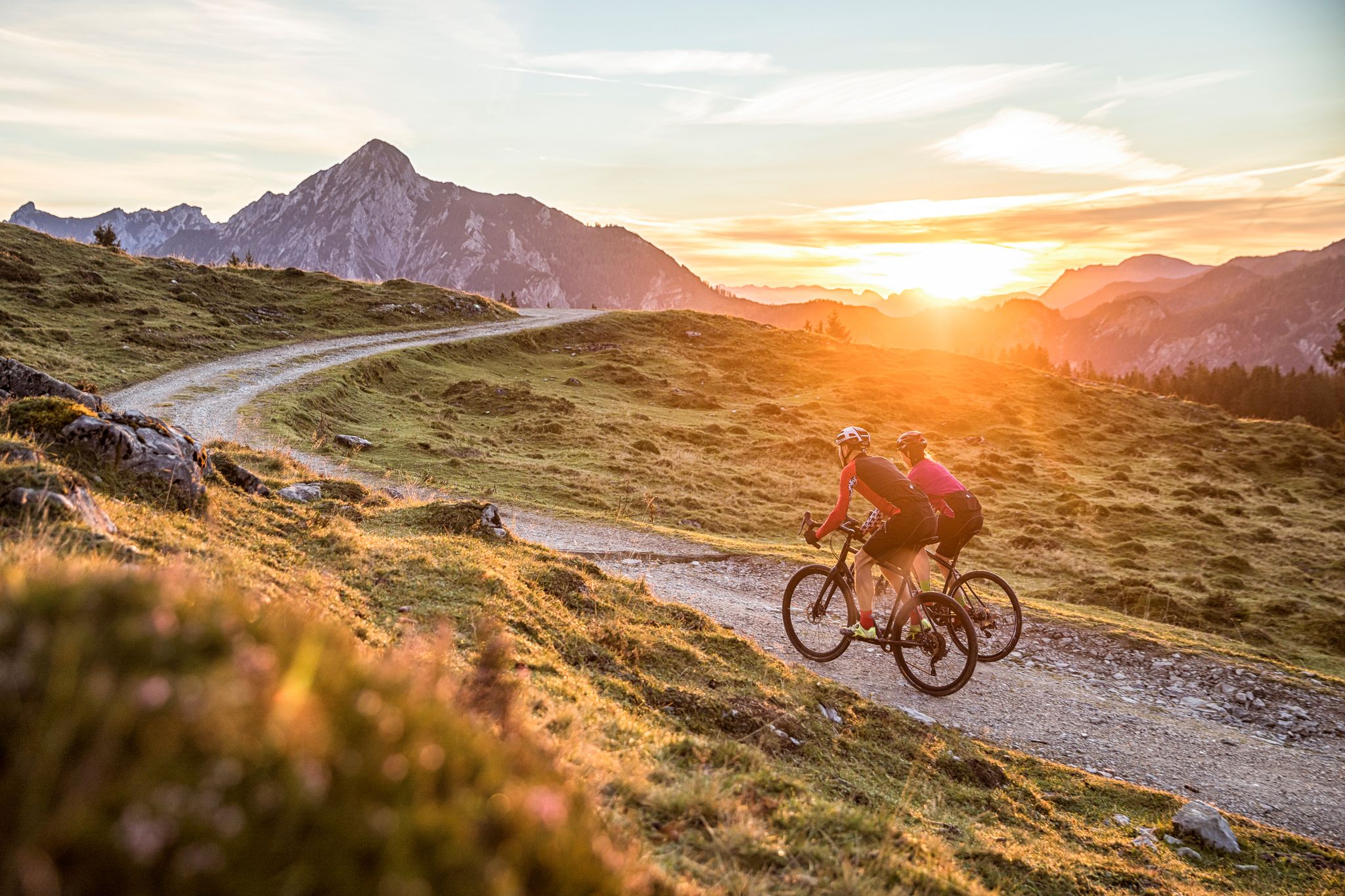
Bike Hotels im Salzburgerland
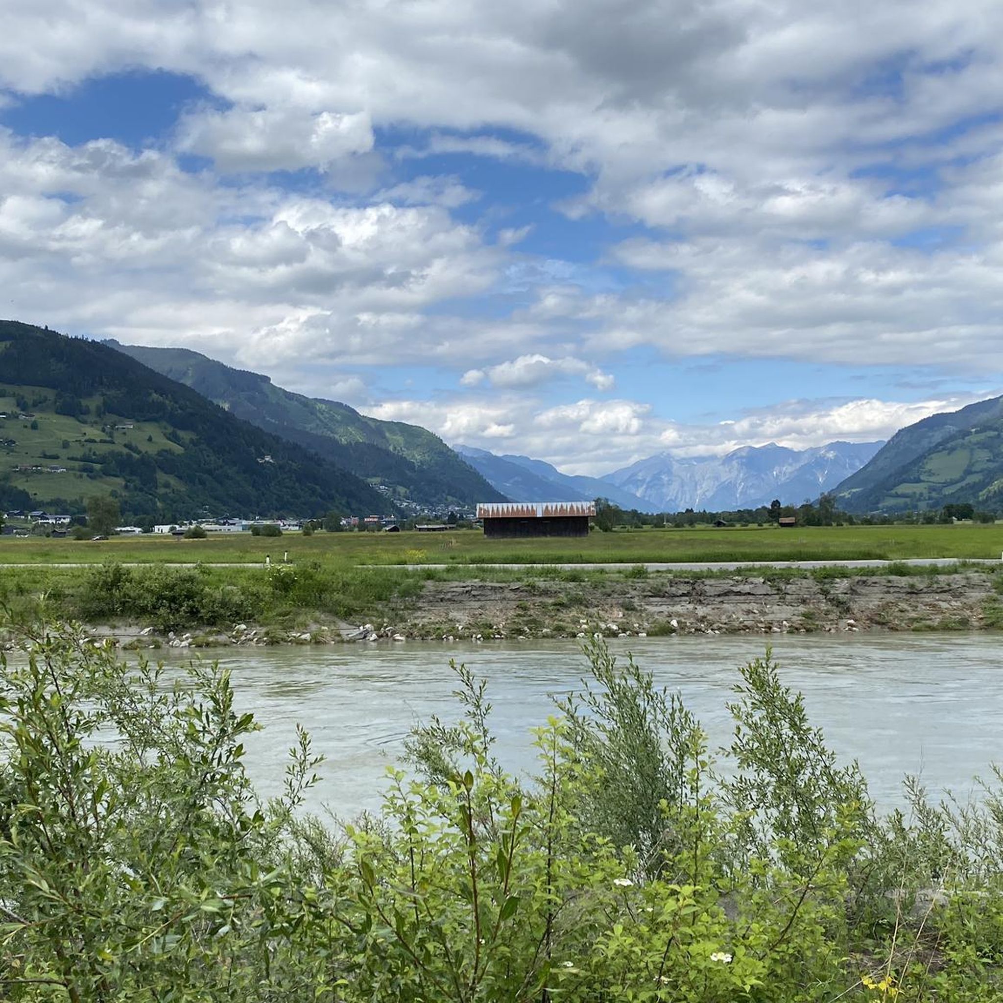
Cycling around Bruck an der Großglocknerstraße
MTB Trails around Bruck an der Großglocknerstraße
Other adventures around Bruck an der Großglocknerstraße


Tips from the Community


Very nice area for hiking
0
0

On the ascent to the Erlhofplatte, you'll find a small wayside shrine right by the path. It's a silent witness to times gone by and invites you to pause for a moment before the trail continues uphill. With its tranquil setting amidst nature, it makes for an atmospheric stopover.
3
0
The bench, with its beautiful view over Bruck an der Großglocknerstraße, is an ideal rest stop on your tour. From here, you can enjoy a sweeping view over the town and out into the Salzach Valley, framed by the surrounding mountains. It's a perfect place to pause for a moment, take in the scenery, and recharge your batteries.
3
0
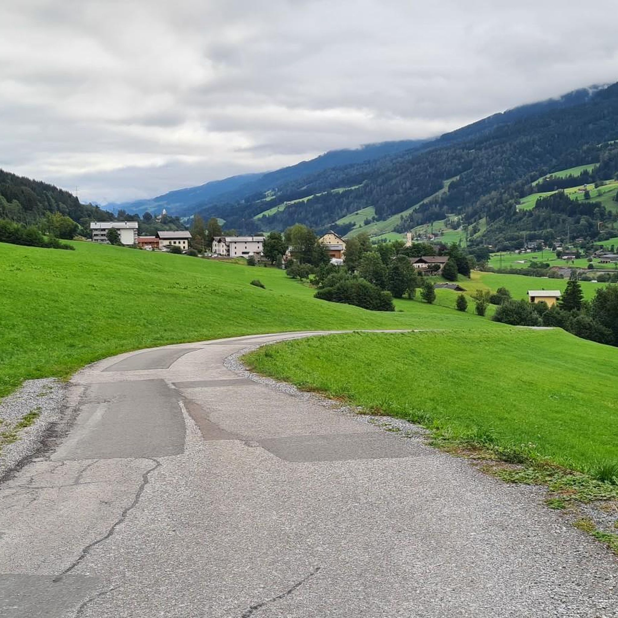
At the end of the paved road, a magnificent mountain view opens up – this is where the tranquil countryside begins, far from traffic. It's an ideal spot to pause for a moment, enjoy the view, and prepare for the next steps into the alpine terrain.
3
0

The Seisenberg Gorge is more beautiful because it is more pristine.
0
0
Bruck, a beautiful little town at the beginning of the Großglockner Road.
0
0

Frequently Asked Questions
How many hiking trails are available around Bruck an der Großglocknerstraße?
There are over 60 hiking routes in the Bruck an der Großglocknerstraße region, catering to various skill levels. This includes more than 20 easy trails, 30 moderate routes, and 10 challenging options for experienced hikers.
What is the best time of year to go hiking in Bruck an der Großglocknerstraße?
The prime hiking season is generally from late spring to early autumn (May to October). During this period, the weather is most favorable, and high alpine trails are typically free of snow. Early summer offers the spectacle of alpine roses in bloom, while autumn provides clear views and vibrant foliage.
Are there options for easy, family-friendly hikes?
Yes, the region offers many easy and family-friendly trails. These often include themed paths with interactive stations, such as those found in the Hohe Tauern National Park. Many routes are designed for shorter excursions, perfect for families with children.
Can I find challenging multi-day treks in this region?
Absolutely. Bruck an der Großglocknerstraße provides access to high alpine terrain, including challenging multi-day treks within the Hohe Tauern National Park. The Grossglockner High Alpine Road also serves as a starting point for demanding tours, with trails leading to peaks and offering extensive views.
What natural landmarks or attractions can I explore while hiking near Bruck an der Großglocknerstraße?
The region is rich in natural beauty. You can explore impressive gorges like the Sigmund Thun Gorge or the Kitzlochklamm Gorge. The Klammsee Dam and Spillway is another interesting sight. For panoramic views, consider trails leading to summits like Maurerkogel Summit Cross or Hundstein Summit.
Are there any gorges or waterfalls to visit?
Yes, the area is known for its stunning natural gorges and waterfalls. The Sigmund Thun Gorge is a remarkable natural monument with thundering waterfalls. Additionally, the famous Krimml Waterfalls, Europe's largest, are located within the Hohe Tauern National Park and are accessible via dedicated hiking trails.
Are there circular hiking routes available?
Many of the hiking routes around Bruck an der Großglocknerstraße are circular, allowing you to start and end at the same point. An example is the View of Lake Zell – Bench With a View of Lake Zell loop from Bruck-Fusch, which offers scenic views and returns to its starting point.
Are the hiking trails in Bruck an der Großglocknerstraße suitable for dogs?
Most hiking trails in the region are dog-friendly, but it's always advisable to keep dogs on a leash, especially in nature protection areas like the Hohe Tauern National Park, and when passing through pastures with livestock. Always carry water for your dog and be mindful of local regulations.
Are there opportunities to stop at mountain huts during hikes?
Yes, the region has numerous cozy huts and inns along its trails, providing excellent opportunities for rest and to enjoy local delicacies. The Rest stop at Adamhütte – View from Moosalm loop from Großsonnberg is an example of a route that includes a mountain hut stop.
What are the parking options for hikers in Bruck an der Großglocknerstraße?
Designated parking areas are available at many trailheads and popular starting points for hikes around Bruck an der Großglocknerstraße. For routes accessing the Hohe Tauern National Park or the Grossglockner High Alpine Road, specific parking facilities are usually provided, sometimes for a fee.
How can I reach hiking trails using public transport?
Public transport options, including buses, connect Bruck an der Großglocknerstraße with various villages and trailheads in the surrounding area. It's recommended to check local bus schedules for specific routes and connections to access hiking starting points, especially for trails within the national park or along the Grossglockner High Alpine Road.
What do other hikers enjoy most about the trails around Bruck an der Großglocknerstraße?
The trails around Bruck an der Großglocknerstraße are highly rated by the komoot community, with an average score of 4.6 stars from over 1500 reviews. Hikers frequently praise the diverse landscapes, from river valleys to high alpine environments, and the breathtaking views of the Hohe Tauern National Park and Lake Zell.
Most popular routes around Bruck an der Großglocknerstraße
Most popular attractions around Bruck an der Großglocknerstraße

Get inspired with the komoot mobile app


Explore more
Browse the best Hikes in other regions.
