Easy hikes and walks around Lenningen
4.6
(9748)
36,510
hikers
306
hikes
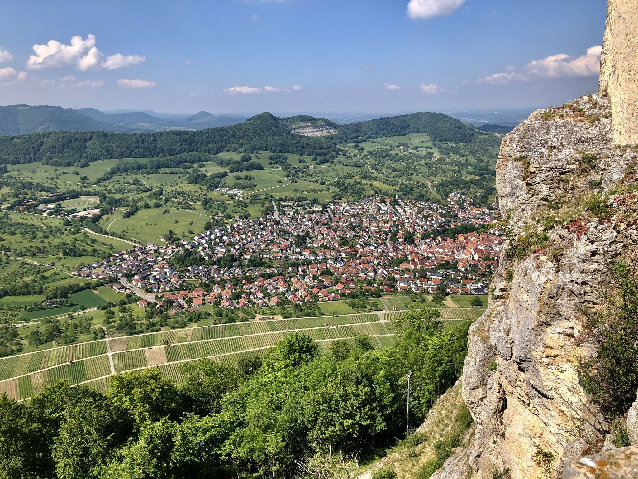
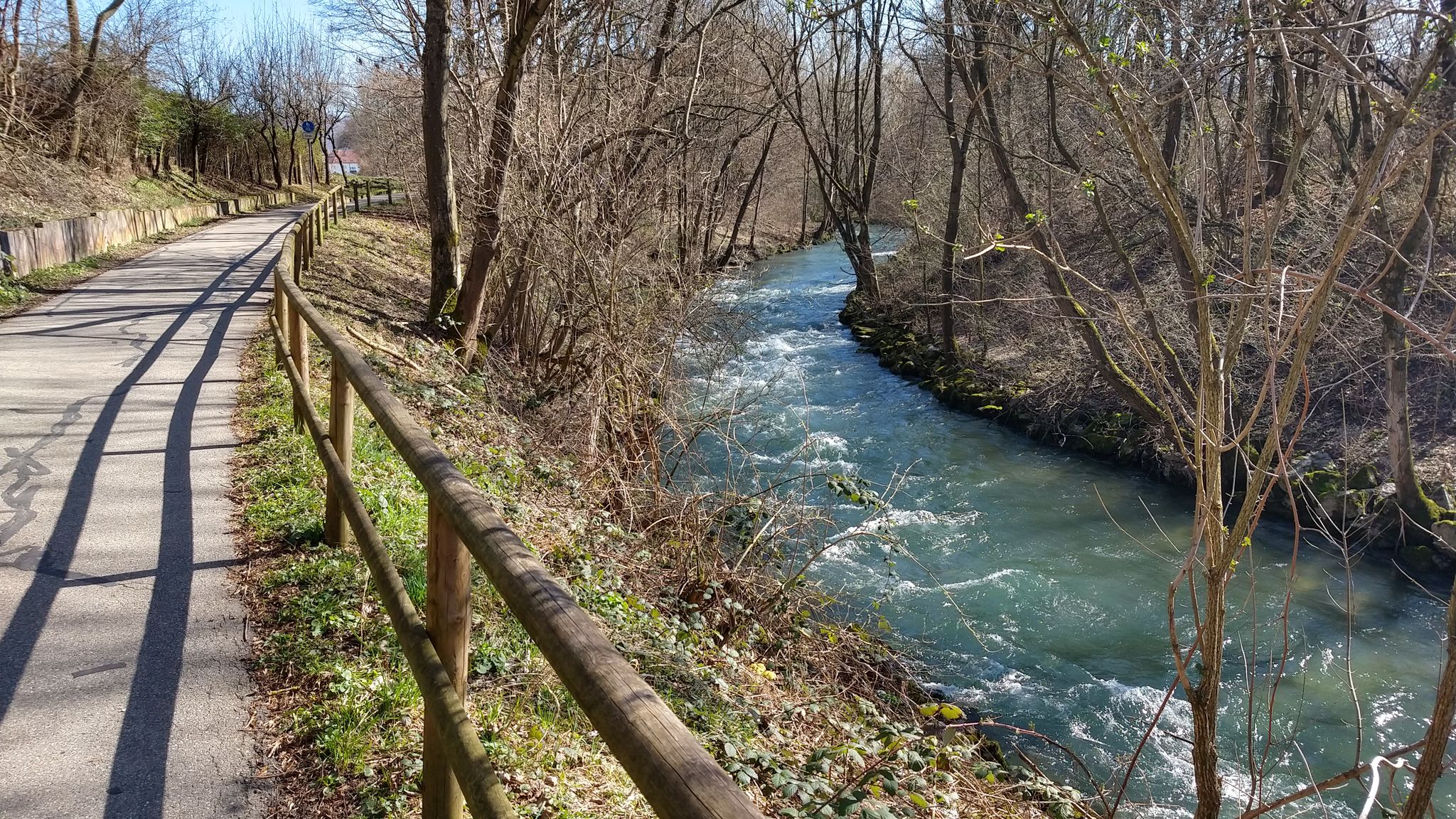
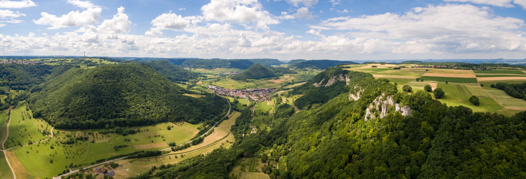
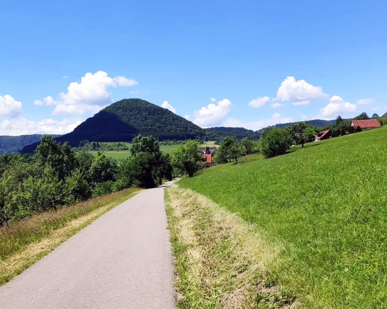
Easy hiking trails around Lenningen traverse a diverse landscape within the Swabian Alb region, characterized by its valleys, natural deciduous forests, and numerous karst springs. The area features impressive cliffs and viewpoints, offering vistas across the Lenningen Valley and the Alb foreland. Hikers can explore a mosaic of biotopes, including dry grasslands and wet gorge forests, with routes often following the clear streams of the Upper Lenningen Valley.
Best easy hiking trails around Lenningen
- The most popular easy hiking route…
Last updated: July 27, 2026
4.4
(214)
710
hikers
Easy hike. Great for any fitness level. Easily-accessible paths. Suitable for all skill levels.
4.8
(126)
430
hikers
Easy hike. Great for any fitness level. Easily-accessible paths. Suitable for all skill levels.

Sign up for free
4.6
(75)
300
hikers
Easy hike. Great for any fitness level. Easily-accessible paths. Suitable for all skill levels.
4.8
(62)
147
hikers
Easy hike. Great for any fitness level. Easily-accessible paths. Suitable for all skill levels.
4.2
(25)
122
hikers
Easy hike. Great for any fitness level. Easily-accessible paths. Suitable for all skill levels.
Get access to more routes and recommendations from other explorers.
Sign up for free
Already have an account?
Our route recommendations are based on thousands of hikes, rides, and runs completed by other people on komoot.
Start today with a free account
Your next adventure awaits.
Login or Signup
Other adventures around Lenningen


Tips from the Community

The Sulzburg ruin lies on a volcanic embryo above the Lautertal near Unterlenningen, from where it can be easily reached in about fifteen minutes. From here, the view extends down into the Lenninger Tal. The Sulzburg has appeared in documents since the 14th century. The first known owners were the Lords of Neidlingen. From around 1395, the Sulzburg was a Württemberg fief of a branch of the Lords of Speth, who called themselves Speth von Sulzburg. During the Thirty Years' War, the castle was occupied and destroyed by imperial troops, but later rebuilt. After the Speth family died out, Philipp Ludwig von Cannstatt received the Sulzburg as a fief in 1650. His daughters sold the complex in 1692 to the Duchess Dowager Magdalena Sibylle, the widow of Duke Wilhelm Ludwig, who resided in Kirchheim. An old castellan lived at the top until around 1700, then the long-dilapidated masonry became uninhabitable. In 1966/67, the ruin was secured and partially rebuilt.
6
0
Viewpoint with seating and wonderful view towards Owen and Burg Teck, as well as a wider view of the landscape before the Swabian Jura.
6
0

the path after the fall is however private and there is no passage directly to the small waterfall
0
0


An absolute natural highlight, the raised bog with the wooden plank path, the water holes and the original nature!
1
0
Great photo spot for Reußenstein!
2
0
Frequently Asked Questions
How many easy hiking trails are available around Lenningen?
Lenningen offers a wide selection of easy hiking trails, with over 120 routes specifically categorized as easy. The region boasts a total of more than 300 hiking routes, catering to various preferences and fitness levels.
What kind of terrain can I expect on easy hikes in Lenningen?
Easy hikes in Lenningen typically traverse diverse terrain, including natural deciduous forests, river valleys, and dry grasslands. You'll find paths along clear streams, through unique areas like the Schopflocher Torfmoor, and routes leading to impressive cliffs and viewpoints. The trails are generally well-maintained and suitable for relaxed walks.
Are there family-friendly easy hikes in Lenningen?
Yes, Lenningen is an excellent destination for family-friendly easy hikes. Many trails are suitable for different fitness levels, and some are even suitable for strollers. The diverse natural features, such as karst springs and gentle forest paths, provide an engaging experience for all ages.
Can I bring my dog on the easy hiking trails?
Most easy hiking trails in Lenningen are dog-friendly, allowing you to enjoy the beautiful Swabian Alb landscape with your canine companion. It's always recommended to keep dogs on a leash, especially in nature reserves or areas with wildlife, and to respect local regulations.
Are there easy circular walks available?
Yes, many easy routes around Lenningen are designed as circular walks, offering convenient starting and ending points. An example is the Weiße Lauter Sinter Terraces – Höllstern Spring loop from Oberes Lenninger Tal mit Seitentälern, which is 2.9 miles (4.6 km) long and explores natural features like sinter terraces and karst springs.
What natural features or landmarks can I see on easy hikes?
Easy hikes in Lenningen offer access to a wealth of natural features and historical landmarks. You can explore the Upper Lenningen Valley with its karst springs and deciduous forests, or visit unique areas like the Schopflocher Torfmoor. Impressive viewpoints like the Gelber Fels or Breitenstein offer stunning vistas. Some routes also pass by historical sites such as the ruins of Sperberseck or the Hörnle Quarry viewpoint.
Are there any routes that offer views of castles or ruins?
Absolutely. Several easy hikes provide scenic views of historical castles and ruins. For instance, the View of Neidlingen Valley – View of Reußenstein Castle loop from Ruine Reußenstein offers picturesque views of the Neidlingen Valley and passes by the historic Reußenstein Castle ruins.
Where can I find parking for easy hikes in Lenningen?
Parking is generally available at common trailheads and popular starting points for hikes in Lenningen. Specific parking information is often detailed on individual route pages on komoot, allowing you to plan your trip conveniently.
Can I reach easy hiking trails in Lenningen using public transport?
Lenningen has public transport connections that can provide access to various parts of the region, making it possible to reach some trailheads without a car. It's advisable to check local bus schedules and routes to plan your access to specific easy hiking trails.
What is the best time of year for easy hikes in Lenningen?
Lenningen is beautiful year-round for easy hikes. Spring offers flowering orchards, while autumn transforms the forests into a spectacle of color. The clear streams and waterfalls are particularly impressive after heavy rains or during snowmelt. Summer provides pleasant temperatures for forest walks, and even winter can offer serene, easy walks.
Are there any cafes or places to eat near the easy hiking trails?
Yes, you can find amenities like cafes and restaurants in and around Lenningen. Some routes, like the Sulzburghof Café & Farm Shop – Sulzburg Castle Ruins loop from Unterlenningen, even pass by local establishments where you can enjoy refreshments and local products.
What do other hikers say about the easy trails in Lenningen?
The easy hiking trails in Lenningen are highly regarded by the komoot community, with an average rating of 4.6 stars from over 9,400 reviews. Hikers often praise the region's diverse natural beauty, well-marked paths, and the peaceful atmosphere of the Swabian Alb.
Most popular routes around Lenningen
Most popular attractions around Lenningen

Get inspired with the komoot mobile app


Explore more
Browse the best Hikes in other regions.
