Easy hikes and walks around Grimma
4.6
(10036)
35,852
hikers
442
hikes
Easy hiking trails around Grimma are characterized by the picturesque Mulde River valley, diverse forests, and unique geological formations. The region is situated within the Geopark Porphyrland, featuring striking porphyry hills and well-developed paths. Hikers can explore a landscape shaped by the Mulde River, offering floodplain environments and wetlands. This area provides a network of paths suitable for various fitness levels, focusing on accessible and easy routes.
Best easy hiking trails around Grimma
- The most popular easy hiking route is…
Last updated: October 31, 2026
4.7
(69)
389
hikers
4.45km
01:09
30m
30m
Easy hike. Easily walkable paths.
4.4
(47)
163
hikers
3.09km
00:48
20m
20m
Easy hike. Easily walkable paths.

4.7
(12)
110
hikers
4.80km
01:14
30m
30m
Easy hike. Easily walkable paths.
4.8
(56)
162
hikers
Easy hike. Easily walkable paths.
4.6
(68)
304
hikers
5.41km
01:26
60m
60m
Easy hike. Easily walkable paths.
Get access to more routes and recommendations from other explorers.
Already have an account?
Our route recommendations are based on thousands of hikes, rides, and runs completed by other people on komoot.
Start today with a free account
Your next adventure awaits.
Popular around Grimma
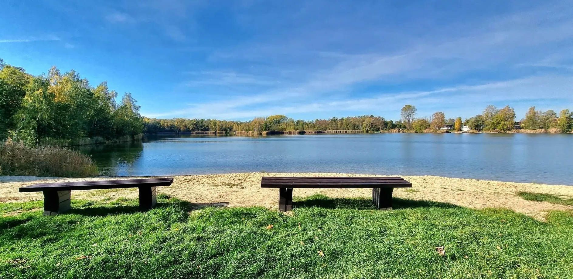
With the PlusBus to wonderful hikes near Leipzig
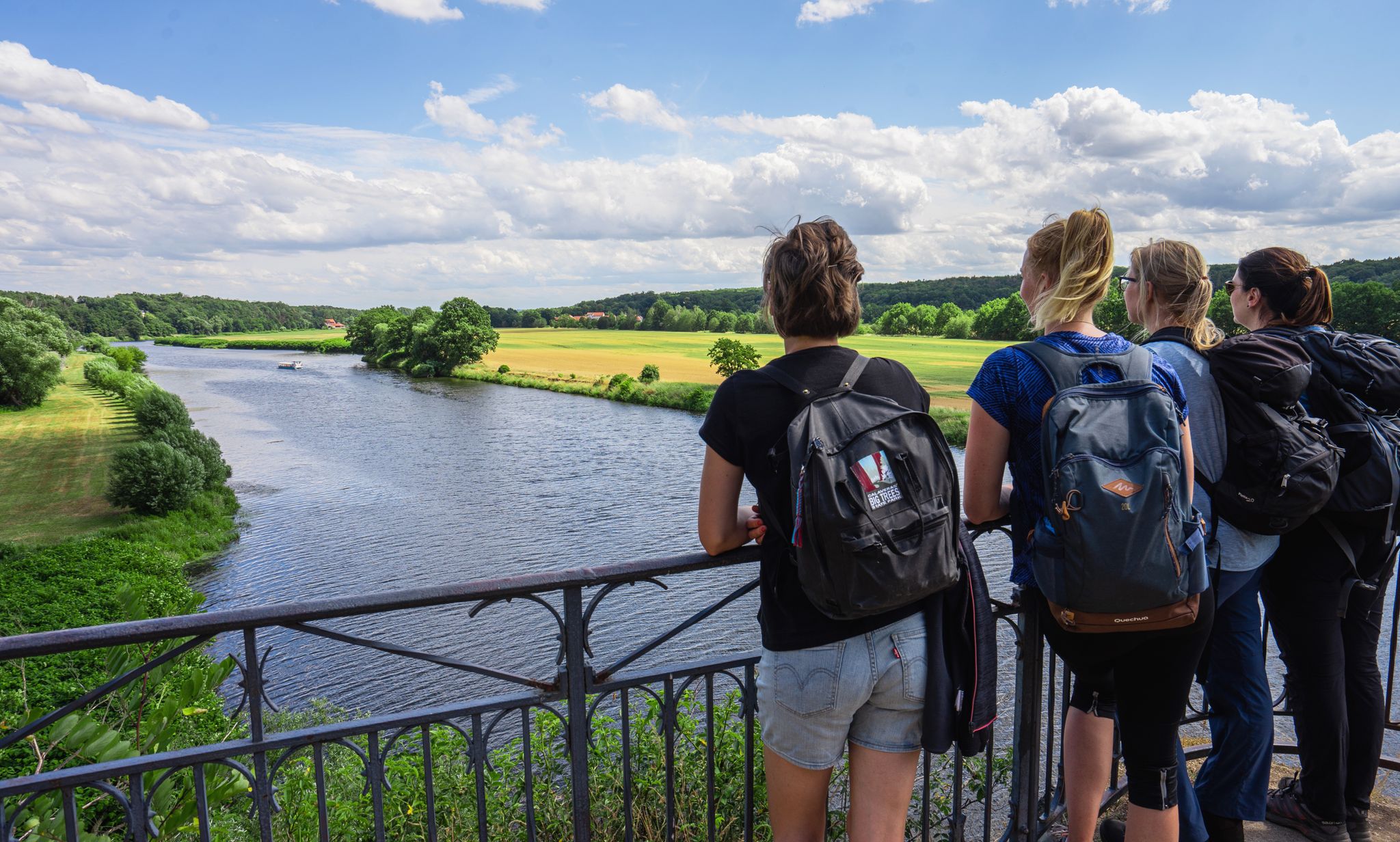
Hiking between big city and nature – urban escapism Leipzig
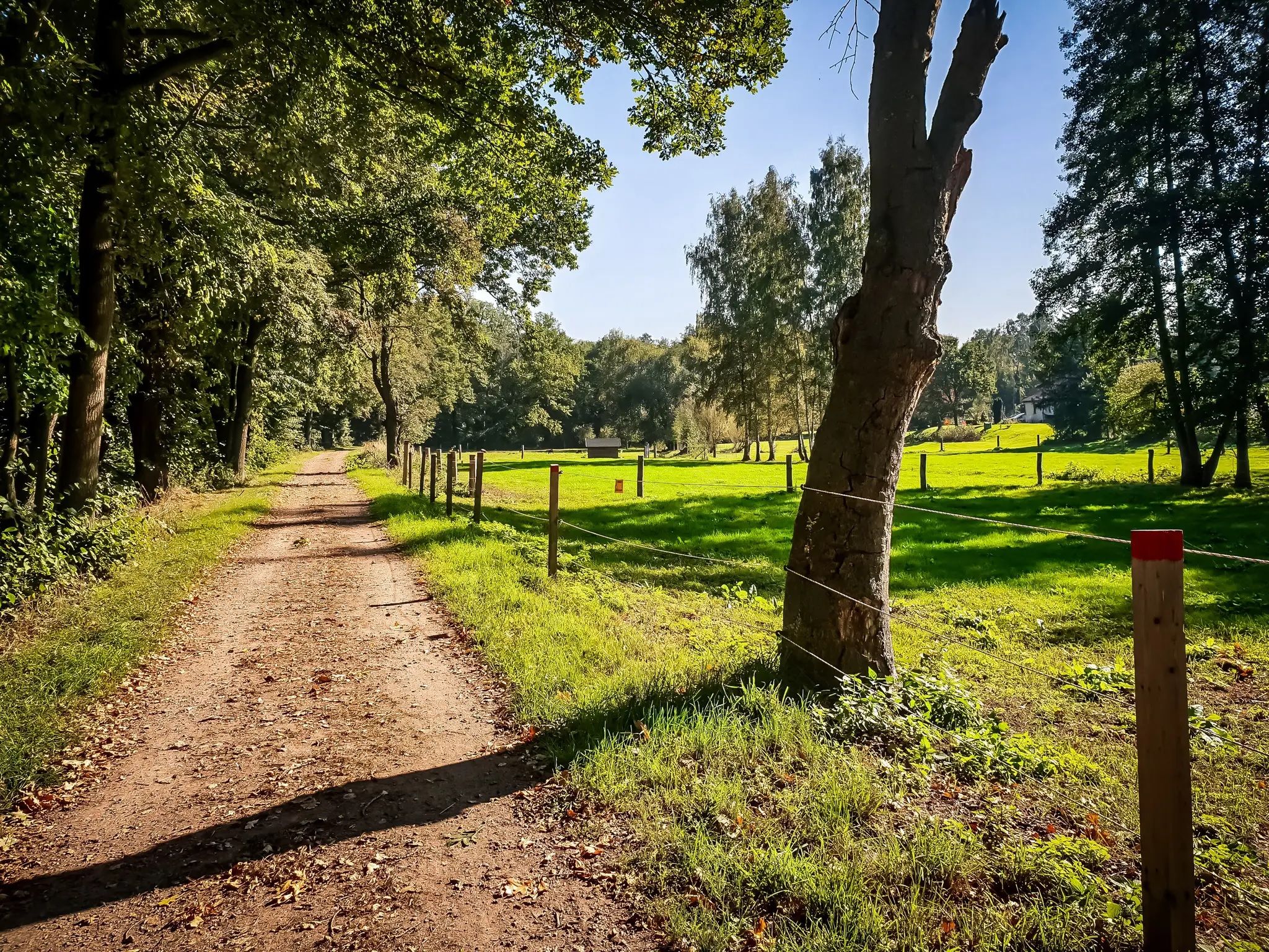
Out and about with the pram – hiking around Leipzig
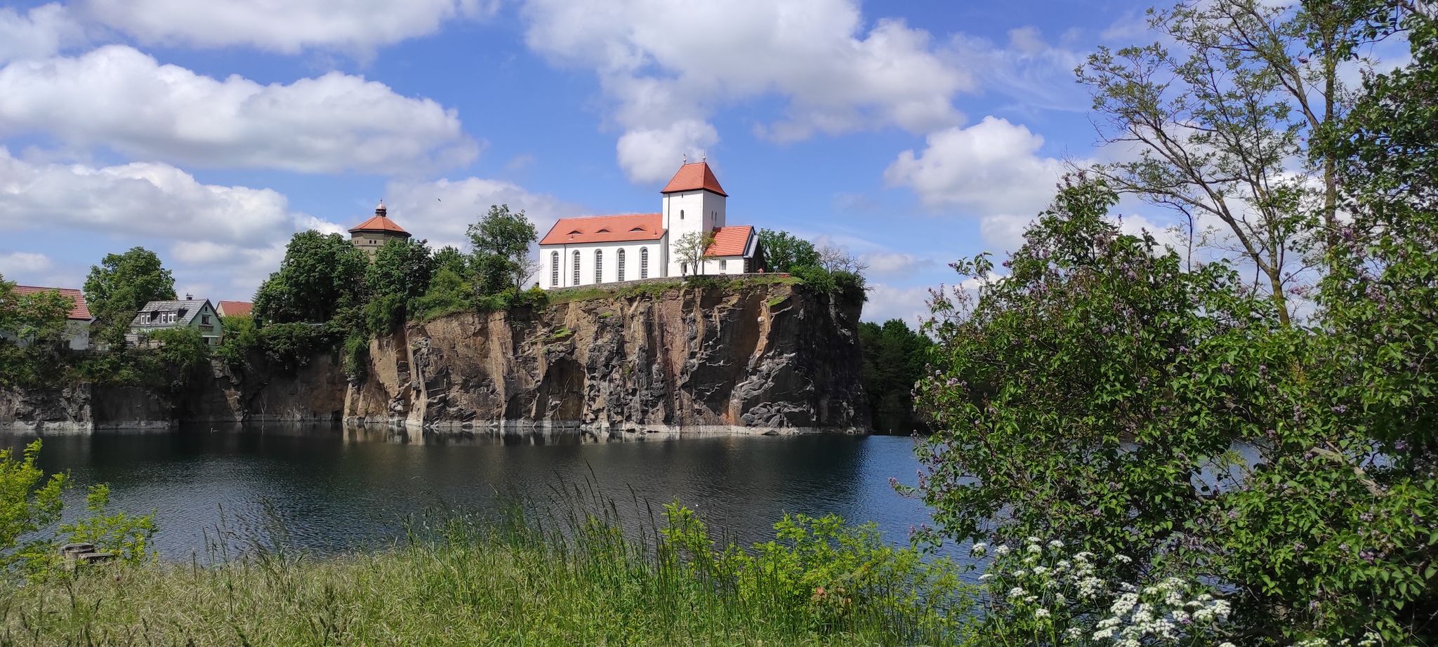
Historical discovery Tours on the MDV in Germany
Hike and enjoy with Germany’s MDV – explore around Leipzig and Halle

Vast forests & pretty lakes – discovering Leipzig’s surroundings on foot

Lake views and fresh air – cycling by the water in the Leipzig region
Experience art, culture and handicrafts – Germany’s Mulde Cycle Path
Cycling to exciting events around Germany’s Leipzig
Other adventures around Grimma


Tips from the Community

Flooding in Grimma: The towns along the Mulde are particularly threatened by flooding. During the August 2002 flood, Grimma was one of the most severely affected municipalities in Saxony, with damage amounting to 250 million euros. The June 2013 flood also left millions in damages. In 2002, the first plans for flood protection, which statistically occurs every 100 years, began in Grimma. In total, the Free State of Saxony and the European Union are investing around 60 million euros in flood protection. The new flood protection facility for Grimma is technically and aesthetically very demanding. The goal was to skillfully combine flood protection, monument preservation, and urban development. To find a suitable construction variant, the town was recreated on a 1:50 scale and the model was flooded to simulate water currents. An underground cutoff wall, reaching twelve meters deep, influences the natural groundwater flow. Eight wells control groundwater communication.
0
0
The places along the Mulde are particularly threatened by floods. During the August 2002 flood, Grimma was one of the most severely affected municipalities in Saxony, with damage totaling 250 million euros. The June 2013 flood also left behind millions in damages. In 2002, the first plans for flood protection, such as those that occur statistically every 100 years, began in Grimma. In total, the Free State of Saxony and the European Union are investing around 60 million euros in flood protection. The new flood protection facility for Grimma is technically and aesthetically very demanding. The goal was to skillfully combine flood protection, monument protection, and urban development. To find a suitable construction variant, the city was rebuilt on a 1:50 scale, and the model was flooded to simulate water currents. An underground sealing wall, reaching twelve meters deep, influences the natural groundwater flow. Eight wells control groundwater communication.
0
0

The view of Grimma and the Mulde River is one of the most impressive landscape panoramas in the Muldental. Especially from the elevated viewpoints, a wide view opens up over the river, the historic old town, and the city's distinctive buildings. The Mulde winds its way through the city here in a wide valley and shapes the historic cityscape. Atmospheric views arise particularly in the morning and evening hours, when the light reflects in the river and the old town glows in warm colors. This makes Grimma one of Saxony's most charming riverside towns and a popular destination for walkers, hikers, and photographers.
4
0
The Altstadtblick (Old Town View) is one of the most beautiful panoramas in Grimma. The view from the Köhleraussicht (Charcoal Burner's View) in the city forest is particularly impressive. From there, your gaze sweeps across the Mulde river to the historic old town with its red roofs, the Renaissance town hall, the towers of the Frauenkirche (Church of Our Lady) and Grimma Castle. Those who want to explore Grimma on foot can choose the approximately two-hour tour "Grimma von oben" (Grimma from Above). It connects the most beautiful viewpoints, including Köhleraussicht, Hängebrücke (Suspension Bridge) and Tempelberg (Temple Mountain), with impressive views of the old town and the Mulde river.
4
0
Gattersburg Castle in Grimma is one of the most romantic structures in the city. Strictly speaking, it is not a medieval castle, but a historicist villa in the Neo-Renaissance style with an artificial castle ruin, which is commonly referred to today as "Gattersburg Castle" due to its fairytale appearance. It rises on a rock directly above the Mulde river, immediately next to the historic suspension bridge. The current building was constructed in the 1880s on behalf of the Grimma paper manufacturer Max Schroeder. It replaced an older country house that had been built at the end of the 18th century by Johann Christian Gattert – the name "Gattersburg" is also derived from him. Today, the Gattersburg is used as a hotel and is one of Grimma's most popular photo opportunities. Together with the suspension bridge and the Mulde river, it forms one of the city's most famous panoramas.
4
0
The view of the suspension bridge in Grimma is one of the city's most famous photo motifs. The suspension bridge, built in 1924, spans the Mulde river for a length of 80 meters and connects the old town with the city forest. From the bridge, you can enjoy a wide view of the Mulde, the historic city silhouette, and the Gattersburg located above. Schloss Püchau, on the other hand, is located about 10 kilometers northwest of Grimma in the village of Püchau, directly on the Mulde river. The historic castle with its park is situated in a quiet river landscape and also offers beautiful views of the Mulde valley. However, it is not visible from the Grimma suspension bridge, as the two locations are several kilometers apart.
4
0
Grimma's marketplace is the historical center of the over 800-year-old old town. It is framed by lovingly restored burgher houses and is considered one of the most beautiful squares in Saxony. Since the Middle Ages, it has been the city's trading and meeting point; even today, weekly markets and fresh produce markets as well as numerous events are regularly held here. The Old Town Hall on the marketplace is Grimma's best-known landmark. Its origins date back to the 15th century. After a town fire, the building was redesigned in the Renaissance style. Particularly striking are: The artfully curved Renaissance gable, The representative external staircase, The richly structured facade with pilasters. The town hall was the seat of the city administration for almost 600 years. Since 1893, the administration has been located in the opposite town house. After extensive renovations, the historic building now houses, among other things, the town hall hall and an art gallery; guided tours can be booked through the tourist information office.
4
0

The old town in Grimma is architecturally very beautiful. Unfortunately, many shops are empty.
0
0
Frequently Asked Questions
How many easy hiking trails are available around Grimma?
Grimma offers a wide selection of easy hiking trails, with over 280 routes specifically categorized as easy. The region features a network of well-developed paths suitable for various fitness levels, focusing on accessible and enjoyable routes.
What kind of scenery can I expect on easy hikes in Grimma?
Easy hikes in Grimma primarily traverse the picturesque Mulde River valley, offering a fascinating interplay of narrow and wide sections, floodplain environments, and wetlands rich in flora and fauna. You'll also encounter unique geological formations within the Geopark Porphyrland, including striking porphyry hills, and extensive forests like the Döbener Wald and Thümmlitzwald.
Are there easy circular hiking routes in Grimma?
Yes, many easy routes in Grimma are designed as loops. For example, the popular Grimma Suspension Bridge – Mulde Weir, Grimma loop from Grimma is an easy 4.4 km circular trail. Another favorite is the Grimma Suspension Bridge – Pöppelmann Bridge, Grimma loop from Grimma, which is a 5.3 km easy path.
Are the easy hiking trails in Grimma suitable for families with children?
Absolutely. Grimma's easy hiking trails are generally well-maintained and accessible, making them ideal for families. Many paths lead through forests and along the Mulde River, providing engaging natural environments for children to explore. The area's focus on easy routes ensures a pleasant experience for all ages.
Can I bring my dog on the easy hiking trails in Grimma?
Yes, many of the easy hiking trails in Grimma are dog-friendly. The region's diverse landscapes, including forests and river paths, offer great opportunities for walks with your canine companion. It's always recommended to keep dogs on a leash, especially in nature reserves or areas with wildlife, and to respect local regulations.
What are some interesting landmarks or attractions I can see on easy hikes around Grimma?
Many easy hikes in Grimma pass by significant landmarks. You can walk across the Grimma Suspension Bridge, Saxony's longest rope suspension bridge. Other routes might lead you to the historic Nimbschen monastery ruins or the charming village of Höfgen, which features a Ship Mill Museum. The Höfgen Ship Mill Museum – Weg der Steine loop from Grimma is an easy trail that combines cultural and geological sights.
Is there parking available near the easy hiking trailheads in Grimma?
Yes, parking is generally available near popular trailheads and starting points for easy hikes in Grimma, especially in and around the town center and at key attractions. For specific routes, it's advisable to check the route details on komoot for designated parking areas.
How can I reach the easy hiking trails in Grimma using public transport?
Grimma is well-connected by public transport, making it possible to access many trailheads without a car. The town's central location in the Mulde valley means that local buses and regional trains can bring you close to various starting points for easy hikes. Check local transport schedules for the most convenient options to your chosen trail.
What do other hikers say about the easy trails in Grimma?
The easy hiking trails in Grimma are highly regarded by the komoot community, with an average rating of 4.6 stars from over 2,000 reviews. Hikers often praise the well-maintained paths, the beautiful river views, and the peaceful atmosphere of the forests and natural landscapes.
Are there any easy hikes that feature geological highlights like the Geopark Porphyrland?
Yes, Grimma is situated within the Geopark Porphyrland, and some easy hikes allow you to experience its unique geological history. The 'Path of Stones' (Weg der Steine) is a thematic route where you can encounter creative stone arrangements and volcanic outcrops. The Höfgen Ship Mill Museum – Weg der Steine loop from Grimma is an easy option to explore this feature.
What is the best time of year for easy hiking in Grimma?
The Mulde valley and surrounding areas are beautiful year-round for easy hiking. Spring brings blooming flora, summer offers lush greenery, and autumn showcases vibrant fall colors. Even in winter, the cleared paths can provide serene, crisp walks. The best time depends on your preference for weather and scenery.
Are there any easy hikes that pass by historic sites like monasteries or castles?
Yes, Grimma's rich history is woven into its landscape. Easy hikes can lead you past the impressive Nimbschen monastery ruins, a significant historical attraction. Sections of the Lutherweg Sachsen, a circular hiking path connecting Reformation sites, also pass through Grimma, allowing you to explore medieval architecture and historical churches.
Can I find easy trails that offer views of the Mulde River?
The Mulde River is a central feature of Grimma's landscape, and many easy trails run directly alongside it or offer scenic views. Routes like the Cliffs on the Mulde River – Höfgen Water Mill loop from Kaditzsch provide excellent opportunities to enjoy the river's beauty and its surrounding natural environment.
Are there any easy trails that include a visit to a charming village or museum?
Yes, the certified holiday village of Höfgen is a charming destination accessible via easy hikes. It features the Ship Mill Museum and beautifully designed gardens. The Höfgen Ship Mill Museum – Weg der Steine loop from Grimma is an easy route that allows you to visit this picturesque village and its attractions.
Most popular routes around Grimma
Most popular attractions around Grimma

Get inspired with the komoot mobile app


Explore more
Browse the best Hikes in other regions.
