Easy hikes and walks in Landkreis Neustadt an der Waldnaab
4.6
(10521)
40,614
hikers
3,556
hikes
Easy hiking trails in Landkreis Neustadt an der Waldnaab traverse a diverse landscape of forests, rolling hills, rivers, and meadows within Bavaria's Upper Palatinate region. The area is characterized by notable natural features such as the picturesque Waldnaabtal, known for its unique geological formations and rock structures. Hikers can explore parts of the Oberpfälzer Wald nature park, which offers mystic forest landscapes and summit views. The region also features the Naturpark Steinwald, with its distinctive rock formations and historical trails.
…Last updated: October 13, 2026
4.8
(266)
814
hikers
6.60km
01:48
100m
100m
Easy hike. Great for any fitness level. Easily-accessible paths. Suitable for all skill levels.
4.8
(162)
403
hikers
6.10km
01:34
30m
30m
Easy hike. Great for any fitness level. Easily-accessible paths. Suitable for all skill levels.

4.7
(93)
253
hikers
8.26km
01:49
140m
140m
Easy hike. Great for any fitness level. Easily-accessible paths. Suitable for all skill levels.
4.9
(200)
572
hikers
5.64km
01:37
140m
140m
Easy hike. Great for any fitness level. Easily-accessible paths. Suitable for all skill levels.
4.8
(117)
461
hikers
Easy hike. Great for any fitness level. Easily-accessible paths. Suitable for all skill levels.
4.5
(62)
187
hikers
5.74km
01:35
100m
100m
Easy hike. Great for any fitness level. Easily-accessible paths. Suitable for all skill levels.
4.6
(60)
239
hikers
Easy hike. Great for any fitness level. Easily-accessible paths. Suitable for all skill levels.
4.6
(45)
281
hikers
6.62km
01:47
90m
90m
Easy hike. Great for any fitness level. Easily-accessible paths. Suitable for all skill levels.
4.8
(62)
176
hikers
4.92km
01:23
100m
100m
Easy hike. Great for any fitness level. Easily-accessible paths. Suitable for all skill levels.
4.6
(43)
161
hikers
Easy hike. Great for any fitness level. Easily-accessible paths. Suitable for all skill levels.
Get access to more routes and recommendations from other explorers.
Already have an account?
Our route recommendations are based on thousands of hikes, rides, and runs completed by other people on komoot.
Start today with a free account
Your next adventure awaits.
Popular around Landkreis Neustadt an der Waldnaab

Easy hikes in Naturpark Nördlicher Oberpfälzer Wald
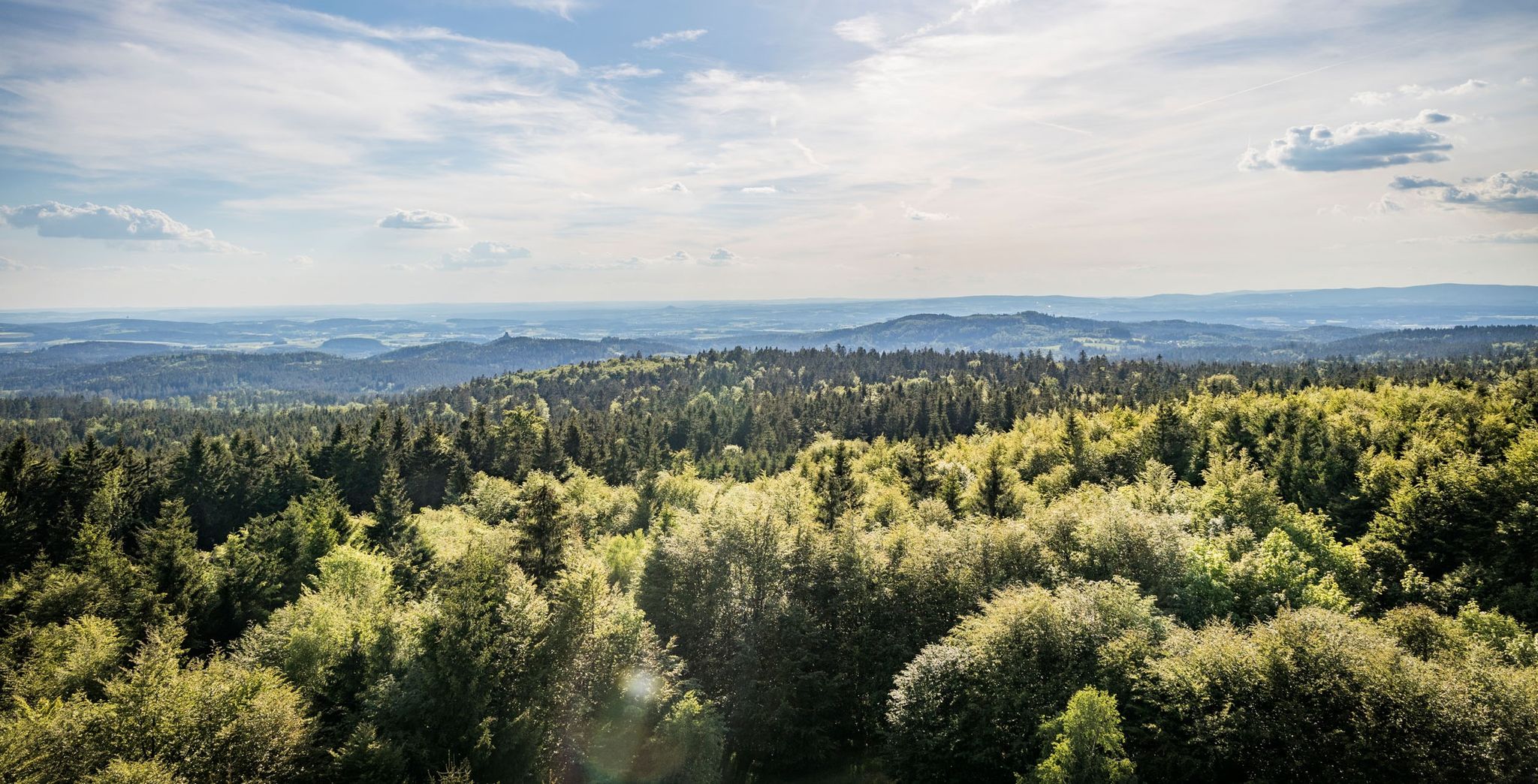
Nurtschweg – Hiking along the German-Czech border

The Goldsteig – 38 stages between Upper Palatinate and Passau

Goldsteig — The best routes for long distance hiking in Eastern Bavaria
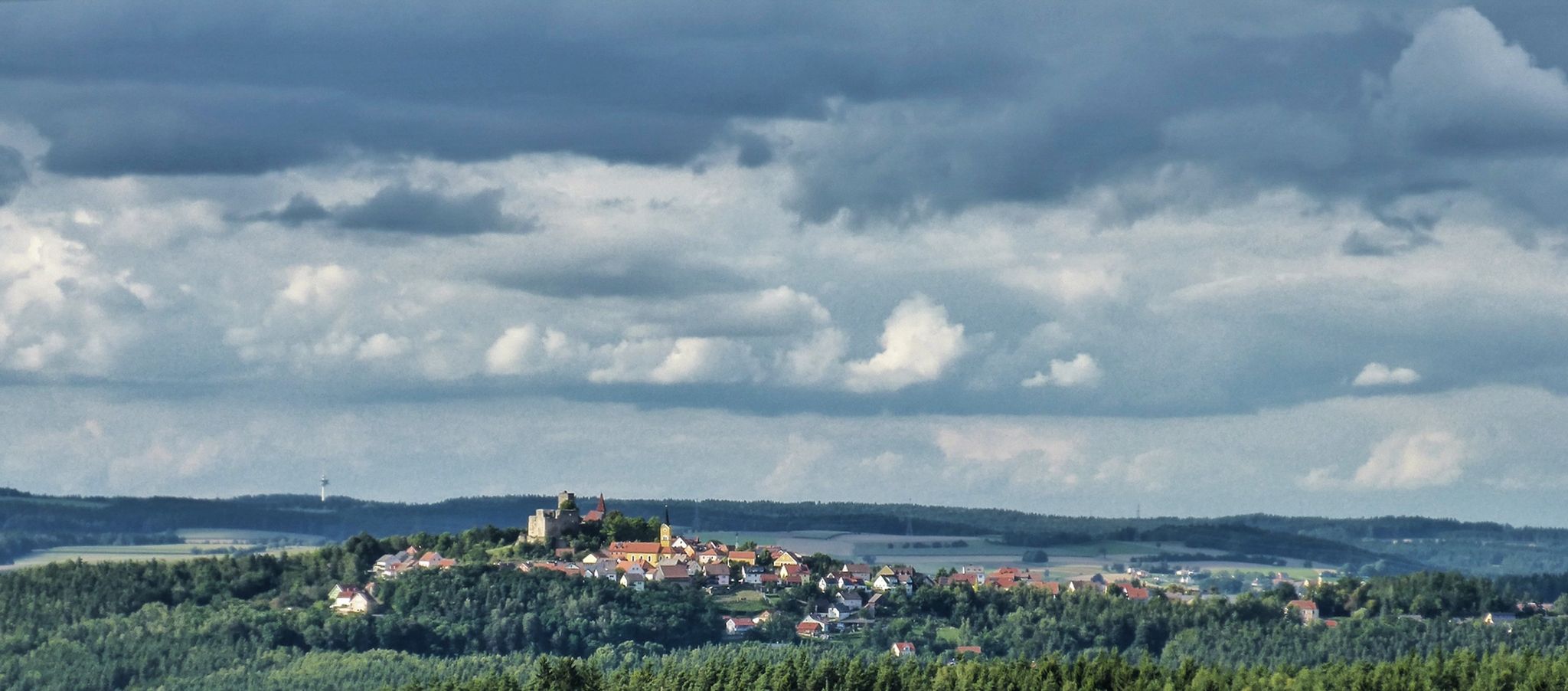
The Upper Palatinate Castle Trail — 9 days in picturesque northern Bavaria

The National Natural Landscapes in Bavaria
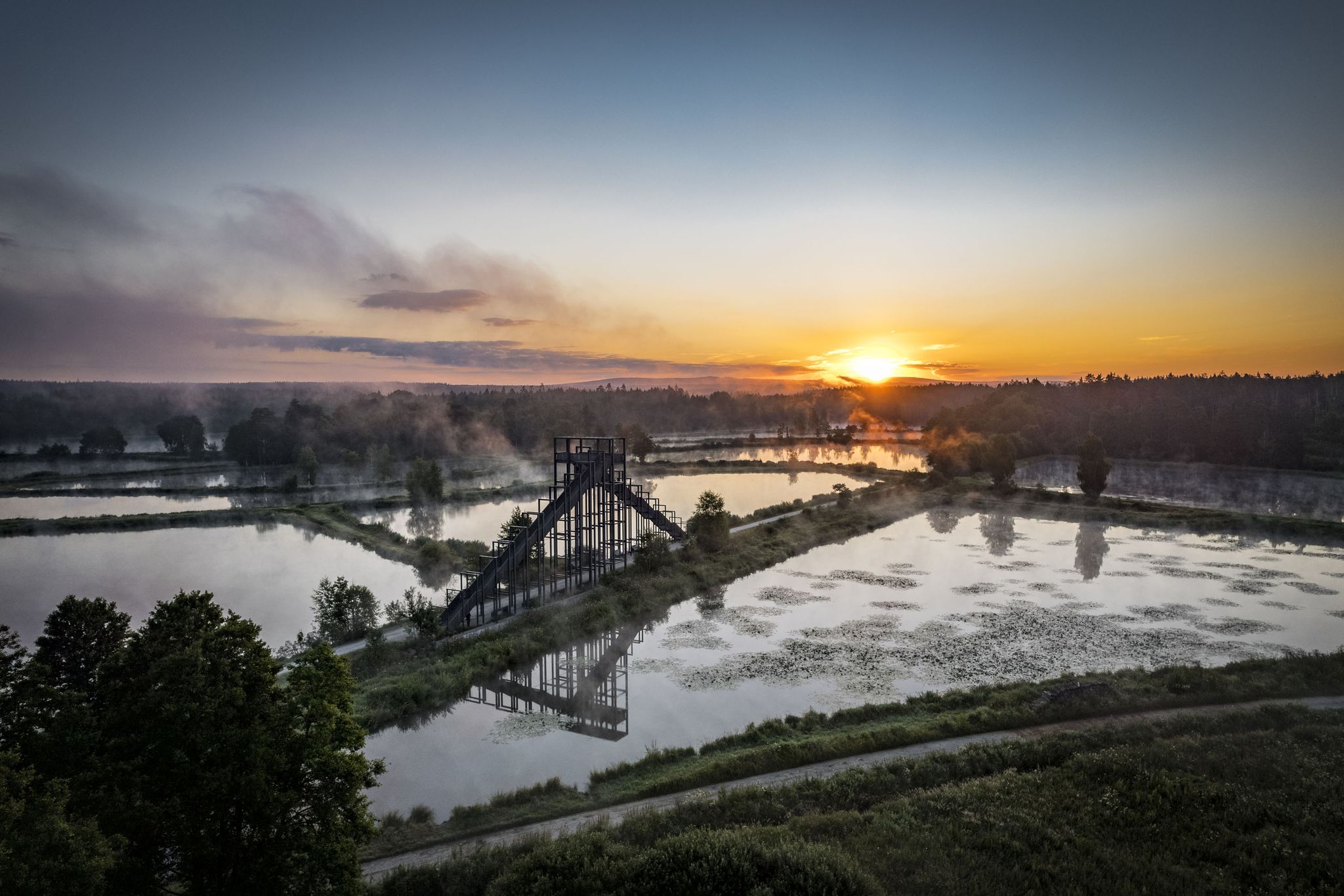
How refreshing! Trails by the water in the Upper Palatinate Forest

#GoFurther – discover the views of Germany!
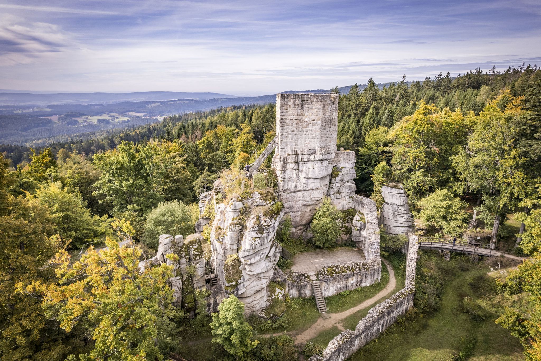
On the 'Kultouren' through the Upper Palatine Forest
Hike the Glass Cutter Trail through the Upper Palatinate Forest
Other adventures in Landkreis Neustadt an der Waldnaab


Tips from the Community

Burgstall Rauhenkulm There are no reliable sources regarding the origin of the high medieval castle. Although the deed of foundation of the Benedictine monastery Michelfeld from 1119 states that Bucco de Culmen of Leuchtenberg had a residence on one of the two Kulms. He would thus be the first scientifically documented lord of the castle. However, it is unclear whether Rauhe Kulm or Kleine Kulm is meant. It is conceivable, but unlikely, that it was a building in the village of Kulmain. Excavations have brought shards, arrowheads, crosses, and coins from this period to light. According to Losert, the construction of the Rauher Kulm rampart was part of Emperor Otto I the Great's strategy to contain the impending danger from the Hungarians. Sandstone, timber framing, and bricks were used in the construction of the castle around 950. In addition to military use, the castle was also inhabited by women and children, as evidenced by various finds, including several spindle whorls, a weaving sword, and a large iron knife. Burgrave Friedrich III of Nuremberg acquired the castle, including the associated places, from the Landgraves of Leuchtenberg in 1281. The former tower was part of the margravial signaling system. During the Second Margravial War under Margrave Albrecht Alcibiades, the castle, as well as the Schlechtenkulm castle on Kleine Kulm, was destroyed in 1554. Before the destruction, both castles were besieged for about a year by troops from the imperial cities of Nuremberg, Bamberg, Würzburg, and Bavaria under the command of the electoral district administrator Hans Umseher von Waldeck, and the inhabitants were starved. The fortress commander von Heydenab surrendered the fortress on Rauhen Kulm on June 28, 1554. Afterwards, it was blown up with screws, the triple walls were razed and destroyed. Stones from the medieval ramparts of both castle sites were later used in part to reinforce the city walls of Neustadt. Today, only traces of the terrain are visible of the Burgstall Rauhenkulm. Remains of the surrounding rampart and the location of the tower in close proximity to the current observation tower are recognizable. The cartographer Johann Christoph Stierlein created the first very accurate topographical map of the mountain with the ruin. Source: www.wikipedia.de
5
0
There are no reliable sources on the origin of the high medieval castle. Although the foundation charter of the Benedictine monastery of Michelfeld from 1119 states that Bucco de Culmen of Leuchtenberg had a residence on one of the two Kulms. He would thus be the first scientifically documented castle lord. However, it is unclear whether the Rauhe Kulm or the Kleine Kulm is meant. It is conceivable, but unlikely, that it was a building in the village of Kulmain. Excavations have brought to light shards, arrowheads, crosses, and coins from this period. According to Losert, the construction of the Rauher Kulm fortification was part of the strategy of Emperor Otto I the Great, who wanted to contain the approaching danger from the Hungarians. Sandstone, half-timbering, and bricks were used in the construction of the castle around 950. In addition to military use, the castle was also inhabited by women and children, as evidenced by various finds, including several spindle whorls, a small weaving sword, and a large iron knife. Burgrave Frederick III of Nuremberg acquired the castle, including the associated places, from the Landgraves of Leuchtenberg in 1281. The former tower was part of the margravial signaling system. During the Second Margraves' War under Margrave Albrecht Alcibiades, the castle, as well as the Schlechtenkulm castle on the Kleine Kulm, was destroyed in 1554. Before the destruction, both castles were besieged for about a year by troops from the imperial cities of Nuremberg, Bamberg, Würzburg, and Bavaria, under the leadership of the electoral landrichter Hans Umseher von Waldeck, and the inhabitants were starved. The fortress commander Heydenab surrendered the fortress on the Rauhen Kulm on June 28, 1554. Subsequently, it was blown up with screws, the triple walls were razed and destroyed. For the reinforcement of the city walls of Neustadt, stones from the medieval ramparts of both castle sites were later used in part. Today, only traces of the terrain are visible from the Rauhenkulm castle site. Remains of the surrounding wall and the location of the tower are recognizable in the immediate vicinity of the current observation tower. The cartographer Johann Christoph Stierlein created the first very accurate topographical map of the mountain with the ruin. Source: www.wikipedia.de
5
0

Wooden birdwatching hut overlooking the water surface. From up here you can observe the wildlife. Bat boxes have been attached to the outside of the hut by the local youth forestry group. Useful souvenir: binoculars. 🦅🦆🦢
0
0
Wooden birdwatching hut overlooking the Obersee. Here you can discover the pond with its animals and plants or take a short break. Useful to bring: binoculars and bird identification book/app. 🦆🦅🦢
0
0
Directly at the parking lot, there is a stamp station from Bayern Entdecker. In a foldable wooden box, you will find stamp cards, a stamp pad, and the stamp. Nice idea for hikers and nature explorers. Whoever collects 5 different stamps and sends in the pass can participate in a prize draw and win a vacation.
0
0
Boathouses at Rußweiher are privately owned - they can be admired by everyone when boating, walking or cycling.
0
0
Restaurant & Infocenter directly at the campsite by the small Rußweiher. The restaurant offers a beautiful view of the swimming lake when the weather is nice. It is particularly beautiful on the terrace. Good dishes are available here at fair prices. Below the restaurant, there is a well-maintained playground.
0
0
The small Rußweiher is Bavaria's largest moorland lido. Here everyone will find the right activity, from swimming, pedal boating, Stand Up paddling, playing volleyball, fishing to ice stock sport and ice skating in winter. In summer, a trampoline is also available. Various events also take place here all year round. The prices for admission and boat rental are fair.
0
0
Frequently Asked Questions
What kind of terrain can I expect on easy hiking trails in Landkreis Neustadt an der Waldnaab?
Easy hiking trails in Landkreis Neustadt an der Waldnaab generally feature a mix of forests, rolling hills, river valleys, and meadows. While the region is known for its unique rock formations, such as those in the Waldnaabtal and Naturpark Steinwald, easy routes are designed to be accessible with minimal elevation gain, making them suitable for leisurely walks.
Are there family-friendly easy hikes in Landkreis Neustadt an der Waldnaab?
Yes, the region is well-suited for families. Many easy trails are designed to be family-friendly, offering engaging experiences through nature education or folklore themes. For example, the Long Waldnaabtal riverside loop is a popular choice that follows the scenic Waldnaab River.
Can I bring my dog on the easy hiking trails?
Most easy hiking trails in Landkreis Neustadt an der Waldnaab are dog-friendly, allowing you to enjoy the natural beauty with your canine companion. Always keep your dog on a leash, especially in nature reserves or near wildlife, and remember to clean up after them. Specific regulations might apply in certain protected areas, so it's always good to check local signage.
What natural attractions or viewpoints can I see on easy hikes?
The region boasts several notable natural features and viewpoints. You can explore the picturesque Waldnaabtal with its unique geological formations and rock structures. The Experience the Rußweiher nature reserve trail offers views of the tranquil Rußweiher. For expansive views, consider a hike near the striking basalt cone of Rauher Kulm, or visit the Stückberg Observation Tower.
Are there any historical sites or landmarks accessible on easy trails?
Yes, some easy trails lead to historical sites. For instance, the Leuchtenberg Castle Ruins – View of the Wolfslohklamm loop from Leuchtenberg offers a glimpse into the region's past. The Naturpark Steinwald also features trails that delve into the area's history, and you can find sites like the Haselstein castle site.
What is the best time of year for easy hiking in Landkreis Neustadt an der Waldnaab?
The region is beautiful year-round for easy hikes. Spring brings lush greenery and blooming wildflowers, while autumn offers vibrant foliage. Summer is ideal for enjoying the river valleys and lakes, and even winter can be magical for a crisp walk, though some paths might be icy. Always check local weather conditions before heading out.
Are there circular routes available for easy hikes?
Yes, many easy trails in Landkreis Neustadt an der Waldnaab are designed as circular routes, allowing you to start and end at the same point. Examples include the popular Long Waldnaabtal riverside loop and the Rauher Kulm Lookout Tower loop from Neustadt am Kulm.
Where can I find parking for easy hiking trails?
Parking is generally available at the starting points of many popular hiking trails and near key attractions. Specific parking information is often provided on individual route descriptions on komoot. Look for designated hiking car parks or roadside parking areas near trailheads.
Are there refreshment stops or cafes along the easy hiking routes?
While specific cafes or inns are not listed for every easy route, the region has charming villages and towns where you can find refreshment stops. Many trails pass through or near these areas, offering opportunities for a break or a meal. It's always a good idea to carry water and snacks, especially on longer routes.
How long do easy hikes typically take in this region?
Easy hikes in Landkreis Neustadt an der Waldnaab vary in length and duration. For example, the Long Waldnaabtal riverside loop is about 6.6 km and takes approximately 1 hour 48 minutes, while The boulder – finding peace trails from Floß is 8.3 km and takes around 1 hour 49 minutes. Many easy routes are designed for a pleasant half-day or full-day outing.
What do other hikers enjoy most about easy hiking in Landkreis Neustadt an der Waldnaab?
The area is highly rated by the komoot community, with an average score of 4.6 stars from over 9,400 reviews. Hikers often praise the diverse and picturesque landscapes, the tranquility of the river valleys like the Waldnaabtal, and the unique geological formations. The well-maintained paths and variety of family-friendly options are also frequently highlighted.
Are there any easy hikes that feature water bodies like lakes or rivers?
Absolutely. The region is characterized by its invigorating water features. The Long Waldnaabtal riverside loop follows the scenic Waldnaab River. Another excellent option is the Experience the Rußweiher nature reserve, which offers views of the Rußweiher lake. You can also explore the area around Dießfurt Recreation Lake for a pleasant walk by the water.
Most popular routes in Landkreis Neustadt an der Waldnaab
Most popular attractions in Landkreis Neustadt an der Waldnaab

Get inspired with the komoot mobile app


Didn’t find what you were looking for?
Check out more Hikes throughout Landkreis Neustadt an der Waldnaab below and find the perfect route in your destination.
Explore more
Browse the best Hikes in other regions.
