Easy hikes and walks in Schaffhausen
4.5
(20047)
87,881
hikers
676
hikes
Easy hiking trails in Schaffhausen traverse a diverse landscape characterized by the powerful Rhine Falls, rolling hills, lush forests, and expansive vineyards. The region, part of the Schaffhausen Nature Park, features the Randen hills and the Klettgau region, offering varied terrain for outdoor exploration. These trails provide access to riverine paths, elevated viewpoints, and tranquil rural settings.
Best easy hiking trails in Schaffhausen
- The most popular easy hiking route is Uferweg Stein am Rhein – SchweizMobil 905, a 4.6…
Last updated: October 4, 2026
4.7
(112)
460
hikers
7.45km
01:56
50m
50m
Easy hike. Great for any fitness level. Easily-accessible paths. Suitable for all skill levels.
5.0
(1)
10
hikers
5.20km
01:24
60m
60m
Easy hike. Great for any fitness level. Easily-accessible paths. Suitable for all skill levels.

4.9
(44)
628
hikers
Easy hike. Great for any fitness level. Easily-accessible paths. Suitable for all skill levels.
4.9
(31)
134
hikers
Easy hike. Great for any fitness level. Easily-accessible paths. Suitable for all skill levels.
4.7
(27)
251
hikers
4.21km
01:12
100m
100m
Easy hike. Great for any fitness level. Easily-accessible paths. Suitable for all skill levels.
4.6
(20)
79
hikers
Easy hike. Great for any fitness level. Easily-accessible paths. Suitable for all skill levels.
4.7
(44)
165
hikers
Easy hike. Great for any fitness level. Easily-accessible paths. Suitable for all skill levels.
4.6
(23)
102
hikers
Easy hike. Great for any fitness level. Easily-accessible paths. Suitable for all skill levels.
4.9
(14)
148
hikers
4.20km
01:08
60m
60m
Easy hike. Great for any fitness level. Easily-accessible paths. Suitable for all skill levels.
4.7
(7)
139
hikers
Easy hike. Great for any fitness level. Easily-accessible paths. Suitable for all skill levels.
Get access to more routes and recommendations from other explorers.
Already have an account?
Our route recommendations are based on thousands of hikes, rides, and runs completed by other people on komoot.
Start today with a free account
Your next adventure awaits.
Popular around Schaffhausen
Easy hikes around Regionaler Naturpark Schaffhausen

Easy hikes in Unterklettgau
Easy hikes around Schleitheim

Easy hikes in Oberklettgau
Hike the WasserWeltenSteig – Waterfalls, lakes and rivers of the Black Forest
Woodland, water and far-reaching views – start of season hiking hits
Klettgau-Rhein-Weg – hiking at the feet of the Alps
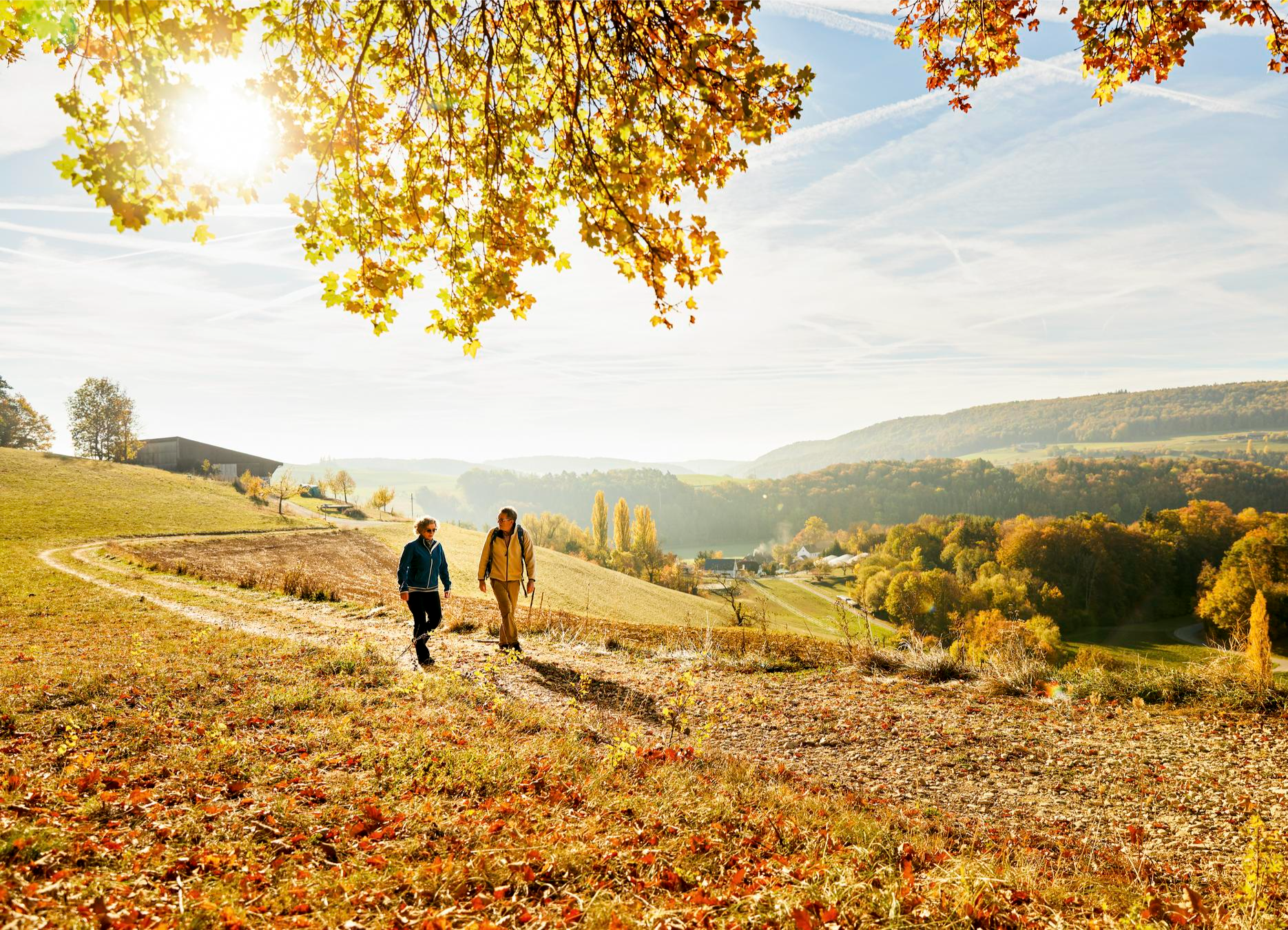
Rhine, hills and vines – autumn hiking tips in Schaffhauserland
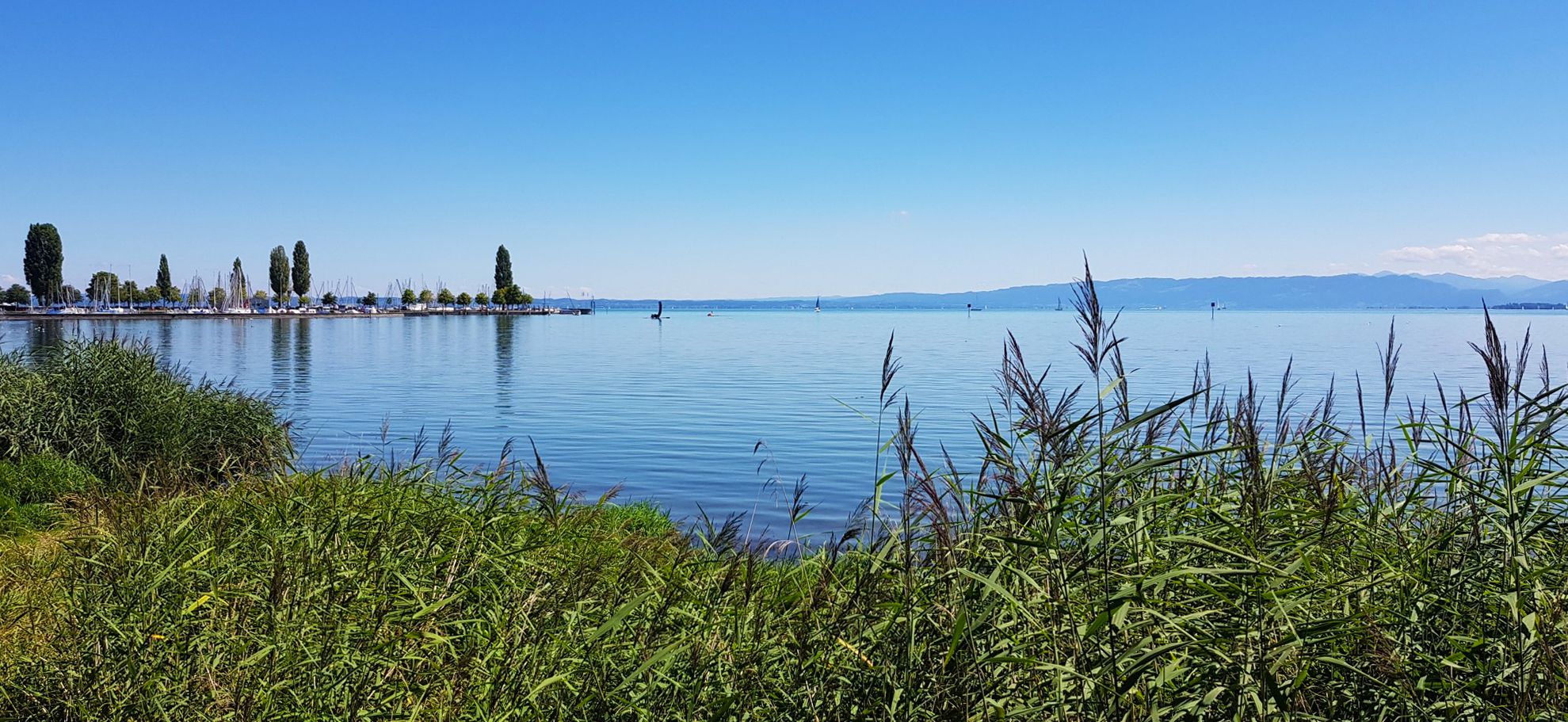
Picturesque landscapes in three countries – Lake Constance circular route

Every cycling trip is a little holiday – bike to work Challenge 2026
Other adventures in Schaffhausen


Tips from the Community

Great path right on the water
0
0

During a bike tour, the city is worth more than a stop. Buildings old and well-maintained.
0
0

Nordufer (Schlössli Wörth / Neuhausen): Use the S-Bahn line S9 to the Neuhausen Rheinfall station. An elevator will take you from the platform down to the free-access Rhine Falls basin.
0
0
Getting there by trainThe Rhine Falls are excellently connected to the Swiss rail network. There are two train stations directly at the waterfall: South bank (Schloss Laufen): Use the S-Bahn line S33 (from the direction of Winterthur/Zurich or Schaffhausen) to the Schloss Laufen am Rheinfall station. From there, a short walk or a glass panoramic elevator leads directly to the castle and the platforms.
0
0
Location: The excursion destination is located in the canton of Schaffhausen near the German border and can be reached in a short time from Lake Constance.
0
0
Local activities: Visitors can admire the waterfall from viewing platforms, travel close to the rocks on excursion boats, or even climb onto the middle rock.
0
0
Size and power: With a width of around 150 meters and a height of 23 meters, the Rhine Falls are the largest and most water-rich waterfall in all of Europe.
0
0
Frequently Asked Questions
How many easy hiking trails are available in Schaffhausen?
Schaffhausen offers a wide selection of easy hiking trails, with over 380 routes suitable for various fitness levels. These trails traverse diverse landscapes, from riverside paths to vineyard strolls.
What makes Schaffhausen a good region for easy hiking?
The region is characterized by its diverse and accessible natural beauty, including the powerful Rhine Falls, rolling hills, lush forests, and extensive vineyards. The well-maintained trail networks provide a variety of experiences for those seeking leisurely walks.
Are there easy hikes that feature the Rhine Falls?
Yes, several easy routes allow you to experience Europe's largest waterfall. For instance, the Rhine Falls – Rhine Falls Viewing Platform loop from Neuhausen is a popular 6 km trail that takes you directly through the Rhine Falls area. Another option is the Rhine Falls – View of the Rhine Falls loop from Neuhausen.
Can I find easy hikes through vineyards in Schaffhausen?
Absolutely. The Klettgau region and the 'Blauburgunderland' are known for their vineyards. The Genussweg zwischen Wilchingen und Osterfingen is an easy 5.2 km path that winds through vineyards and rural landscapes, connecting charming villages.
Are there any easy circular routes in Schaffhausen?
Yes, many easy trails in Schaffhausen are circular, offering convenient starting and ending points. The Rhine bank Stein am Rhein – Rhine Bridge Stein am Rhein loop from Stein am Rhein is a good example, providing a pleasant 3.9 km walk along the river.
What natural features or landmarks can I expect to see on easy hikes?
Beyond the Rhine Falls, you can encounter diverse landscapes. The Randen hills offer panoramic views, and the Klettgau region features rolling hills and vineyards. You might also discover interesting geological formations like the Five-Minute Cave or the Kesslerloch Cave.
Are easy hiking trails in Schaffhausen suitable for families with children?
Many easy trails are well-suited for families. The region offers paths with minimal elevation gain and interesting sights. The Beaver Trail (WWF Biberpfad) between Rüdlingen and Teufen, for example, is a family-friendly 4 km path along the Rhine with information boards and quiz questions.
Are there dog-friendly options for easy hikes in Schaffhausen?
Yes, most easy hiking trails in Schaffhausen are dog-friendly, provided dogs are kept on a leash where required and owners clean up after them. The varied terrain, from riverside paths to forest trails, offers plenty of opportunities for walks with your canine companion.
How can I reach the starting points of easy hikes using public transport?
Schaffhausen has a well-connected public transport network. Many trailheads, especially those near the city of Schaffhausen or towns like Stein am Rhein, are accessible by train or bus. It's advisable to check local transport schedules for specific route starting points.
What is the best time of year for easy hikes in Schaffhausen?
Spring and autumn are particularly pleasant for easy hikes, with mild temperatures and beautiful scenery as nature awakens or changes colors. Summer offers lush green landscapes, while winter can provide unique, quiet experiences, especially on cleared paths.
How long do easy hikes in Schaffhausen typically take?
Easy hikes in Schaffhausen vary in length, but many can be completed within 1 to 2.5 hours. For example, the Uferweg Stein am Rhein – SchweizMobil 905 is about 7.5 km and takes roughly 2 hours, while the Rhine bank Stein am Rhein – Town Hall of Stein am Rhein loop from Stein am Rhein is shorter, around 2.2 km, taking less than an hour.
What do other hikers say about the easy trails in Schaffhausen?
The easy trails in Schaffhausen are highly rated by the komoot community, with an average score of 4.5 stars from over 3600 reviews. Hikers often praise the scenic variety, well-maintained paths, and the accessibility of natural wonders like the Rhine Falls.
Are there places to eat or stay near easy hiking trails?
Yes, the region offers various options for refreshments and accommodation. Towns like Schaffhausen and Stein am Rhein have numerous cafes, restaurants, and hotels. Many villages along the trails, especially in the Klettgau and Rhine areas, also feature local eateries and guesthouses.
Most popular routes in Schaffhausen
Most popular attractions in Schaffhausen

Get inspired with the komoot mobile app


Didn’t find what you were looking for?
Check out more Hikes throughout Schaffhausen below and find the perfect route in your destination.
Explore more
Browse the best Hikes in other regions.
