Easy hikes and walks in the Allgäu
4.5
(187637)
839,163
hikers
13,334
hikes
Easy hiking trails in the Allgäu traverse a diverse landscape, transitioning from lush Alpine foothills to high-altitude areas. The region is characterized by numerous clear lakes, extensive forests, and unique moorlands. It features a varied topography, including hills and impressive rock formations, providing a range of natural environments for outdoor activities.
Best easy hiking trails in the Allgäu
- The most popular easy hiking route is Breitachklamm Loop Trail, a 2.5 miles (4.0 km) trail that takes 1 hour 15…
Last updated: July 29, 2026
4.8
(860)
3,843
hikers
4.02km
01:15
150m
160m
Easy hike. Great for any fitness level. Easily-accessible paths. Suitable for all skill levels.
4.7
(260)
1,079
hikers
6.35km
01:53
190m
190m
Easy hike. Great for any fitness level. Easily-accessible paths. Suitable for all skill levels.

Sign up for free
4.6
(263)
924
hikers
6.93km
01:50
60m
60m
Easy hike. Great for any fitness level. Easily-accessible paths. Suitable for all skill levels.
4.7
(204)
674
hikers
7.47km
01:58
60m
60m
Easy hike. Great for any fitness level. Easily-accessible paths. Suitable for all skill levels.
4.6
(68)
311
hikers
2.63km
00:55
150m
150m
Easy hike. Great for any fitness level. Easily-accessible paths. Suitable for all skill levels.
4.6
(187)
621
hikers
3.92km
01:06
80m
90m
Easy hike. Great for any fitness level. Easily-accessible paths. Suitable for all skill levels.
4.3
(103)
403
hikers
Easy hike. Great for any fitness level. Easily-accessible paths. Suitable for all skill levels.
4.4
(183)
592
hikers
5.02km
01:37
220m
220m
Easy hike. Great for any fitness level. Easily-accessible paths. Suitable for all skill levels.
4.5
(128)
506
hikers
5.31km
01:38
190m
190m
Easy hike. Great for any fitness level. Easily-accessible paths. Suitable for all skill levels.
4.8
(1282)
5,441
hikers
Easy hike. Great for any fitness level. Easily-accessible paths. Suitable for all skill levels.
Get access to more routes and recommendations from other explorers.
Sign up for free
Already have an account?
Our route recommendations are based on thousands of hikes, rides, and runs completed by other people on komoot.
Start today with a free account
Your next adventure awaits.
Login or Signup
Popular around Allgäu

Easy hikes in the Allgäu Alps
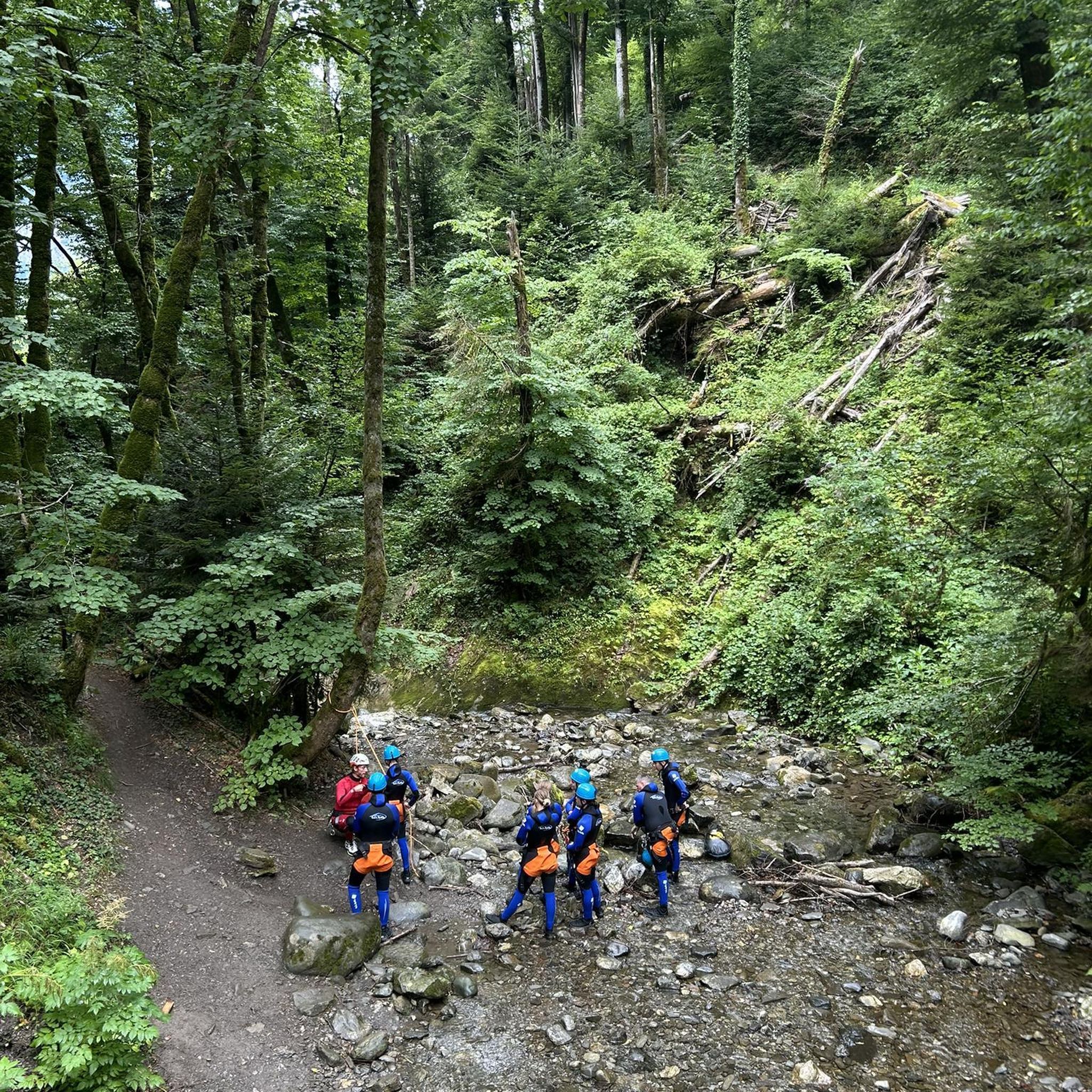
Easy hikes in Oberallgäu

Easy hikes in the Ostallgäu

Easy hikes around Landkreis Lindau
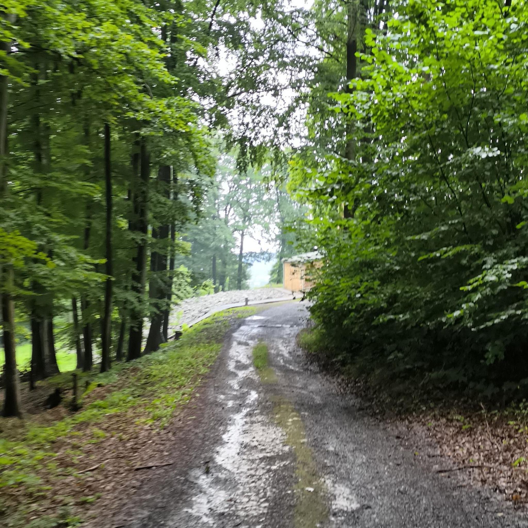
Easy hikes in Unterallgäu
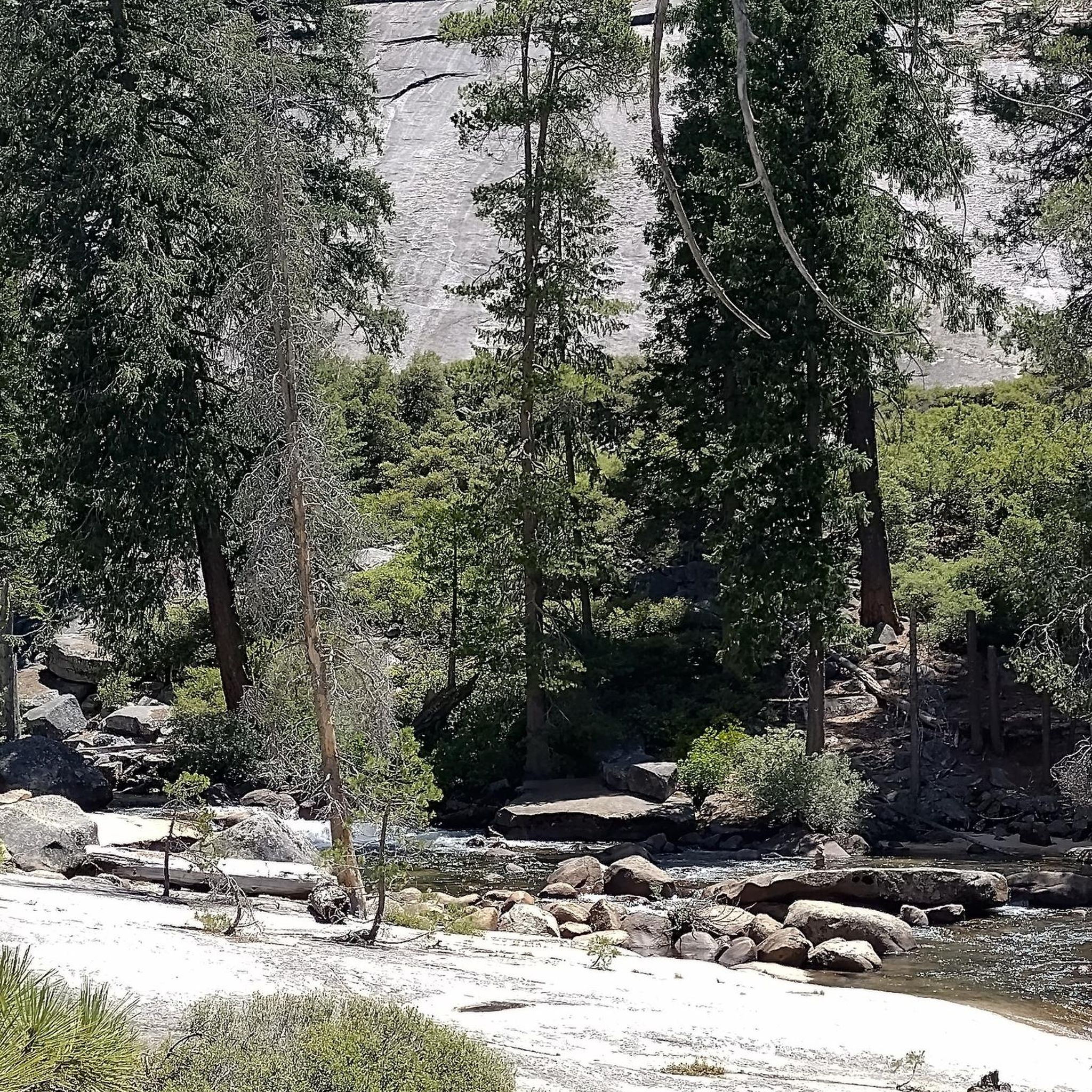
Easy hikes around Memmingen
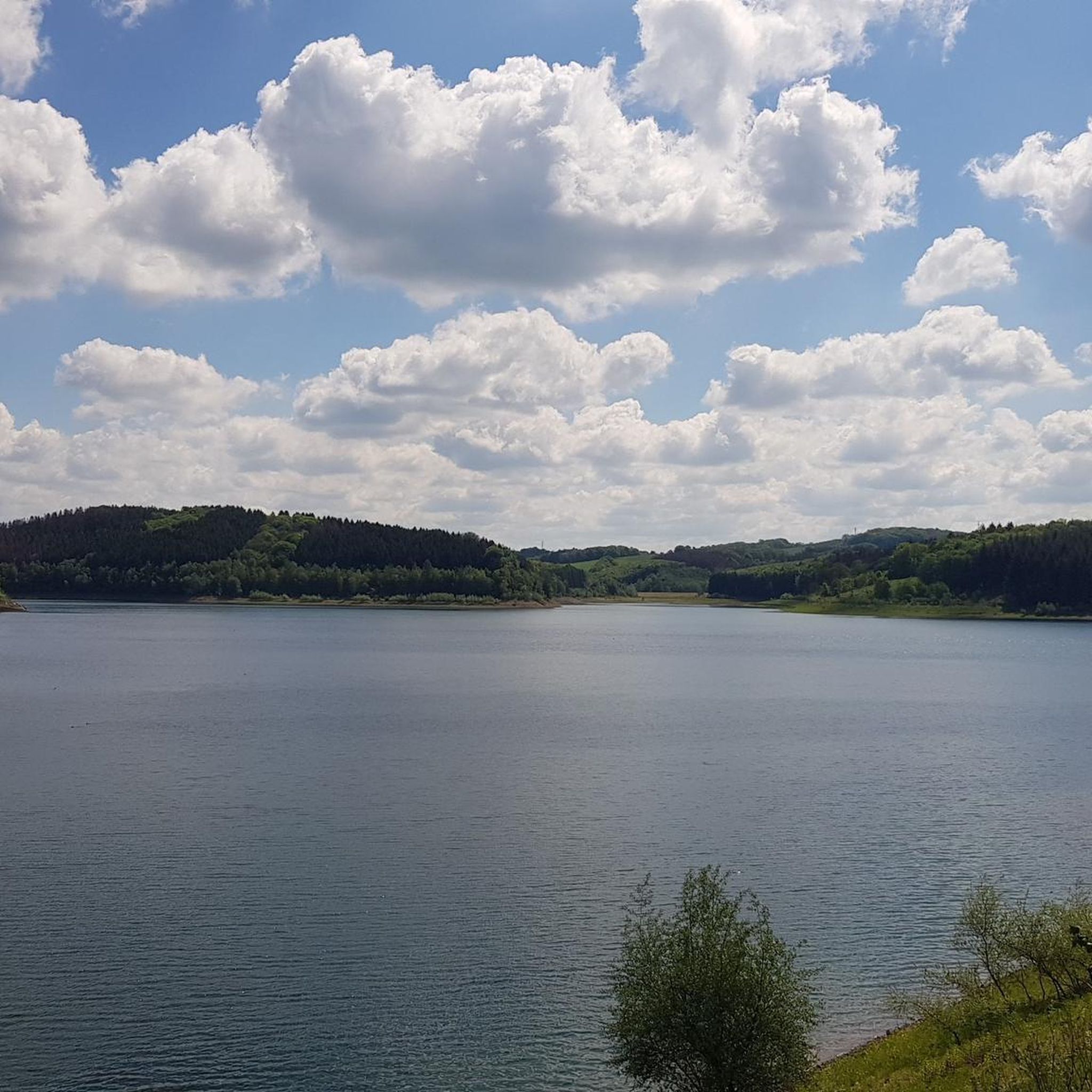
Easy hikes around Kempten Allgäu
Easy hikes around Kaufbeuren

Augsburger Jakobsweg – Through Bavarian-Swabia
LechErlebnisWeg – multi-day Tour from Landsberg to Füssen
Other adventures in the Allgäu


Tips from the Community

The Kapf, at around 970 meters, is a scenic ridge west of Oberstaufen. You can reach it after a short climb through the Kapfwald forest. From the highest point, a fantastic panorama awaits you – over the Nagelfluh chain, into neighboring Vorarlberg, and with clear visibility, all the way to the Säntis in Switzerland.
1
0
High above Oberstaufen is the Café Paradies, which belongs to the Hotel Berghof am Paradies and looks back on over 60 years of history. From the large sun terrace, the view extends far over the mountain world and three countries: Germany, Austria, and Switzerland. The establishment is known above all for its homemade cakes and pastries, and it also offers snacks and small dishes. Apple trees stand all around the café, which are in full bloom in spring.
1
0
From the west flank of the Staufen, the view falls across steep grassy slopes directly onto Oberstaufen, which lies peacefully in its valley hollow. When the sun sets in the west, warm light lies on the roofs and the first lights come on in the village, you will probably have the most beautiful view from up here at dusk.
1
0
It was not the place that gave the mountain its name, but the other way around: the Celtic „Stuffen" denoted a drinking vessel without a base, which was placed upside down – an image of the strikingly conical shape of the 1,042-meter-high summit. It owes this to two ice-age glacier tongues that once flowed around it. The Staufner Berg is located on the European main watershed between the North Sea and the Mediterranean Sea.
1
0
The foliage here offers a fantastic view of the surrounding landscape. In the distance, the Nagelfluhkette chain reveals itself: peak after peak lines up here. Dominated by the Hochgrat, the highest elevation in the Allgäu Alps at 1,834 meters, the gaze wanders over the green hilly landscape around Oberstaufen. With clear visibility, the Swiss Säntis can be glimpsed in the southwest.
1
0

The region's most famous natural monument. Two large waterfalls with drops of 22 m and 18 m in the Rohrach gorge. There are several viewing platforms and walkways. A geo-adventure trail, water playground, and other family attractions.
6
0

Unfortunately, no water is collecting there at the moment...
0
0

Great view in all directions, but a drafty spot in windy conditions! 💨😵💫
1
0
Frequently Asked Questions
How many easy hiking trails are available in the Allgäu region?
The Allgäu region offers a vast network of trails, with over 7,100 easy hiking routes available on komoot. This ensures a wide variety of options for all skill levels, from leisurely strolls to slightly more challenging paths through diverse landscapes.
What kind of landscapes can I expect on easy hikes in the Allgäu?
Easy hikes in the Allgäu traverse a diverse landscape, transitioning from lush Alpine foothills with wide valleys and meadows to areas with impressive rock formations. You'll find numerous crystal-clear lakes like Hopfensee and Alpsee, extensive forests, and unique moorlands, offering varied natural environments.
Are there family-friendly easy hikes in the Allgäu?
Yes, the Allgäu is very family-friendly. Many easy routes are suitable for children, offering gentle terrain and engaging sights. For example, the Alpine Adventure Trail on the Imberg provides an accessible alpine experience, while the Hike in the Kißlegg lake district offers pleasant lakeside paths.
Can I find easy circular hiking routes in the Allgäu?
Absolutely. The Allgäu features many easy circular routes perfect for a relaxed day out. The Breitachklamm Loop Trail is a popular choice, offering stunning gorge views. Another option is the Nebelhorn: circular hike Pfannenhölzle, providing a scenic loop in the Allgäu Alps.
Are there easy hikes in the Allgäu that feature waterfalls or gorges?
Yes, the Allgäu is home to spectacular natural features. The Breitachklamm Loop Trail takes you through Central Europe's deepest gorge. You can also explore the Scheidegg waterfalls, or visit the impressive Buchenegger Waterfalls, located in one of Germany's last primeval forests.
What are some notable attractions or landmarks to see along easy hiking trails?
Beyond the natural beauty, you can encounter iconic landmarks. While hiking, you might catch glimpses of the famous Neuschwanstein Castle. Other natural highlights include the dramatic Breitach Gorge and Starzlach Gorge, or the powerful Lechfall.
Are there easy hikes with good viewpoints in the Allgäu?
Many easy trails in the Allgäu offer rewarding viewpoints. Routes around lakes like Weissensee provide impressive mountain vistas. For a unique perspective, consider the Tree-Top Path in Scheidegg (Skywalk Allgäu) which offers spectacular bird's-eye views from 1,000 meters above sea level.
Can I find easy hikes in the Allgäu with options for refreshment stops?
Yes, the Allgäu is well-equipped with mountain huts and refreshment stops. Many routes, especially those in the Alpine foothills, pass by traditional Gasthäuser or Almen where you can enjoy regional specialties like Allgäu mountain cheese and Kässpatzen. Look for routes that mention 'Einkehr' (refreshment stop) in their descriptions.
What do other hikers say about the easy trails in the Allgäu?
The easy trails in the Allgäu are highly rated by the komoot community, with an average score of 4.5 stars from over 150,000 reviews. Hikers often praise the well-maintained paths, the stunning natural beauty, and the variety of landscapes, from serene lake circuits to gentle alpine paths.
Are there any easy hikes in the Allgäu that are particularly suitable for dogs?
Many easy trails in the Allgäu are dog-friendly, especially those through forests and along lakesides where dogs can enjoy the natural environment. The 'Moor & Wurzeln' (moor & roots) near Lindenberg offers a pleasant walk through moorland and forests, which can be enjoyable for dogs. Always ensure your dog is on a leash where required and respect local wildlife.
What is the typical duration for an easy hike in the Allgäu?
The duration of easy hikes in the Allgäu varies, but most can be completed within a few hours. For instance, the Tiefenbach Loop takes approximately 1 hour 50 minutes, while the On the Staufen route is around 1 hour 40 minutes. You can find routes ranging from just over an hour to up to three hours, depending on your preference.
Are there easy hiking trails in the Allgäu accessible by public transport?
While many trails are best accessed by car, some areas in the Allgäu are well-served by public transport, particularly around larger towns and popular tourist destinations. It's advisable to check local bus and train schedules for specific trailheads, especially for routes near Oberstdorf or Füssen, which have good connections.
Most popular routes in the Allgäu
Most popular attractions in the Allgäu

Get inspired with the komoot mobile app


Didn’t find what you were looking for?
Check out more Hikes throughout Allgäu below and find the perfect route in your destination.
Explore more
Browse the best Hikes in other regions.
