Easy hikes and walks in Germanswald
4.5
(11807)
45,729
hikers
60
hikes
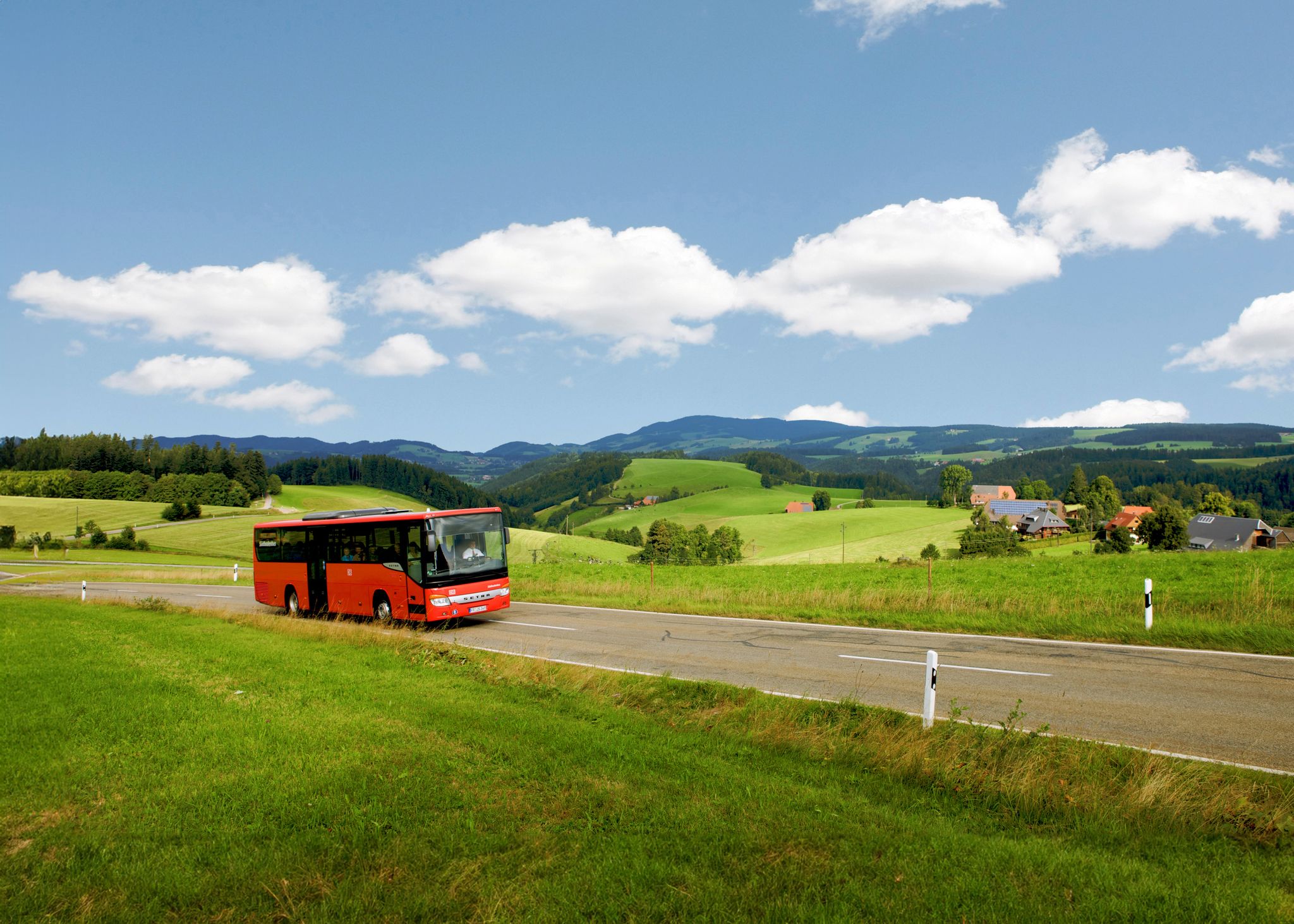
Easy hiking trails in Germanswald offer a chance to explore a landscape characterized by extensive forests and varied topography. The region features gently rolling hills and deep valleys, providing a natural setting for outdoor activities. Many trails lead through peaceful woodlands, allowing visitors to experience the fresh air and natural environment. This area is well-suited for easy hikes, with paths that cater to a range of abilities.
Best easy hiking trails in Germanswald
- The most popular easy hiking route is…
Last updated: October 4, 2026
4.6
(13)
66
hikers
7.08km
01:54
80m
80m
Easy hike. Great for any fitness level. Easily-accessible paths. Suitable for all skill levels.
4.2
(19)
57
hikers
Easy hike. Great for any fitness level. Easily-accessible paths. Suitable for all skill levels.

4.7
(10)
48
hikers
2.42km
00:42
70m
70m
Easy hike. Great for any fitness level. Easily-accessible paths. Suitable for all skill levels.
34
hikers
5.43km
01:32
110m
110m
Easy hike. Great for any fitness level. Easily-accessible paths. Suitable for all skill levels.
4.7
(11)
42
hikers
5.01km
01:24
100m
100m
Easy hike. Great for any fitness level. Easily-accessible paths. Suitable for all skill levels.
Get access to more routes and recommendations from other explorers.
Already have an account?
Our route recommendations are based on thousands of hikes, rides, and runs completed by other people on komoot.
Other adventures in Germanswald

Tips from the Community

"Quellhorizont" A layer reaching the Earth's surface, damming up water, from which several springs emerge horizontally. Since rock layers that conduct water and those that dam up water extend horizontally one above the other, adjacent layer springs occur clustered at the same height along a line – the Quellhorizont.
1
0

nice monument on the bike path towards St. Georgen
0
0
great resting spot on the bike path shortly after Tuttlingen
0
0

In on one side and out on the other
3
0

Refreshing ice-cold water.
3
0

A rewarding viewpoint with sweeping views over the Black Forest. Best appreciated on a clear day — worth the climb for the panoramic scenery before descending towards St. Georgen.
0
0

The playground is located at the Salvest game enclosure. Ideal for children to play. Ideal for adults for a little break.
1
0

Frequently Asked Questions
How many easy hiking trails are available in Germanswald?
Germanswald offers a wide selection of easy hiking trails, with 42 routes specifically designed for a relaxed outdoor experience. In total, there are 63 hiking routes in the region.
What kind of landscape can I expect on easy hikes in Germanswald?
The easy hikes in Germanswald lead through a landscape characterized by extensive forests, gently rolling hills, and picturesque deep valleys. You'll find peaceful woodlands and varied topography, providing a refreshing natural setting.
Are there any circular easy hikes in Germanswald?
Yes, many of the easy trails in Germanswald are circular routes, perfect for a convenient day trip. For example, you can explore the Groppertal Forest Trail – View of the Black Forest loop from Tannenhöhe, or the Uhustein – Groppertal Forest Trail loop from Tannenhöhe, both offering scenic loops through the forest.
What natural features or landmarks can I see along the easy hiking trails?
You can discover several interesting natural features and landmarks. The Kirneck Ruins – View of Maria Tann loop from Ruine Kirneck passes by historical ruins. Other notable natural monuments in the region include the impressive Uhustein and Uhufelsen (Owl Rock), as well as the tranquil Mönchsee.
Are the easy hiking trails in Germanswald suitable for families?
Yes, the easy hiking trails in Germanswald are generally well-suited for families. The paths are designed to be accessible, with gently rolling hills and manageable distances, allowing everyone to enjoy the natural environment. Many routes offer a chance to immerse yourselves in peaceful woodlands.
What is the typical duration and distance for easy hikes in Germanswald?
Easy hikes in Germanswald typically range from 4 to 7 kilometers (2.5 to 4.5 miles) and can be completed in about 1 hour 10 minutes to 2 hours. For instance, the Uhustein – Groppertal Forest Trail loop is 4.3 km (2.7 miles) and takes about 1 hour 10 minutes.
What do other hikers say about Germanswald's easy trails?
The easy trails in Germanswald are highly regarded by the komoot community, holding an impressive average rating of 4.6 stars from nearly 3,000 reviews. Hikers often praise the peaceful forest paths, scenic views, and the well-maintained nature of the routes.
Are there options for parking near the trailheads?
While specific parking details for every trailhead are not listed, many German hiking regions, including those with extensive forests like Germanswald, typically offer designated parking areas at popular starting points. It's advisable to check the individual route descriptions for precise parking information.
What is the best time of year to go hiking in Germanswald?
Germanswald's extensive forests and varied topography make it an appealing hiking destination throughout much of the year. Spring and autumn offer pleasant temperatures and vibrant natural colors, while summer provides lush greenery. Even in winter, some trails can be enjoyed, though conditions may vary.
Are there any easy routes that include a place to eat or drink?
Yes, some easy routes in Germanswald offer opportunities to stop for refreshments. For example, the Breitbrunnen Inn – Brunnen Beer Garden loop from Ruine Kirneck is an easy hike that passes by places where you can enjoy local food and beverages, characteristic of many German hiking areas.
Can I bring my dog on the easy hiking trails in Germanswald?
Generally, dogs are welcome on hiking trails in German forests, provided they are kept under control, often on a leash, and owners clean up after them. Germanswald's extensive woodlands offer plenty of space for you and your dog to enjoy the outdoors together.
Are there any historical sites along the easy trails?
Yes, some easy trails in Germanswald incorporate historical elements. The Kirneck Ruins – View of Maria Tann loop from Ruine Kirneck is an excellent example, allowing you to explore historical ruins while enjoying the scenic views. Another route, the Hubert Ganter Memorial – Kirneck Ruins loop from Kirnach, also passes by historical points of interest.
Most popular routes in Germanswald
Most popular attractions in Germanswald

Get inspired with the komoot mobile app


Explore more
Browse the best Hikes in other regions.
