The best running trails in Germanswald
4.4
(381)
4,749
runners
24
runs
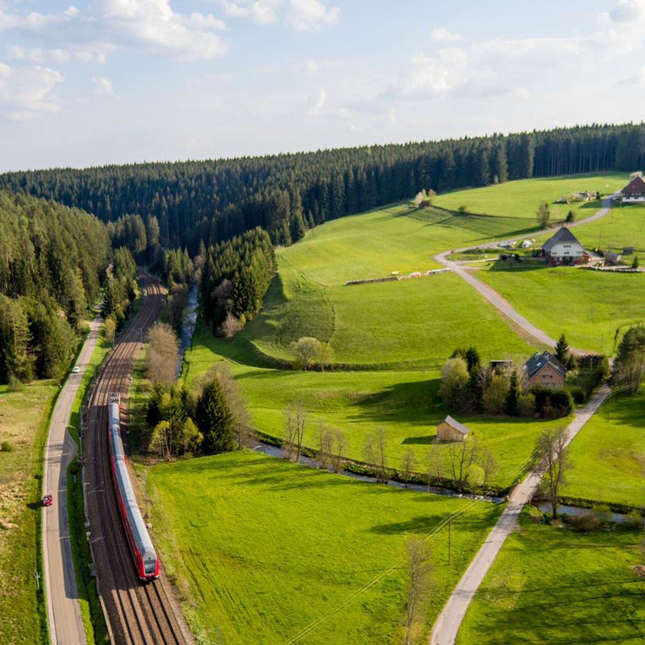
Jogging in Germanswald offers diverse and scenic landscapes, making it a compelling destination for outdoor enthusiasts. The region is characterized by extensive forest trails and varied terrain, providing numerous options for running. These routes often feature gentle elevation changes, suitable for a range of fitness levels. Germanswald's natural beauty and well-maintained paths contribute to its appeal for runners seeking engaging outdoor experiences.
Best jogging routes in Germanswald
- The most popular jogging route is Running loop from VVG der Stadt Villingen-Schwenningen…
Last updated: July 15, 2026
4.9
(7)
93
runners
11.4km
01:18
80m
80m
Moderate run. Good fitness required. Mostly paved surfaces. Suitable for all skill levels.
35
runners
Hard run. Good fitness required. Sure-footedness, sturdy shoes and alpine experience required.

Sign up for free
39
runners
Hard run. Good fitness required. Sure-footedness, sturdy shoes and alpine experience required.
16
runners
7.31km
00:46
80m
80m
Moderate run. Good fitness required. Mostly paved surfaces. Suitable for all skill levels.
5.0
(3)
13
runners
Hard run. Great for any fitness level. Sure-footedness, sturdy shoes and alpine experience required.
Get access to more routes and recommendations from other explorers.
Sign up for free
Already have an account?
Our route recommendations are based on thousands of hikes, rides, and runs completed by other people on komoot.
Start today with a free account
Your next adventure awaits.
Login or Signup
Other adventures in Germanswald

Tips from the Community

It's recommended to download the route offline to your phone beforehand, or to have an analog copy with you in case you want to double-check if you've taken a wrong turn. We had no cell reception for long stretches along the way.
0
0
Beautiful mossy forest paths, especially in the first half of the trail through the Germanswald forest. The route is very well signposted for the most part, but in some places, in my opinion, the signage is not ideally placed, so it's easy to take a wrong turn.
1
0

You can stop for a bite to eat at the Feldner Mill, please inquire about opening hours beforehand
0
0

Is 11.3 km long an easy round trip
8
0
The Groppertal Panorama Trail also runs along here
6
0

Information about the Feldner Mill can be found here: https://www.feldner-muehle.de/
1
0
Information about the Uhustein can be found here: https://www.schwarzwald-tourismus.info/attraktionen/uhustein-5b6df015aa
1
0
Frequently Asked Questions
How many running routes are available in Germanswald, and what are their difficulty levels?
Germanswald offers a wide selection of running routes, with over 18 trails documented on komoot. These routes cater to various fitness levels, including 2 easy, 10 moderate, and 6 difficult options, ensuring there's a suitable path for every runner.
What kind of terrain and elevation can I expect on Germanswald's running routes?
The running routes in Germanswald are characterized by varied terrain, often featuring extensive forest trails and gentle valleys. While some paths have moderate elevation changes, they are generally suitable for a range of fitness levels, providing an engaging outdoor experience.
Are there family-friendly jogging routes in Germanswald?
Yes, Germanswald has several routes suitable for families. For an easier option, consider the Groppertal Forest Trail loop from Tannenhöhe, which is an easy 3.1 km (1.9 miles) path, perfect for a relaxed family run or walk.
Can I find circular running routes in Germanswald?
Absolutely. Many of the running paths in Germanswald are designed as loops, allowing you to start and finish at the same point. An example is the popular Running loop from VVG der Stadt Villingen-Schwenningen, a 11.5 km (7.1 miles) moderate trail.
What natural features or landmarks can I see while running in Germanswald?
Germanswald's routes often pass by interesting natural features and landmarks. You might encounter the impressive Uhustein or the Uhufelsen (Owl Rock), both natural monuments. Some trails also lead past the tranquil Mönchsee or the historic Römerweg Stone Path.
Are the running trails in Germanswald dog-friendly?
Given the extensive forest trails and natural landscapes of Germanswald, many running paths are suitable for dogs, provided they are kept on a leash and owners adhere to local regulations. The region's focus on outdoor activities generally accommodates dog walkers and runners.
What do other runners enjoy most about jogging in Germanswald?
The running routes in Germanswald are highly rated by the komoot community, with an average score of 4.4 stars from over 300 reviews. Runners frequently praise the diverse and scenic landscapes, the well-maintained forest trails, and the variety of options for different ability levels.
Are there any challenging running routes for experienced runners?
Yes, Germanswald offers several challenging routes for those seeking a more intense run. There are 6 routes classified as 'difficult', such as the Uhustein – Groppertal Forest Trail loop from Tannenhöhe, which covers 3.6 km (2.2 miles) with notable elevation changes.
Is public transport available to access the running trails in Germanswald?
While specific public transport connections vary by starting point, Germanswald is generally accessible. It's advisable to check local bus or train schedules to determine the best way to reach your chosen trailheads, especially for routes near towns like Villingen-Schwenningen.
Are there places to explore near the running routes in Germanswald?
Beyond the trails, Germanswald offers various excursion destinations. You can visit the Wildlife enclosure at Forsthaus Salvest or explore the Narrow forest path in Naturpark Südschwarzwald, both of which are popular points of interest in the area.
What is the best time of year to go running in Germanswald?
Germanswald is suitable for running throughout much of the year, with each season offering a unique experience. Spring and autumn provide pleasant temperatures and beautiful scenery, while summer is ideal for early morning or late afternoon runs. Winter running is also possible, though trail conditions may vary.
Most popular routes in Germanswald
Most popular attractions in Germanswald

Get inspired with the komoot mobile app


Explore more
Browse the best Running Trails & Routes in other regions.
