The best gravel rides around Sigottier
4.1
(12)
66
riders
7
rides
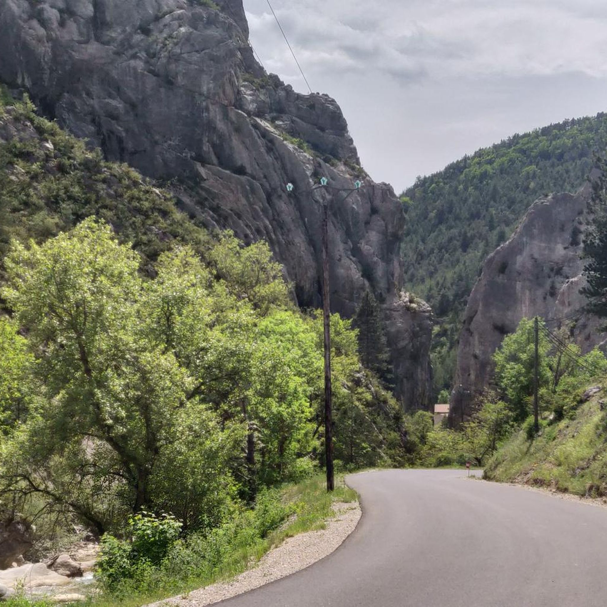
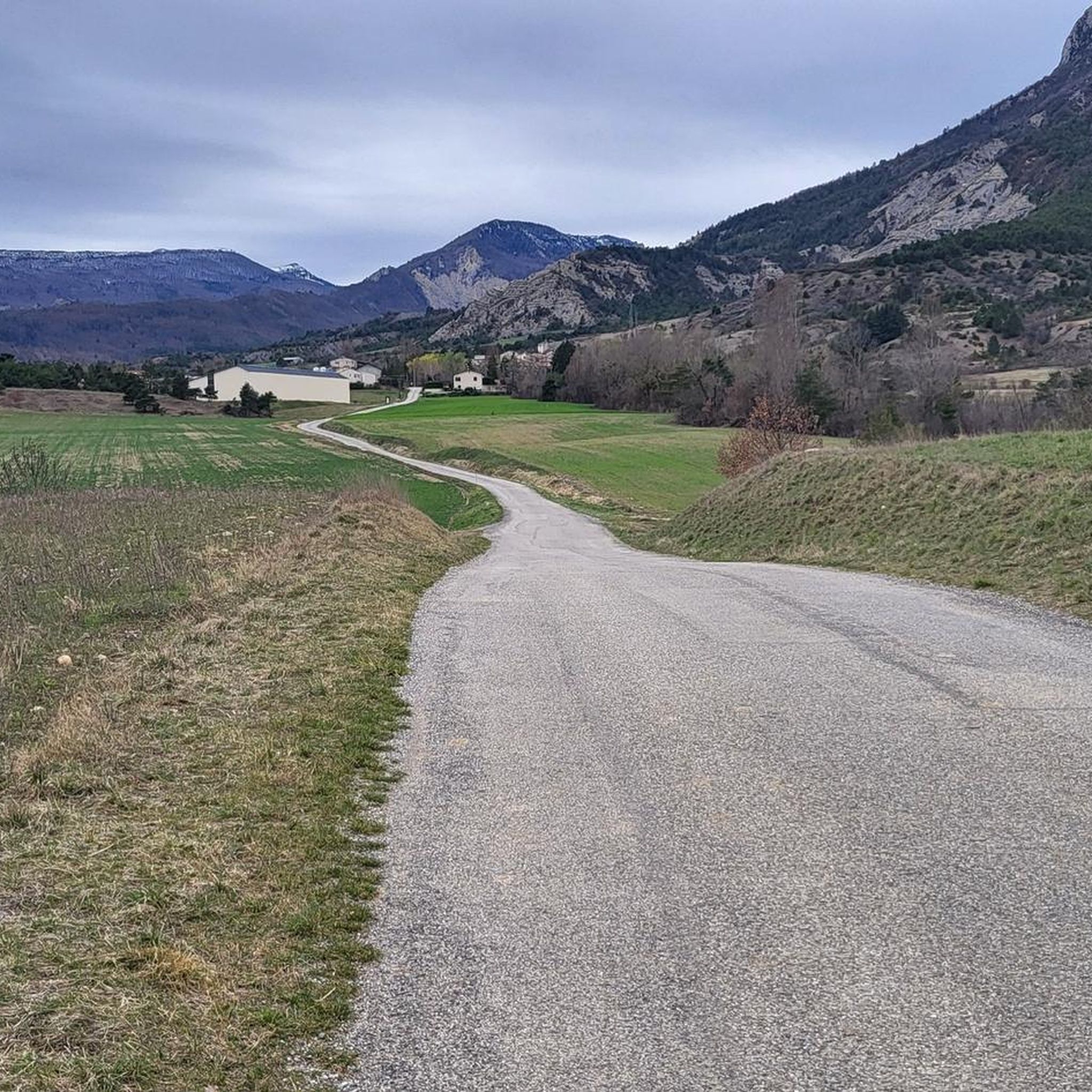
Gravel biking around Sigottier offers routes characterized by significant elevation changes and varied terrain. The region features numerous mountain passes and deep gorges, providing challenging climbs and descents. Trails often traverse open landscapes with expansive views, connecting different hamlets and natural features. The area's geography is well-suited for gravel cyclists seeking demanding rides.
Best gravel bike trails around Sigottier
- The most popular gravel bike trail is Chemin des Gorges d’Agnielles – Hameau de Saint-Marcellin loop from Veynes-Dévoluy, a 20.9…
Last updated: October 7, 2026
4.5
(2)
8
riders
Hard gravel ride. Very good fitness required. Mostly paved surfaces. Suitable for all skill levels.
4.5
(2)
8
riders
53.2km
03:50
1,070m
1,070m
Hard gravel ride. Very good fitness required. Mostly paved surfaces. Suitable for all skill levels.

10
riders
89.8km
06:08
1,650m
1,650m
Hard gravel ride. Very good fitness required. Mostly paved surfaces. Suitable for all skill levels.
3.5
(2)
11
riders
41.0km
03:13
880m
880m
Hard gravel ride. Very good fitness required. Mostly paved surfaces. Suitable for all skill levels.
3
riders
34.1km
02:55
890m
890m
Hard gravel ride. Very good fitness required. You may need to push your bike for some segments of this route.
Get access to more routes and recommendations from other explorers.
Already have an account?
Our route recommendations are based on thousands of hikes, rides, and runs completed by other people on komoot.
Start today with a free account
Your next adventure awaits.
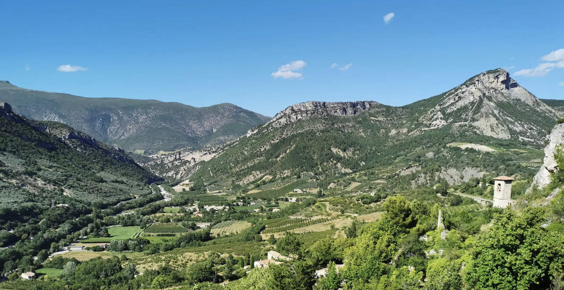
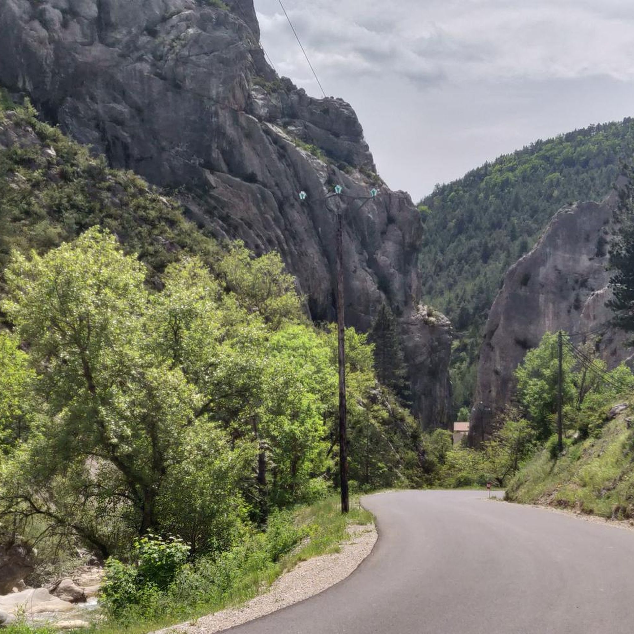
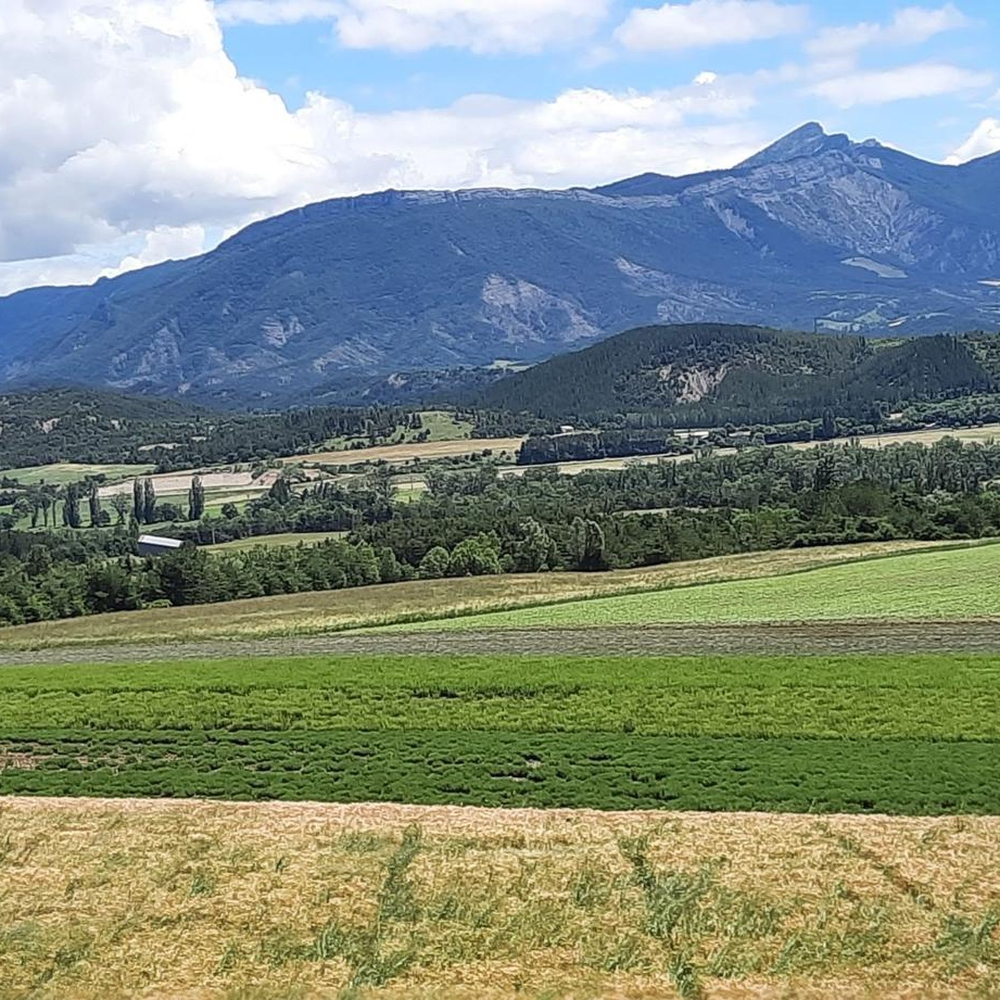
Other adventures around Sigottier

Tips from the Community

Discovery of a small part of the loop. I really enjoyed this route and it made me want to discover the loop in its entirety.
0
0

Yes, Veynes! It is a small town in the Hautes-Alpes (05), in the Provence-Alpes-Côte d’Azur region, at an altitude of about 814 m.
6
0
The Haut-Buëch circuit is a 77 km loop around Veynes, which crosses several mountain passes. Classified as difficult, it mainly takes place on shared roads (100%), has an elevation gain of 827 meters, and is recommended for experienced cyclists. The estimated travel time is about 6 hours and 29 minutes. Points of interest along the route include the Veynes railway workers' ecomuseum and the castle of Aspremont.
7
0
The Col de Verniers via Châteauneuf d'Oze is a climb located in the Hautes-Alpes region. This climb is 2.4 km long, with a total elevation gain of 124 m. The Col de Verniers via Châteauneuf d'Oze has an average gradient of 5.1%.
22
0
Ancient building maintained in excellent condition.
7
0
Ascent on a secondary road, very easy slopes. Be careful of the slightly slippery asphalt.
7
0
Road without traffic with stunning views
10
0
The Col du Festre is an Alpine pass located in the Dévoluy massif, in the Hautes-Alpes department, at an altitude of 1,441 meters. It connects the Buëch valley with that of the Souloise and is one of the main accesses to the Dévoluy territory.
7
0
Frequently Asked Questions
What is the general difficulty level of gravel bike trails around Sigottier?
Gravel biking around Sigottier is characterized by significant elevation changes and varied terrain, making most routes challenging. The region features numerous mountain passes and deep gorges, providing demanding climbs and descents. Out of 8 available routes, 7 are rated as difficult.
Are there any easy or beginner-friendly gravel bike routes in Sigottier?
The gravel bike routes around Sigottier are generally challenging, with most featuring substantial elevation gain and varied terrain. There are no routes currently categorized as easy, so beginners should be prepared for demanding rides or consider other regions.
What are some of the longest gravel bike routes in the Sigottier area?
For those seeking longer rides, the Bachassette Pass – Verniers Pass loop from Veynes-Dévoluy is a substantial 34.0 miles (54.7 km) trail, typically completed in about 3 hours 57 minutes. Another long option is the View of L'Aujour – Bachassette Pass loop from Veynes-Dévoluy, which covers 25.6 miles (41.3 km).
Are the gravel bike trails around Sigottier primarily loop routes?
Yes, many of the gravel bike routes in the Sigottier area are designed as loops, allowing you to start and finish at the same point. Examples include the Chemin des Gorges d’Agnielles – Hameau de Saint-Marcellin loop from Veynes-Dévoluy and the Espréaux Pass – Espréaux Pass loop from Saint-Auban-d'Oze.
What kind of scenic views can I expect on gravel bike routes near Sigottier?
The region offers open landscapes with expansive views, often featuring panoramic vistas from mountain passes. Routes like the View of L'Aujour – Bachassette Pass loop from Veynes-Dévoluy are known for their scenic beauty, traversing through deep gorges and over high passes.
What are some notable landmarks or attractions along the gravel bike trails?
While riding, you might encounter various mountain passes such as Col de Carabès or Verniers Pass. The area also features natural wonders like the Gorges du Riou and historical sites like Clausonne Abbey, offering points of interest beyond the ride itself.
What do other gravel bikers say about the trails in Sigottier?
The gravel biking experience in Sigottier is highly rated by the komoot community, with an average score of 4.7 stars from over 5 reviews. Riders often praise the challenging nature of the routes, the stunning open landscapes, and the rewarding climbs through mountain passes and gorges.
When is the best time of year to go gravel biking in Sigottier?
Given the region's mountain passes and significant elevation, the best time for gravel biking is typically from late spring through early autumn (May to October). This avoids snow and ice at higher elevations and offers more stable weather conditions for challenging rides.
Are there options for coffee or food stops along the gravel routes?
While specific coffee stops are not detailed for every route, the trails often connect different hamlets and villages. Planning your route to pass through these small settlements can provide opportunities for refreshments and local amenities.
How many gravel bike routes are available in the Sigottier region?
There are 8 gravel bike routes available for exploration in the Sigottier region, offering a variety of challenging experiences for riders.
What is the typical elevation gain on gravel bike routes around Sigottier?
The gravel bike routes in Sigottier are known for significant elevation changes. For example, the Bachassette Pass – Verniers Pass loop from Veynes-Dévoluy involves over 1100 meters of ascent, while the Chemin des Gorges d’Agnielles – Hameau de Saint-Marcellin loop from Veynes-Dévoluy has nearly 1000 meters of climbing.
Is parking available at the trailheads for gravel biking in Sigottier?
While specific parking information for each trailhead is not provided, routes often start from towns like Veynes-Dévoluy or Saint-Auban-d'Oze. It is generally advisable to check local parking options in these starting points before your ride.
Most popular attractions around Sigottier

Get inspired with the komoot mobile app


Explore more
Browse the best Gravel rides in other regions.
