The best running trails around Sigottier
4.6
(33)
778
runners
72
runs
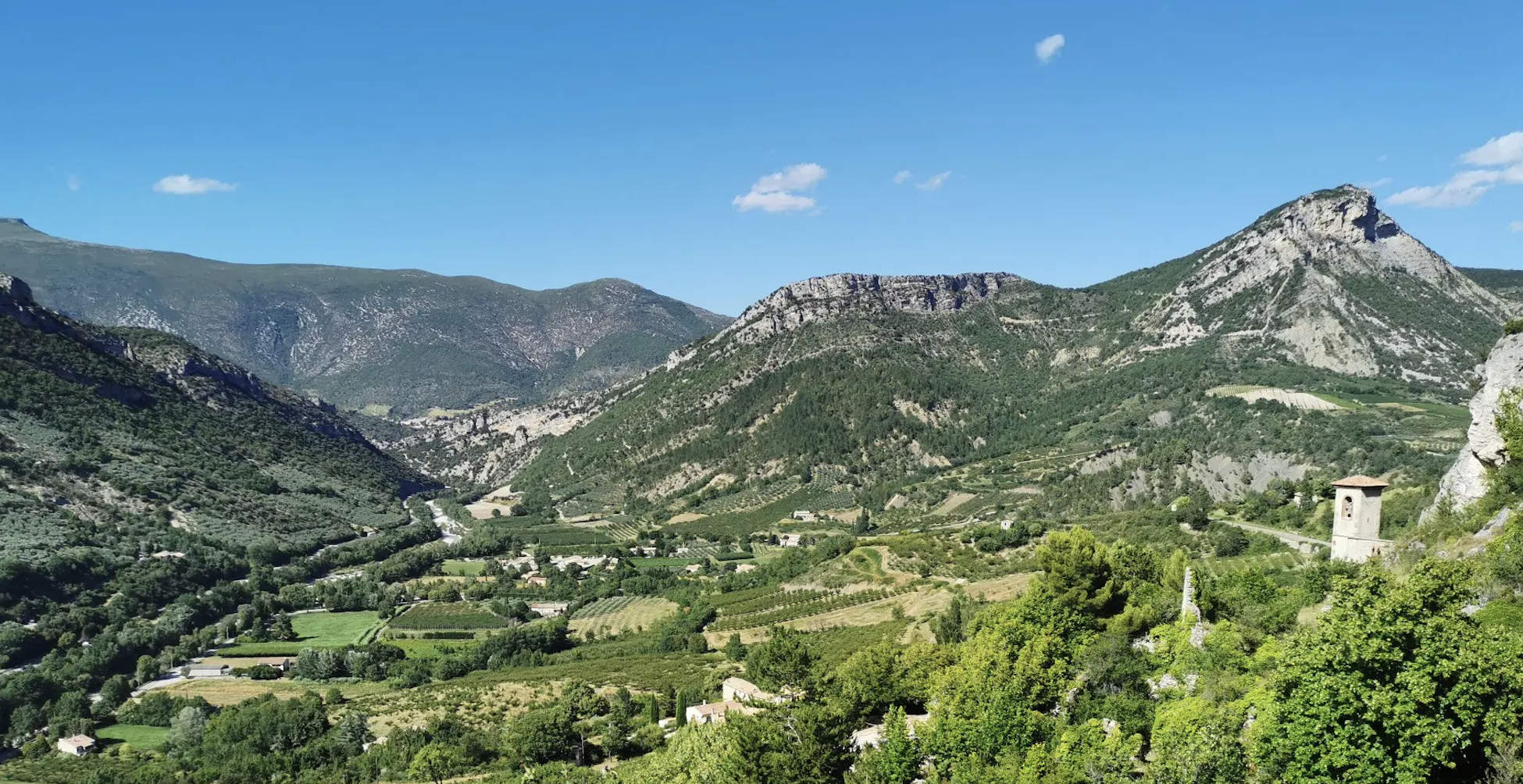
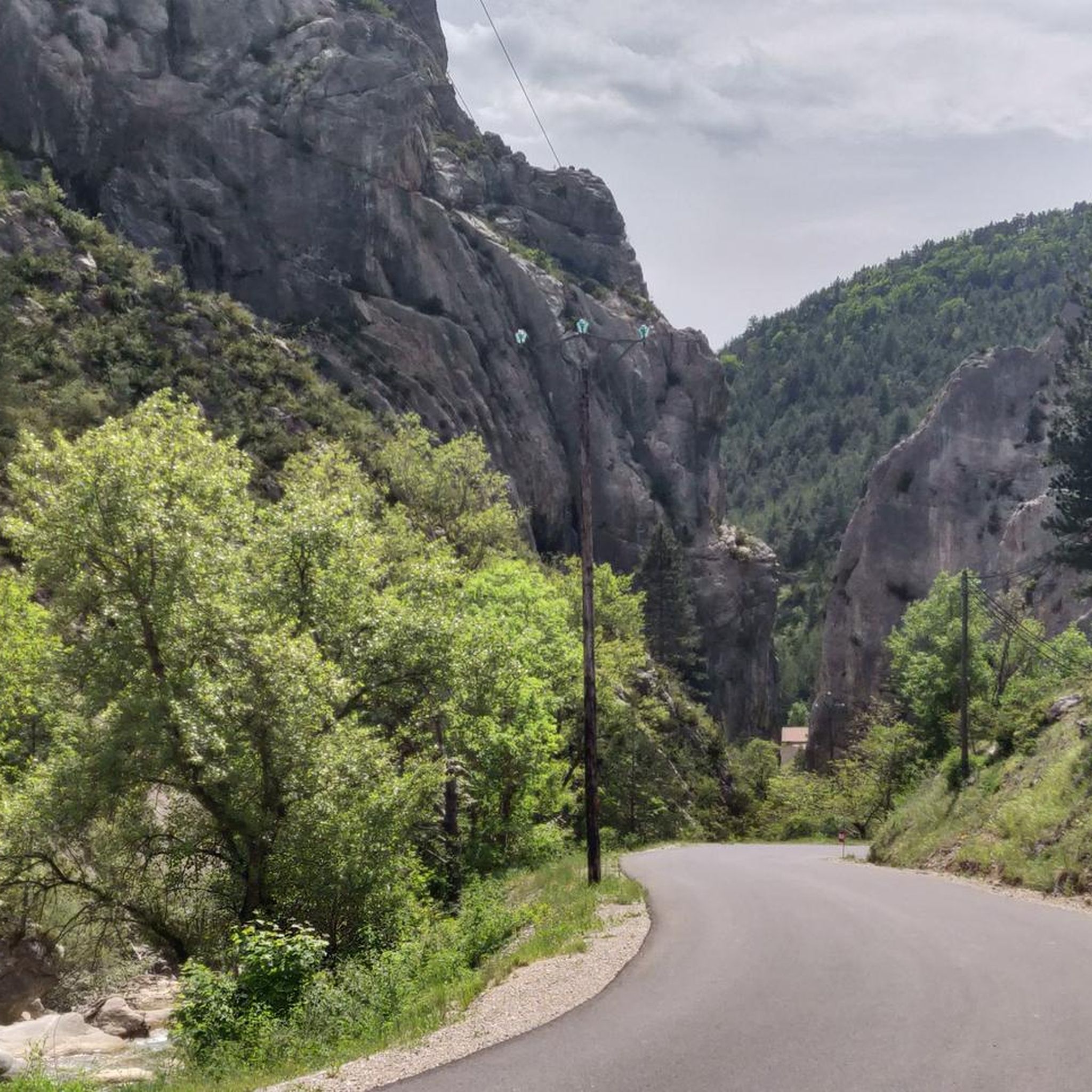
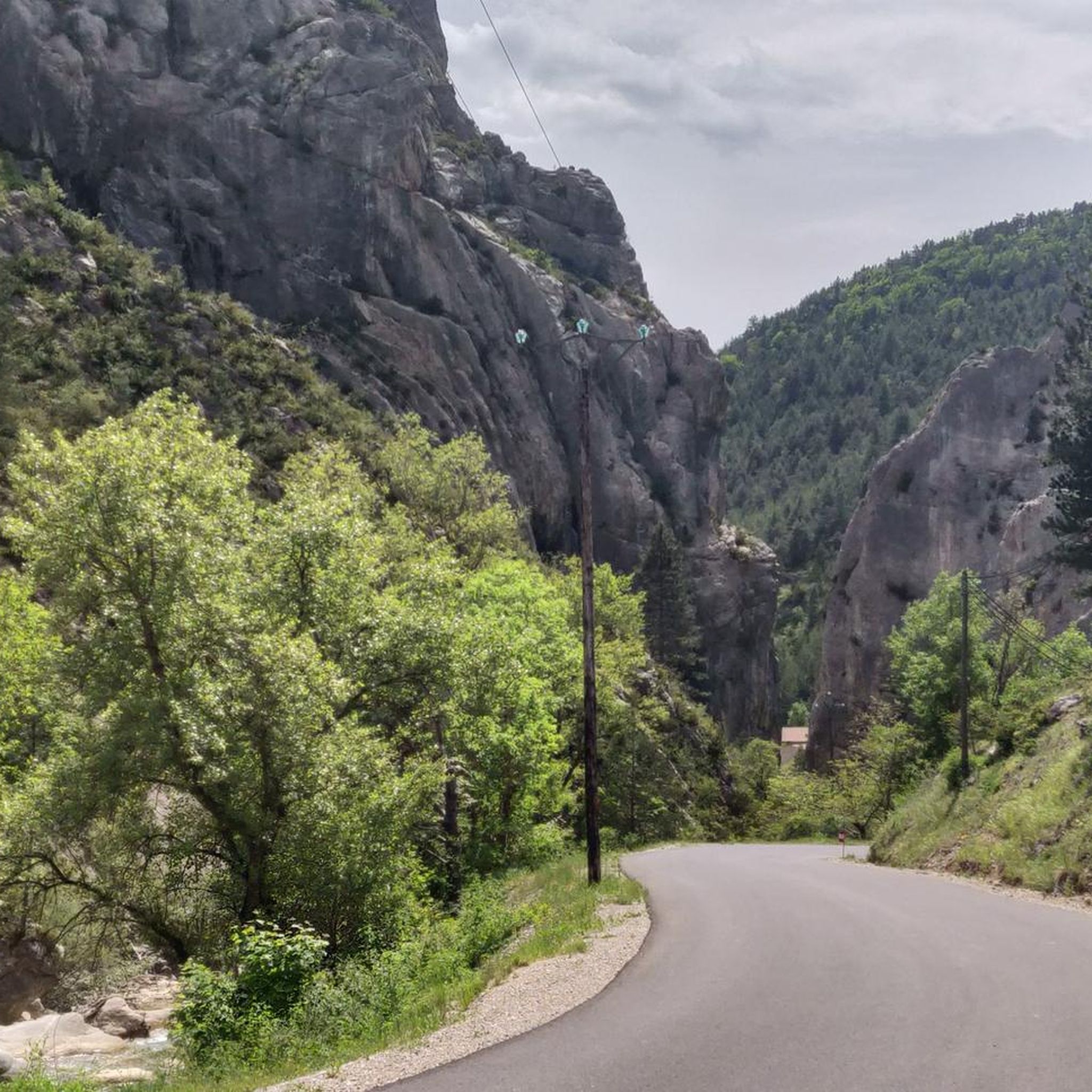
Jogging around Sigottier offers diverse terrain within the Hautes-Alpes department. The region is characterized by dramatic limestone cliffs carved into pinnacles, providing a unique backdrop for running. River valleys, formed by the Aiguebelle and Arron torrents, offer scenic routes with the sound of flowing water. Numerous forest tracks and trails, including those leading to mountain passes like the Col d'Aron, provide varied options for runners.
Best jogging routes around Sigottier
- The most popular jogging route is Saint-Apôtre – Col de…
Last updated: September 28, 2026
11
runners
9.38km
01:47
770m
770m
Hard run. Very good fitness required. Mostly paved surfaces. Suitable for all skill levels.
9
runners
9.68km
01:48
740m
740m
Hard run. Very good fitness required. Mostly paved surfaces. Suitable for all skill levels.

13
runners
7.30km
01:09
370m
370m
Hard run. Very good fitness required. Sure-footedness, sturdy shoes and alpine experience required.
7
runners
10.6km
01:15
250m
250m
Moderate run. Good fitness required. Mostly paved surfaces. Suitable for all skill levels.
4
runners
8.26km
01:03
320m
320m
Hard run. Very good fitness required. Mostly paved surfaces. Suitable for all skill levels.
Get access to more routes and recommendations from other explorers.
Already have an account?
Our route recommendations are based on thousands of hikes, rides, and runs completed by other people on komoot.
Start today with a free account
Your next adventure awaits.

Other adventures around Sigottier

Tips from the Community

Serres is a municipality in southeastern France, located in the department of Hautes-Alpes, in the Provence-Alpes-Côte d’Azur region.
19
0

The small village of Sigottier is nestled in the hollow of the cliffs on the banks of the Aiguebelle. It is a famous site for climbing. An overturned menhir sits above the village.
0
0
This very beautiful path joins the Col de Saumane at an altitude of 1,030 meters. The Notre-Dame de Saumane chapel, also called Notre-Dame-des-Anges, is located along the road.
0
1
Located at an altitude of 660 meters and leaning against the Pignolette rock, the village of Serres dominates the valley and its river. This small medieval town boasts some treasures: the arcaded square, the sculpted doors, the Romanesque church... As you stroll through its streets, you discover its rich history.
4
0
Frequently Asked Questions
How many running routes are available around Sigottier?
There are over 60 running routes documented on komoot for the Sigottier area, catering to various fitness levels. These include a mix of easy, moderate, and difficult trails.
Are there easy jogging routes suitable for beginners in Sigottier?
Yes, Sigottier offers several easy running paths. For instance, the Café Terrace in Serres – Serres loop from Le Bersac is a moderate 6.1-mile (9.8 km) path with gentle terrain near Serres, which can be a good option for those looking for less challenging runs.
What are some longer running trails in the Sigottier area?
For those seeking longer runs, the Saint-Apôtre – Col de Seille loop from Aspres-sur-Buëch is a challenging 7.1-mile (11.4 km) trail. Another option is the Étang de Pêche loop from Serres, which covers 6.9 miles (11.1 km) with moderate difficulty.
What kind of scenery can I expect on the jogging trails around Sigottier?
Jogging in Sigottier offers incredibly diverse and dramatic scenery. You'll encounter routes winding through unique limestone cliffs carved into pinnacles, providing inspiring views. Many trails also follow river valleys, like those formed by the Aiguebelle and Arron torrents, offering the soothing sounds of flowing water. Forest tracks and mountain passes, such as the Col d'Aron, provide opportunities for panoramic mountain and valley vistas.
Are there any circular running routes near Sigottier?
Yes, many of the running routes in the Sigottier area are designed as loops. Examples include the popular Saint-Apôtre – Col de Seille loop from Aspres-sur-Buëch, the Café Terrace in Serres – Serres loop from Le Bersac, and the Arambre – Le Trou de la Lune loop from Serres, all offering varied terrain and scenic views.
What do other runners enjoy the most about jogging in Sigottier?
The running routes in Sigottier are highly rated by the komoot community, with an average score of 4.4 stars from over 20 reviews. Runners often praise the varied terrain, from challenging mountain paths to scenic river trails, and the unique geological formations that make for a constantly changing and inspiring backdrop.
Are there any interesting landmarks or natural features to see along the running routes?
Absolutely! The region is rich in natural and historical points of interest. You might encounter dramatic limestone cliffs and pinnacles, or run alongside the Aiguebelle river. For those seeking elevation, routes can lead to mountain passes like Col de Carabès or offer views of peaks like Le Duffre (Montagne de l'Aup). The nearby medieval village of Serres also offers historical charm with its arcaded square and Romanesque church.
What is the best time of year for running in Sigottier?
Sigottier benefits from a Mediterranean climate, generally favorable for outdoor activities. Spring and autumn often provide the most pleasant temperatures for running, with lush landscapes in spring and vibrant colors in autumn. Summer can be warm, so early morning or late afternoon runs are recommended. While winter offers a different kind of beauty, conditions can vary, especially at higher altitudes.
Are the running trails in Sigottier suitable for families?
Many trails around Sigottier are suitable for families, especially those looking for moderate distances and gentler terrain. While specific 'family-friendly' designations aren't always explicit, routes like the Café Terrace in Serres – Serres loop from Le Bersac offer a good balance of distance and manageable elevation, making them enjoyable for active families.
Can I bring my dog on the jogging trails in Sigottier?
Generally, dogs are welcome on many of the outdoor trails in the Sigottier region. However, it's always advisable to keep your dog on a leash, especially in areas with livestock or protected wildlife. Be sure to check local regulations or signage at trailheads for any specific restrictions.
Are there any routes that offer significant elevation gain for a challenging run?
Yes, the Sigottier area, being in the Hautes-Alpes, offers routes with considerable elevation gain. The Saint-Apôtre – Col de Seille loop from Aspres-sur-Buëch, for example, features a challenging climb towards Col de Seille with over 690 meters of ascent. The Arambre – Le Trou de la Lune loop from Serres also includes significant climbs, making it a good choice for those seeking a more strenuous workout.
Where can I find parking for the running routes in Sigottier?
Parking is typically available in or near the villages that serve as starting points for these routes, such as Sigottier itself, Serres, or Aspres-sur-Buëch. Many komoot tours provide details on starting points, which often correspond to accessible parking areas. It's recommended to check the specific route details on komoot for the most accurate parking information.
Most popular attractions around Sigottier

Get inspired with the komoot mobile app


Explore more
Browse the best Running Trails & Routes in other regions.
