The best MTB trails around Soulvache
4.3
(52)
186
riders
25
rides
Mountain bike trails around Soulvache are set within a predominantly agricultural landscape in the Loire-Atlantique department of western France. The terrain features moderate elevation changes, ranging from 37 to 109 meters, with the Brutz and Semnon rivers forming parts of its borders. While Soulvache itself is rural, the wider region offers opportunities for cycling, including nearby forests and bodies of water that provide varied riding environments.
Best mountain bike trails around Soulvache
- The most popular mountain bike trail is Mountainbike…
Last updated: October 27, 2026
5.0
(2)
28
riders
47.3km
03:23
530m
530m
Moderate mountain bike ride. Good fitness required. Advanced riding skills necessary.
5.0
(1)
15
riders
29.3km
02:13
130m
130m
Moderate mountain bike ride. Good fitness required.

4.1
(8)
7
riders
62.3km
03:56
450m
450m
Moderate mountain bike ride. Good fitness required. Advanced riding skills necessary.
4.5
(6)
11
riders
18.8km
01:13
140m
140m
Easy mountain bike ride.
3.0
(1)
7
riders
35.2km
02:32
280m
280m
Moderate mountain bike ride. Good fitness required. Advanced riding skills necessary.
Get access to more routes and recommendations from other explorers.
Already have an account?
Our route recommendations are based on thousands of hikes, rides, and runs completed by other people on komoot.
Start today with a free account
Your next adventure awaits.

Tips from the Community

Saint-Pierre Apôtre Church, built in the Neo-Gothic style, around 1867.
1
0
Long greenway between Châteaubriant and Bain de Bretagne. Very smooth rolling.
0
0
Magnificent greenway, rolling and shaded. Less flat than I expected.
0
0

Hello, your Point of Interest • 10 km cycle path from Rougé to Châteaubriant (48°16'19.6"N 1°39'50.1"W) is not located correctly on the map. Here are the correct coordinates: 47°46'48.7"N 1°27'11.3"W. Sincerely
0
0

This greenway was built on the old railway line which linked Châteaubriant to Ploërmel. In its heyday at the start of the last century, trains were essentially freight trains that transported iron mined in the region.
0
0

Very beautiful castle allowing you to see the evolution of architecture throughout history. It is one of the rare castles where we find the medieval part with its keep, drawbridge, watchtower on the walls..., a barrel part with brick and clay arcades and a renaissance part with the bedroom by Françoise de Foix. A visit to make
1
0

It was lomg, my really great !! , a great experience.
0
0

Until now I thought that Châteaubriand was only a writer. In fact, René de Châteaubriand was born in Saint-Malo, and died in Paris in 1848. In short, it is not certain that he passed through this city, but in any case he comes from this great French family. The town takes its name from Brient, the lord who founded the castle in the 9th century.
0
0
Frequently Asked Questions
How many mountain bike trails are available around Soulvache?
There are over 25 mountain bike trails around Soulvache listed on komoot, offering a variety of experiences for different skill levels. This includes 10 easy routes, 14 moderate routes, and 1 difficult route.
What kind of terrain can I expect on mountain bike trails near Soulvache?
The terrain around Soulvache is predominantly agricultural with moderate elevation changes, ranging from 37 to 109 meters. You'll find routes along riverbanks, through rural landscapes, and with access to nearby forests and bodies of water, providing varied riding environments.
Are there any family-friendly mountain bike trails in the Soulvache area?
Yes, there are 10 easy mountain bike routes around Soulvache that are suitable for families or beginners. An example is the Martigné Ferchaud church loop from Le Brossay, which is 18.8 km long and offers a gentle ride.
What are some interesting landmarks or attractions I can see while mountain biking near Soulvache?
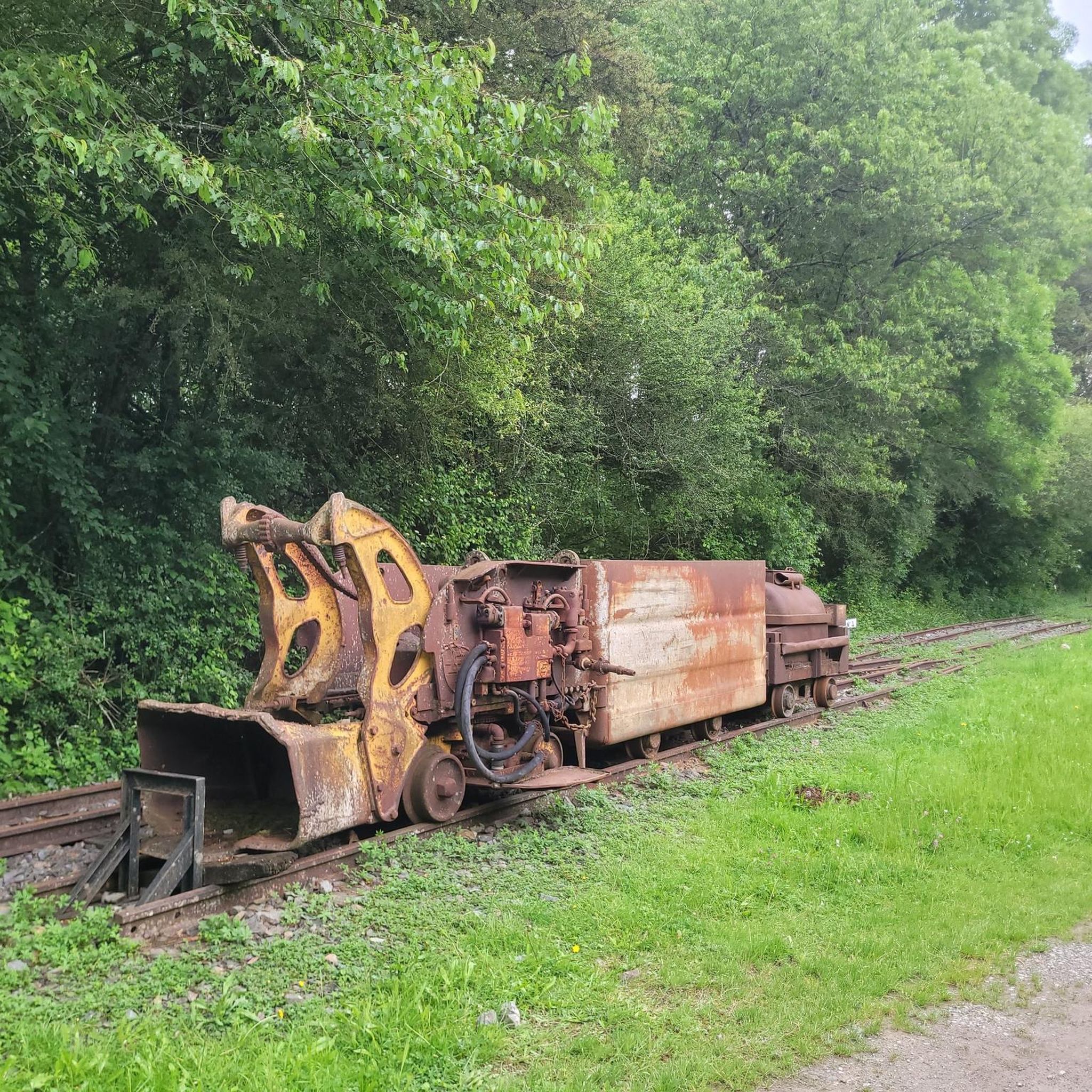
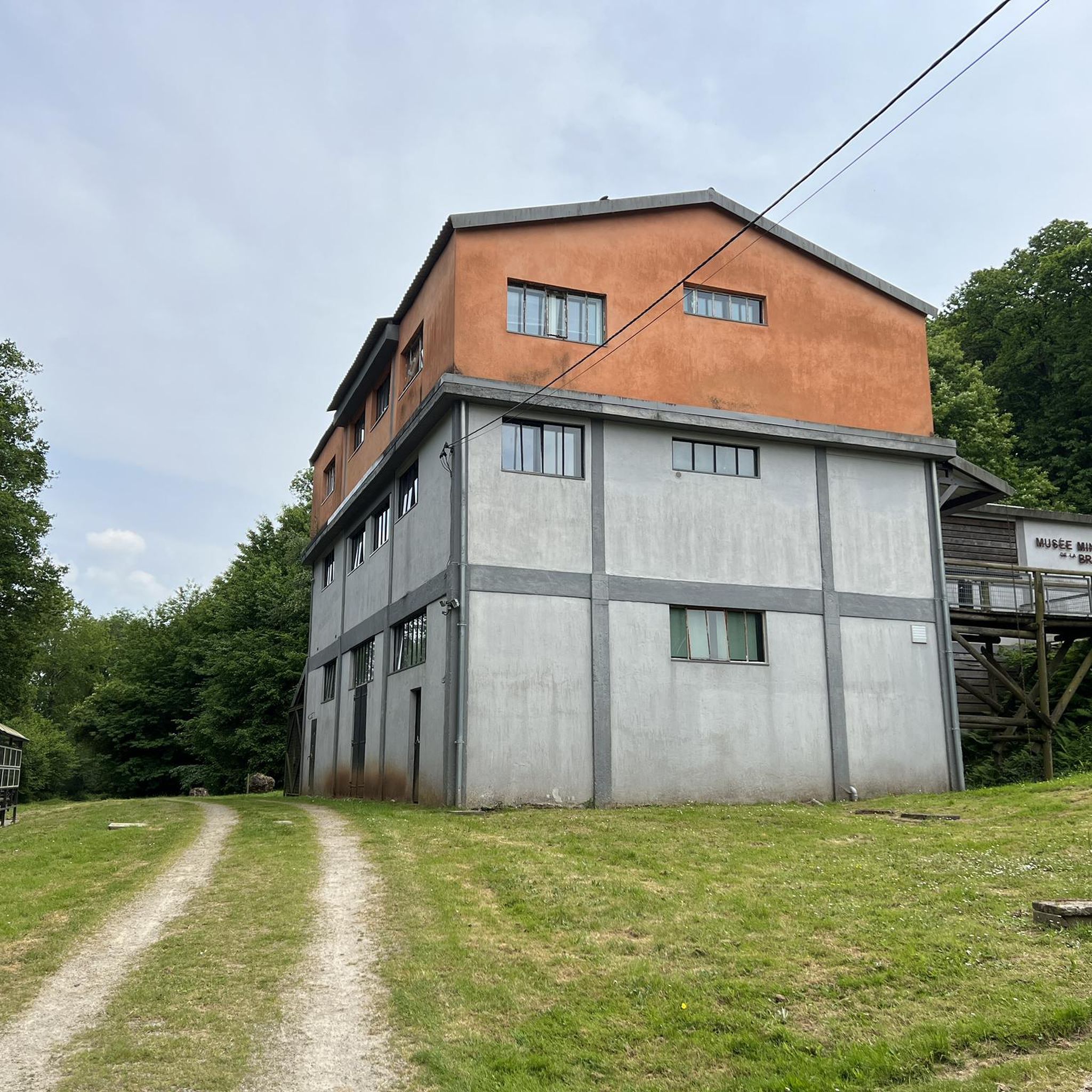
Several points of interest can be found along or near the trails. You might encounter the Greenway from Châteaubriant to Rougé, the scenic Choisel Pond, or the historical Musée des Mines de la Brutz. Some routes, like the Châteaubriant Castle – Musée des Mines de la Brutz loop from Malaunay, specifically pass by such attractions.
Are there any loop mountain bike trails around Soulvache?
Yes, many of the mountain bike trails around Soulvache are designed as loops. For instance, you can try the Mountainbike loop from Thourie, a 44.3 km route, or the Étang de la Forêt d’Araize loop from Noyal-sur-Brutz, which is 26.7 km long and offers scenic views around the pond.
What do other mountain bikers say about the trails in Soulvache?
The mountain bike routes in Soulvache are highly rated by the komoot community, with an average score of 4.2 stars from over 40 reviews. Riders often praise the varied terrain through rural landscapes and the scenic views, especially around bodies of water.
Are there any mountain bike trails that go through forested areas near Soulvache?
While Soulvache itself is largely agricultural, the wider region includes forests such as Forêt de Chevré and Forêt du Pertre within a reasonable distance. Some routes, like the Étang de la Forêt d’Araize loop from Noyal-sur-Brutz, incorporate forested sections or areas around natural features like ponds that are often bordered by trees.
What is the best time of year for mountain biking in Soulvache?
The Pays de la Loire region generally offers pleasant conditions for cycling from spring through autumn. While specific weather conditions vary, these seasons typically provide comfortable temperatures and drier trails, making them ideal for exploring the rural and riverside routes around Soulvache.
Are there any challenging mountain bike trails for advanced riders?
While most routes are easy to moderate, there is at least one difficult mountain bike trail available around Soulvache for more experienced riders. The region's moderate elevation changes mean that challenging routes often incorporate longer distances or more technical sections rather than extreme climbs.
Can I find mountain bike trails that include water features like lakes or rivers?
Yes, the region around Soulvache is characterized by numerous *étangs* (ponds/lakes) and rivers. The Brutz and Semnon rivers form parts of Soulvache's borders, and routes like the Étang de la Forêt d’Araize loop from Noyal-sur-Brutz specifically feature paths around these scenic bodies of water.
How long do mountain bike trails around Soulvache typically take to complete?
Trail durations vary depending on length and difficulty. For example, the Mountainbike loop from Thourie, at 44.3 km, typically takes around 3 hours 12 minutes, while the longer Châteaubriant Castle – Musée des Mines de la Brutz loop from Malaunay (62.7 km) can take about 3 hours 58 minutes.
Most popular attractions around Soulvache

Get inspired with the komoot mobile app


Explore more
Browse the best MTB trails in other regions.
