The best mountain hikes around Steinbach
4.5
(5)
20
hikers
6
hikes
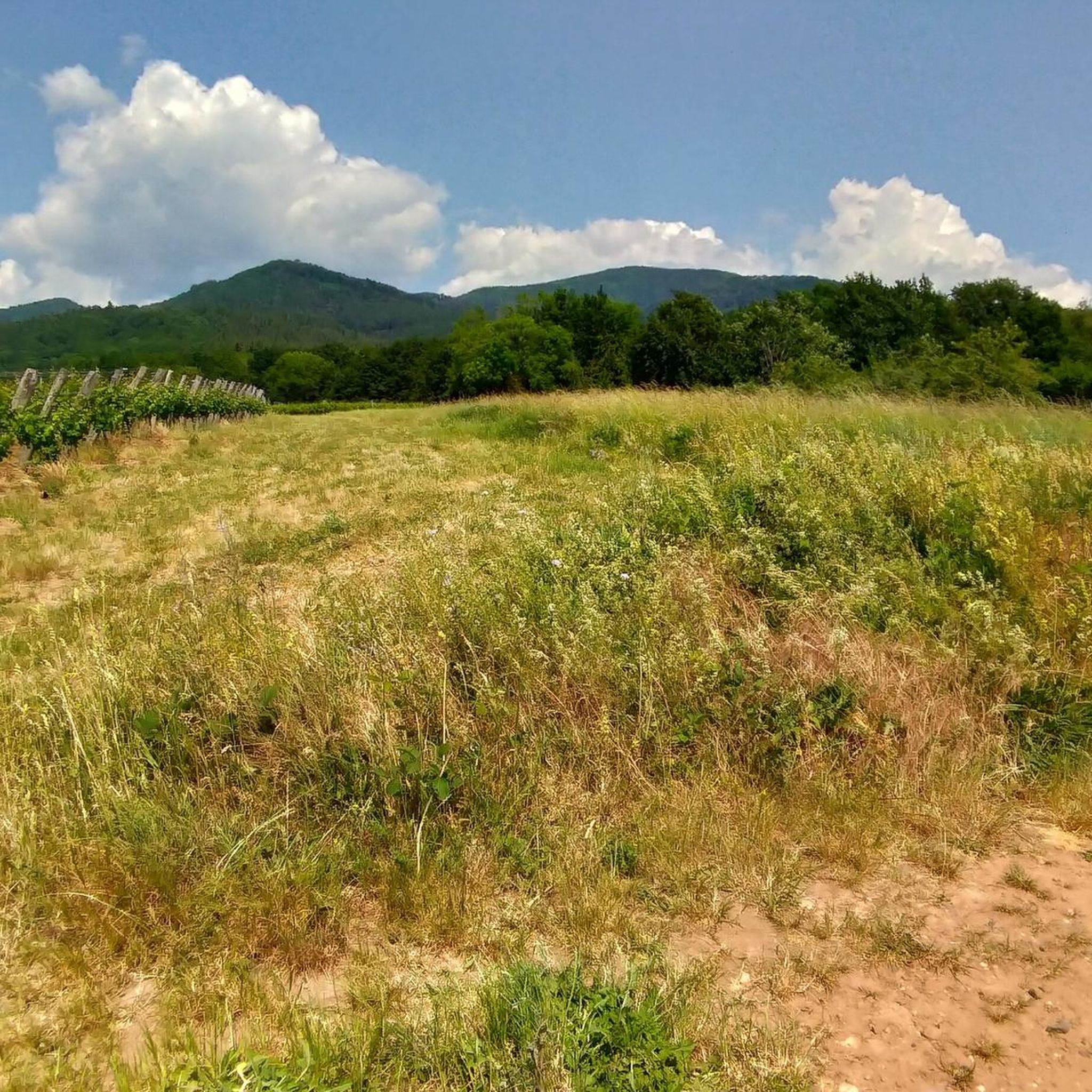
Mountaineering routes Steinbach are found in a region characterized by forested mountains and elevated passes, offering diverse terrain for alpine pursuits. The landscape features prominent summits like Grand Ballon, providing extensive panoramic views across the surrounding areas. Routes often traverse through dense woodlands and open mountain ridges, with varying elevation gains. This area provides opportunities for both moderate and challenging mountaineering experiences.
Best mountaineering routes around Steinbach
- The most popular mountaineering route is Grand Ballon – Panoramic view from the…
Last updated: October 27, 2026
5.0
(2)
7
hikers
Moderate mountaineering route. Mostly walkable paths. Sure-footedness required.
4
hikers
15.5km
04:57
640m
640m
Moderate mountaineering route. Good fitness required. Easily walkable paths.

5.0
(3)
6
hikers
Moderate mountaineering route. Mostly walkable paths. Sure-footedness required.
4
hikers
26.8km
08:45
1,200m
1,200m
Hard mountaineering route. Very good fitness required. Easily walkable paths.
5.0
(1)
2
hikers
15.0km
05:10
820m
820m
Hard mountaineering route. Very good fitness required. Easily walkable paths.
Our route recommendations are based on thousands of hikes, rides, and runs completed by other people on komoot.
Start today with a free account
Your next adventure awaits.

Tips from the Community

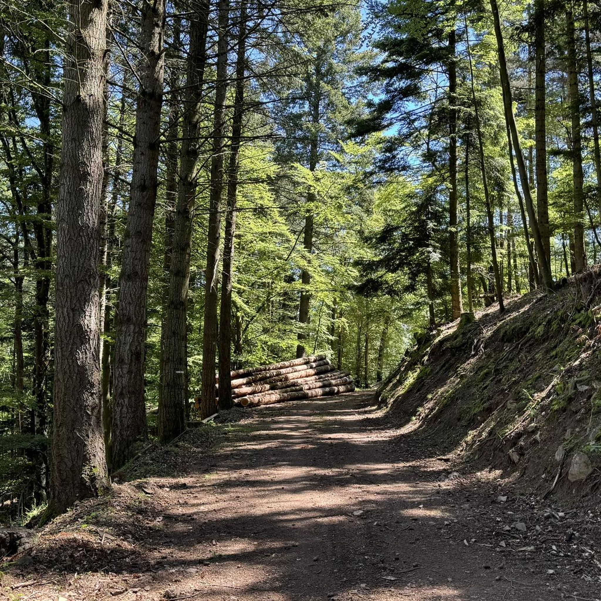
The Col du Hunsrück (748 m) is a quiet and wooded pass above Willer-sur-Thur. The steady climb and beautiful nature make this a pleasant classic in the southern Vosges, with connections to both the Thur and Dollervallei valleys.
6
0
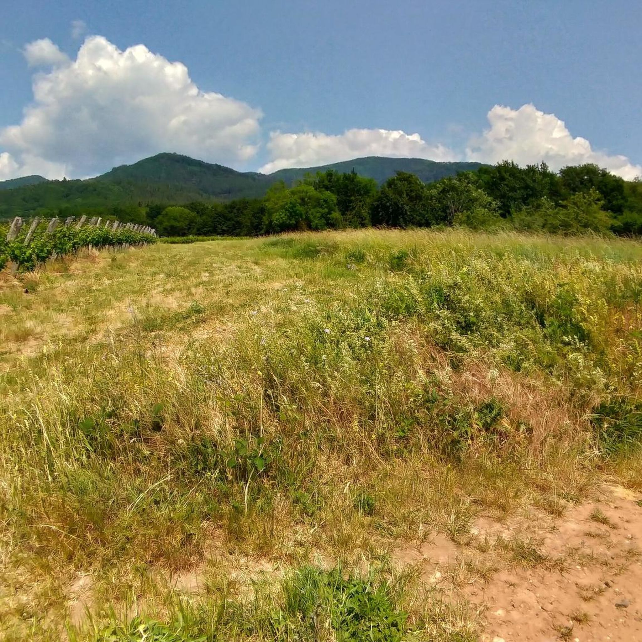
When you drive from the Route des Crêtes towards Le Grand Ballon, you pass the Col du Haag (1233 m) almost unnoticed. Yet, this pass marks a special point on the southern flank of the highest mountain in the Vosges. Here, steep roads from the Thurdal leave the wooded slopes and reach the open heights of the massif. From the col, a typical Vosges landscape unfolds with mountain meadows, scattered farms, and sweeping views. The proximity of the Grand Ballon is felt everywhere: the imposing summit towers above the pass and forms the natural goal of the final climbing kilometers. For cyclists, the Col du Haag is mainly known as the point where difficult climbs from the valleys converge before the road continues to rise to the highest point of the Vosges.
6
0

Dedicated to the blue devils (diables bleus), who had to lose their lives at Hartmannswiller Kopf = man-eater head (mangeurs d'hommes) = elite troop of the French, the Chasseurs Alpines. 30,000 victims, Germans and French alike. Compare with Douaumont (Verdun) = Symbol of horror.
0
0

360° panorama and view of the Alps on a clear day (especially in winter).
0
0

Beautiful hike and beautiful viewpoint
1
0


At the summit of the Grand-Ballon stands the monument of the Blue Devils, erected on the initiative of the French Alpine Club and the Vosges Club in homage to the victims of the Alpine hunter battalions engaged in the fighting of the 1914-1918 war.
2
0
Frequently Asked Questions
What types of mountaineering routes can I find in Steinbach?
Steinbach offers a diverse range of mountaineering routes, characterized by forested mountains and elevated passes. You'll find options from moderate ascents to more challenging, longer routes that traverse dense woodlands and open mountain ridges. The region is known for its impressive mountains and forests, providing an ideal backdrop for alpine adventures with spectacular panoramas.
Are there any challenging mountaineering routes in Steinbach?
Yes, Steinbach features several challenging mountaineering routes. For instance, the Hundsruck Pass – Vogelstein (Bird Rock) loop from Willer-sur-Thur is a difficult 16.6-mile trail that takes about 8 hours 44 minutes to complete, leading through varied terrain including dense forests and open sections. Another difficult option is the Viewpoint loop from Wattwiller, covering 14.8 miles with significant elevation gain.
What are the typical elevation gains on mountaineering routes in Steinbach?
The elevation gains vary significantly across routes. Moderate routes might have around 180-640 meters of ascent, such as the Hundsruck Pass – Panoramic view loop from Bourbach-le-Haut with over 640 meters. More challenging routes, like the Hundsruck Pass – Vogelstein (Bird Rock) loop from Willer-sur-Thur, can involve over 1200 meters of elevation gain, offering substantial climbs.
What kind of natural features and viewpoints can I expect to see on these routes?
Mountaineering routes in Steinbach offer spectacular panoramas and breathtaking views, especially from prominent summits like Grand Ballon, which provides extensive views across the surrounding areas. You'll also encounter diverse terrain including dense forests, open mountain ridges, and impressive rock formations. Other notable viewpoints include the Viewpoint at the summit of Vieil Armand and the View from the Summit Cross of Hartmannswillerkopf.
Are there any circular mountaineering routes available?
Yes, many mountaineering routes in Steinbach are designed as circular loops, allowing you to start and end at the same point. Examples include the Grand Ballon – Panoramic view from the Grand Ballon summit loop from Grand Ballon and the Grand Ballon – Panoramic view from the Grand Ballon summit loop from Col du Grand Ballon. These routes offer varied terrain and scenic vistas as you complete the loop.
What do other mountaineers say about the routes in Steinbach?
The mountaineering routes in Steinbach are highly rated by the komoot community, with an average score of 4.5 stars from 5 reviews. More than 20 mountaineers have used komoot to explore the varied terrain, often praising the spectacular panoramas and the diverse challenges offered by the trails.
What is the best time of year for mountaineering in Steinbach?
While specific seasonal advice for Steinbach is not detailed, regions like Steinbach am Ziehberg in Austria are particularly beautiful in spring, especially routes running through forests. Generally, late spring through early autumn offers the most favorable conditions for mountaineering, with less snow and more stable weather. Winter mountaineering is possible but requires specific gear and awareness of conditions.
Are there any historical sites or castles near the mountaineering trails?
Yes, the region around Steinbach offers several historical sites and castles that can be explored. You might find attractions such as The Witch's Eye (Engelbourg Castle), the Musée de la Porte de Thann, or the Ruins of Freundstein Castle. These sites provide a glimpse into the region's rich history and can be a great addition to your mountaineering trip.
Are there any specific climbing opportunities in the Steinbach region?
While the primary focus is mountaineering, the broader Steinbach region, particularly Steinbach am Ziehberg in Austria, offers climbing opportunities. This includes training for all skill levels, multi-pitch walls, and boulder gardens. The 'Ziehbergfelsen' is noted as an impressive rock formation suitable for sport climbing with routes of various difficulty levels.
How many mountaineering routes are available in Steinbach?
There are at least 6 distinct mountaineering routes detailed for the Steinbach region, offering a range of experiences from moderate to difficult. These routes provide diverse terrain for alpine pursuits, catering to various skill levels.
Are there any routes suitable for beginners in mountaineering?
While the guide primarily lists moderate to difficult routes, the region offers options for different ability levels. Routes like the Grand Ballon – Panoramic view from the Grand Ballon summit loop from Grand Ballon, at 2.2 miles and taking about 1 hour 25 minutes, could be a good starting point for those new to mountaineering, offering a taste of the alpine environment without extreme difficulty.
Can I find amenities like cafes or accommodation near the trails?
While specific cafes or accommodation directly on the trails are not detailed in the guide, the region around Steinbach, particularly in areas like Steinbach am Ziehberg, is known to have local amenities. It's advisable to check local listings for cafes, pubs, and accommodation in nearby towns before your trip to plan your stops.
Most popular routes around Steinbach
Most popular attractions around Steinbach

Get inspired with the komoot mobile app


Explore more
Browse the best Mountain Hikes & Routes in other regions.
