The best running trails around Steinbach
4.5
(215)
8,389
runners
10
runs
Jogging around Steinbach offers a diverse range of landscapes, from flat tallgrass prairie to treed aspen parkland and mixed forests. The region is situated on the eastern edge of the Canadian Prairies, providing varied scenic backdrops for runners. Gentle prairie trails and rolling terrain characterize many routes, with features like Steinbach Creek adding to the local geography.
Best jogging routes around Steinbach
- The most popular jogging route is Running loop from Vieux-Thann, a 4.2 miles (6.8 km) trail that…
Last updated: October 1, 2026
4.6
(5)
73
runners
11.5km
01:24
340m
340m
Hard run. Very good fitness required. Mostly paved surfaces. Suitable for all skill levels.
3.0
(1)
47
runners
18.2km
02:17
740m
740m
Hard run. Very good fitness required. Mostly paved surfaces. Suitable for all skill levels.

38
runners
14.8km
02:00
740m
740m
Hard run. Very good fitness required. Mostly paved surfaces. Suitable for all skill levels.
27
runners
10.8km
01:25
500m
500m
Hard run. Very good fitness required. Mostly paved surfaces. Suitable for all skill levels.
16
runners
11.0km
01:23
430m
430m
Hard run. Very good fitness required. Mostly paved surfaces. Suitable for all skill levels.
Get access to more routes and recommendations from other explorers.
Already have an account?
Our route recommendations are based on thousands of hikes, rides, and runs completed by other people on komoot.
Start today with a free account
Your next adventure awaits.

Tips from the Community


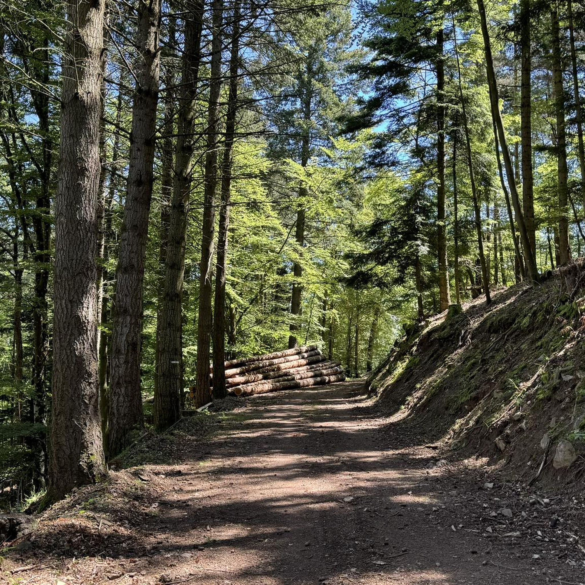
The Rehbrunnel Shelter, altitude 759m The first Rehbrunnel Shelter was built in 1988 by the City of Thann with the assistance of the ONF (French Forestry Office). Mr. Jacques Fimbel, a volunteer with the Thann Vosges Club, designed the plans. The shelter was known among hikers for its octagonal shape and prime location. First renovated in 1999, the shelter was damaged by the elements and had suffered wear and tear over time. Therefore, the City of Thann launched a new construction project, in collaboration with the Gustave Eiffel Building School in Cernay, the Thann Vosges Club, and the ONF (French Forestry Office). The shelter was dismantled in June 2024, and after a year of work, the new Rehbrunnel Shelter was inaugurated on May 27, 2025.
0
0

A brand-new wooden shelter. Inside, there's a stove and three seating areas. There's barely enough room for a bivouac on the floor, as the tables are attached to the ground and there's little space between the benches. However, you could still spread out a bit. I also managed to set up my single-person inner tent right next to the door. There's a well with drinking water 150 meters below the hut! It's a perfect spot for a night, and the view from this rocky, spiritual spot down into the valley toward Thann is outstanding!
0
0

The Château du Herrenfluh is a medieval ruin at an altitude of 858 metres. It was built in 1312 by Johan von Sankt Amarin, nicknamed Nordwind, and served as a lookout post for the princes-abbatons of Murbach. Due to its strategic location, the castle offered a panoramic view over Alsace, all the way to the foothills of the Jura. In 1376, it was captured by English mercenaries and later, in 1468, destroyed by the Swiss. During the First World War, the site was again used as a French observation post. Today, some ruins are still visible, and volunteers are working to preserve the remains. It is an interesting historical site along the Route des Crêtes.
7
0

Close to the Grand Ballon, the Molkenrain refuge is ideally located facing the Alps. The refuge is open continuously from June 15 to September 15 and remains accessible every weekend and public holiday outside the high season. You will also find a bar and a restaurant a few meters away, at the farm inn of the same name.
1
0

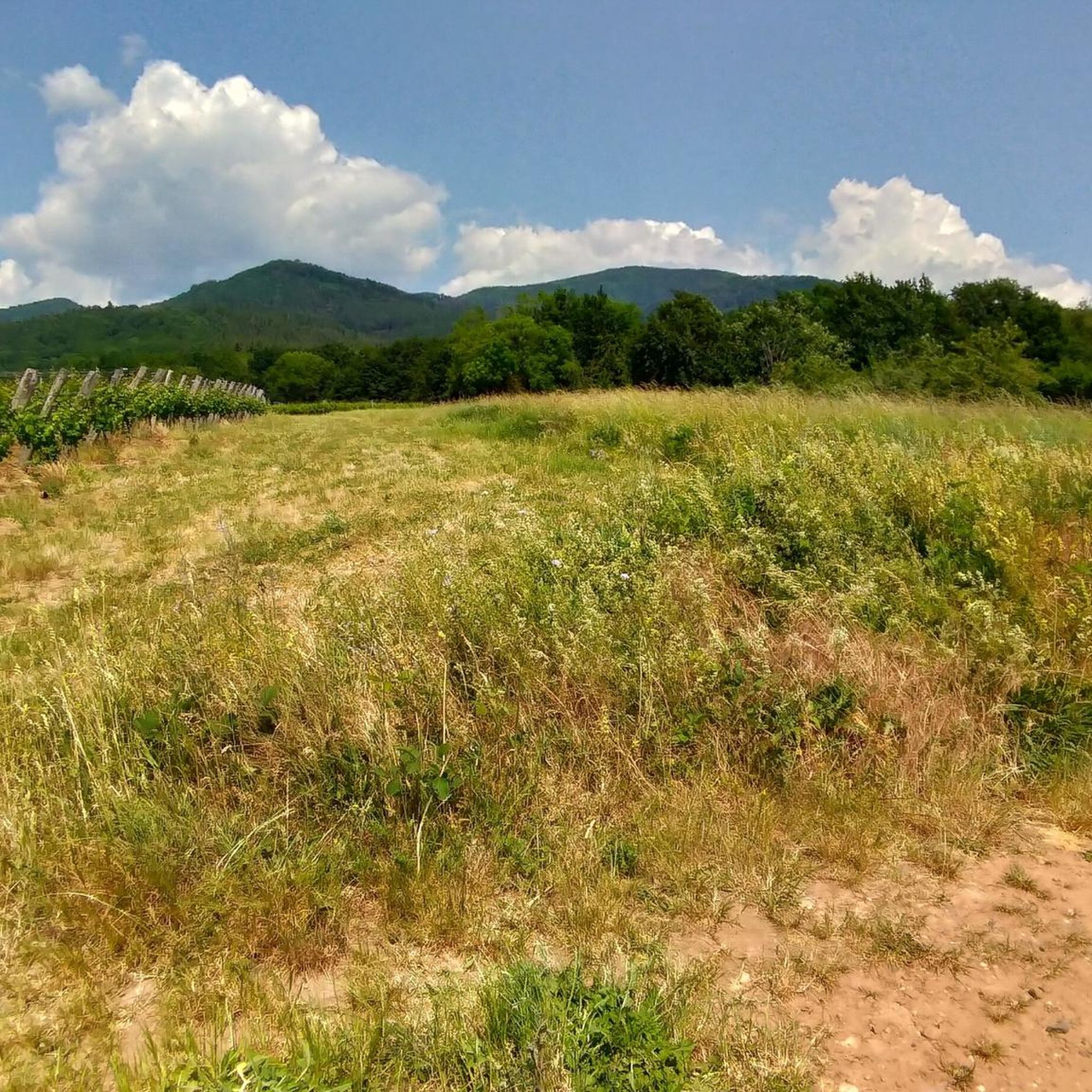
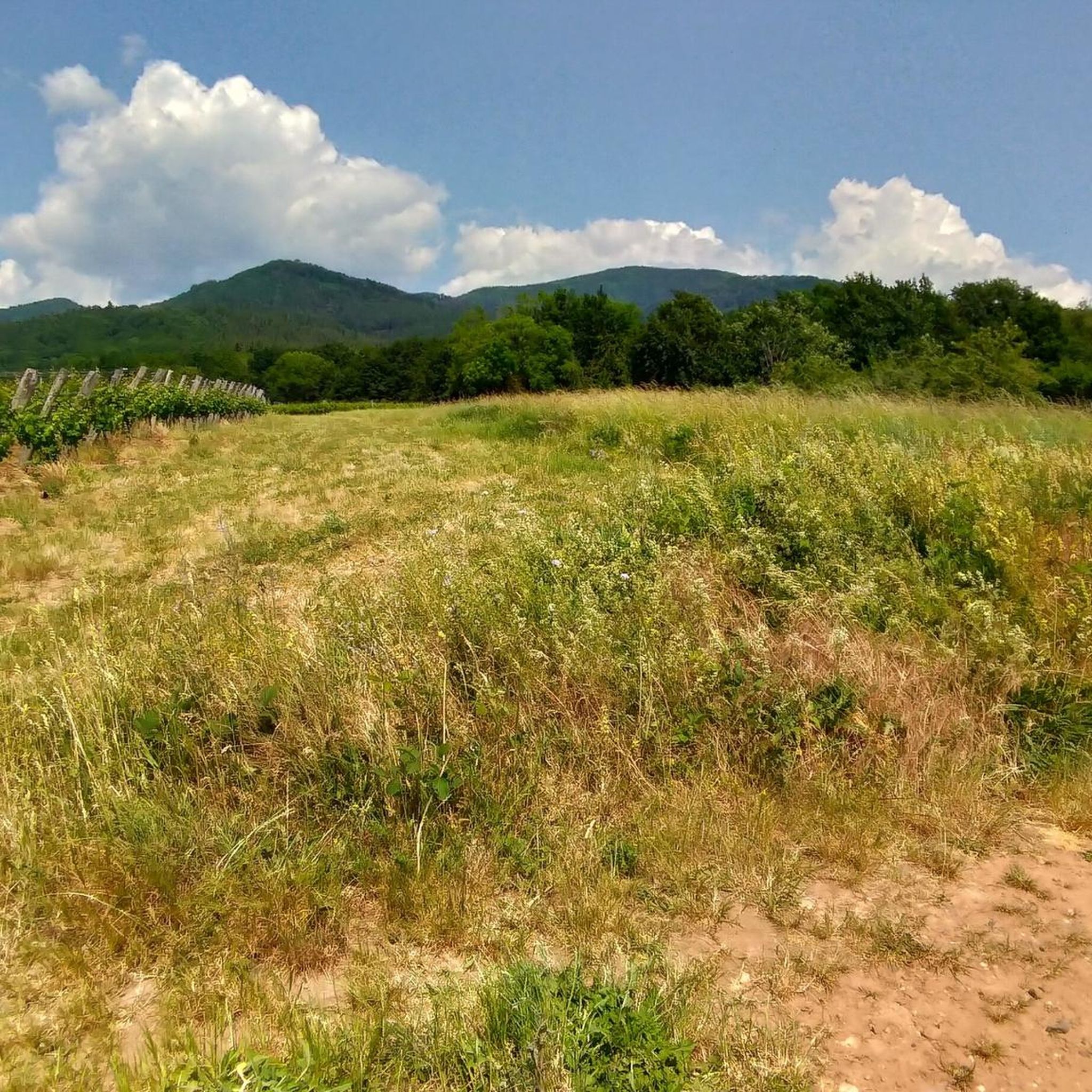
The Rehbrunnel viewpoint, nestled in the Vosges forests, offers a magnificent panorama of the surrounding valleys and mountains. From this point, the view extends over dense forests, steep ridges, and on a clear day, you can admire the distant landscapes that stretch as far as the eye can see.
1
0

Wonderful alpine feeling up here, especially when you have to walk through the herd of cows. Rewarding view of the surrounding area.
1
0

Frequently Asked Questions
How many running routes are available around Steinbach?
There are over 400 running routes available around Steinbach, offering a wide variety of options for all skill levels. The komoot community has explored 429 routes in total.
What kind of terrain can I expect on running trails in Steinbach?
Running trails in Steinbach offer a diverse range of landscapes. You can expect gentle prairie trails, rolling terrain, and paths through treed aspen parkland and mixed forests. The region is situated on the eastern edge of the Canadian Prairies, providing varied scenic backdrops.
Are there running routes suitable for beginners in Steinbach?
Yes, Steinbach offers several routes suitable for beginners. There are 23 easy running routes available, perfect for those just starting out or looking for a relaxed run.
What is the overall difficulty level of running trails in Steinbach?
The running trails in Steinbach cater to all difficulty levels. You'll find 23 easy routes, 225 moderate routes, and 181 difficult routes, ensuring there's a challenge for every runner.
Are there any circular running routes in the Steinbach area?
Yes, many running routes in Steinbach are circular. The city's
Steinbach Heritage Trail
is a scenic loop connecting various parks and natural spaces. Additionally, the Eastern Region surrounding Steinbach offers named local loops like the Green Loop (6.3 km) and Purple Loop (5.4 km) which are suitable for jogging.Are there dog-friendly running trails in Steinbach?
While specific dog-friendly designations for all routes aren't listed, many of Steinbach's parks and natural areas, such as
A.D. Penner Park
andL.A. Barkman Kinsmen Park
, are generally welcoming to leashed dogs. It's always a good idea to check local park regulations before heading out.Can I find family-friendly running paths in Steinbach?
Absolutely. Parks like
Rosenthal Nature Park
with its walking trails and theSteinbach Heritage Trail
are excellent choices for family-friendly runs. These areas often feature constructed wetlands and green spaces, providing a pleasant environment for all ages.What landmarks or points of interest can I see while running in Steinbach?
While running in Steinbach, you can explore various parks and natural features. The
Steinbach Heritage Trail
offers a self-guided tour combining exercise with historical exploration. You might also encounter features like Steinbach Creek, or visit parks such asA.D. Penner Park
andL.A. Barkman Kinsmen Park
. For more distant exploration, the Ballon Lake and Michelbach Lake areas offer scenic views.Are there any trails with significant elevation gain for a more challenging run?
Yes, for those seeking a challenge, Steinbach offers routes with significant elevation gain. The Molkenrain Refuge loop from Steinbach is a difficult 18.1 km path featuring substantial elevation gain, traversing varied terrain towards the refuge. Another challenging option is the View from Refuge du Molkenrain loop from Steinbach.
Where can I find parking for running trails in Steinbach?
Many of Steinbach's city parks, such as
A.D. Penner Park
andL.A. Barkman Kinsmen Park
, typically offer parking facilities. For trails within the city, designated pathways often have accessible parking nearby. For trails further afield, like those in Sandilands Provincial Forest, specific trailheads usually provide parking.What do other runners enjoy the most about jogging in Steinbach?
The running routes in Steinbach are highly rated by the komoot community, with an average score of 4.5 stars from over 130 reviews. Runners often praise the diverse landscapes, from prairie trails to mixed forests, and the variety of routes available for all ability levels.
What is the best time of year to go running in Steinbach?
Steinbach offers great running opportunities throughout the year. Spring and fall provide pleasant temperatures and beautiful scenery as the prairie and forests change colors. Summer is also popular, though it can be warm, while winter running is possible on cleared paths, offering a unique experience in the snow-covered landscape.
Most popular routes around Steinbach
Most popular attractions around Steinbach

Get inspired with the komoot mobile app


Explore more
Browse the best Running Trails & Routes in other regions.
