The best mountain hikes around Murbach
4.3
(4)
21
hikers
13
hikes
Mountaineering around Murbach offers challenging routes within the Ballons des Vosges Regional Nature Park, situated in a deep valley surrounded by extensive forests. The region is characterized by its mountainous setting, featuring significant elevation changes, waterfalls, and distinctive pink sandstone formations. The majestic Grand Ballon, the highest peak in the Vosges mountains at 1,424 meters (4,672 ft), dominates the landscape and provides a focal point for many strenuous ascents.
Best mountaineering routes around Murbach
- The most popular mountaineering route is…
Last updated: October 26, 2026
5.0
(2)
7
hikers
Moderate mountaineering route. Mostly walkable paths. Sure-footedness required.
3
hikers
13.9km
04:10
430m
430m
Moderate mountaineering route. Good fitness required. Easily walkable paths.

3.0
(1)
4
hikers
14.7km
05:11
790m
790m
Hard mountaineering route. Very good fitness required. Mostly walkable paths. Sure-footedness required.
5.0
(3)
6
hikers
Moderate mountaineering route. Mostly walkable paths. Sure-footedness required.
4
hikers
26.8km
08:45
1,200m
1,200m
Hard mountaineering route. Very good fitness required. Easily walkable paths.
Get access to more routes and recommendations from other explorers.
Already have an account?
Our route recommendations are based on thousands of hikes, rides, and runs completed by other people on komoot.
Start today with a free account
Your next adventure awaits.


Tips from the Community

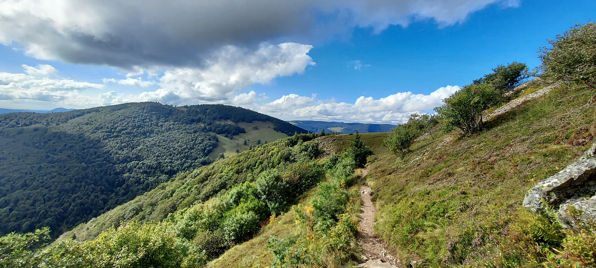
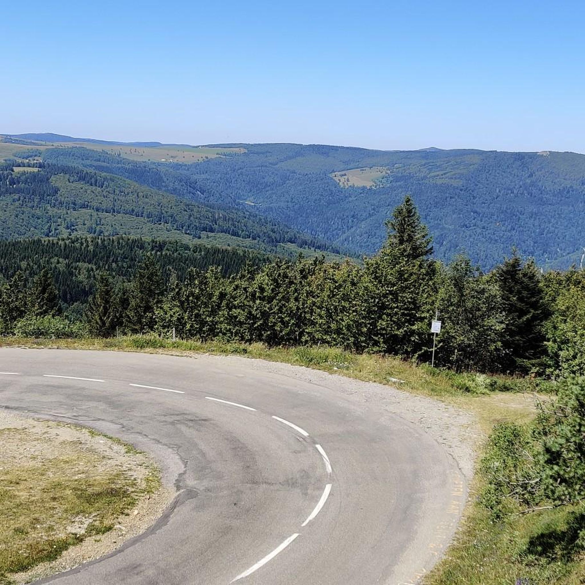
The Col du Hunsrück (748 m) is a quiet and wooded pass above Willer-sur-Thur. The steady climb and beautiful nature make this a pleasant classic in the southern Vosges, with connections to both the Thur and Dollervallei valleys.
6
0
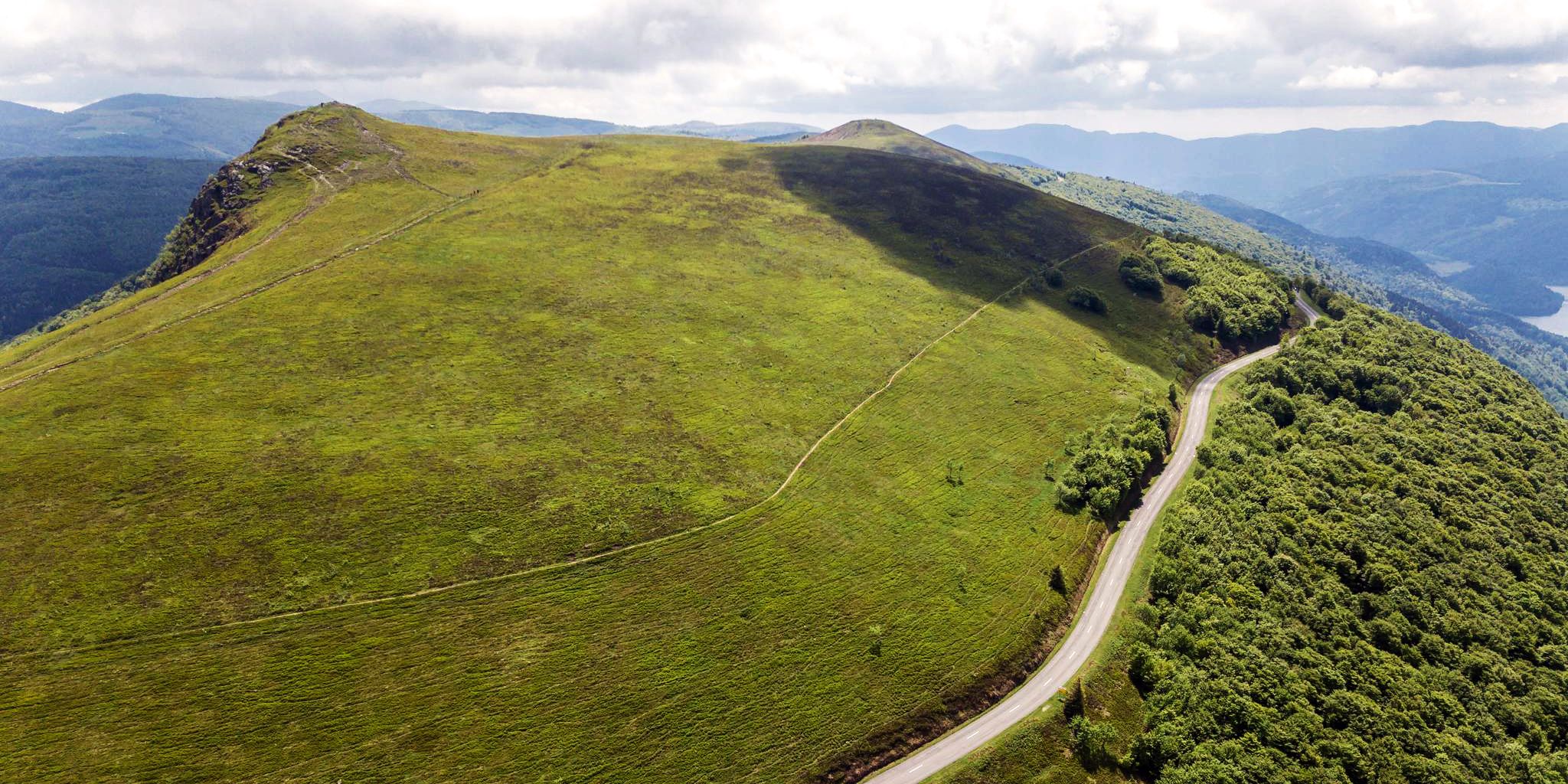
When you drive from the Route des Crêtes towards Le Grand Ballon, you pass the Col du Haag (1233 m) almost unnoticed. Yet, this pass marks a special point on the southern flank of the highest mountain in the Vosges. Here, steep roads from the Thurdal leave the wooded slopes and reach the open heights of the massif. From the col, a typical Vosges landscape unfolds with mountain meadows, scattered farms, and sweeping views. The proximity of the Grand Ballon is felt everywhere: the imposing summit towers above the pass and forms the natural goal of the final climbing kilometers. For cyclists, the Col du Haag is mainly known as the point where difficult climbs from the valleys converge before the road continues to rise to the highest point of the Vosges.
6
0
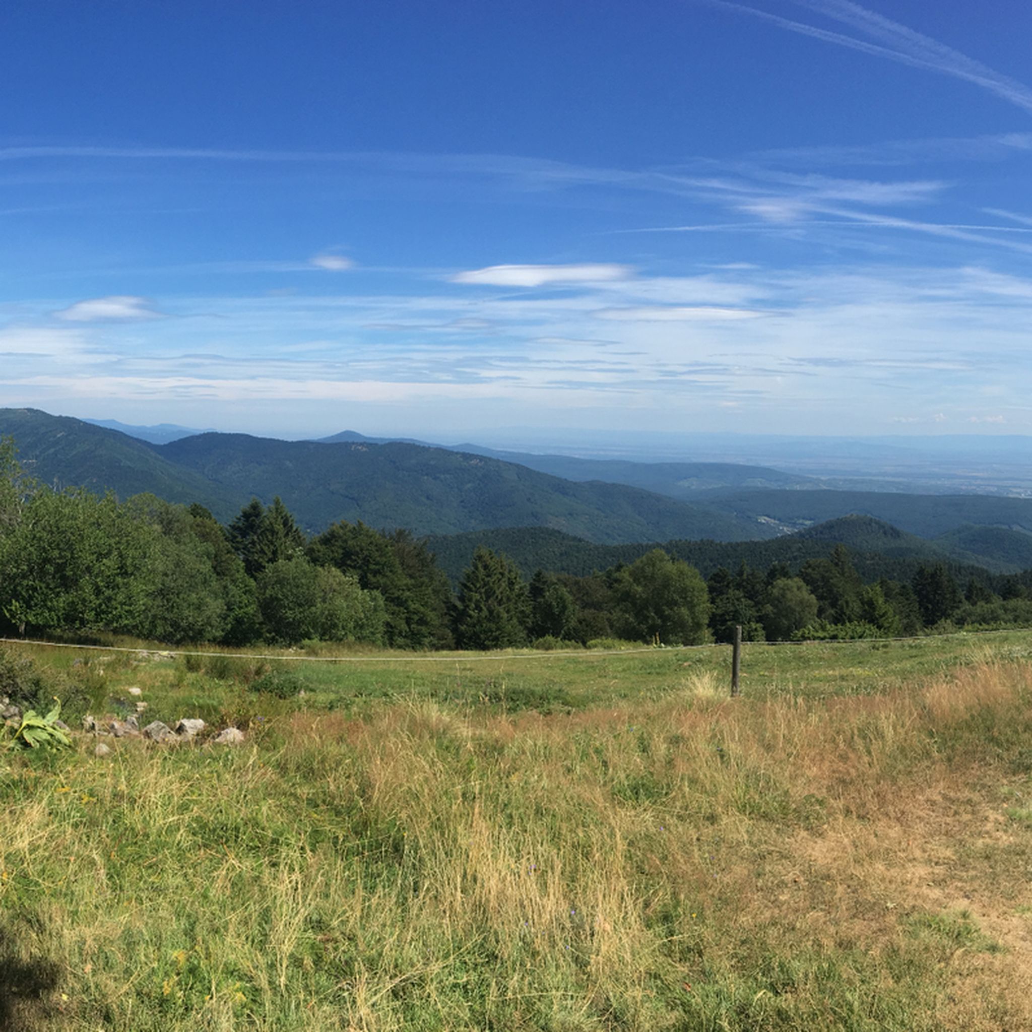
Le Markstein (1184 m) is meer dan alleen een kruispunt op de Route des Crêtes. Het is echter een echte bergpas en het hoogste punt van de oversteek tussen het Lauch- en Thurdal. Het ligt in het hart van het Vogezenmassief, midden een populair wintersportgebied dat nauw verbonden is met de Grand Ballon
6
0
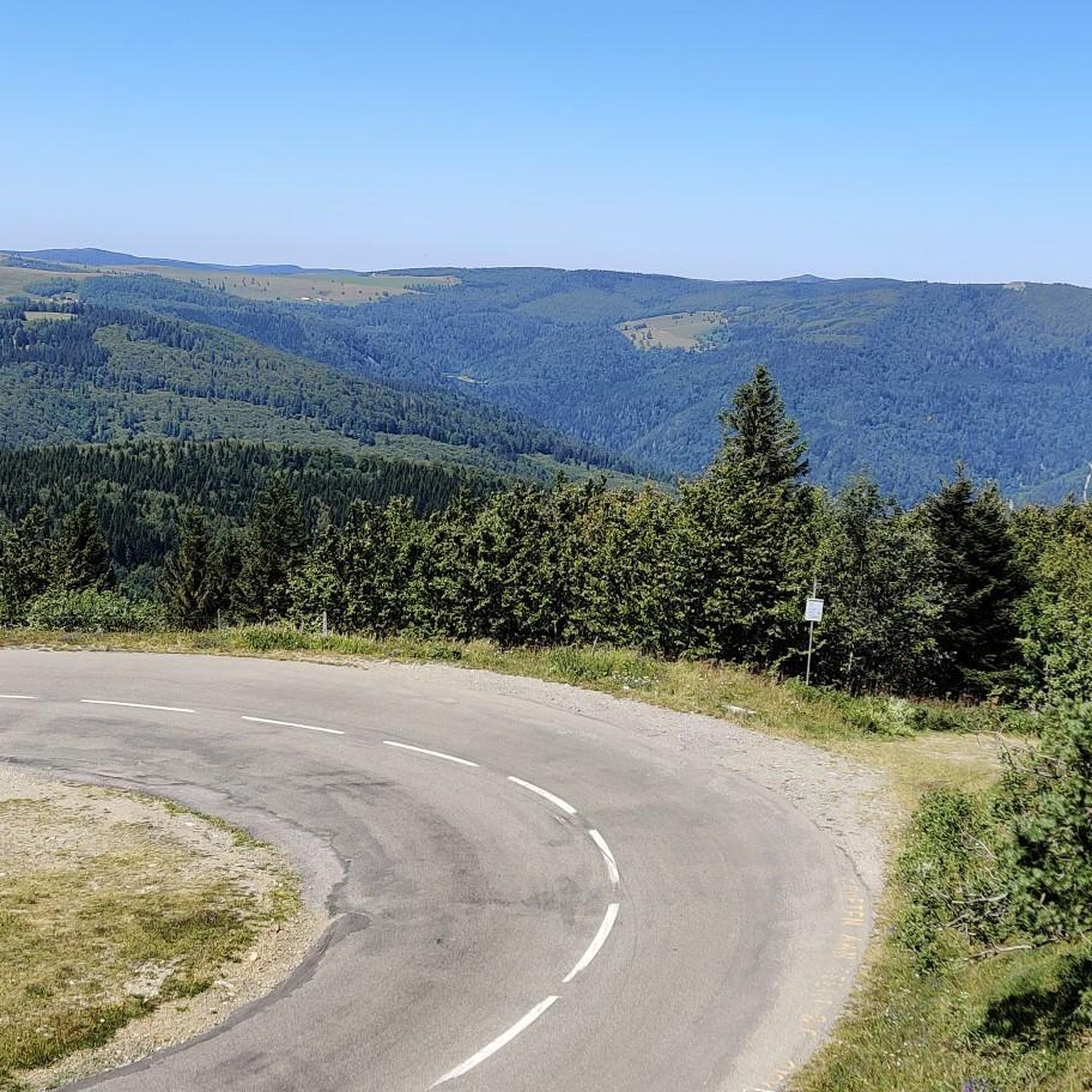
Le Markstein is a well-known winter sports and outdoor resort in the High Vosges, located at an altitude between 1020 and 1268 meters. The resort is situated directly on the iconic Route des Crêtes and forms an important crossroads and recreational area within the municipalities of Oderen and Lauw (near Wildenstein). At Le Markstein, you will find several traditional Fermes-Auberges and hotels where you can taste the local repas marcaire (a traditional hearty meal from the Vosges). Additionally, the location has gained significant fame in cycling; it is regularly the setting for tough mountain stages in the Tour de France (and the Tour de France Femmes), often as the final challenge after the climbs of Petit Ballon and Platzerwasel.
6
0
De Col van Hahnenbrunnen ligt op een open bergzadel in de Hoge Vogezen, tussen de Markstein‑kam en de Breitfirst. De pas bevindt zich rond 1180 meter hoogte en vormt een overgang tussen de bergweiden (chaumes) van de Route des Crêtes en de beboste hellingen die afdalen naar het dal van de Lauch. Het gebied is genoemd naar oude bergboerderijen (fermes d’altitude) die hier eeuwenlang vee hielden op de hooggelegen weiden.
6
0

Dedicated to the blue devils (diables bleus), who had to lose their lives at Hartmannswiller Kopf = man-eater head (mangeurs d'hommes) = elite troop of the French, the Chasseurs Alpines. 30,000 victims, Germans and French alike. Compare with Douaumont (Verdun) = Symbol of horror.
0
0


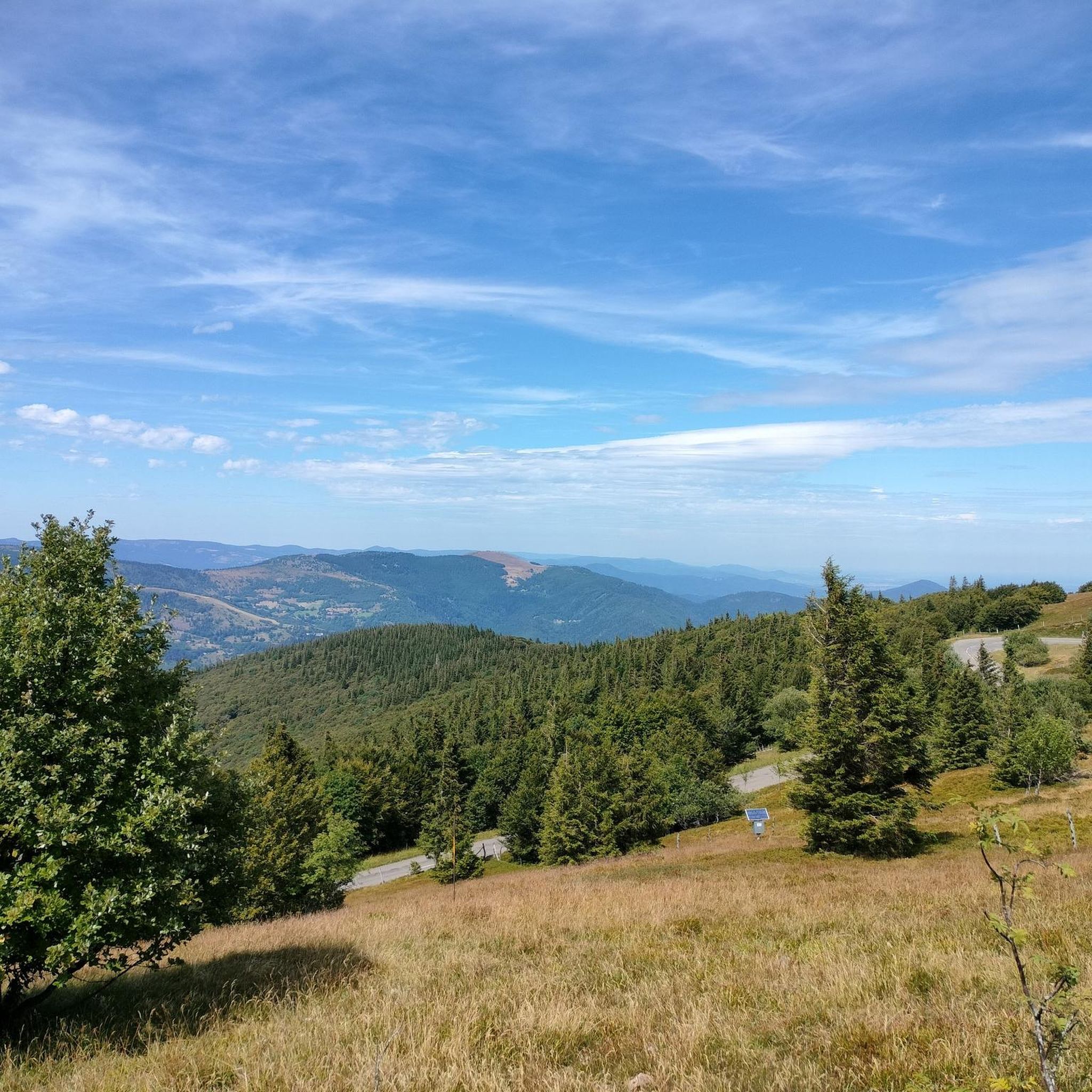
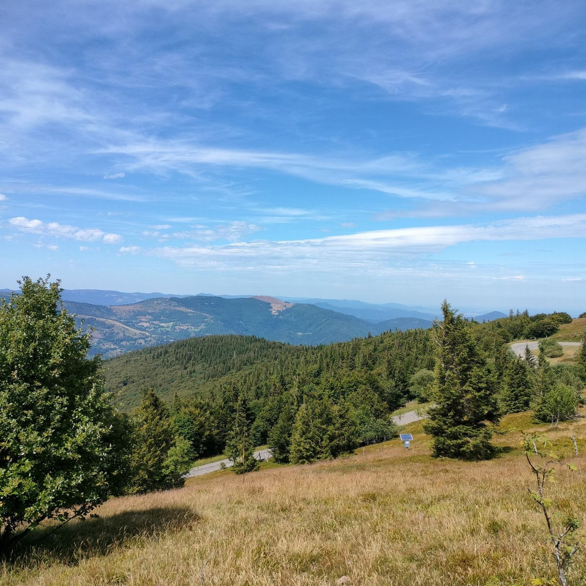
360° panorama and view of the Alps on a clear day (especially in winter).
0
0
Frequently Asked Questions
How many mountaineering routes are available around Murbach?
There are over a dozen mountaineering routes around Murbach, offering a range of experiences within the Ballons des Vosges Regional Nature Park. Most of these routes are rated as moderate, with a few more challenging options for experienced mountaineers.
Are there routes suitable for beginners or families?
While many routes in Murbach are considered challenging and require good physical fitness, there are some moderate options. For example, the Grand Ballon – Panoramic view from the Grand Ballon summit loop from Grand Ballon is a shorter loop that offers rewarding views without extreme difficulty. However, routes in this region generally involve significant elevation changes, so a basic level of fitness is always recommended.
What kind of natural features can I expect to see on the mountaineering routes?
Murbach's routes are rich in natural beauty. You'll encounter extensive forests, distinctive pink sandstone formations, and potentially waterfalls. The region is known for its 'ballons' – mountains with rounded summits – and offers panoramic views, especially from higher elevations like the Grand Ballon. You might also spot various wildlife along the paths.
Are there any circular mountaineering routes in the Murbach area?
Yes, several routes are designed as loops, allowing you to start and end at the same point. Examples include the Markstein – Lake Lauch loop from Le Markstein, which explores the scenic area around Lake Lauch, and the Grand Ballon – Panoramic view from the Grand Ballon summit loop from Col du Grand Ballon.
What are the best viewpoints along the mountaineering routes?
The summit of the Grand Ballon, the highest peak in the Vosges, offers magnificent panoramic views that can extend far into the Rhine Valley and even to the Alps on clear days. Another significant peak, Hohneck, also provides breathtaking vistas. You can also find viewpoints like the Viewpoint at the summit of Vieil Armand.
What is the best time of year for mountaineering in Murbach?
The warmer months, typically spring through autumn, are ideal for mountaineering in Murbach when trails are clear of snow. However, the region also offers opportunities for winter activities like snowshoeing, especially above 1,350 meters, where snow cover can be significant. Always check local conditions before heading out, particularly in shoulder seasons.
Are there any historical or cultural landmarks to explore near the routes?
Absolutely. The historic Abbaye de Murbach, founded in 728, is a significant attraction and often a starting point or feature of many hiking routes. Its Romanesque church, though partially in ruins, is impressive. The Hartmannswillerkopf National Monument is another notable landmark in the vicinity.
What do other mountaineers enjoy most about the Murbach routes?
The routes in Murbach are highly rated by the komoot community, with an average score of 4.3 stars. Reviewers often praise the challenging yet rewarding ascents, the extensive forests, and the stunning panoramic views from the 'ballons' like the Grand Ballon. The diverse terrain and well-maintained paths are also frequently highlighted.
Are dogs allowed on the mountaineering trails around Murbach?
Generally, dogs are welcome on trails in the Ballons des Vosges Regional Nature Park, but it's always best to keep them on a leash, especially in areas with wildlife or near grazing animals. Please ensure you clean up after your dog to preserve the natural environment for everyone.
Are there any places to eat or stay near the mountaineering trails?
Yes, you'll find options for refreshments and accommodation. For instance, the Kahlenwasen Farm Inn and the Grand Ballon Chalet Hotel are examples of places where you might find food or lodging. Murbach village itself and nearby towns also offer various amenities.
What is the difficulty level of the most challenging routes?
The most challenging routes, such as the Petit Ballon – Col du Hilsenfirst loop from Linthal or the Hundsruck Pass – Vogelstein (Bird Rock) loop from Willer-sur-Thur, are classified as 'difficult'. These routes involve significant elevation gains (up to 1200m) and longer distances, requiring good physical fitness and some alpine experience. They are demanding but offer immense rewards in terms of scenery and accomplishment.
Is public transport available to reach the trailheads in Murbach?
While Murbach is nestled in a valley, public transport options can be limited directly to all trailheads. It's advisable to check local bus schedules from larger towns in the Florival valley, such as Guebwiller, which may offer connections closer to Murbach. For ultimate flexibility, driving and utilizing designated parking areas near trail starts is often the most convenient option.
Most popular routes around Murbach
Most popular attractions around Murbach

Get inspired with the komoot mobile app


Explore more
Browse the best Mountain Hikes & Routes in other regions.
