The best walks and hikes around Murbach
4.6
(1520)
8,117
hikers
41
hikes
Hiking around Murbach offers diverse landscapes within the Vosges mountains, characterized by its position at the foot of the Grand Ballon. The region features the scenic Murbach Valley, also known as Florival, with lush greenery and extensive forests. Mountainous terrain, including features like the Col du Judenhut and Ebeneck, provides varied elevation and challenges for hikers.
Best hiking trails around Murbach
- The most popular hiking route is Our Lady of Loretto Chapel – Ruins of Hohrupf Castle loop from Murbach, a 4.6 miles (7.5 km) trail that takes 2 hours 45 minutes to complete. This moderate route offers views of Murbach Abbey and incorporates historical castle ruins.
- Another top favourite among local hikers is Grand Ballon – Ballon Lake loop from Murbach, a difficult 14.7 miles (23.6 km) path. This challenging route ascends to the Grand Ballon, the highest peak in the Vosges, and includes the picturesque Lac du Ballon.
- Local hikers also love the Grand Ballon – Blue Devils Monument loop from Col du Grand Ballon, a 4.1 miles (6.6 km) trail leading through mountainous terrain, often completed in about 2 hours 28 minutes.
- Hiking around Murbach is defined by the towering Grand Ballon, the verdant Murbach Valley, and dense woodlands. The network offers options for various ability levels, from moderate loops to difficult ascents.
- The routes in Murbach are highly rated by the komoot community with an average score of 4.6 stars from over 1100 reviews. More than 6500 hikers have used komoot to explore Murbach's varied terrain.
Last updated: September 28, 2026
4.7
(128)
505
hikers
8.49km
03:12
400m
400m
Moderate hike. Good fitness required. Mostly accessible paths. Sure-footedness required.
4.9
(70)
287
hikers
23.3km
08:22
1,110m
1,110m
Hard hike. Very good fitness required. Mostly accessible paths. Sure-footedness required.

4.7
(130)
473
hikers
Moderate hike. Great for any fitness level. Mostly accessible paths. Sure-footedness required.
4.8
(26)
130
hikers
7.45km
02:45
340m
340m
Moderate hike. Good fitness required. Mostly accessible paths. Sure-footedness required.
4.7
(20)
135
hikers
10.2km
03:30
450m
450m
Moderate hike. Good fitness required. Mostly accessible paths. Sure-footedness required.
Get access to more routes and recommendations from other explorers.
Already have an account?
Our route recommendations are based on thousands of hikes, rides, and runs completed by other people on komoot.
Start today with a free account
Your next adventure awaits.


Tips from the Community

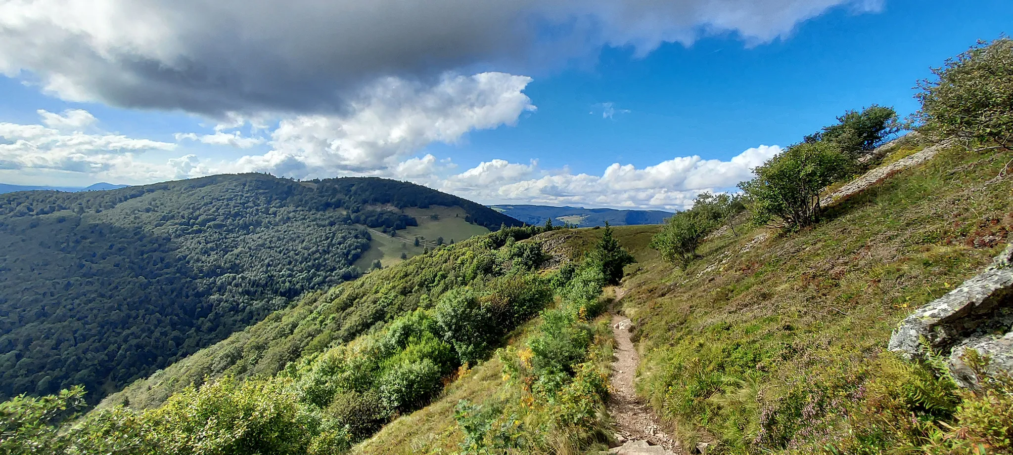
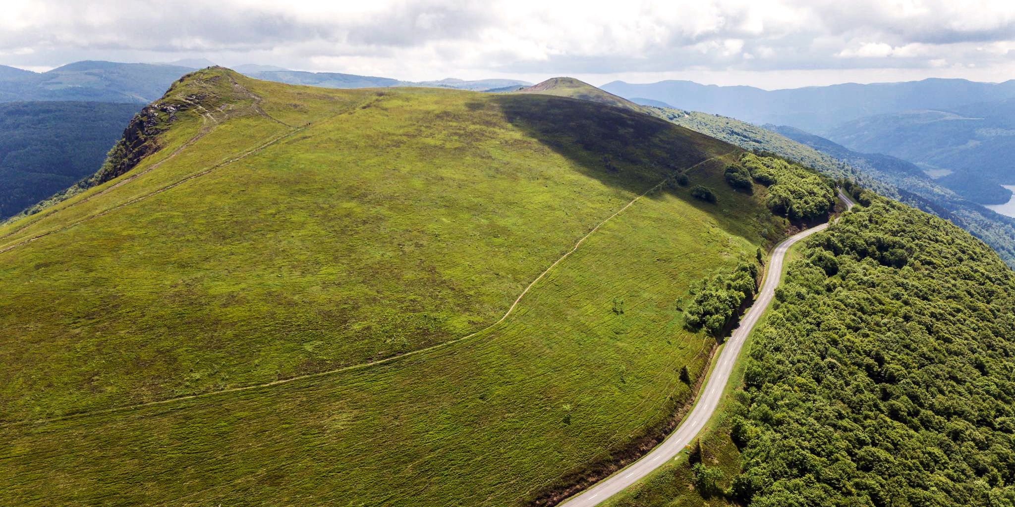
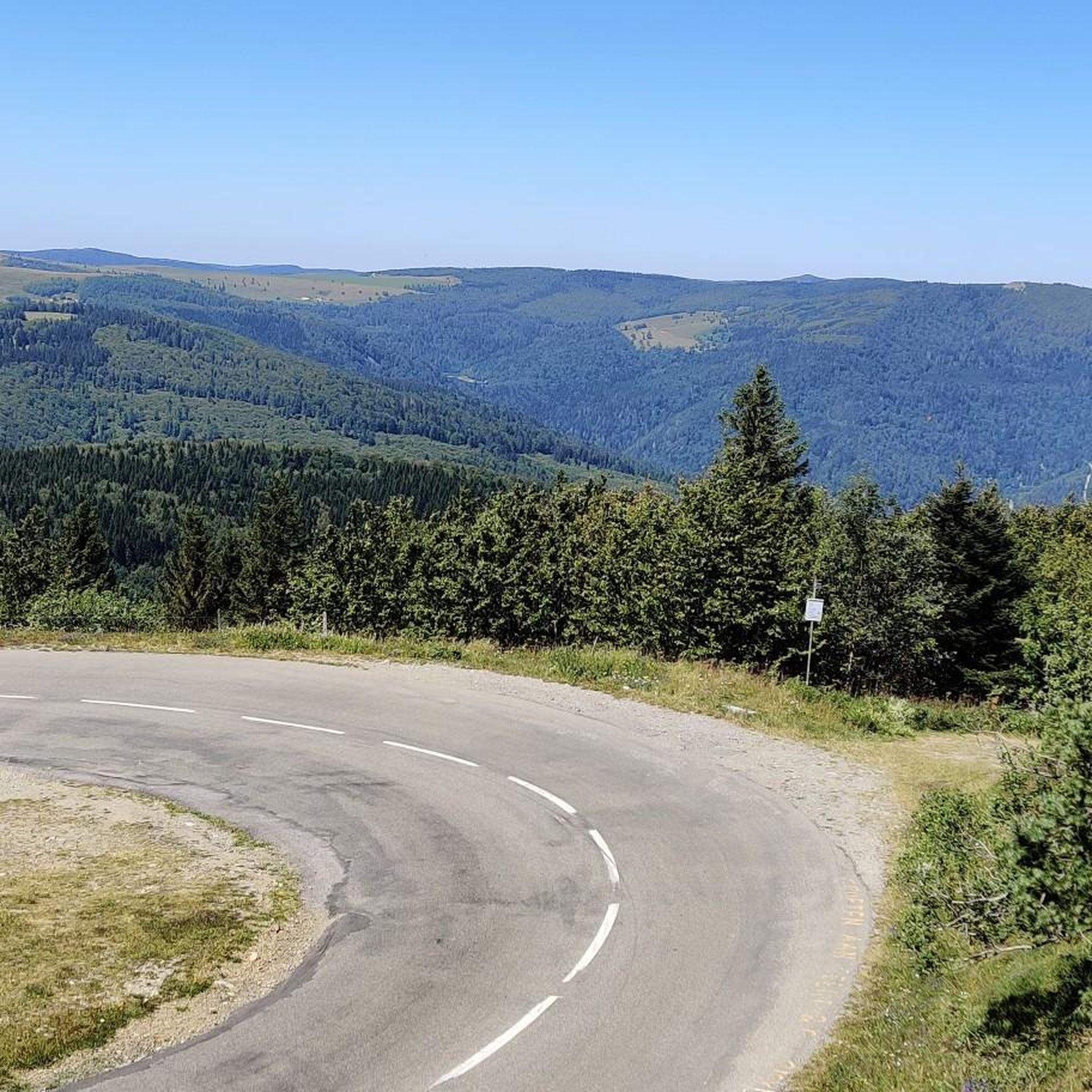
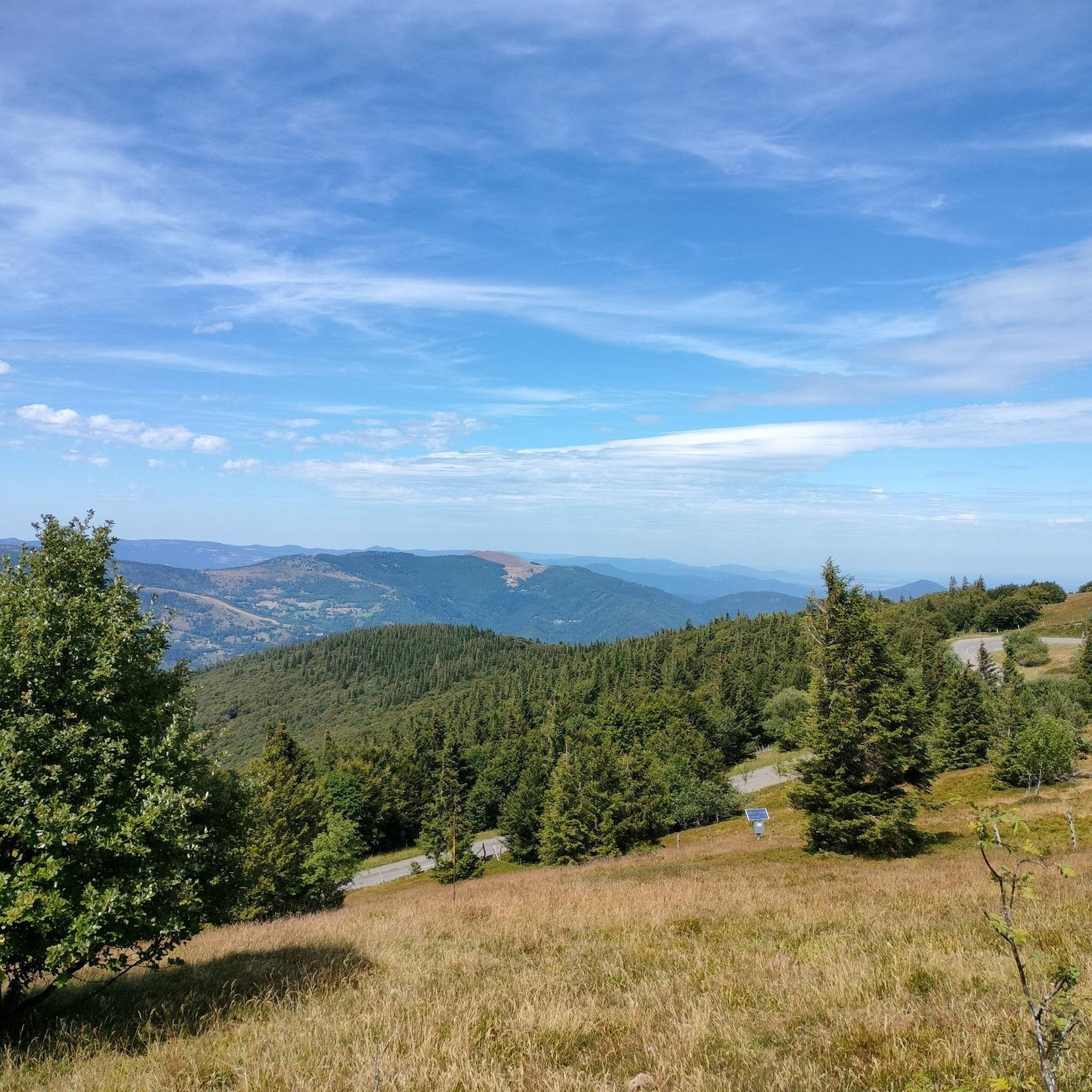
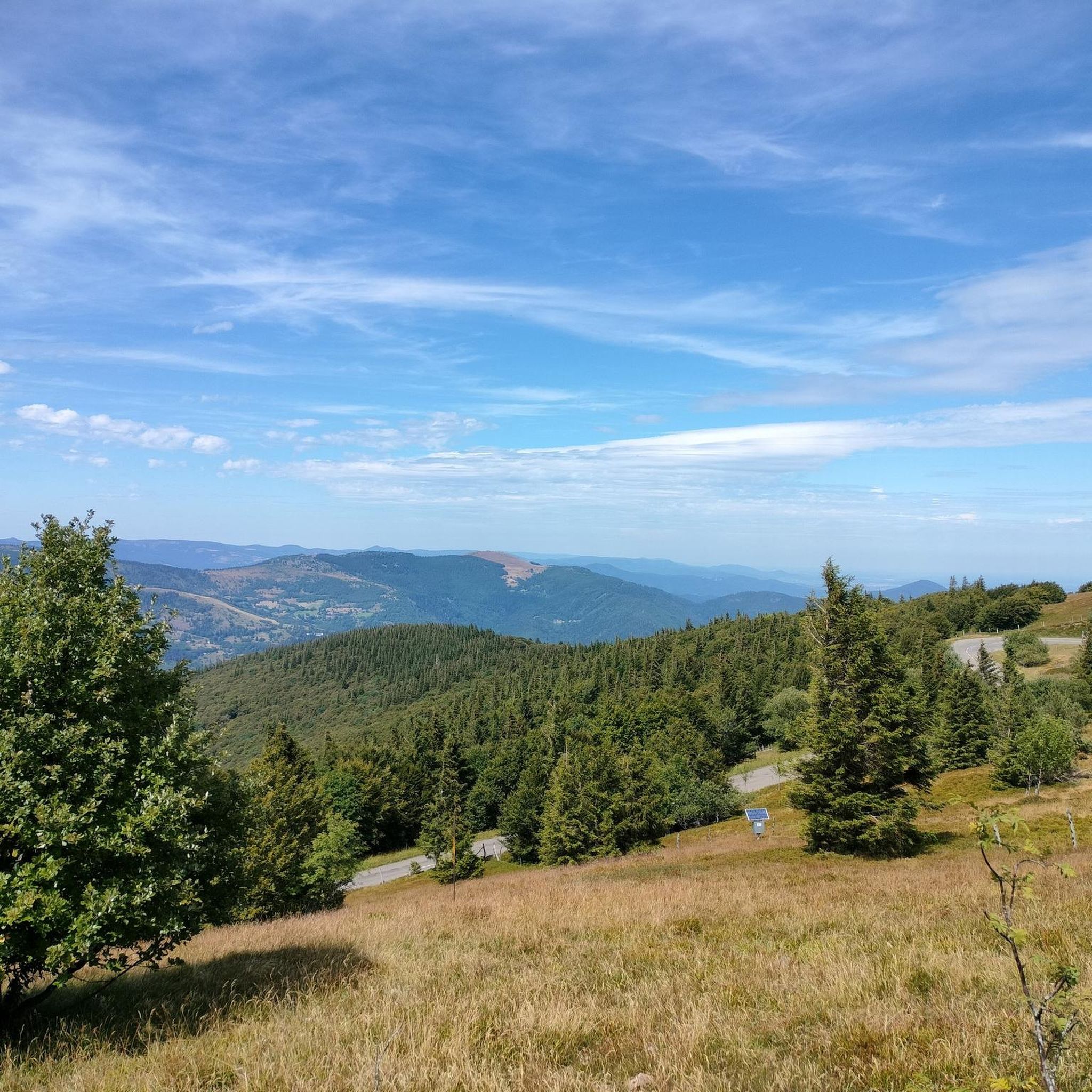
Le Grand Ballon (1325 m) forms the highest point of the Vosges mountains and is one of the most famous destinations for cyclists in the mountain range. Although the summit itself is slightly higher (1424 m), the mountain pass is located at an altitude of approximately 1325 meters on the side of the Route des Crêtes. From here, vast panoramas open up over the Vosges, the Alsace plain, and on clear days even as far as the Black Forest and the Alps. For cyclists, Le Grand Ballon is a legendary climb. Long and often challenging ascents lead from the various valleys to this iconic mountain. The final kilometers above the tree line offer an impressive scenery of mountain meadows, rocky outcrops, and expansive vistas.
2
0

Dedicated to the blue devils (diables bleus), who had to lose their lives at Hartmannswiller Kopf = man-eater head (mangeurs d'hommes) = elite troop of the French, the Chasseurs Alpines. 30,000 victims, Germans and French alike. Compare with Douaumont (Verdun) = Symbol of horror.
0
0

360° panorama and view of the Alps on a clear day (especially in winter).
0
0
In clear weather and especially in winter, the view of the Alps is magnificent.
0
0

Should be climbed sometime
2
0

Here you can see everything, no wonder it's the highest point of the Vosges (1442m).
1
0

Sturdy shoes recommended, sometimes loose stones.
0
0
In nice weather a view of the Alps
0
0
Frequently Asked Questions
How many hiking trails are available around Murbach?
Murbach offers a wide range of hiking opportunities, with over 39 trails to explore. These routes cater to various skill levels, from easy strolls to challenging mountain ascents.
What kind of terrain can I expect on hikes in Murbach?
The terrain around Murbach is diverse, featuring lush forests, the scenic Murbach Valley (Florival), and mountainous landscapes. You'll encounter significant elevation changes, especially on routes leading to the Grand Ballon, the highest peak in the Vosges. Many paths are well-marked, but some challenging sections require sure-footedness.
Are there hiking options for beginners or those seeking easier routes?
Yes, Murbach has several easier routes. While most trails are moderate, there are 4 easy routes available. A good option for a moderate, accessible hike is the Our Lady of Loretto Chapel – Ruins of Hohrupf Castle loop from Murbach, which is about 7.5 km long and offers historical sights.
What are the most challenging hikes in the Murbach area?
For experienced hikers, Murbach offers 8 difficult routes. One of the most challenging is the Grand Ballon – Ballon Lake loop from Murbach. This demanding 23.6 km path ascends to the Grand Ballon and includes the picturesque Lac du Ballon, providing significant elevation gain and panoramic views.
What natural landmarks or viewpoints can I discover on Murbach's trails?
Hikers can enjoy numerous natural landmarks and stunning viewpoints. The Grand Ballon, as the highest peak, offers expansive vistas. You can also find the beautiful Ballon Lake on some longer routes. Other notable natural features include the Petit Ballon and various viewpoints like the Viewpoint at the summit of Vieil Armand.
Are there historical sites or cultural attractions to see while hiking in Murbach?
Absolutely. The historic Benedictine Murbach Abbey, founded in 727, is a significant cultural landmark and a common starting point for many hikes. A short walk from the abbey leads to the Chapel Notre-Dame-de-Lorette, offering great views. Trails also incorporate historical elements like the ruins of Hohrupf Castle, adding cultural interest to your outdoor adventure.
Are there any circular hiking routes in Murbach?
Yes, many of the trails around Murbach are designed as circular routes, allowing you to start and end at the same point. Examples include the Our Lady of Loretto Chapel – Ruins of Hohrupf Castle loop from Murbach and the more challenging Grand Ballon – Ballon Lake loop from Murbach.
What do other hikers enjoy the most about hiking in Murbach?
The Murbach area is highly rated by the komoot community, with an average score of 4.6 stars from over 1100 reviews. Reviewers often praise the diverse landscapes, the stunning views of the Murbach Valley and Grand Ballon, and the well-marked paths that cater to various difficulty levels.
Is Murbach suitable for family-friendly hikes?
Murbach offers routes suitable for families, particularly the easier and moderate trails that wind through the forests and offer less strenuous elevation. While specific 'family-friendly' designations aren't always explicit, the variety of shorter, less demanding loops can be enjoyed by families.
Can I bring my dog on the hiking trails in Murbach?
Generally, dogs are welcome on most hiking trails in the Vosges region, including around Murbach. However, it's always advisable to keep them on a leash, especially in nature reserves or areas with livestock, and to check local regulations for any specific restrictions on certain paths.
What is the best time of year to hike in Murbach?
Murbach is beautiful throughout the year, but spring and autumn offer particularly pleasant hiking conditions with mild temperatures and vibrant scenery. Spring brings blooming flora, while autumn showcases stunning fall foliage. Summer is also popular, though some higher-altitude trails can be quite warm. Winter hiking is possible, but requires appropriate gear and caution due to snow and ice on higher routes.
Are there public transport options to reach hiking trailheads in Murbach?
While Murbach is a small village, local bus services connect it to larger towns in the region. It's recommended to check the current public transport schedules from nearby hubs like Guebwiller to plan your journey to the trailheads, as services might be less frequent, especially on weekends.
Where can I find parking for hiking trails in Murbach?
Parking is generally available in and around Murbach village, particularly near the Murbach Abbey, which serves as a common starting point for many routes. For trails beginning at higher elevations, such as those near the Col du Grand Ballon, dedicated parking areas are usually provided.
Most popular routes around Murbach
Most popular attractions around Murbach

Get inspired with the komoot mobile app


Explore more
Browse the best Hikes in other regions.
