The best waterfall hikes and walks in Val-d'Oise
4.5
(3269)
16,060
hikers
26
hikes
Waterfall hiking trails in Val-d'Oise offer opportunities to explore the region's diverse natural settings, characterized by its proximity to the Oise River, extensive forests, and gentle rolling hills. The landscape features a mix of woodlands, riverbanks, and open fields, providing varied terrain for hikers. This area is known for its accessible natural spaces, making it suitable for different levels of outdoor activity.
Best waterfall hiking trails in Val-d'Oise
- The most popular waterfall hiking route is Arc de Triomphe – Champs-Élysées…
Last updated: November 7, 2026
4.6
(9)
46
hikers
Moderate hike. Good fitness required. Mostly walkable paths. Sure-footedness required.
4.4
(16)
180
hikers
Moderate hike. Good fitness required. Easily walkable paths.

5.0
(1)
18
hikers
16.1km
04:12
120m
120m
Moderate hike. Good fitness required. Easily walkable paths.
4.4
(5)
21
hikers
Hard hike. Very good fitness required. Easily walkable paths.
4.8
(4)
12
hikers
8.93km
02:18
40m
40m
Moderate hike. Good fitness required. Easily walkable paths.
Get access to more routes and recommendations from other explorers.
Already have an account?
Our route recommendations are based on thousands of hikes, rides, and runs completed by other people on komoot.
Start today with a free account
Your next adventure awaits.
Popular around Val-d'Oise
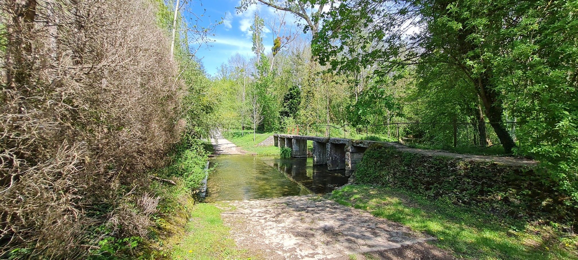
Walking around Ile-de-France in Paris – GR 1
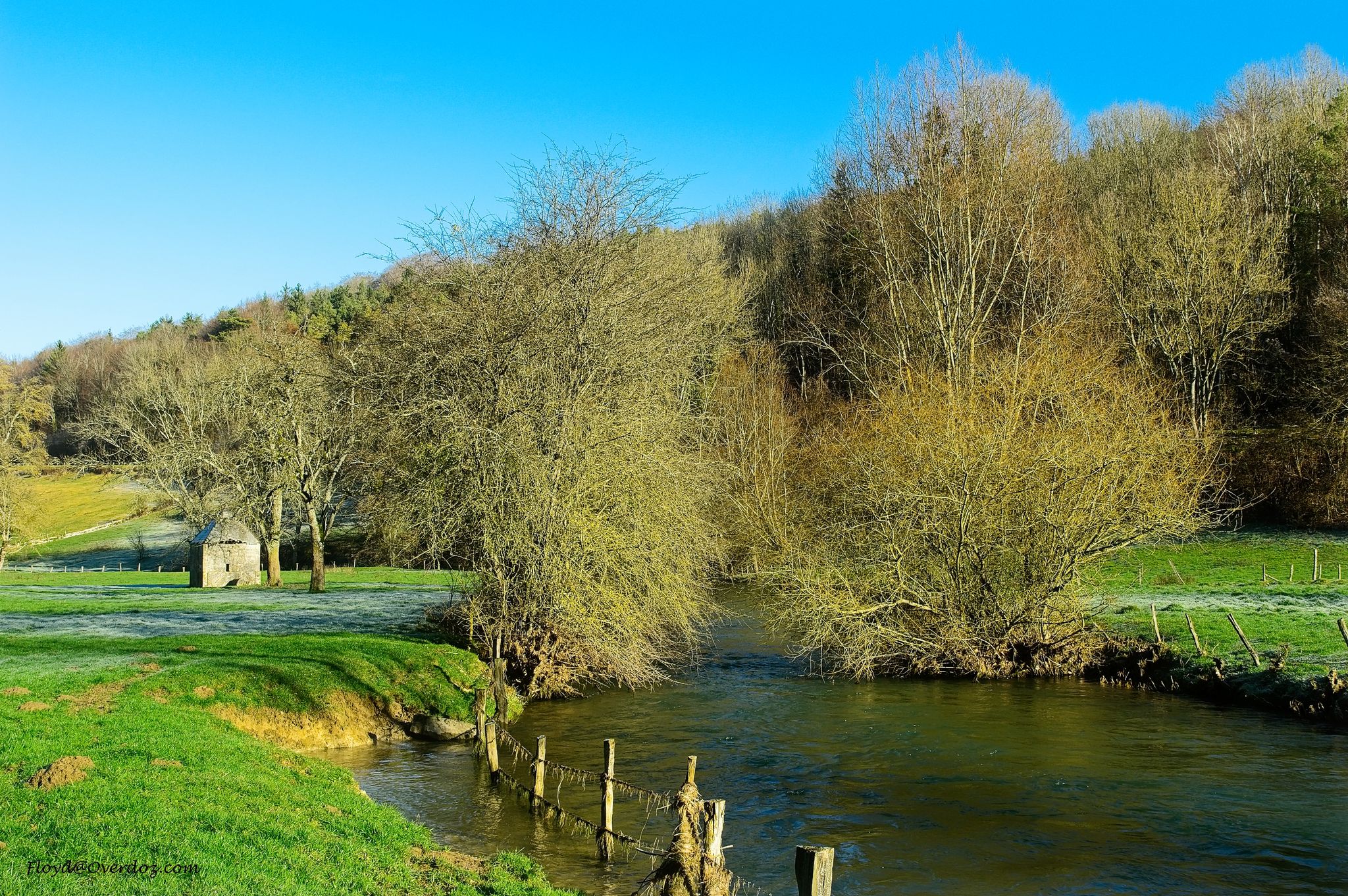
Exploring the Seine on the Île-de-France – hike the GR 2
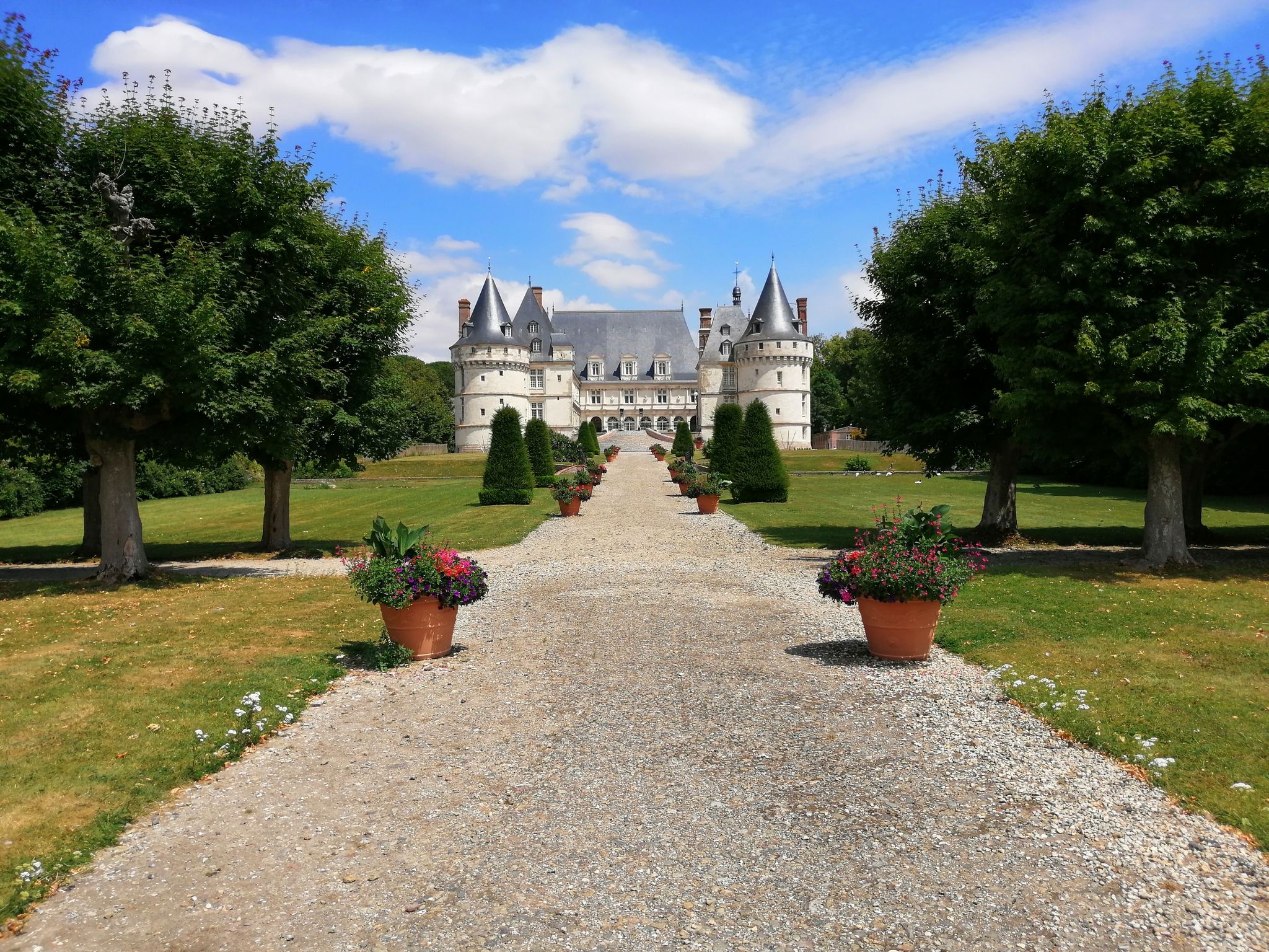
Avenue Verte – Cycling a beautiful adventure from London to Paris
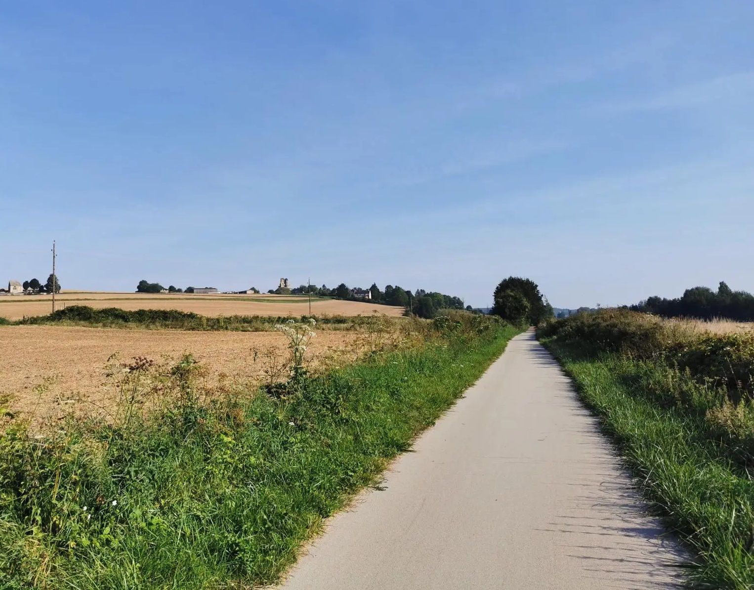
On the roads of the Avenue Verte in France – Oise and Vexin loop
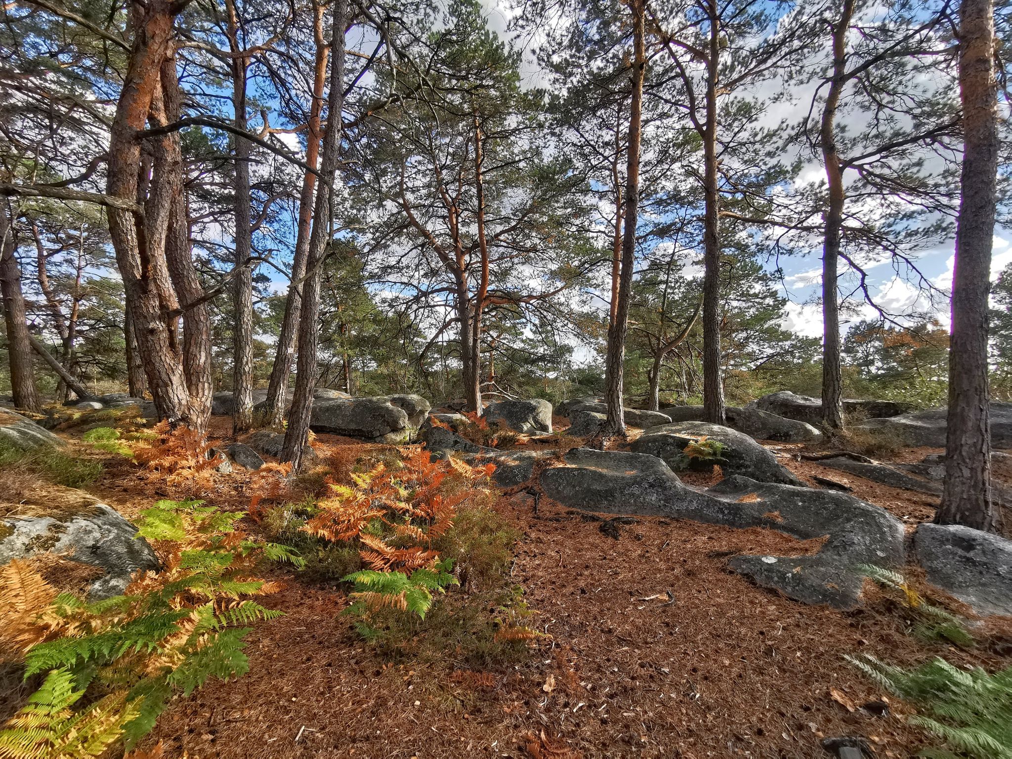
Natural beauty on Île-de-France – mountain biking around Paris
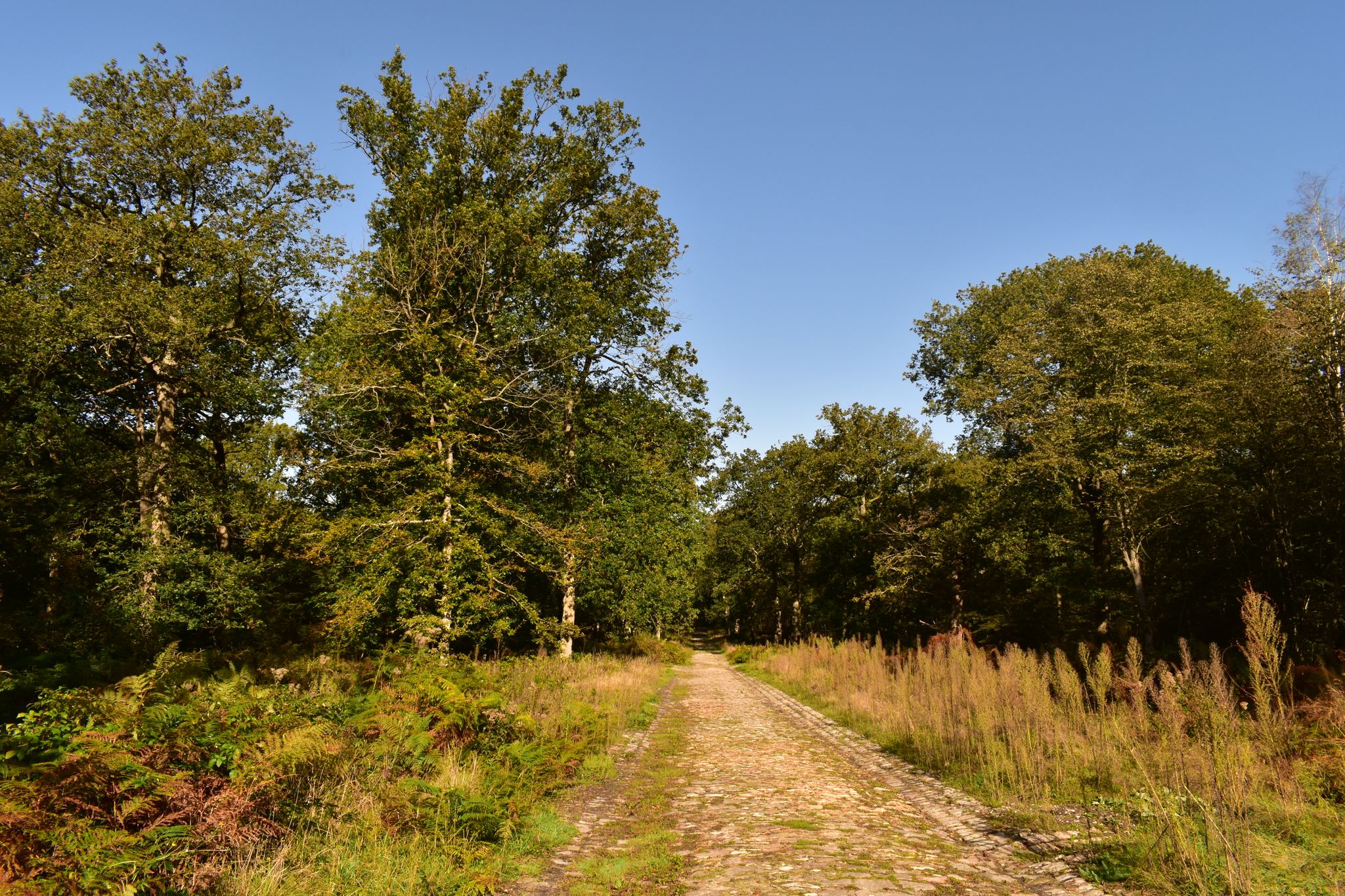
In the heart of Ile-de-France’s landscapes — 7 trails north of Paris
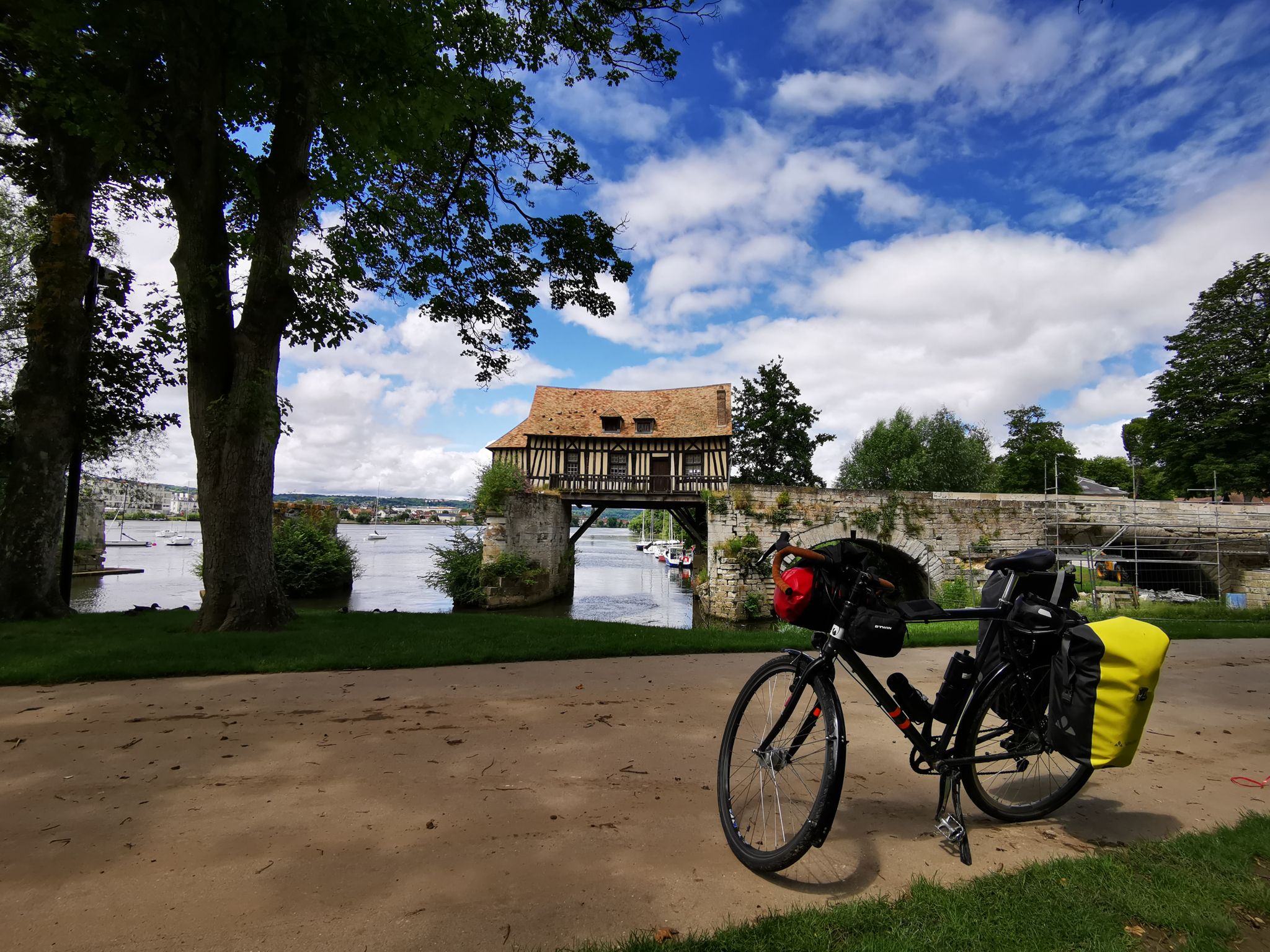
From Paris to Le Havre — the Seine by Bike
Other adventures in Val-d'Oise


Tips from the Community

Very beautiful castle. The park is worth visiting. Enjoy the stud farms located near the castle.
0
0
Pleasant since the installation of cycle lanes. You would forget the surrounding vehicles.
0
0

The stone obelisk in Paris's Place de la Concorde is the Luxor Obelisk, an authentic 23-meter-high Egyptian pink granite monument dating back over 3,200 years. Donated by Egypt to France in the 19th century, it is decorated with hieroglyphs celebrating Pharaoh Ramses II. It originally comes from the entrance of the Temple of Luxor in Egypt. It was part of a pair of obelisks, but only this one was transported to Paris, a colossal engineering feat completed in 1836. The tip of the obelisk (called a pyramidion) was covered with gold leaf in 1998, making it a true visual landmark in the center of the historic square.
0
0

Name: Originally known as Place de l'Étoile, the square was renamed in 1970 in honor of the late President Charles de Gaulle. However, it is often still referred to by its old name. Architecture & Form: The square has a diameter of approximately 240 meters. It forms the center of a star from which twelve avenues (including the Champs-Élysées) radiate. It received its present form in the 19th century by the urban planner Baron Haussmann. Central Landmark: In the middle stands the Arc de Triomphe (Triumphal Arch), commissioned by Napoleon Bonaparte in 1806. The monument is 50 meters high and houses the Tomb of the Unknown Soldier with a perpetually burning eternal flame that is rekindled daily. Traffic: The square is considered one of the most chaotic and dangerous roundabouts in the world. Due to the many intersecting lanes, insurance companies often do not accept liability for accidents here. Safe Access: Pedestrians should never cross the square above ground. There are underground passages that lead directly to the Arc de Triomphe. Public Transportation: Directly below the square lies the important transportation hub Charles de Gaulle – Étoile, where several metro lines and the S-Bahn (RER A) stop.
12
0

The Place de la Concorde is the largest square in Paris and one of the most historic and symbolic in France. It is located between the Champs-Élysées and the Tuileries Gardens, in the heart of the 8th arrondissement of Paris.
14
1

The Pont de Bir-Hakeim was built in 1878 and connects the 15th and 16th arrondissements. It serves a dual purpose: a road for traffic and, on top of that, a railway bridge for metro line 6. The bridge for traffic is divided into three sections: a sidewalk, a bicycle path, and a road. All these sections are separated by cast-iron columns. The bridge is 237 meters long and approximately 25 meters wide. The sides of the bridge are decorated with cast-iron ornaments. On a central extension stands a statue from 1930 by the Danish sculptor Wederkinch, a gift from the Danish community in Paris. From here, you have a beautiful view of the Eiffel Tower. The bridge literally and figuratively pierces the 16th arrondissement to reach the Passy metro station. The bridge owes its somewhat unusual name to the Battle of Bir-Hakeim. A battle between the French army under General Marie-Pierre Koenig and the German/Italian Afrika Korps under the command of Marshal Rommel. This famous and fierce battle took place in 1942 in Libya near the town of Bir-Hakeim. Incidentally, the bridge only received its name in 1948; previously, it was called the Passy Viaduct and was more of a walkway with trees and benches. This bridge also features in the film "Inception," starring Leonardo DiCaprio.
1
0

On the top floor (3rd floor), Eiffel set up a small private apartment. There he received, among others, Thomas Edison. The apartment still exists today and can be viewed through a window.
26
0

Since the end of the 19th century, the tip of the Eiffel Tower has risen into the Parisian sky. Now an undisputed national symbol of France, its permanent presence was not originally planned. At the start of the project, the usage rights attached to the construction contract were set at only 20 years. After that, the tower was supposed to be dismantled. Well, it's still standing today. Can we really imagine Paris without the Eiffel Tower?
9
0
Frequently Asked Questions
How many waterfall hiking trails can I find in Val-d'Oise?
Val-d'Oise features a diverse network of over 20 hiking trails. While many routes offer scenic views of rivers and natural landscapes, specific trails explicitly highlighting waterfalls, such as the Small waterfall – Lower Lake loop from Arrondissement of Nanterre, are available for those seeking these unique features.
Are there easy waterfall hikes suitable for beginners in Val-d'Oise?
Yes, Val-d'Oise offers several easy hiking options. While the region's trails range in difficulty, you can find routes that are less challenging and suitable for beginners. For example, the Small waterfall – Lower Lake loop is a moderate trail that provides a rewarding experience without being overly strenuous.
What is the best time of year to visit Val-d'Oise for waterfall hikes?
The best time to experience waterfall hikes in Val-d'Oise is typically during spring (March to May) when rainfall is more frequent, ensuring fuller cascades and lush greenery. Autumn (September to November) also offers beautiful scenery with vibrant foliage, though water levels might be lower.
Are there any family-friendly waterfall walks in Val-d'Oise?
Val-d'Oise is known for its accessible natural spaces, making it suitable for families. Many trails are designed to be enjoyed by different ability levels. Look for shorter, less strenuous routes that offer points of interest like the Small waterfall – Lower Lake loop, which is a moderate 8.9 km path, often enjoyed by families.
Can I bring my dog on waterfall hiking trails in Val-d'Oise?
Many hiking trails in Val-d'Oise are dog-friendly, but it's always recommended to check specific trail regulations or local signage before you go. Generally, dogs are welcome on a leash, especially in natural park areas and along riverbanks. Ensure your dog is comfortable with the terrain and bring water for both of you.
Are there circular waterfall walks available in Val-d'Oise?
Yes, many of the hiking routes in Val-d'Oise are designed as loops, allowing you to start and end at the same point. This is convenient for parking and exploring. The Small waterfall – Lower Lake loop from Arrondissement of Nanterre is a great example of a circular route that includes a waterfall feature.
What kind of attractions can I find near waterfall hikes in Val-d'Oise?
Beyond the waterfalls, Val-d'Oise offers a variety of attractions. You can explore historical sites like Auvers-sur-Oise, visit charming castles such as the Pond and Château de la Chasse, or enjoy the serene Enghien Lake Promenade. The region also features extensive forests and riverbanks for further exploration.
What should I wear for waterfall hiking in Val-d'Oise?
For waterfall hikes in Val-d'Oise, it's advisable to wear comfortable, layered clothing suitable for varying weather conditions. Sturdy, waterproof hiking shoes with good grip are essential, as trails can be wet or muddy near waterfalls. Bringing a light rain jacket is also a good idea, especially during spring.
Are there any challenging waterfall trails in Val-d'Oise for experienced hikers?
While Val-d'Oise is known for its gentle hills, some routes offer more challenging sections. The region has a few difficult trails, though they may not always be directly linked to prominent waterfalls. For a longer, more demanding hike, consider routes like the Arc de Triomphe – Champs-Élysées Avenue loop from Pont de Neuilly, which covers 23.6 km with some elevation gain.
What do other hikers enjoy most about hiking in Val-d'Oise?
The hiking trails in Val-d'Oise are highly rated by the komoot community, with an average score of 4.5 stars from over 2,500 reviews. Hikers often praise the region's diverse natural settings, including its extensive forests, river valleys, and accessible paths, which provide varied terrain for all levels.
Are there options for public transport to reach waterfall trails in Val-d'Oise?
Val-d'Oise is well-connected to Paris and surrounding areas by public transport, including regional trains (Transilien) and buses. Many trailheads are accessible from train stations or bus stops, making it possible to reach hiking areas without a car. It's recommended to check specific route access details for the trail you plan to hike.
Where can I find parking for waterfall hikes in Val-d'Oise?
Parking availability varies by trailhead. For popular hiking areas and circular routes, you can often find designated parking lots or street parking nearby. When planning your hike, check the starting point of your chosen route on komoot for information on nearby parking facilities.
Most popular routes in Val-d'Oise
Most popular attractions in Val-d'Oise

Get inspired with the komoot mobile app


Explore more
Browse the best Hikes in other regions.
