The best cycling routes in Norse Peak Wilderness
166
riders
4
rides
Touring cycling in Norse Peak Wilderness offers routes through diverse landscapes spanning both sides of the Cascade Mountain Range crest. The western slopes feature dense forests of Douglas fir and western hemlock, while eastern areas transition to drier slopes with larch and spruce. The region includes narrow drainages, rockbound ridges, and volcanic peaks, providing varied terrain for cyclists. Significant elevation changes are characteristic of the area's routes.
Best touring cycling routes in Norse Peak Wilderness
- The most popular touring cycling…
Last updated: November 1, 2026
56
riders
65.2km
04:36
1,310m
1,310m
Hard bike ride. Very good fitness required. Mostly paved surfaces.
59
riders
50.9km
03:37
1,060m
1,060m
Hard bike ride. Very good fitness required. Mostly paved surfaces.

46
riders
Hard bike ride. Very good fitness required. Mostly paved surfaces.
Our route recommendations are based on thousands of hikes, rides, and runs completed by other people on komoot.
Start today with a free account
Your next adventure awaits.
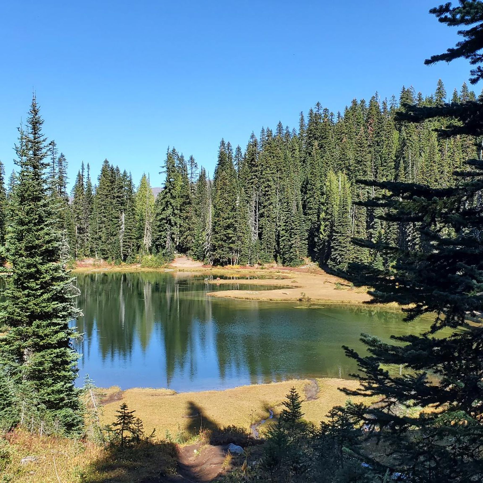
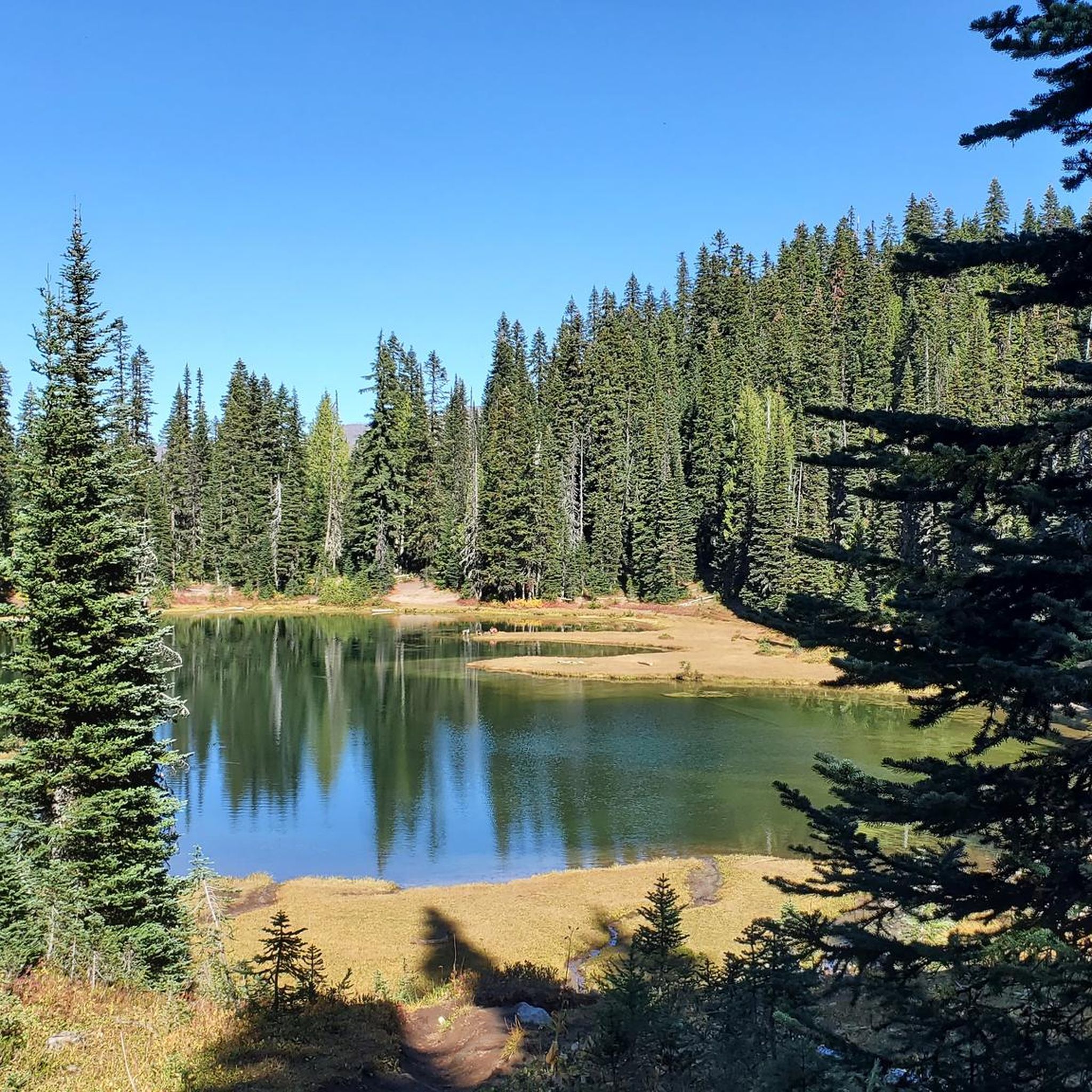

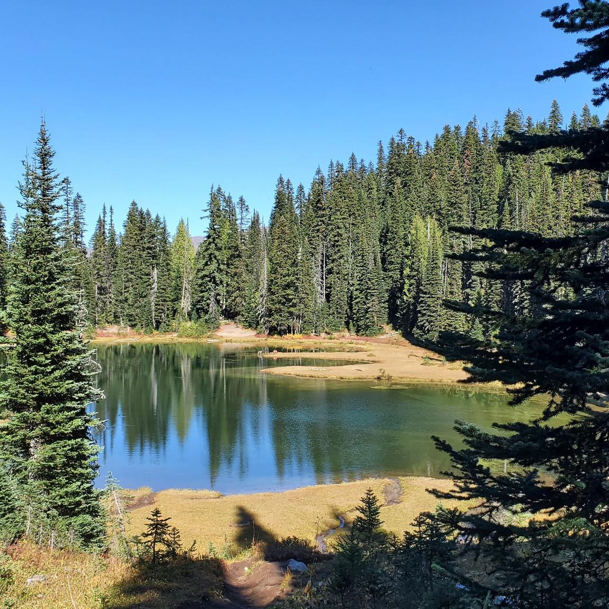
Tips from the Community

Riding to Sunrise Visitor Center is a great challenge you can take on early in the morning to enjoy hiking some of the park’s trails and take in awesome views on the way up or down. Rangers can provide trail information and maps, and exhibits focus on the geology and natural history of the park’s northeast region.
0
0
From Sunrise Park Road you get breathtaking views of Mt. Rainier and Mt. Adams, two powerful mountains covered with a glacier blanket and surrounded by forest.
0
0

At the Sunrise Visitor Center, rangers provide trail information and maps, while exhibits focus on the geology and natural history of the park's northeast region. It is the highest visitor center in the park.
1
0
Frequently Asked Questions
How many touring cycling routes are available in the Norse Peak Wilderness area?
There are 4 dedicated touring cycling routes available in the Norse Peak Wilderness region. These routes are generally challenging, offering significant elevation changes and rewarding views.
What is the best time of year to go touring cycling in Norse Peak Wilderness?
The best time for touring cycling in the Norse Peak Wilderness region is typically from late spring through early autumn. During these months, roads are generally clear of snow, and the weather is more favorable for cycling. Always check local conditions and forecasts before you go, especially at higher elevations.
Are there any family-friendly or beginner touring cycling routes in Norse Peak Wilderness?
The touring cycling routes listed for the Norse Peak Wilderness are all rated as 'difficult' due to significant elevation gains and distances. They are more suited for experienced cyclists looking for a challenge rather than families with young children or beginners. The region's diverse terrain, including narrow drainages and rockbound ridges, contributes to the demanding nature of these rides.
What kind of views can I expect along the touring cycling routes?
The touring cycling routes in the Norse Peak Wilderness region offer spectacular views, including panoramic vistas of the Cascade Mountain Range and Mount Rainier. For example, the route View of Mount Rainier – Sunrise Visitor Center loop from Silver Springs Sno-Park provides stunning perspectives of the iconic peak. You'll also pass through diverse ecosystems, from dense forests on the western slopes to drier, pine-filled areas eastward.
Are there any loop routes for touring cyclists in the area?
Yes, several touring cycling routes in the Norse Peak Wilderness region are designed as loops. For instance, the Forest Road 7315 – Sun Top Trail viewpoint loop from Ranger Creek Campground is a challenging loop covering over 32 km with significant elevation gain. Another option is the Forest Road 7315 – Suntop Lookout loop from Skookum Flats - North Trailhead, which offers a similar experience.
What are some notable landmarks or attractions to see while cycling?
While cycling in the Norse Peak Wilderness region, you can encounter several interesting points. The Sunrise Park Road route leads towards the Sunrise Visitor Center, offering access to stunning views. You might also find remnants from the gold mining days, including old mine shafts and derelict cabins, particularly in the southwest corner of the wilderness. For specific points of interest, consider visiting Scout Pass.
What are the typical distances and elevation gains for touring cycling routes here?
The touring cycling routes in the Norse Peak Wilderness region are generally long and feature substantial elevation changes. Distances range from approximately 32 km to over 65 km. Elevation gains are significant, typically ranging from around 940 meters to over 1300 meters per route, making them challenging rides.
Are there specific parking areas for cyclists accessing these routes?
While specific parking for cyclists isn't always explicitly designated for every route, many routes start from established areas like Ranger Creek Campground or Silver Springs Sno-Park, which typically offer parking facilities. For example, the View of Mount Rainier – Sunrise Visitor Center loop starts from Silver Springs Sno-Park. Always check local regulations for parking availability and any required fees.
What should I bring for a touring cycling trip in Norse Peak Wilderness?
Given the challenging nature and varying elevations of the routes, it's essential to be well-prepared. Bring plenty of water, high-energy snacks, appropriate layers of clothing for changing weather conditions, a repair kit for your bike, and a first-aid kit. A reliable navigation device is also recommended, as cell service can be spotty in wilderness areas. Be aware that facilities like water and campsites are available in some areas, but planning ahead is crucial.
What do other touring cyclists enjoy most about cycling in Norse Peak Wilderness?
Cyclists often praise the Norse Peak Wilderness for its challenging terrain and the incredible natural beauty. The diverse landscapes, from dense forests to alpine meadows, and the rewarding views of volcanic peaks like Fifes Peaks and Mount Rainier, are frequently highlighted. The sense of accomplishment after tackling the significant elevation gains is also a common theme among those who complete these difficult routes.
Are there any cafes or places to refuel near the touring cycling routes?
The Norse Peak Wilderness is a remote area, and amenities like cafes are not typically found directly along the routes. It's advisable to carry all necessary food and water for your ride. You may find limited services in small towns or visitor centers on the periphery of the wilderness area, such as near the Sunrise Visitor Center, but plan to be self-sufficient for the duration of your ride.
Most popular routes in Norse Peak Wilderness
Most popular attractions in Norse Peak Wilderness

Get inspired with the komoot mobile app


