The best road cycling routes in Norse Peak Wilderness
142
riders
5
rides
Road cycling routes in Norse Peak Wilderness traverse the mountainous terrain of Washington's central Cascade Range, offering challenging climbs and panoramic views. The region is characterized by high-elevation passes, including Chinook Pass and White Pass, which provide access to alpine meadows and volcanic peaks like Mount Rainier. Cyclists encounter diverse forests, winding rivers, and scenic lakes, with routes often following major scenic byways. The landscape transitions from dense western slope forests to subalpine fir and wildflower-filled meadows at higher altitudes.
…Last updated: May 13, 2026
10
riders
45.5km
02:42
1,000m
1,000m
Hard road ride. Very good fitness required. Some segments of this route may be unpaved and difficult to ride.
12
riders
141km
08:07
3,190m
3,190m
Hard road ride. Very good fitness required. Some segments of this route may be unpaved and difficult to ride.

Sign up for free
109
riders
75.4km
04:30
1,650m
1,650m
Hard road ride. Very good fitness required. Some segments of this route may be unpaved and difficult to ride.
6
riders
22.9km
01:10
370m
370m
Moderate road ride. Good fitness required. Mostly well-paved surfaces and easy to ride.
5
riders
45.0km
02:32
930m
930m
Hard road ride. Very good fitness required. Some segments of this route may be unpaved and difficult to ride.
Our route recommendations are based on thousands of hikes, rides, and runs completed by other people on komoot.
Start today with a free account
Your next adventure awaits.
Login or Signup
Popular around Norse Peak Wilderness
Tips from the Community

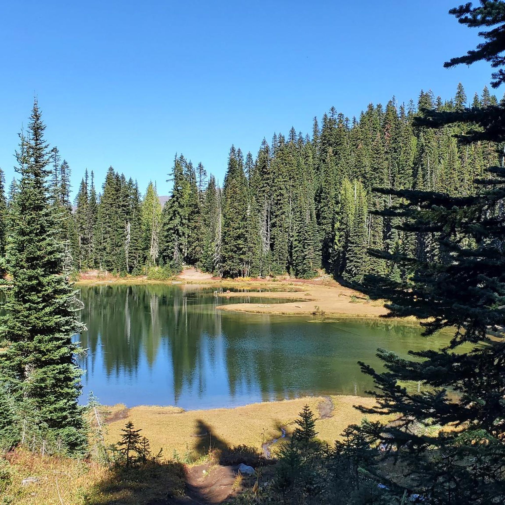
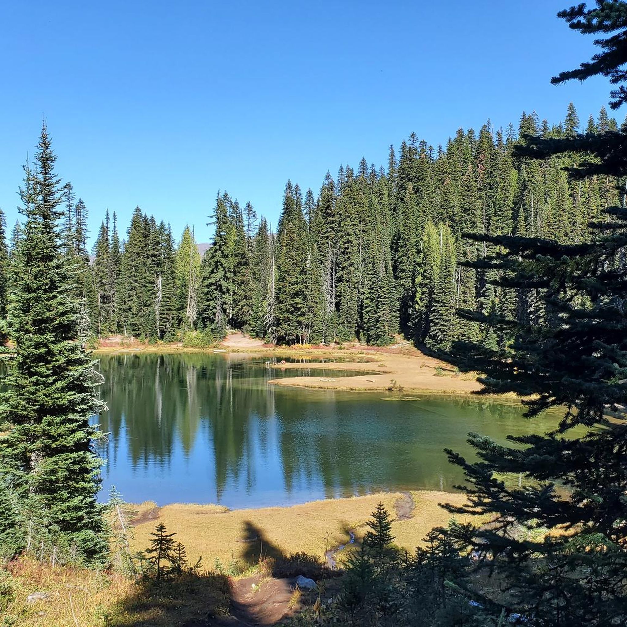
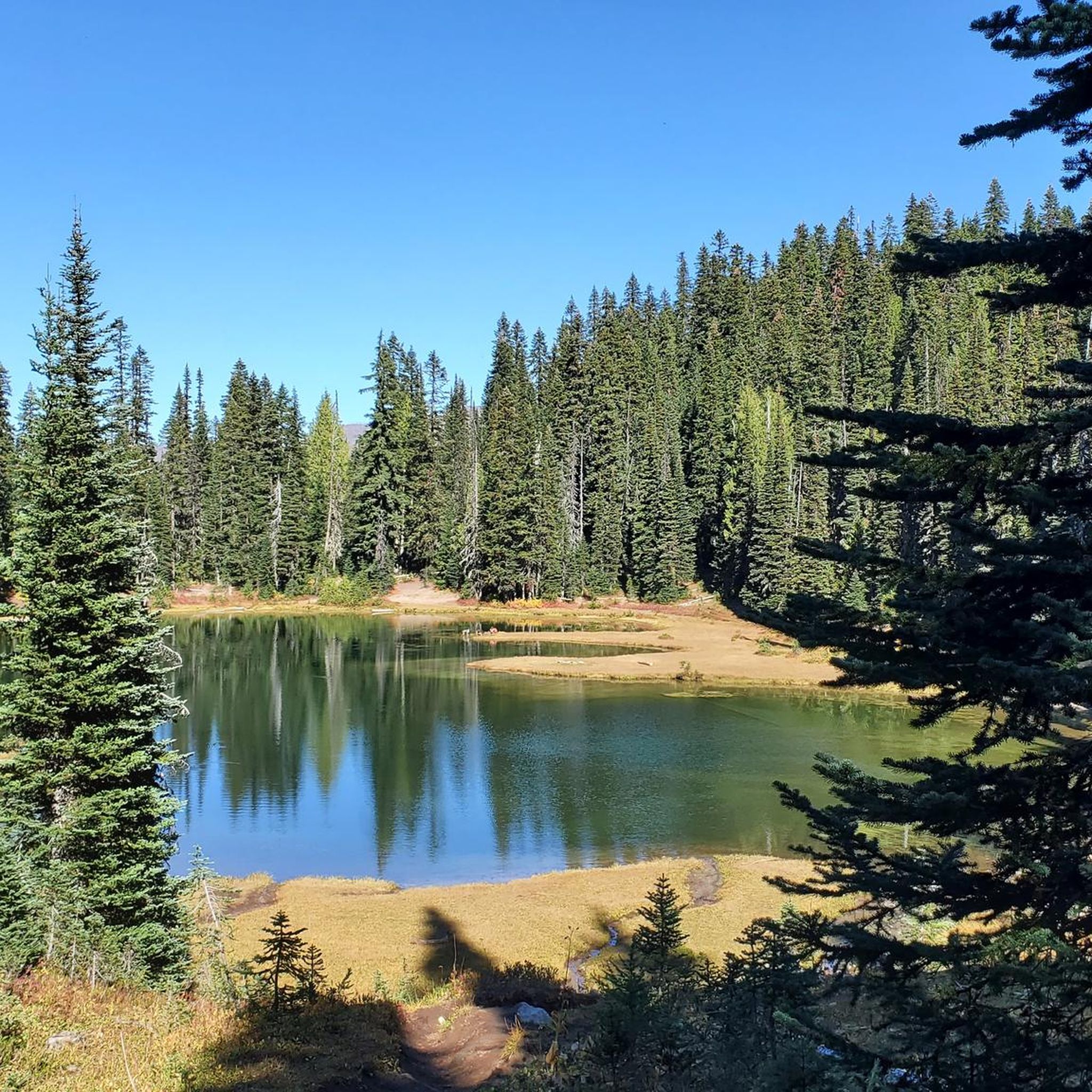
One of the most impressive view points to see Mount Rainier. During sunrise and sunset, when there's no wind or rain, this lake right by the park road reflects the mountain in all of its majesty.
0
0

White River Campground is a convenient stop or overnight spot, especially for those breaking up the Wonderland Trail into stages. With road access, it’s a good place to cache food in one of the bear boxes or meet a friend for resupply. It also serves as a trailhead for several routes. The campground has reliable water, composting toilets, picnic tables, and plenty of flat ground to rest. It sits close to the trail, making it easy to continue the next morning without adding extra mileage. It can get crowded in summer, so plan your resupply accordingly or avoid the peak season. From July 11 to mid-October 2025, timed entry is required to access the Sunrise Corridor (which includes this campground) between 7 am and 5 pm. If you secure a campsite before 7 am, your permit can be used in place of a timed entry pass for the rest of your stay. Plan ahead, as both campsite and entry availability are not guaranteed.
0
0
Riding to Sunrise Visitor Center is a great challenge you can take on early in the morning to enjoy hiking some of the park’s trails and take in awesome views on the way up or down. Rangers can provide trail information and maps, and exhibits focus on the geology and natural history of the park’s northeast region.
0
0
From Sunrise Park Road you get breathtaking views of Mt. Rainier and Mt. Adams, two powerful mountains covered with a glacier blanket and surrounded by forest.
0
0
Nothing beats riding Mather Memorial Parkway and passing pristine mountain lakes like Ghost Lake. Take your time and enjoy the views.
0
0
This climb is tough, but once you conquer Cayuse Pass, you’ll know you can tackle any ride. Take in the views, catch your breath, and enjoy the feeling of achievement before heading back down.
0
0
Tipsoo Lake, just off the road, offers stunning views of Mount Rainier reflecting in calm waters. A short 0.8-mile loop trail surrounds the lake, with vibrant wildflowers in late summer. Best visited early or on weekdays to avoid crowds. Swimming is not allowed to protect the habitat.
0
0
At 5,430 ft, Chinook Pass offers stunning mountain along Mather Memorial Parkway. The pass is open mid-May to November—check for seasonal closures before you go.
0
0
Frequently Asked Questions
How many road cycling routes are available in the Norse Peak Wilderness area?
There are 5 dedicated road cycling routes available around the Norse Peak Wilderness. These routes primarily utilize the scenic byways adjacent to the wilderness area, offering stunning views and challenging climbs.
What is the best time of year for road cycling near Norse Peak Wilderness?
The best time for road cycling is typically from late spring through early autumn. This period offers the most favorable weather conditions and ensures that high mountain passes like Chinook Pass and White Pass are open. A unique opportunity exists in late spring when parts of the Chinook Pass (SR 410) may be open to cyclists before vehicles, offering a 'car-free' experience.
Are there any family-friendly road cycling options in the Norse Peak Wilderness area?
While many routes in this region are challenging, featuring significant elevation gains, the White River Campground loop from Crystal Lake Trailhead is rated as moderate. It's shorter and has less elevation gain compared to the more difficult pass routes, making it a more accessible option for families with experienced younger riders or those looking for a less strenuous ride.
What kind of terrain and scenery can I expect on road cycling routes here?
Road cycling routes near Norse Peak Wilderness offer diverse and dramatic scenery. You'll experience challenging climbs with panoramic views of Cascade icons like Mount Rainier, Mount Adams, and the Fifes Peaks. Routes ascend through dense forests of Douglas fir and hemlock, transitioning to alpine meadows vibrant with wildflowers in summer. You'll also cycle alongside rumbling rivers and past picturesque lakes, such as Lake Tipsoo near Chinook Pass.
Are there any particularly challenging road cycling routes for experienced riders?
Yes, the area is renowned for its challenging climbs. Routes like the Chinook Pass – Paradise Visitor Center loop from Silver Springs Sno-Park, with over 3,100 meters of elevation gain, and the various loops over Chinook Pass, such as the Tipsoo Lake – Chinook Pass loop from Corral Pass Road Trailhead, offer significant tests for experienced road cyclists. These routes often feature sustained climbs and winding descents.
What natural features or landmarks can I see along the road cycling routes?
The routes offer stunning views of natural landmarks. You'll encounter high mountain passes like Chinook Pass and White Pass, providing vistas of volcanic peaks and scenic basins. Lake Tipsoo is a notable attraction near Chinook Pass. While the wilderness itself is for non-motorized activities, the surrounding byways offer glimpses of the Norse Peak Wilderness boundary and access to areas with historical elements from gold mining days. You might also spot Scout Pass.
Are there any circular road cycling routes available?
Yes, several routes are designed as loops. For example, the Tipsoo Lake – Chinook Pass loop from Corral Pass Road Trailhead and the Tipsoo Lake – Chinook Pass loop from Crystal Lake Trailhead are excellent circular options that allow you to experience the full beauty of the passes without retracing your path.
Where can I find parking for road cycling routes in this area?
Parking is typically available at designated trailheads and sno-parks that serve as starting points for these routes. For instance, routes often begin from locations like Corral Pass Road Trailhead, Silver Springs Sno-Park, or Crystal Lake Trailhead. Always check local regulations for any required permits or fees for parking, especially during peak seasons.
Are there any specific regulations or permits required for road cycling near Norse Peak Wilderness?
Road cycling is generally permitted on the public highways and scenic byways surrounding the Norse Peak Wilderness, such as the Chinook Scenic Byway (SR 410) and White Pass Scenic Byway (US 12). The wilderness area itself is designated for non-motorized activities like hiking and backpacking, so bicycles are not allowed on trails within the wilderness boundary. Always adhere to traffic laws and be aware of narrow shoulders on some sections of the byways. No specific cycling permits are typically required for riding on these public roads.
What are the road conditions like for cycling in this region?
The highways and scenic byways in the area generally offer excellent road conditions, making them suitable for road cycling. However, cyclists should be aware that some sections may have narrow shoulders, especially on mountain passes. Always exercise caution and be visible to vehicle traffic. Road conditions can also vary with weather, particularly at higher elevations, so checking forecasts before your ride is advisable.
Can I find facilities like water or campsites along the road cycling routes?
While the routes are primarily on public roads, some areas may offer access to facilities. For example, there are highlights such as Water and campsites and a Piped spring and campsites marked in the region. It's always recommended to carry sufficient water and supplies, as services can be sparse on mountain passes and remote sections of the byways.
Most popular routes in Norse Peak Wilderness
Most popular attractions in Norse Peak Wilderness

Get inspired with the komoot mobile app


