The best running trails around Sperryville
22
runners
4
runs
Jogging around Sperryville, Virginia, offers access to diverse terrain at the base of the Blue Ridge Mountains, including parts of Shenandoah National Park. The region features rolling foothills, dense forests, and scenic river paths along the Thornton River. This geographical setting provides a variety of running experiences, from gentle riverside routes to challenging mountain ascents.
Best jogging routes around Sperryville
- The most popular jogging route is Marys Rock loop from Thornton Gap, a 3.6 miles (5.8 km) trail that…
Last updated: June 4, 2026
4
runners
19.2km
02:50
890m
890m
Hard run. Very good fitness required. Mostly paved surfaces. Suitable for all skill levels.
7
runners
25.2km
03:34
930m
930m
Hard run. Very good fitness required. Mostly paved surfaces. Suitable for all skill levels.

6
runners
14.4km
02:13
740m
740m
Hard run. Very good fitness required. Mostly paved surfaces. Suitable for all skill levels.
2
runners
23.4km
03:13
900m
900m
Hard run. Very good fitness required. Mostly paved surfaces. Suitable for all skill levels.
Our route recommendations are based on thousands of hikes, rides, and runs completed by other people on komoot.

Tips from the Community

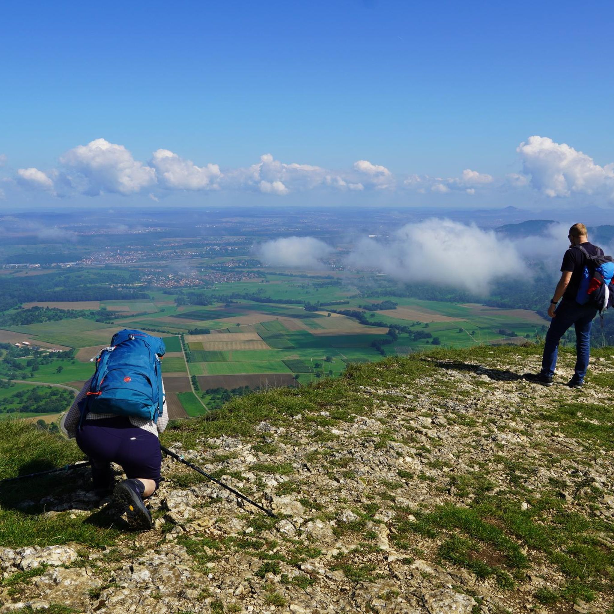
This is the longest overlook in the area, stretching nearly a quarter mile. To the north, you'll be greeted with breathtaking views of Gimlet Ridge, Allegheny Mountains, and Mathews Arm.
0
0
Elkwallow Wayside provides groceries, supplies, and quick-to-go food. Several benches are situated in shaded areas, creating an ideal stopping spot to recharge before continuing on your ride.
1
0

We hiked from the Pinnacles parking lot on the AT and it was beautiful! About 7 miles round trip.
3
0

The way was good. There are no signs indicating where to park or where to start, there were just other cars parked so we parked there.
0
0
The most peaceful vantage point on Skyline Drive. My favorite.
0
0

Buried in this cemetery are the descendants of those who lived in this area until the federal state decided to create a park.
1
0

Nice opening, perfect for taking a break. Close by to another stream crossing.
0
0
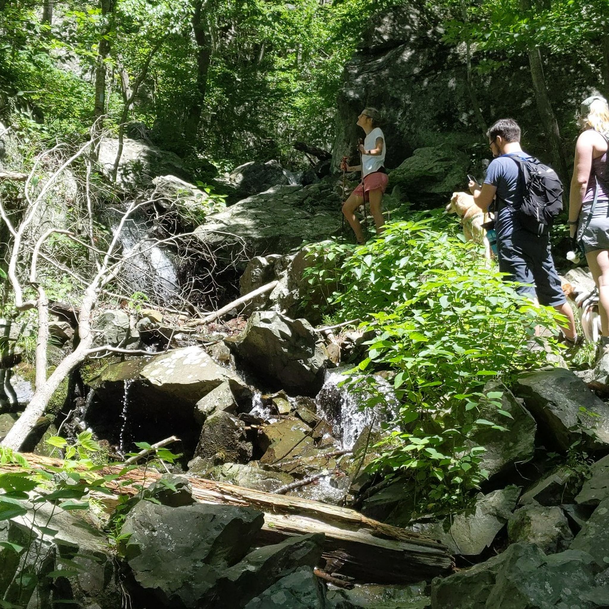
This section of the Little Devils Stairs Loop basically will take you up the Keyser Run stream. Throughout this section, you will have to cross the stream multiple times and at some point you are basically ascending through the stream. All of the crossings are shallow and are aided by rocks in the stream. Hiking poles are helpful to steady yourself whilst getting over the crossings. Sturdy footwear is also recommended.
3
0
Frequently Asked Questions
How many running trails are available around Sperryville?
The komoot guide features 5 challenging running routes around Sperryville, all categorized as difficult. These trails offer significant elevation changes and cover diverse terrain, from mountain ascents to forest paths, primarily within or near Shenandoah National Park.
Are there dog-friendly running trails in Sperryville?
Yes, many trails in the Sperryville area are dog-friendly, provided your dog is on a leash. For a local and accessible option, the Sperryville Trail Network, which winds through the village along the Thornton River, welcomes leashed dogs. Within Shenandoah National Park, most trails allow leashed pets, but it's always best to check specific park regulations before heading out.
What kind of scenery can I expect on running routes near Sperryville?
Jogging around Sperryville offers breathtaking natural landscapes. You'll experience majestic mountain views, traverse leafy forests, and encounter rocky outcrops with expansive vistas, especially within Shenandoah National Park. Many routes also feature picturesque riverside paths along the Thornton River and its tributaries, with opportunities to see cascading waterfalls.
Are there any running routes with waterfalls or water features?
Absolutely! The region is rich in water features. For an immersive experience with waterfalls, consider the Little Devils Stairs Trail – Hogback Overlook loop from Keyser Mountain, which features rock scrambles and cascading falls. The Whiteoak Canyon trail (not featured in this guide but nearby) is also known for its multiple waterfalls and stream crossings.
What are some less crowded running paths in the Sperryville area?
While popular trails can see more visitors, routes like the Jenkins Gap Overlook – North Marshall loop from Washington Volunteer Fire Department offer a more secluded experience due to their length and difficulty. The Sperryville Trail Network within the village can also be a good option for a quieter run, especially during off-peak hours, as it extends into forests and fields.
Are there any circular running routes available?
Yes, several routes in the area are circular, allowing you to start and end at the same point. For example, the Marys Rock loop from Thornton Gap and the Marys Rock loop from Oventop Mountain are both popular loop options offering fantastic views.
What points of interest or landmarks can I see along the running trails?
Along the trails, you can discover several interesting points. The Little Devils Stairs Trail itself is a notable feature with its unique rock formations and cascades. You might also encounter historical sites like Bolen Cemetery, or enjoy expansive views from overlooks such as Pass Mountain Overlook and Hazel Mountain Overlook.
Are there any running routes suitable for families with older children?
While all routes in this guide are rated as difficult, the Sperryville area offers varied terrain. For families looking for a less strenuous option, the 1.5-mile Sperryville Trail Network through the village provides a gentle, accessible path suitable for a family run or walk, offering wide views of the valley and mountains. For more adventurous older children, some sections of the longer trails might be manageable, but caution is advised due to the difficulty ratings.
What do other runners enjoy the most about jogging in Sperryville?
Runners using komoot frequently praise Sperryville for its diverse and challenging terrain, offering a true mountain running experience. The stunning views from overlooks like Mary's Rock and the natural beauty of cascading waterfalls are often highlighted. Over 40 runners have already used komoot to explore the varied landscapes of Sperryville.
Are there any very long-distance running routes for endurance training?
Yes, Sperryville is an excellent base for long-distance running. The Jenkins Gap Overlook – North Marshall loop from Washington Volunteer Fire Department is a substantial 30.5 km (19 miles) route, and the Elkwallow Wayside loop from Pass Mountain covers 23.4 km (14.5 miles), both offering significant elevation gain for endurance training.
What is the best time of year for jogging in Sperryville?
Sperryville offers beautiful jogging conditions throughout much of the year. Spring brings lush greenery and blooming wildflowers, while autumn showcases spectacular fall foliage, making it a particularly scenic time. Summer can be warm, so early morning or late afternoon runs are recommended. Winter running is possible, but trails may be icy or snowy, especially at higher elevations, requiring appropriate gear.
Are there running routes with good viewpoints?
Absolutely, Sperryville is known for its stunning vistas. The Marys Rock loop from Thornton Gap offers fantastic views from Mary's Rock Overlook. Additionally, the Little Devils Stairs Trail – Hogback Overlook loop from Keyser Mountain provides expansive views of the Shenandoah Valley after its challenging ascent. You can also find viewpoints like Pass Mountain Overlook and Hazel Mountain Overlook along various trails.
Most popular routes around Sperryville
Most popular attractions around Sperryville

Get inspired with the komoot mobile app


Explore more
Browse the best Running Trails & Routes in other regions.
